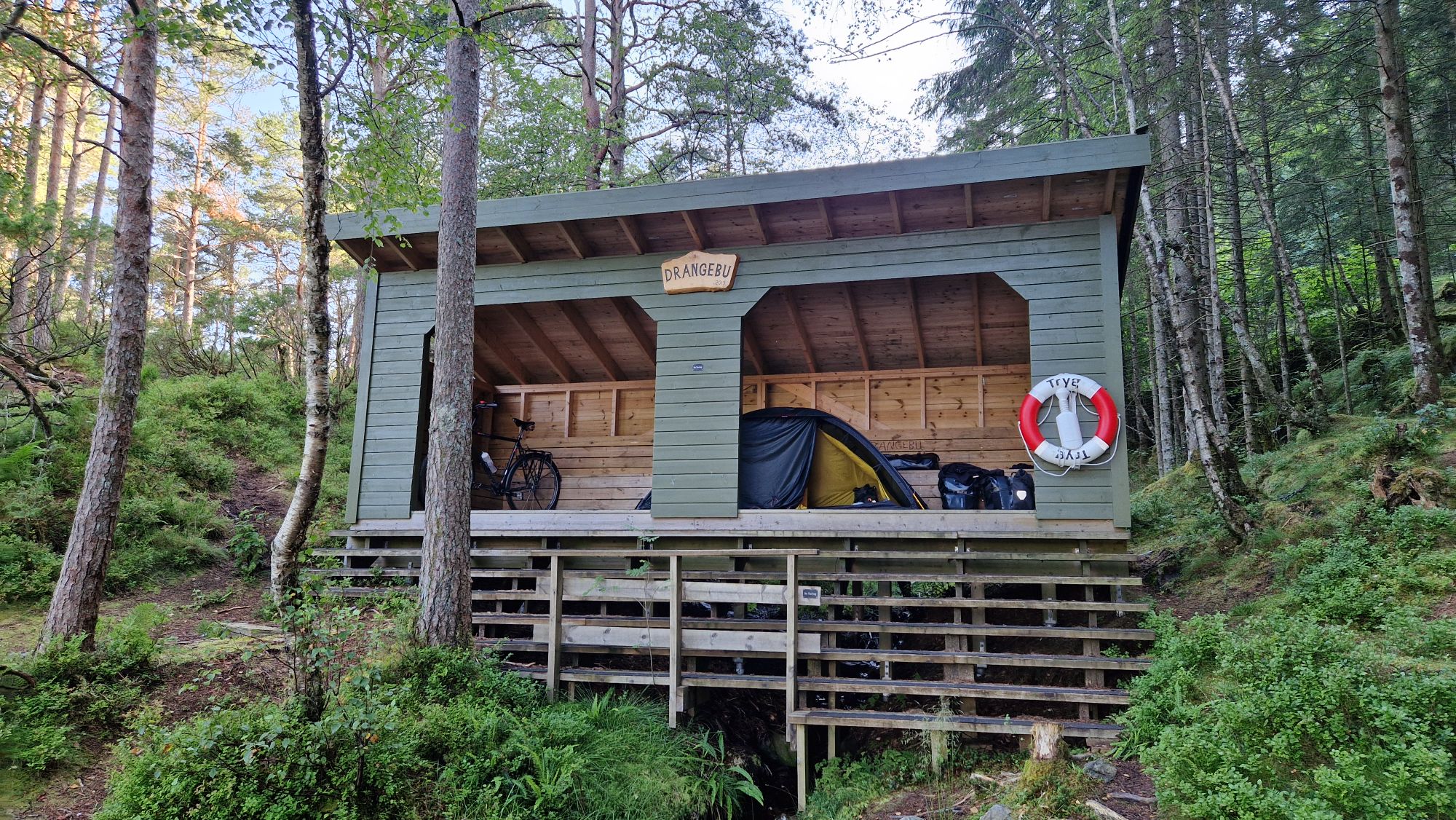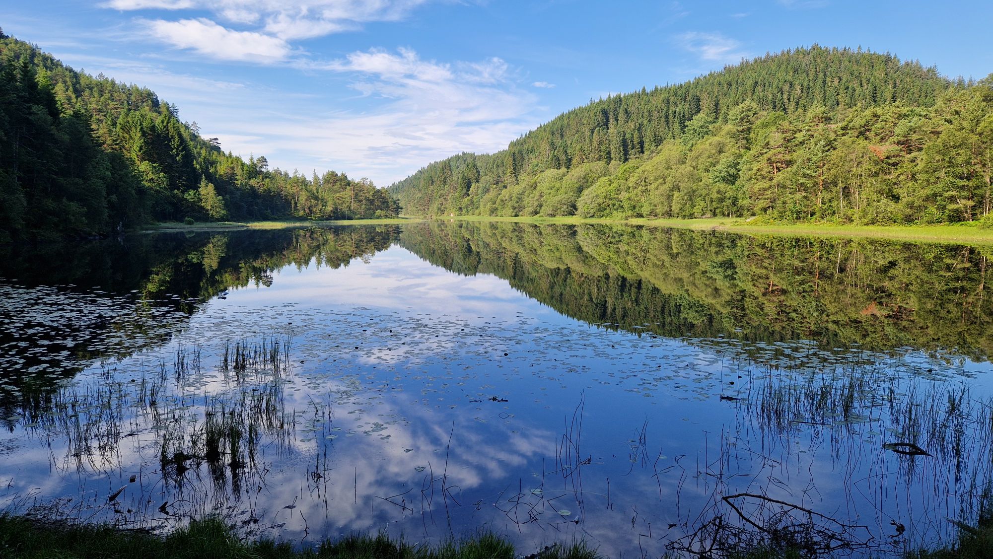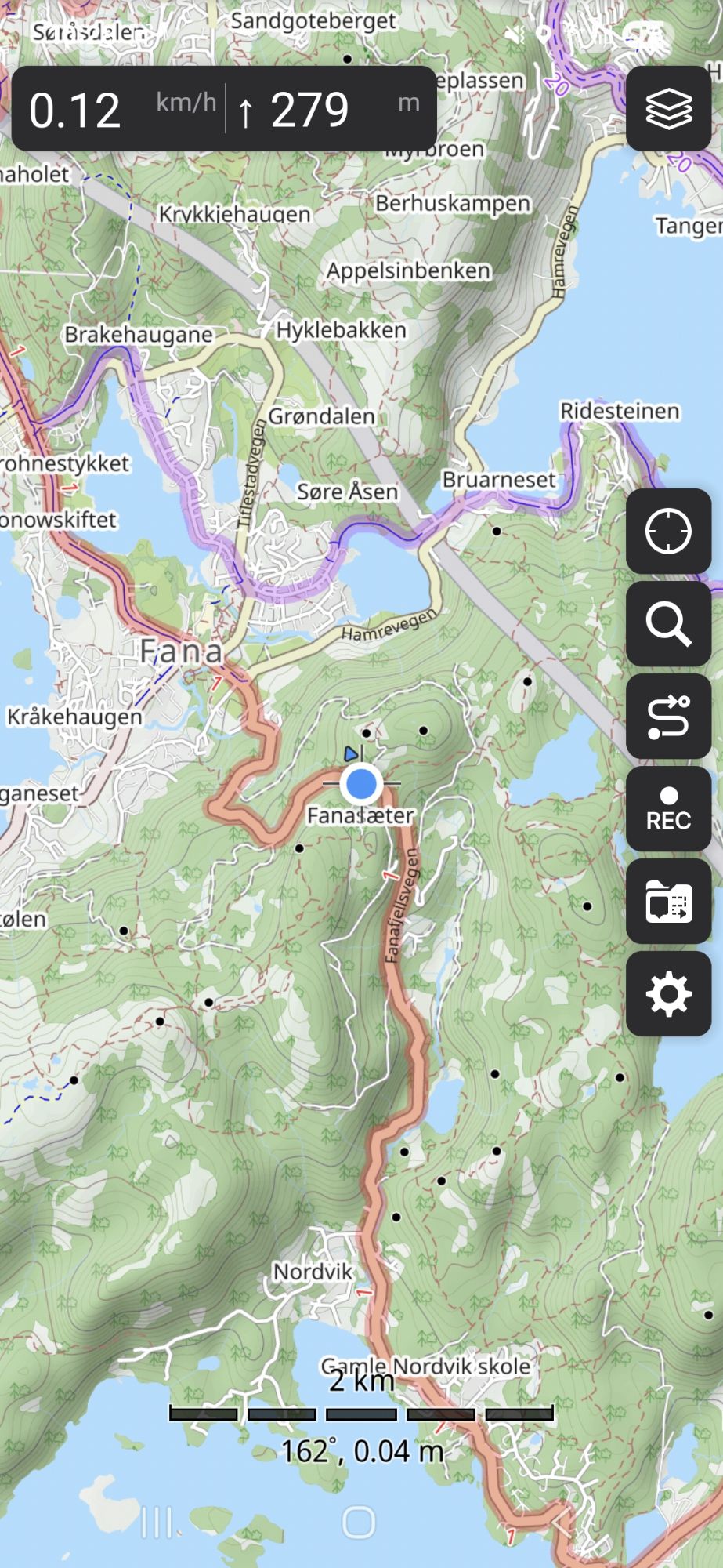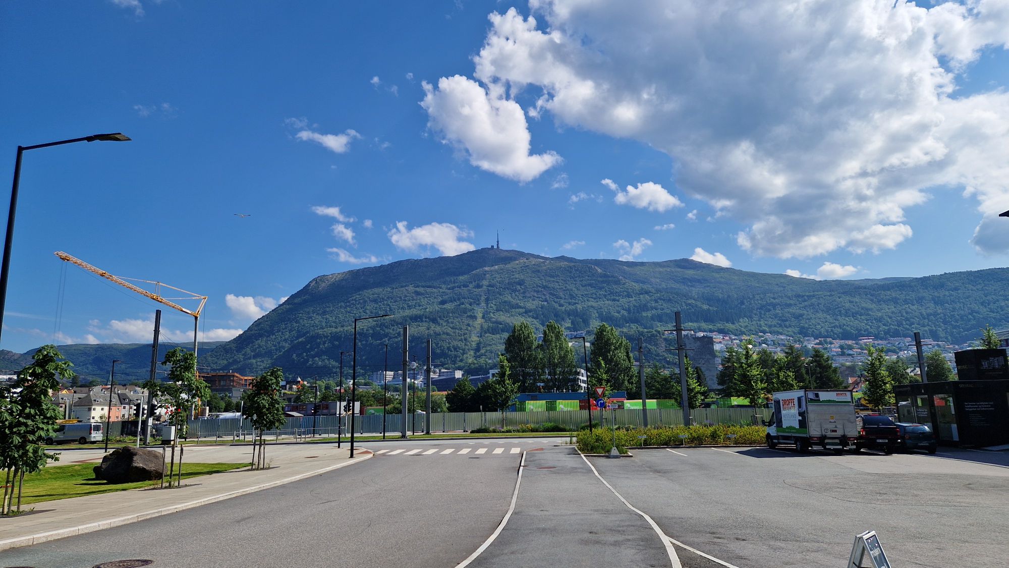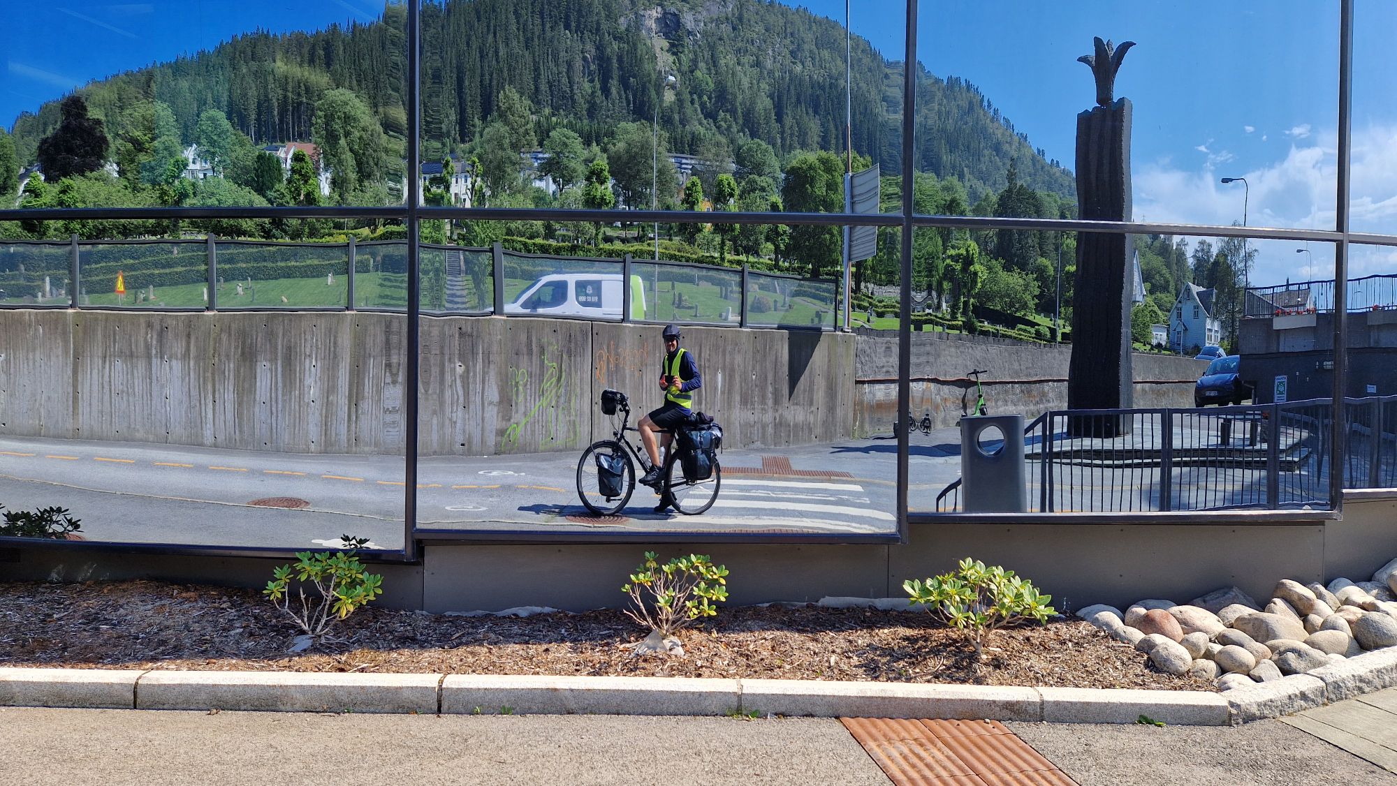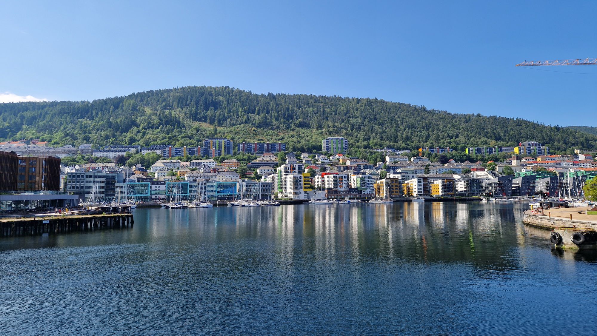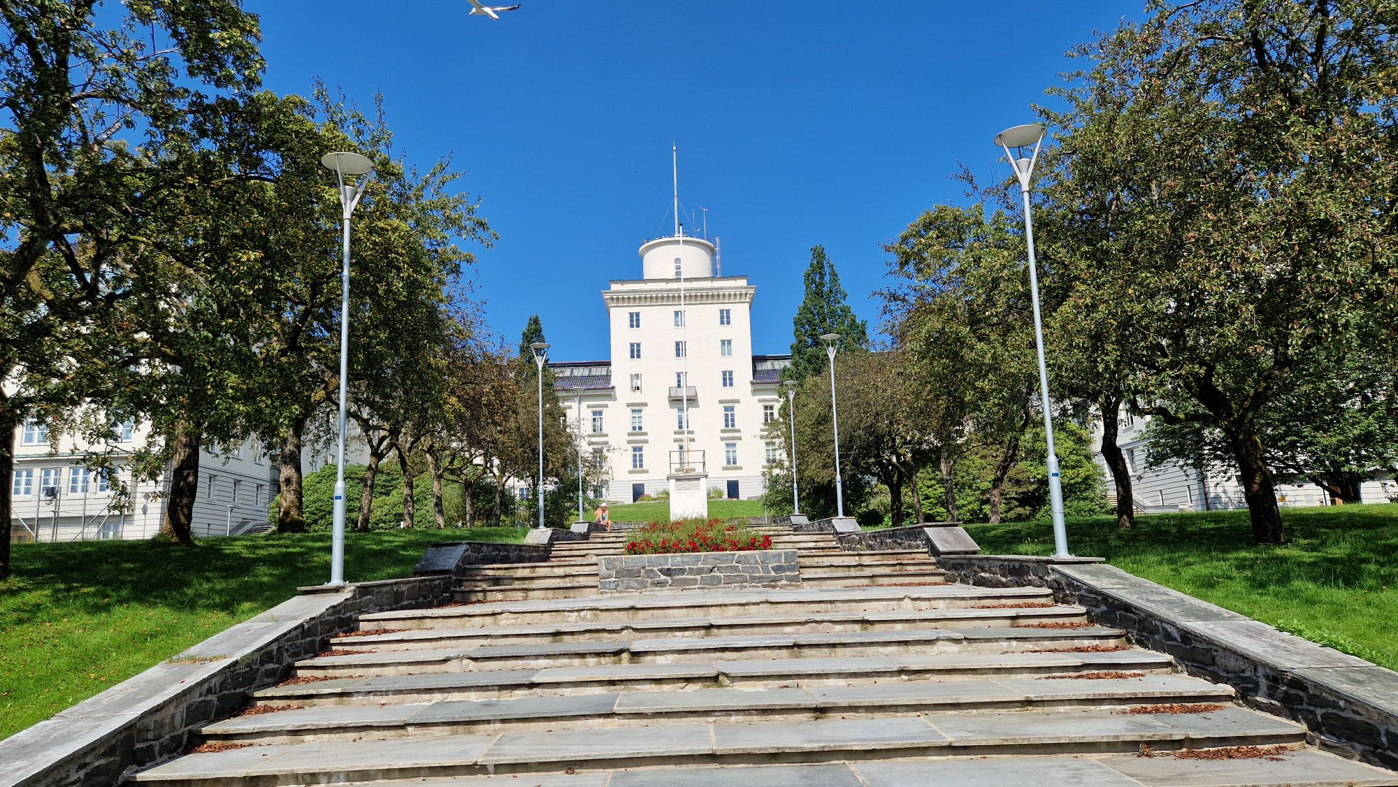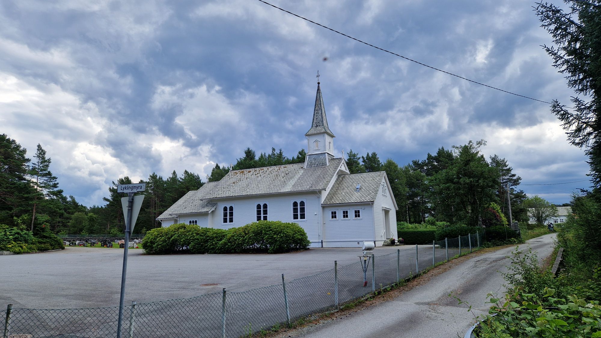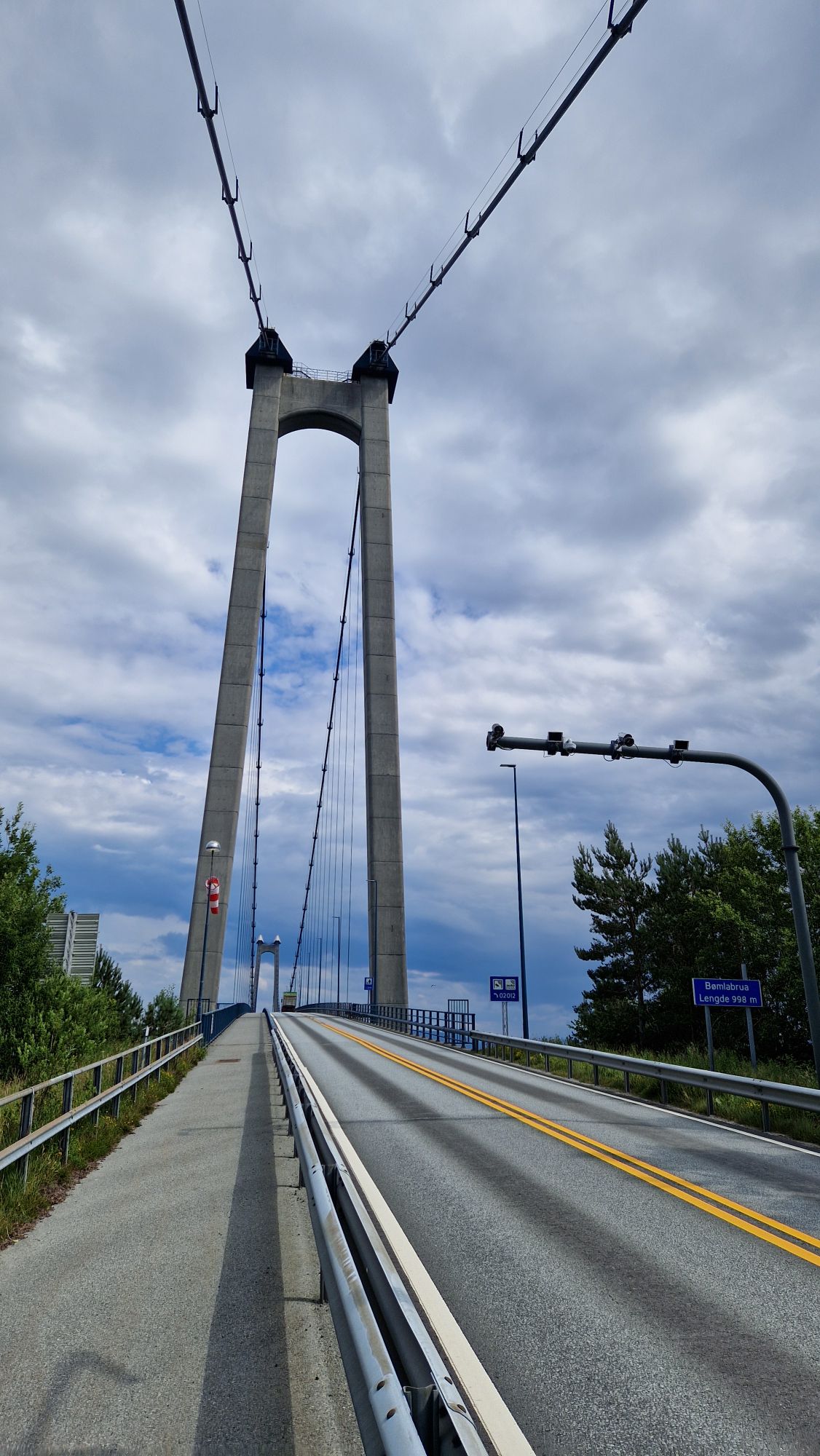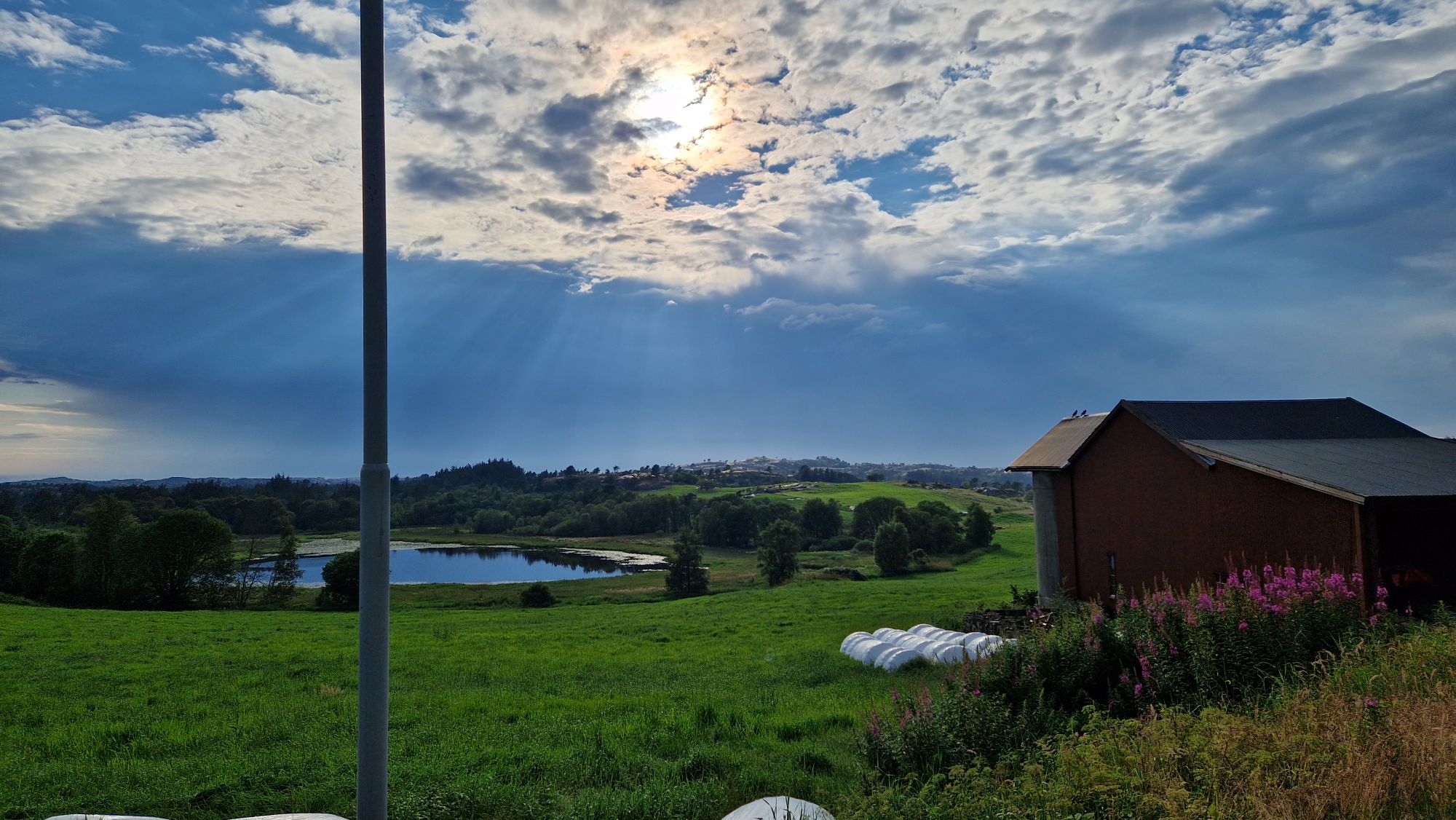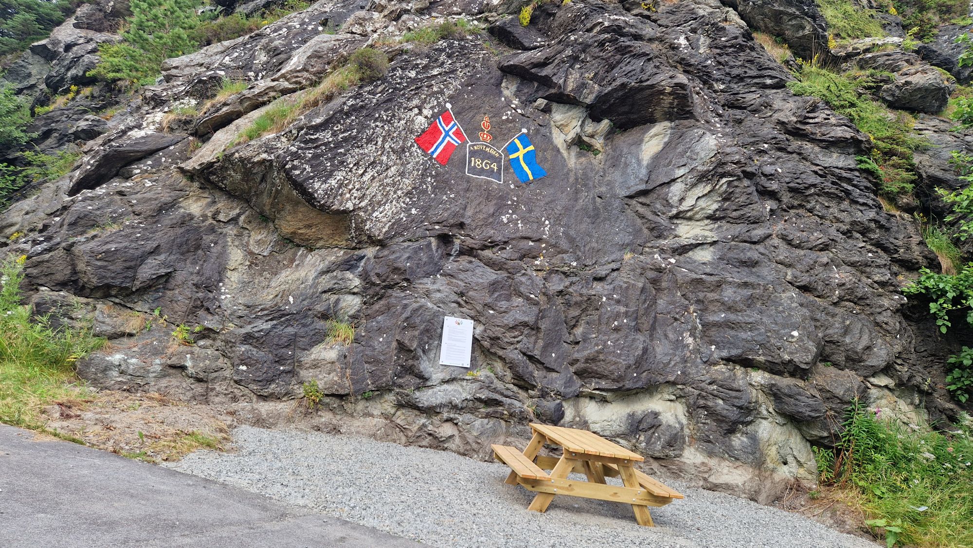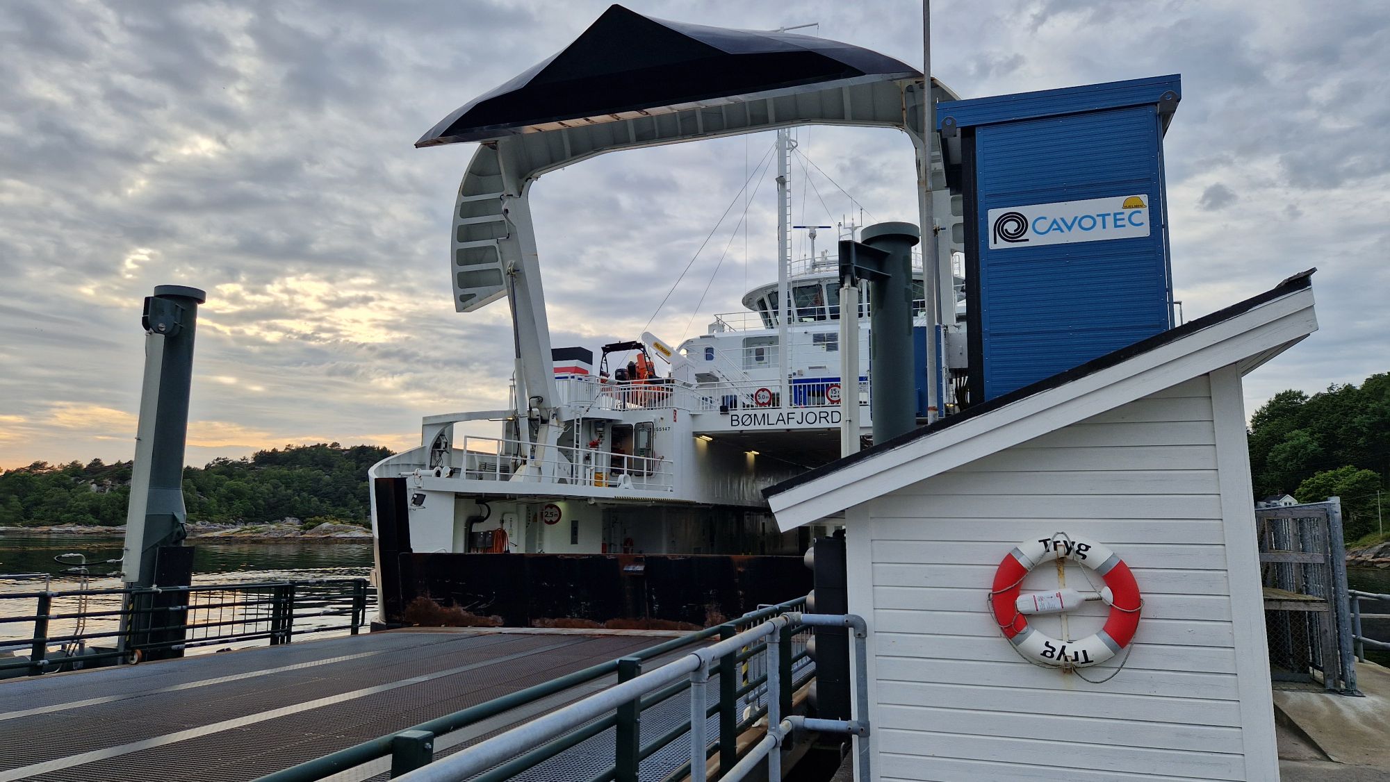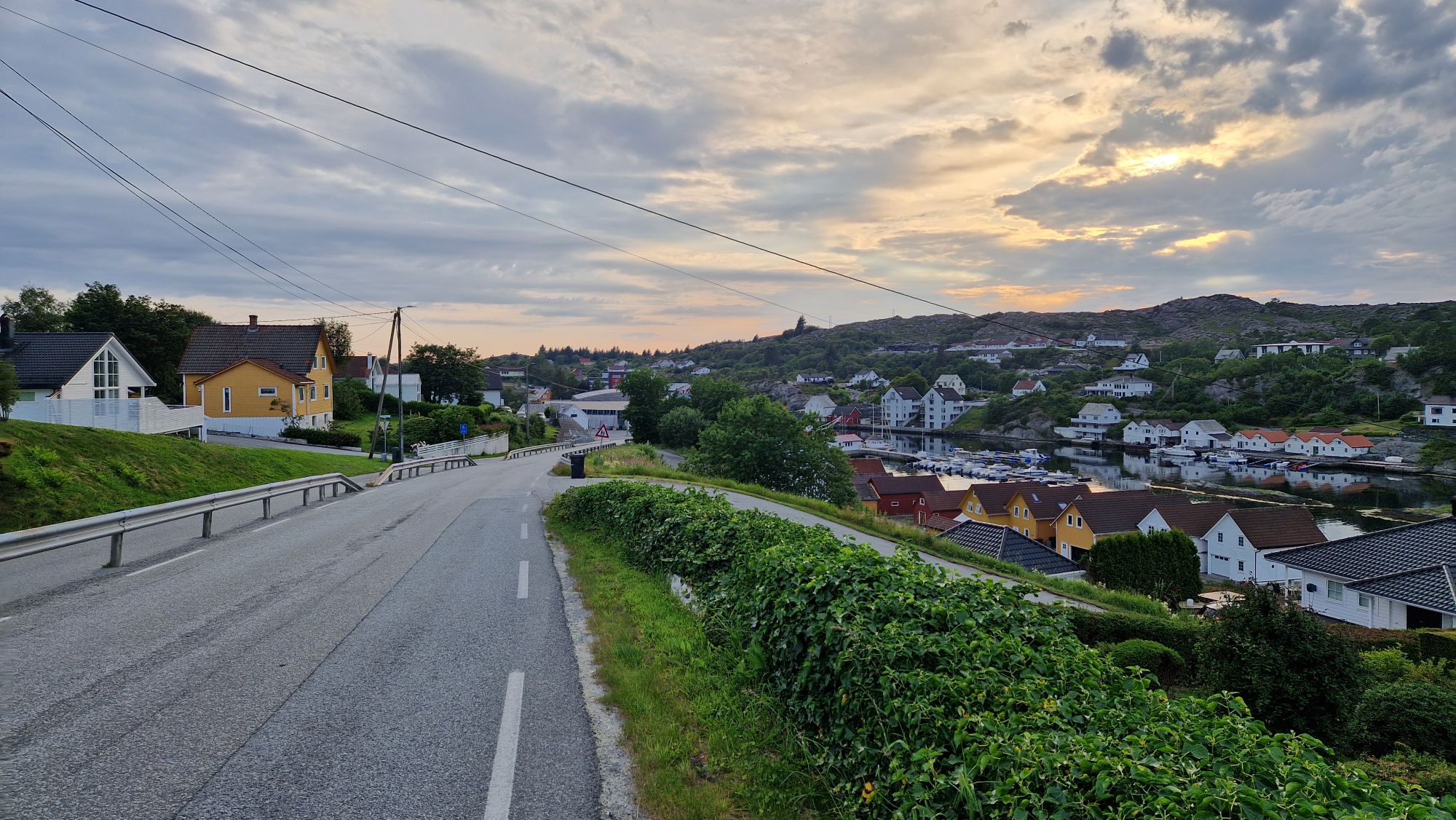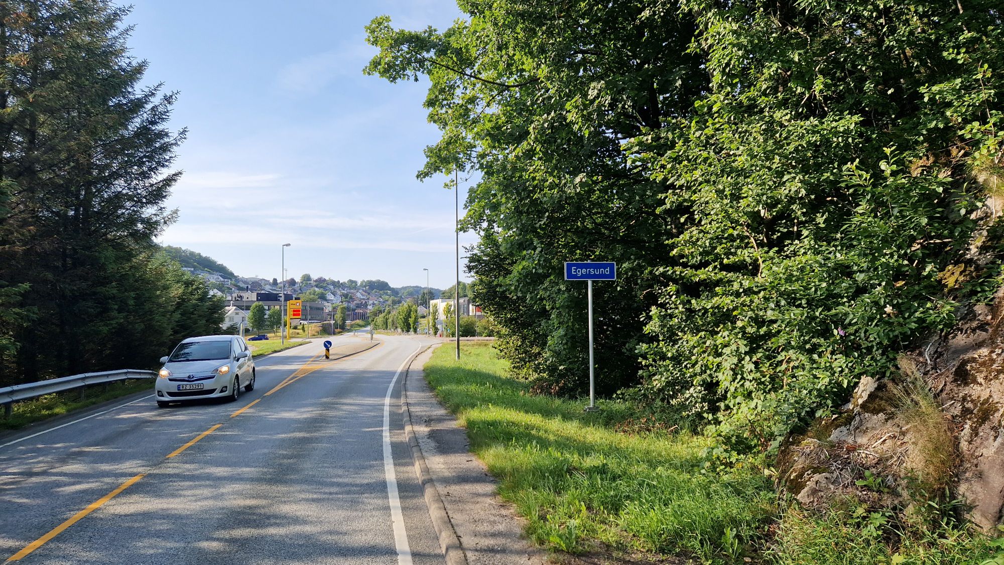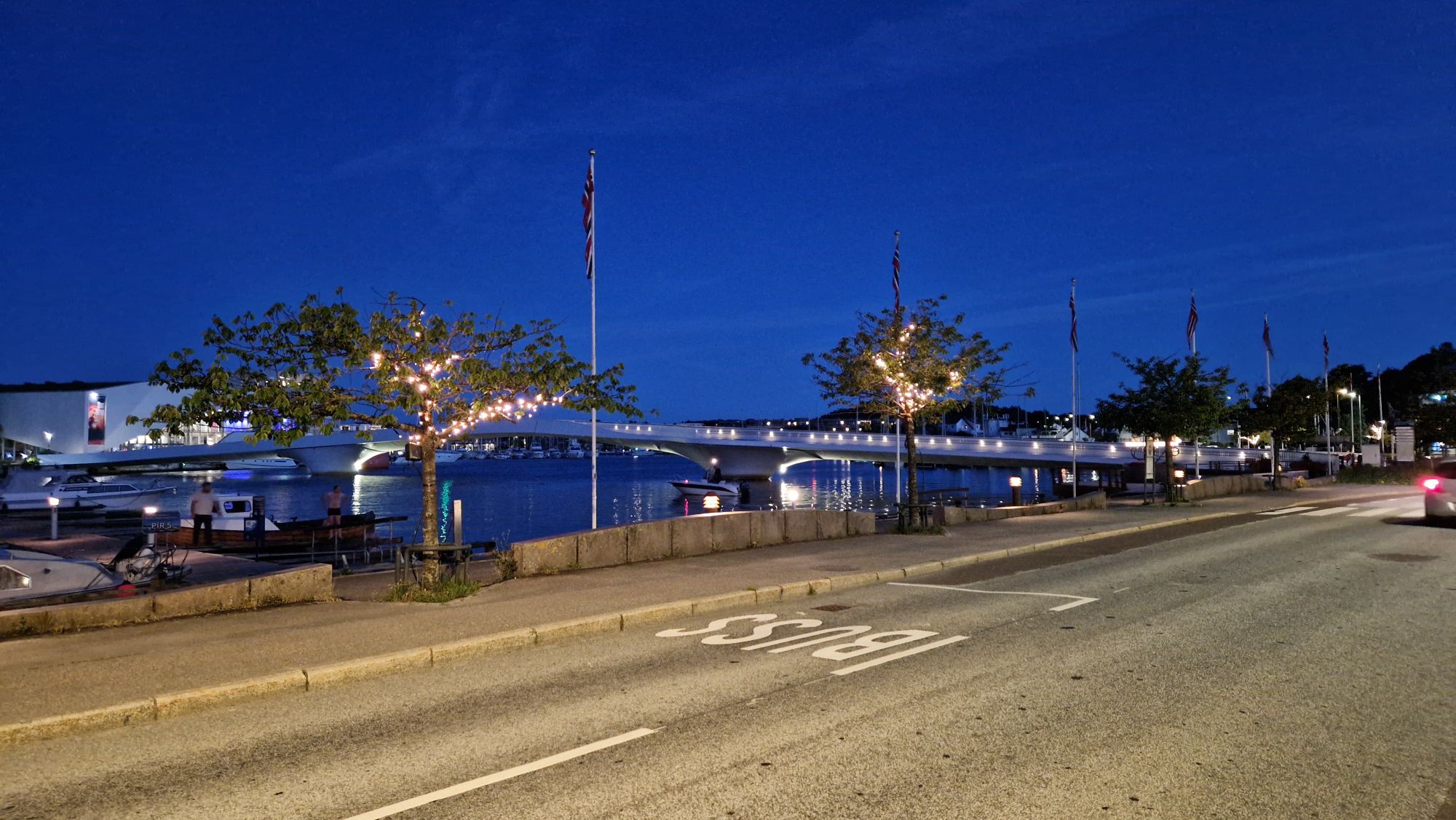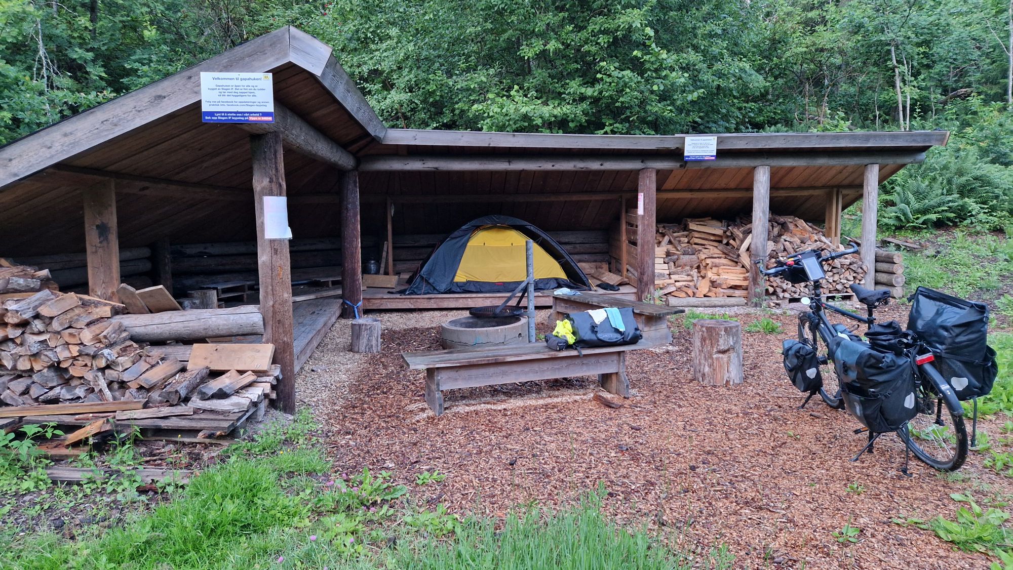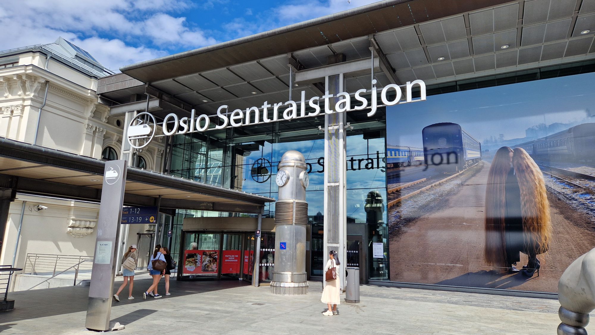
Bergen – Braunschweig
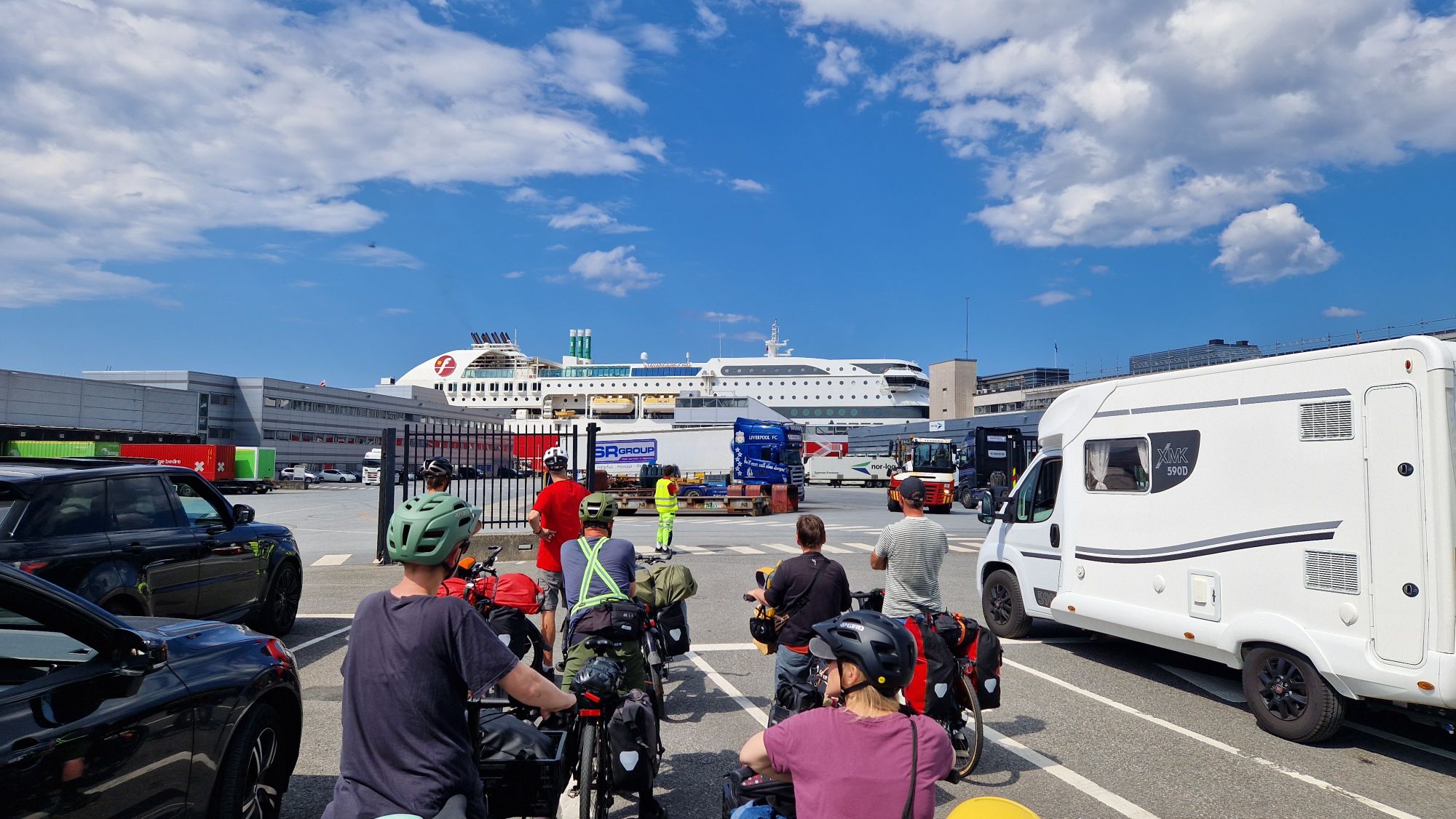
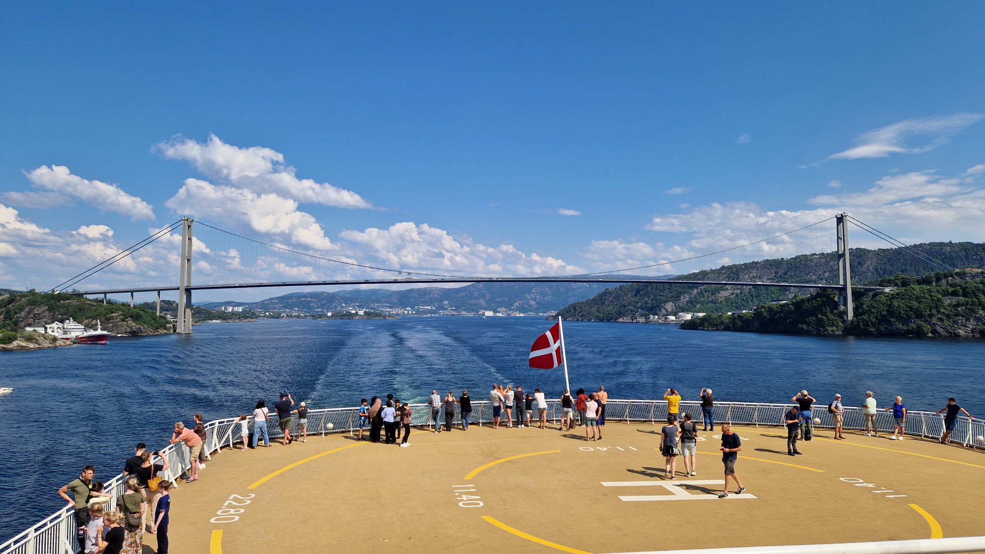
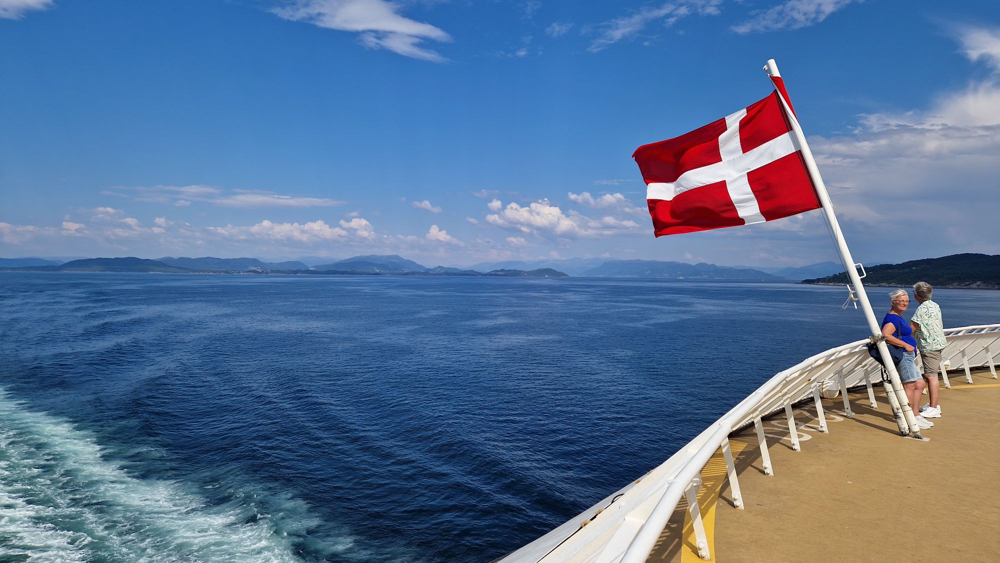
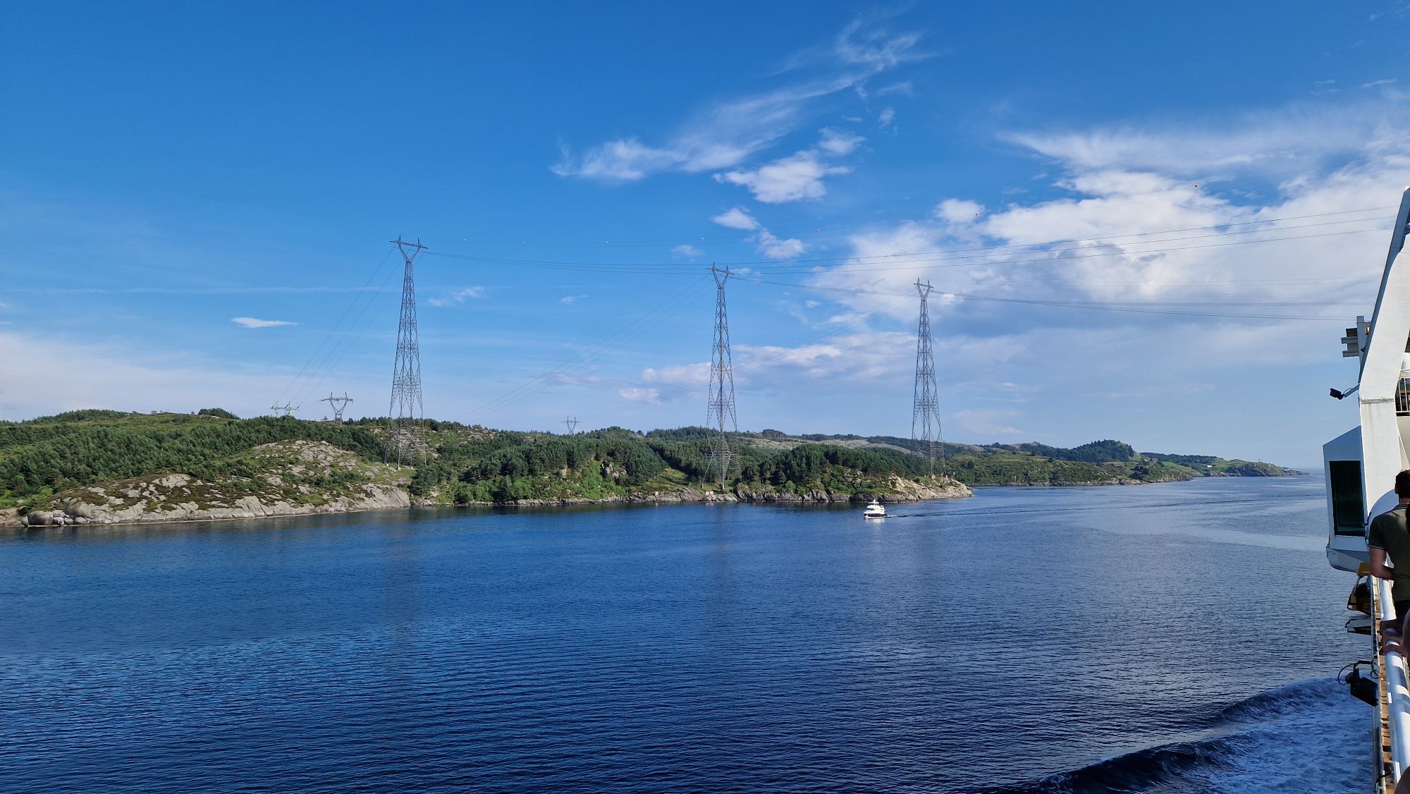
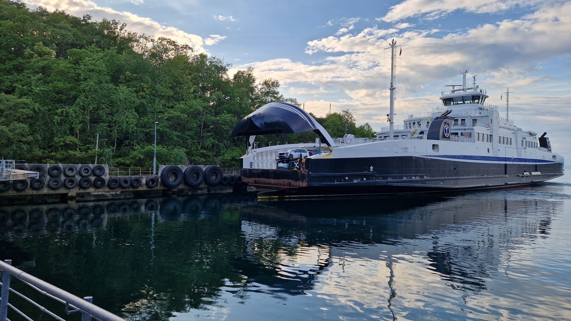
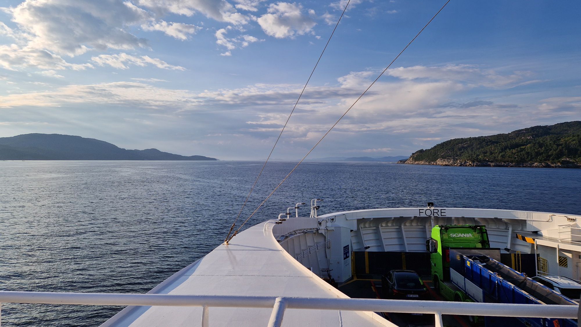
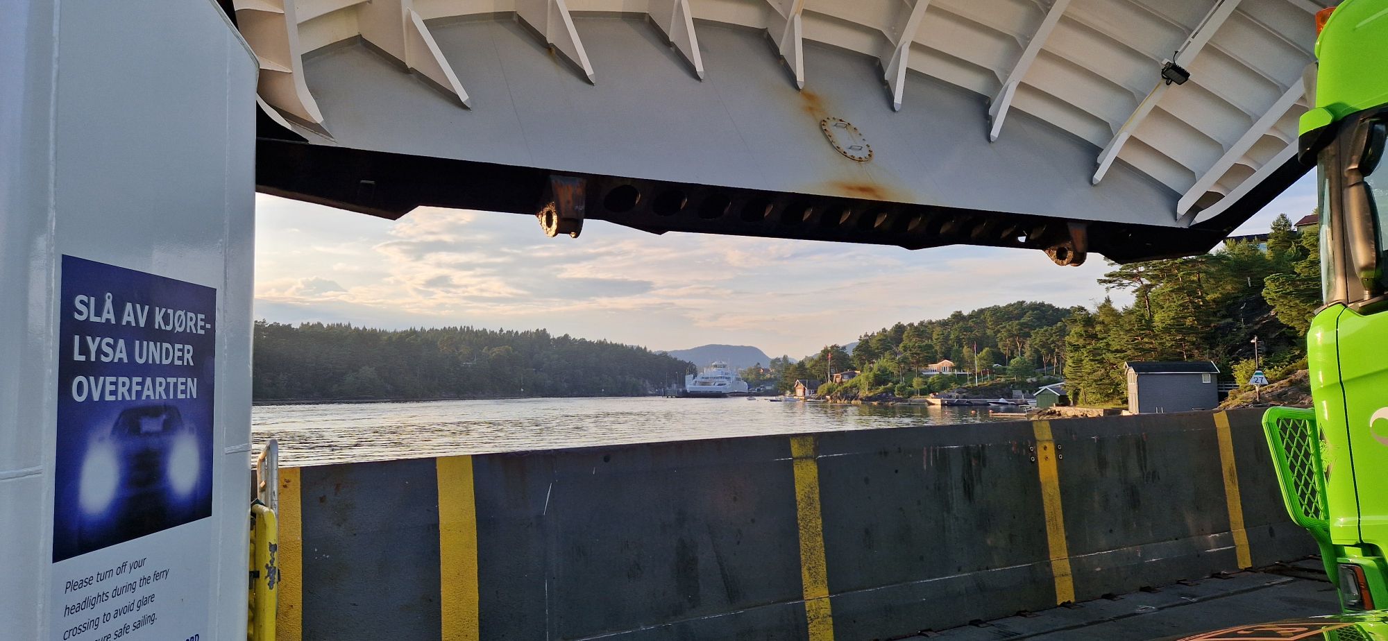
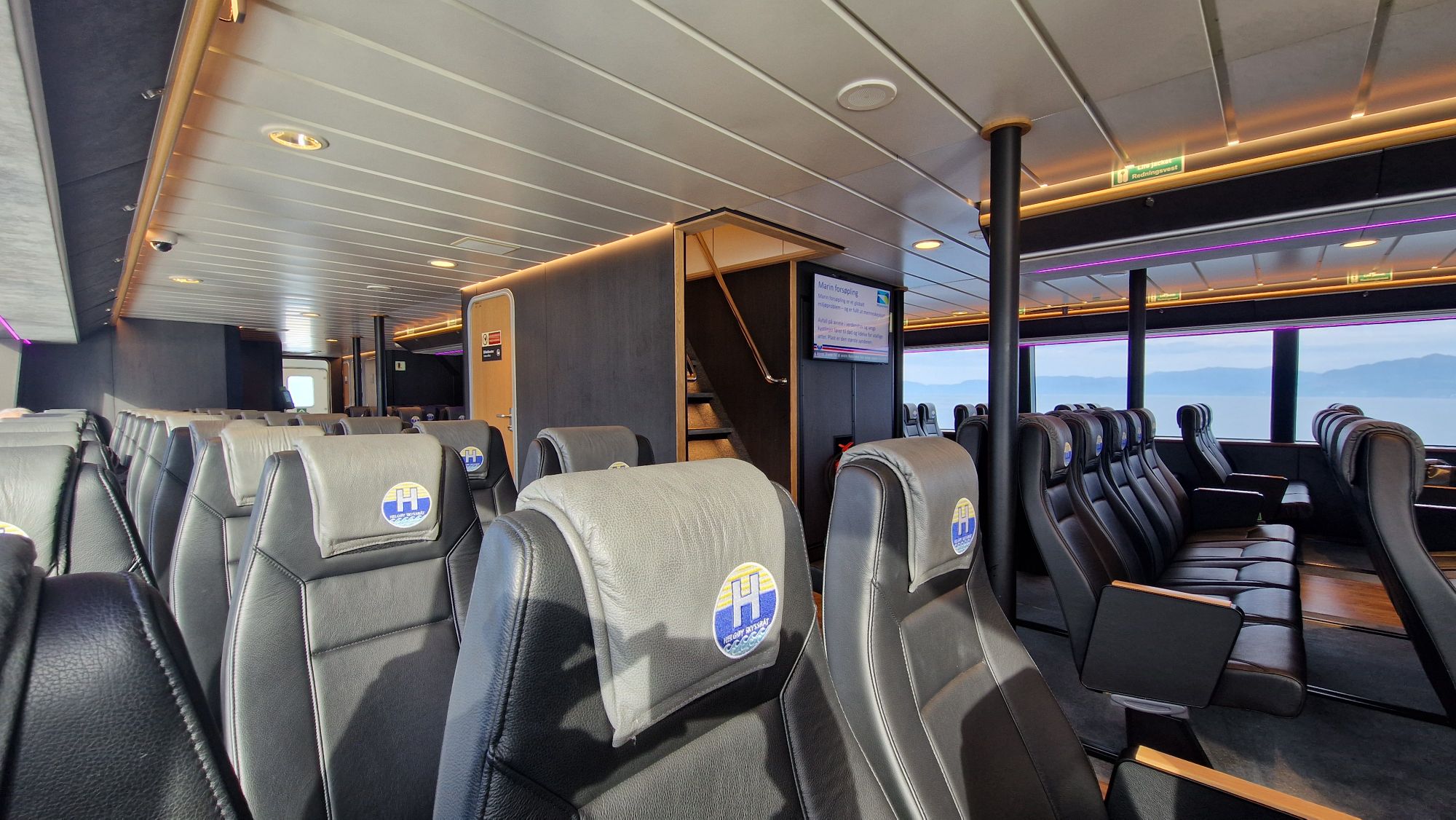
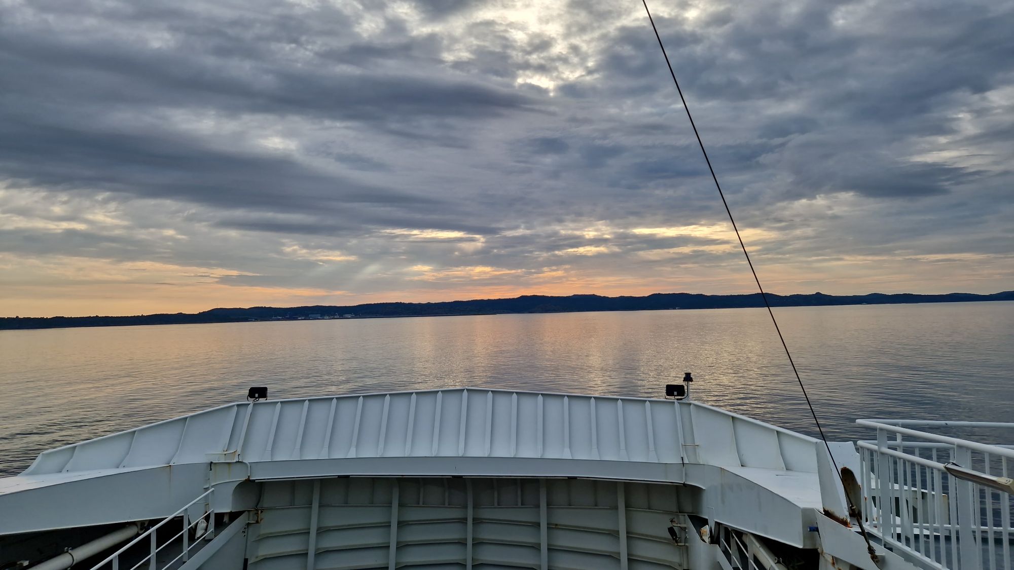
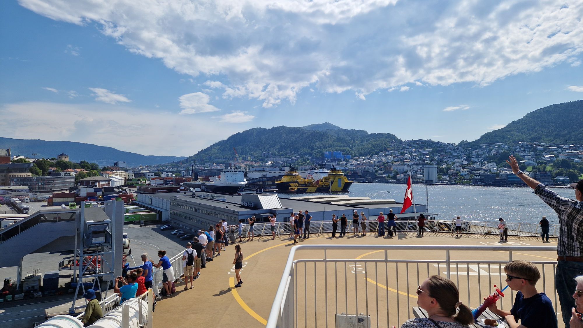
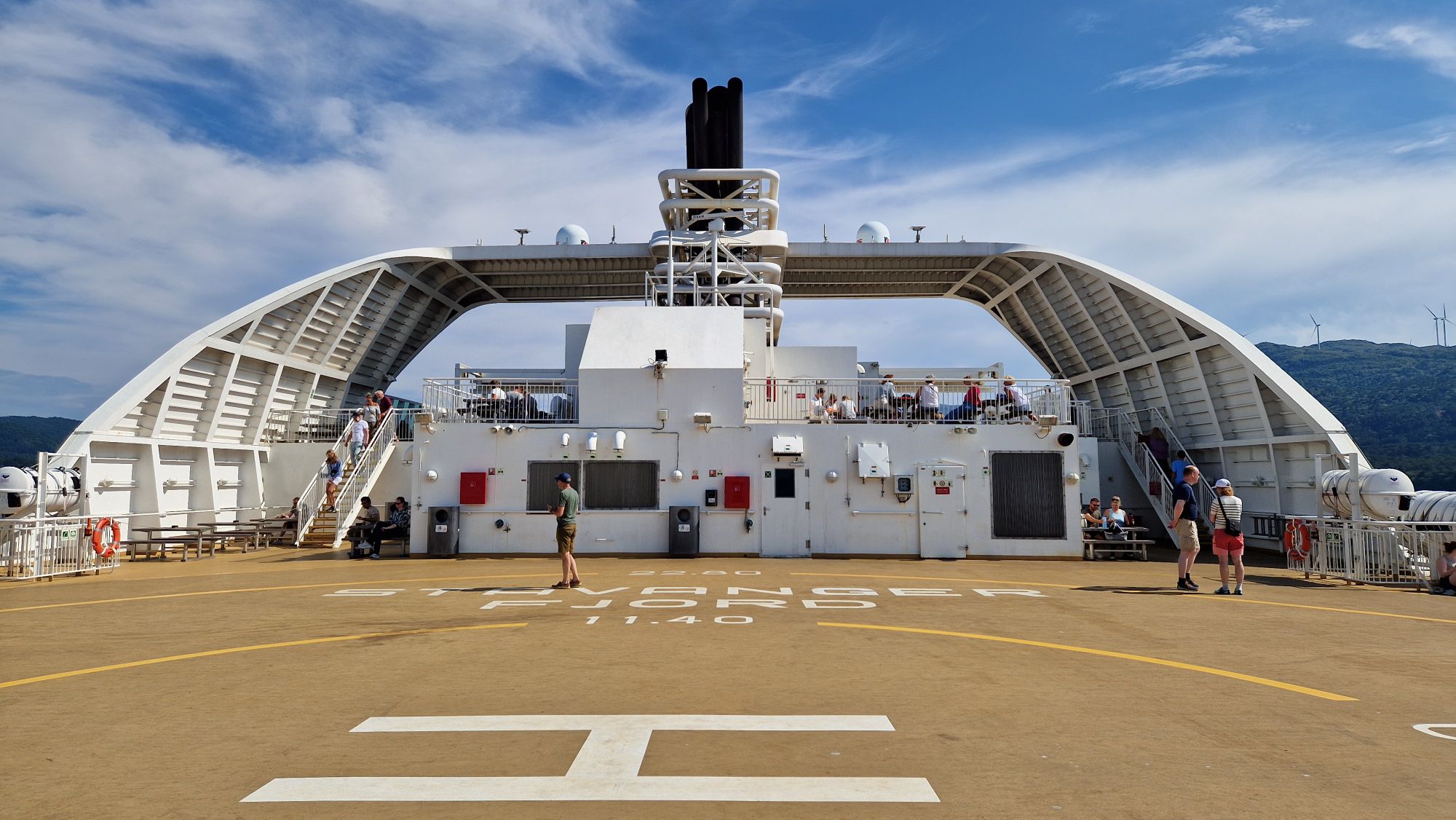
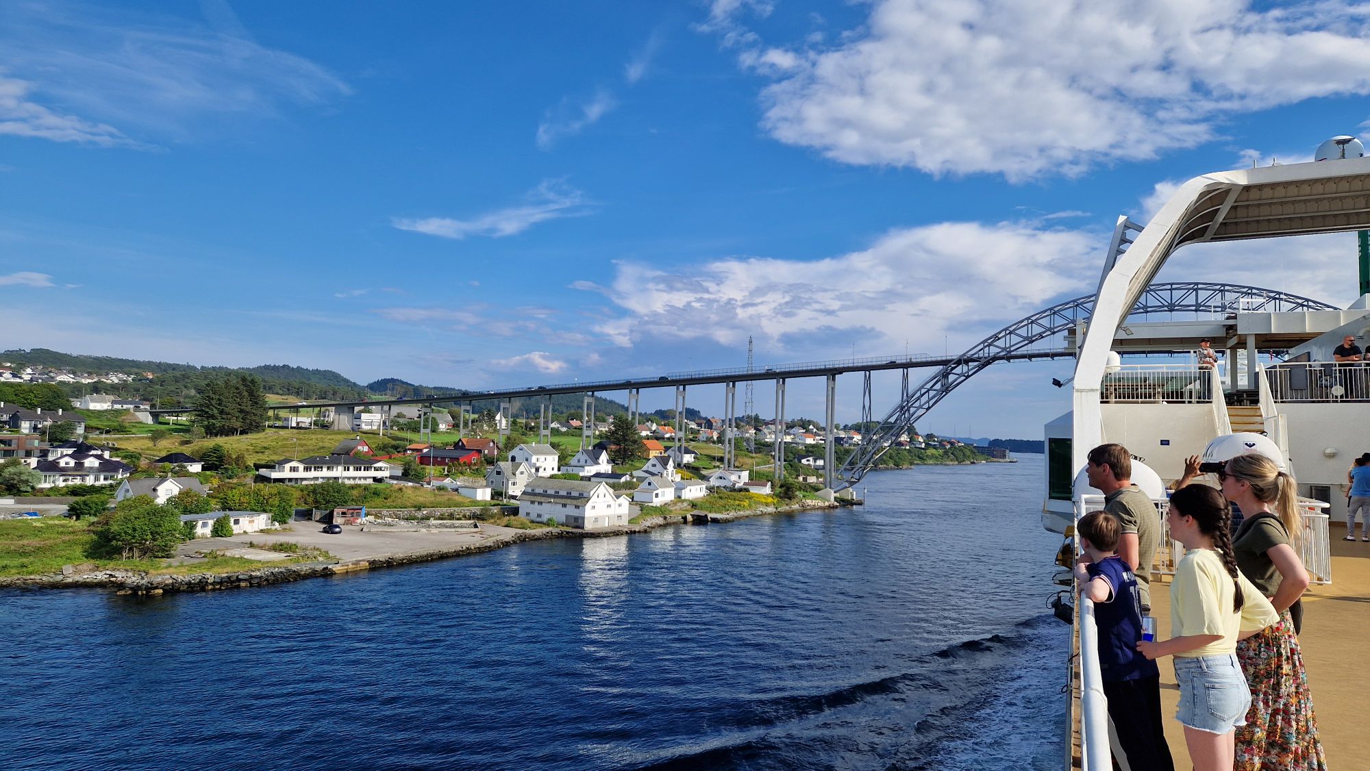
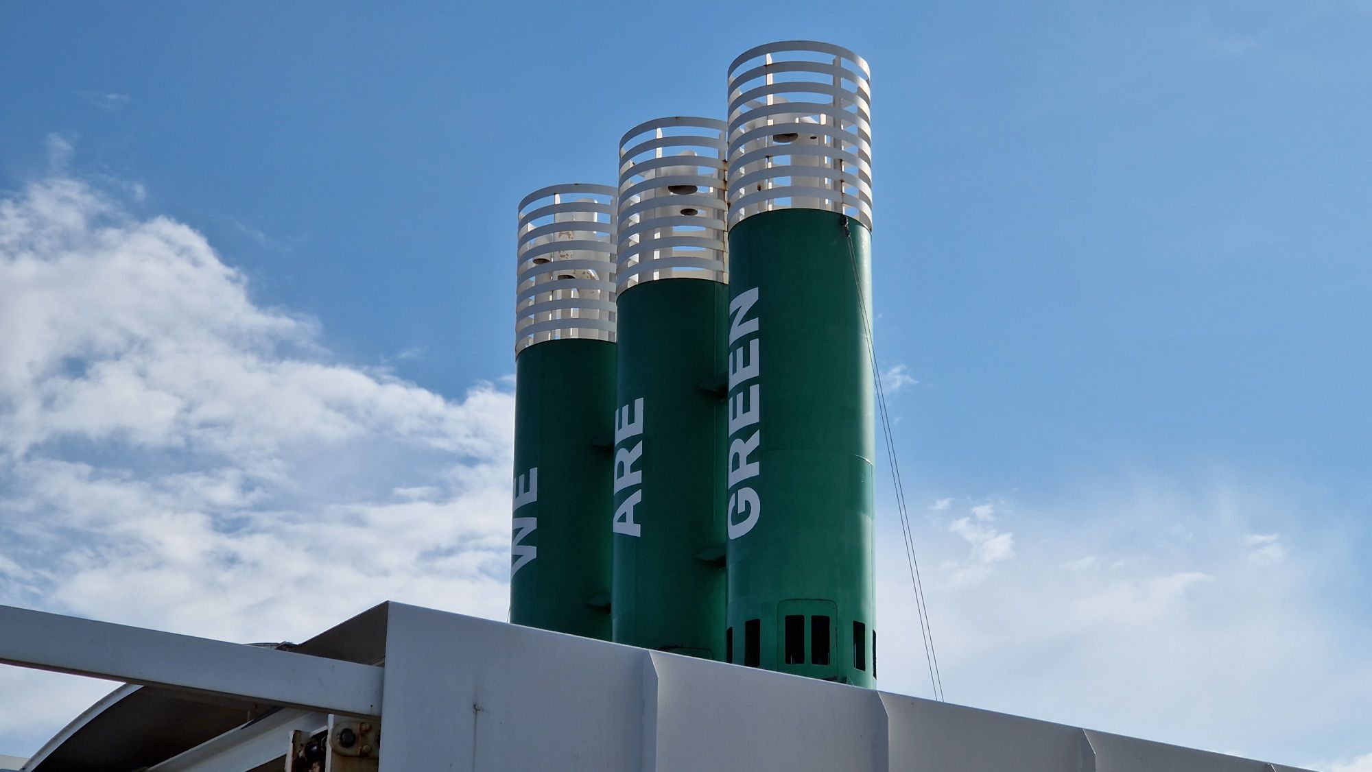
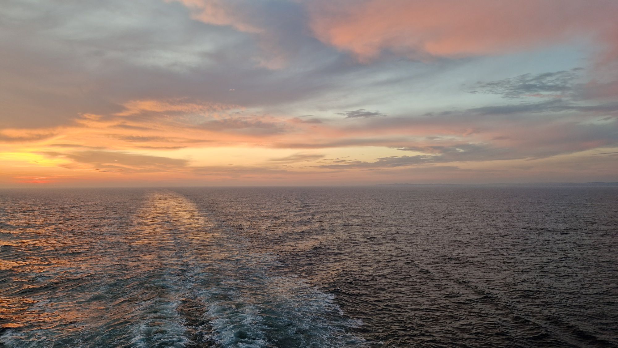
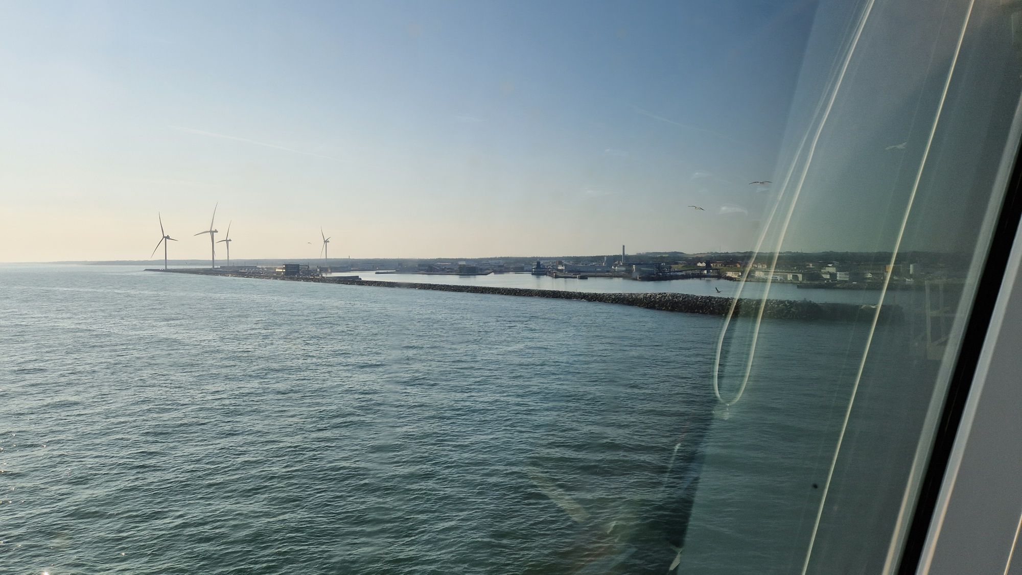
Thursday, July 17th. The travel via Fjordline’s MS Stavangerfjord was very nice. The weather was excellent and the sea was very quiet. The ship itself had everything a traveler could need: shopping centers, restaurants, bars, toilets, cabins of different price classes, a playground, a dog room and perhaps much more. After dinner, I’ve watched the sunset and went sleeping around midnight. At this time of the year far in the north, the sun sets just a bit below the horizon, so we’re always having dusk/dawn and no “full” nights. There were no visible stars except a planet or two.


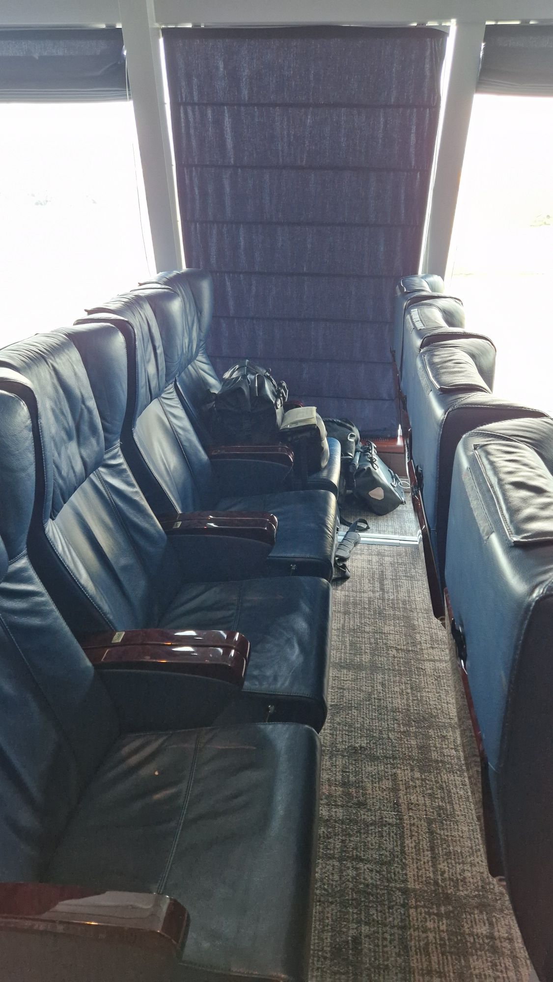
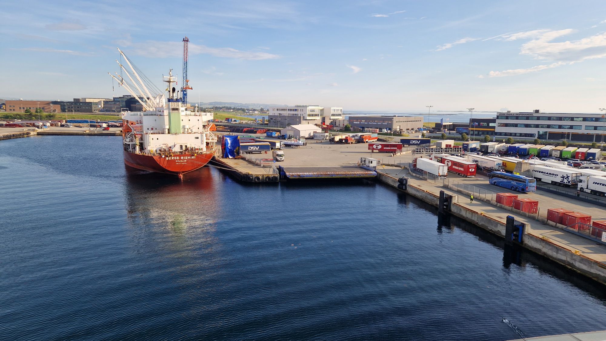
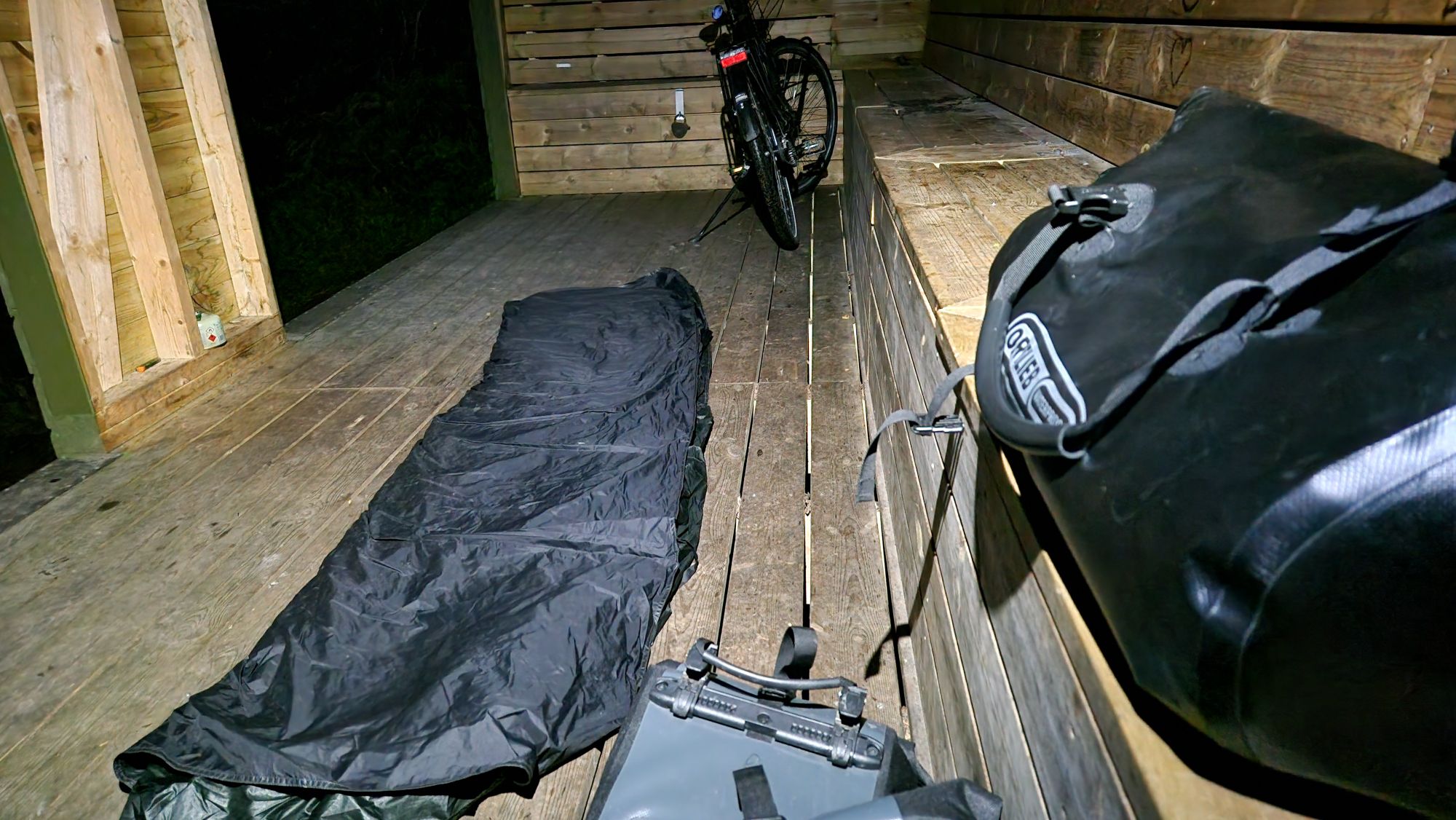
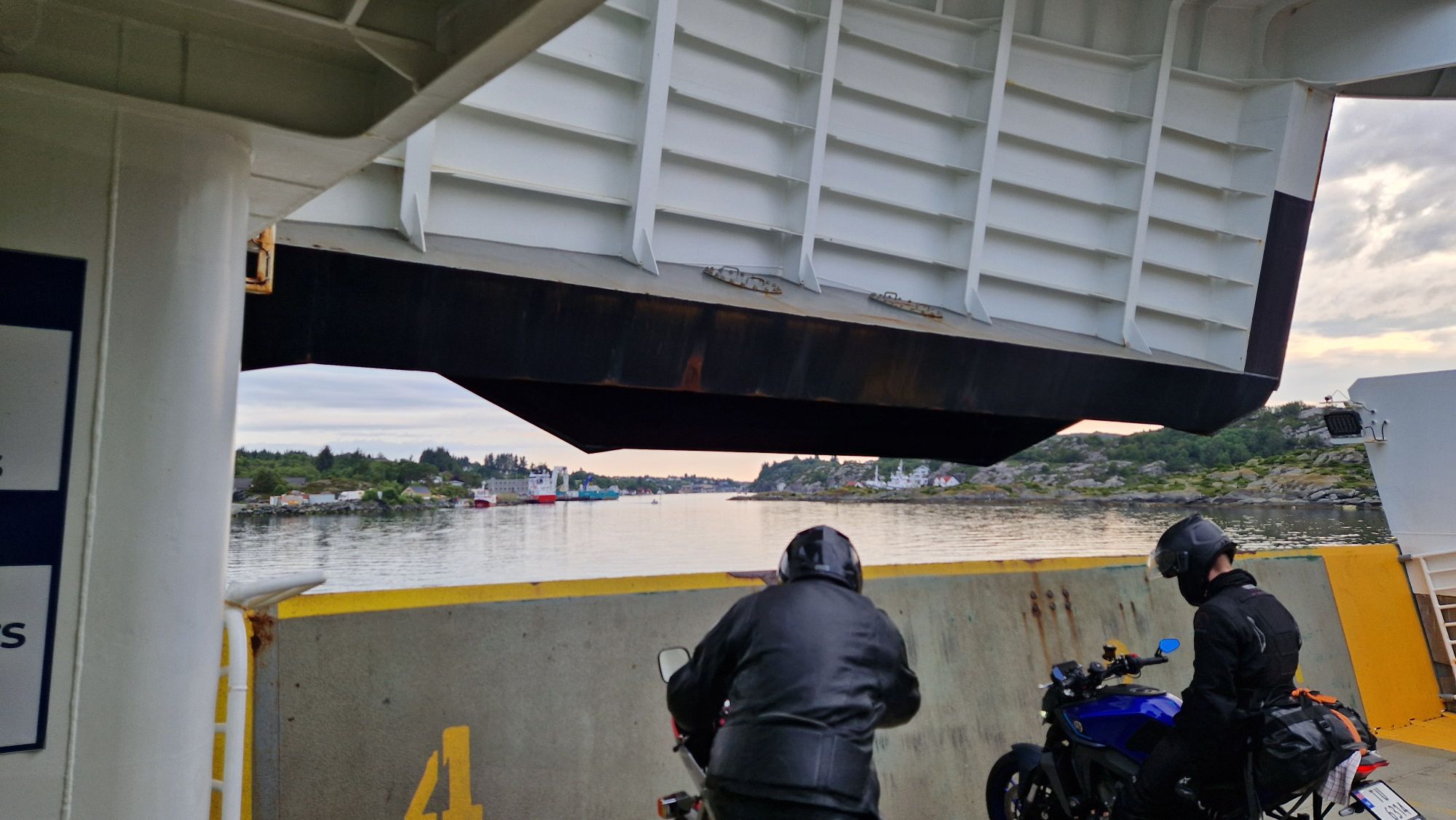
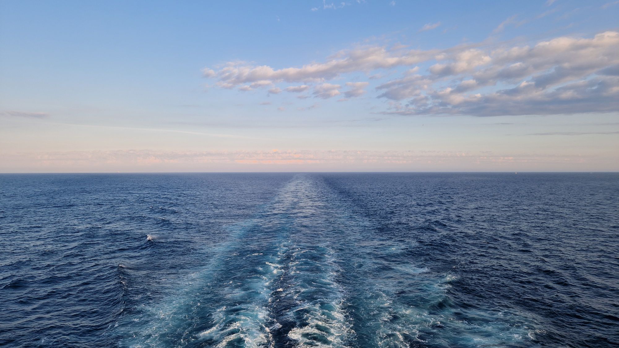
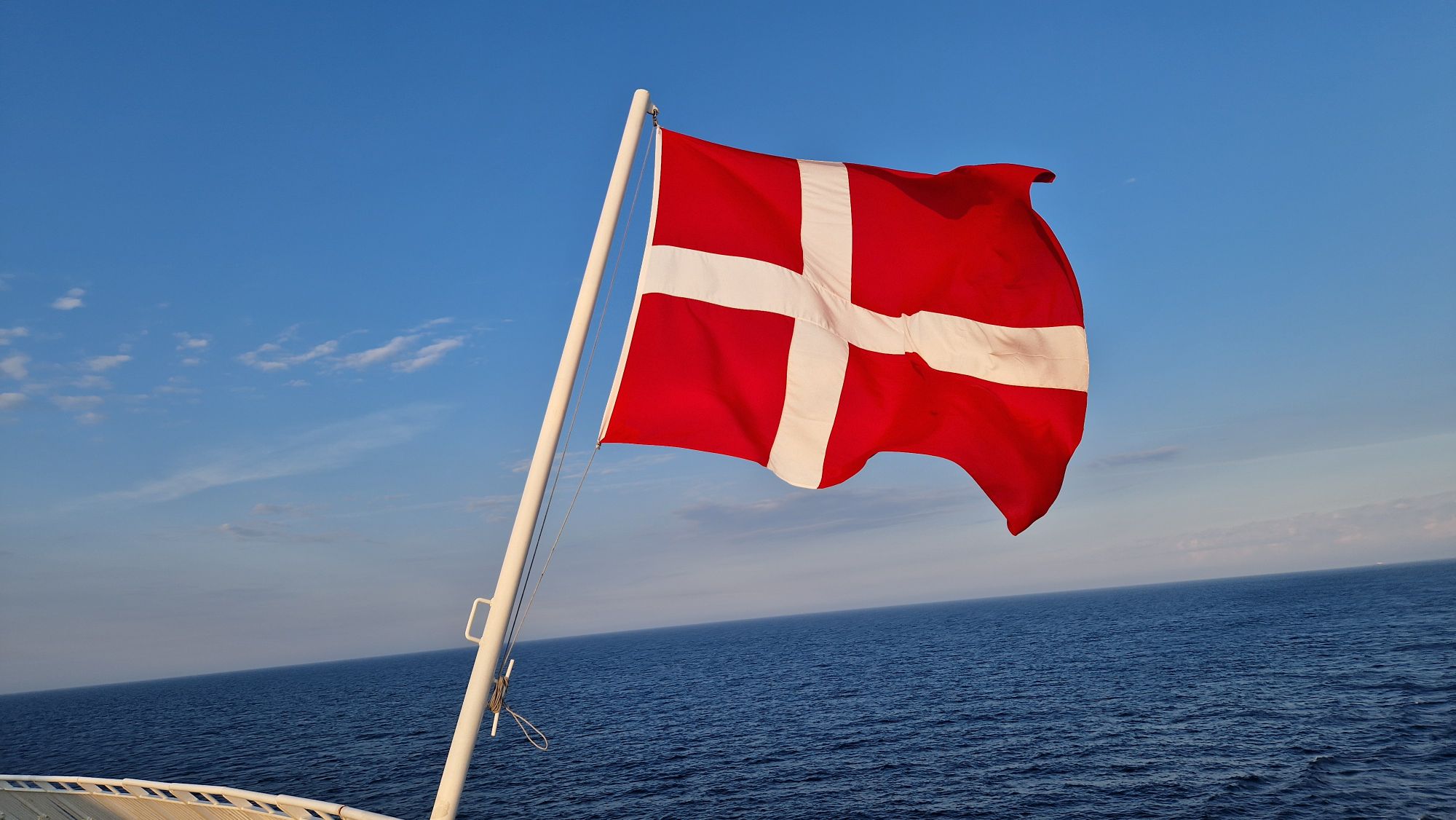
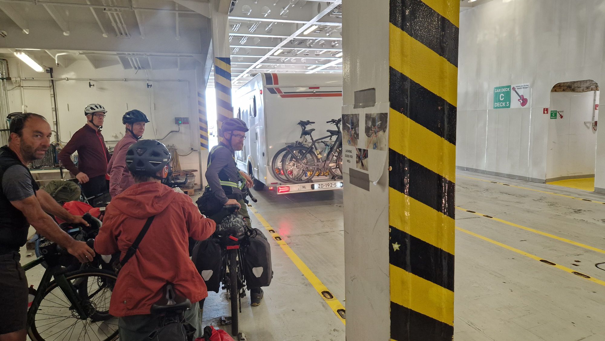
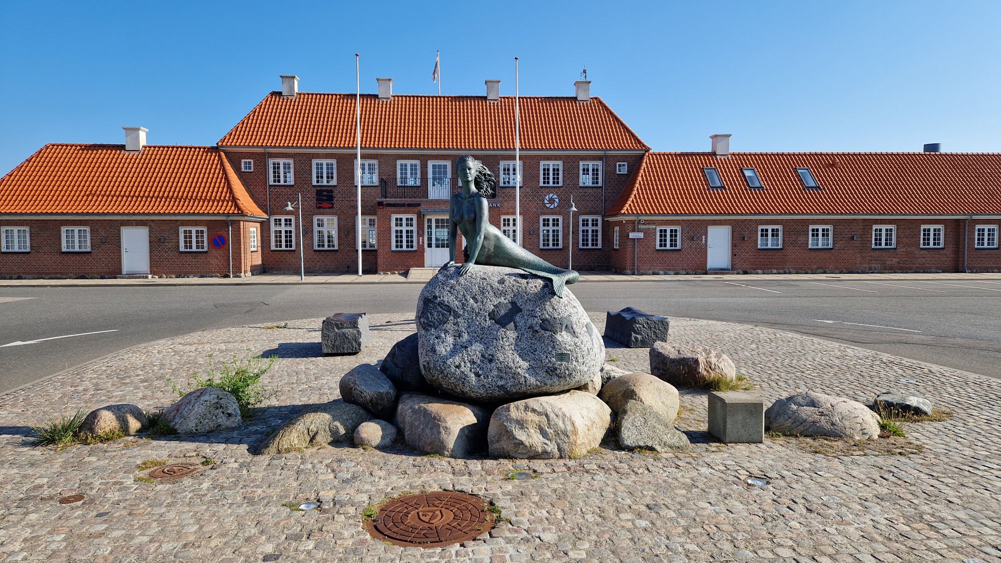
I’ve booked the comfort seat for 31 EUR instead of a cabin for €€€ reasons. Sleeping in such a seat was fine for an hour or so, but I woke up with a hurting neck. Luckily, my room was empty, and I could spread out a bit, which helped me to get a decent amount of sleep. I woke up around 6am and watched the sea a bit before having breakfast and leaving the ship around 8am in Hirtshals, Denmark.

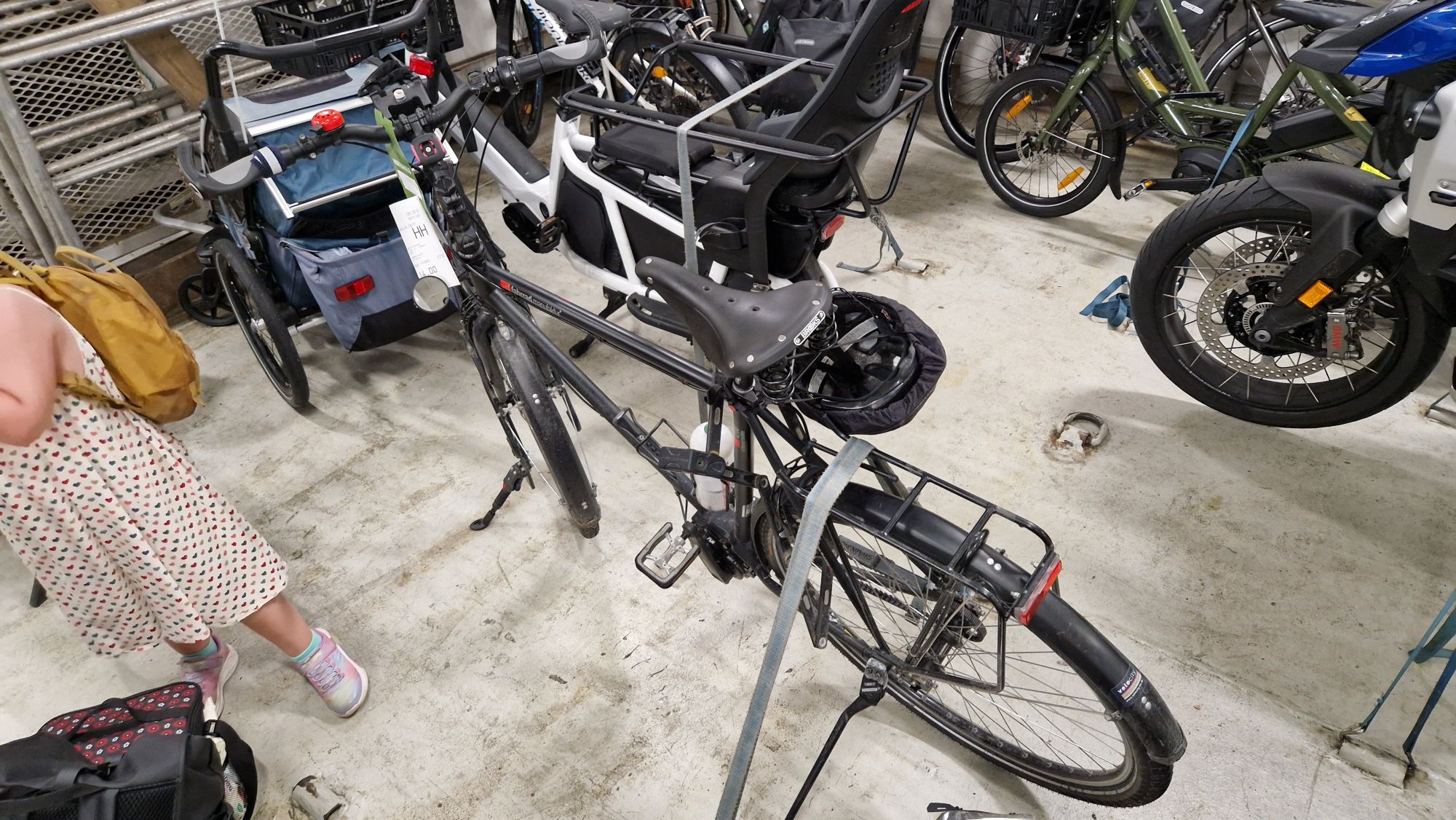
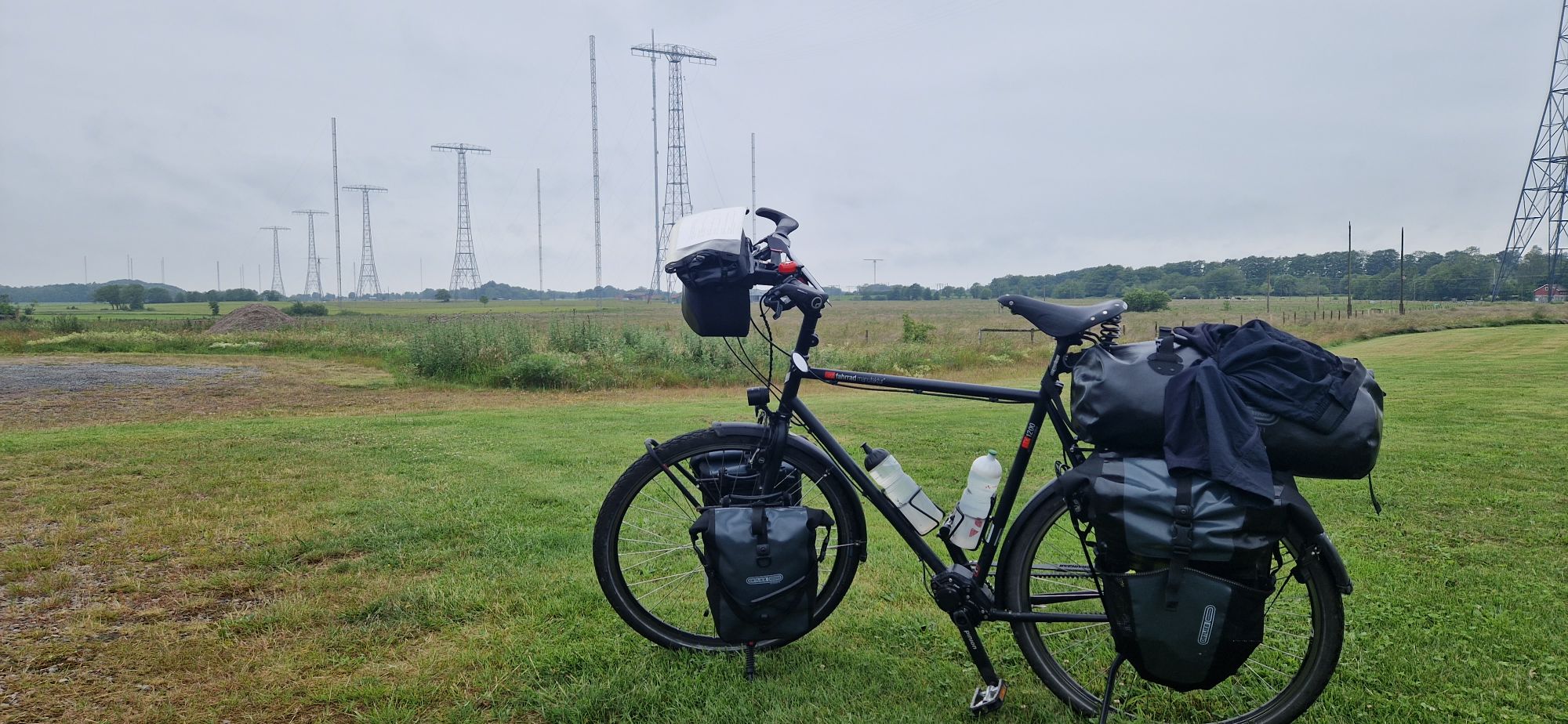
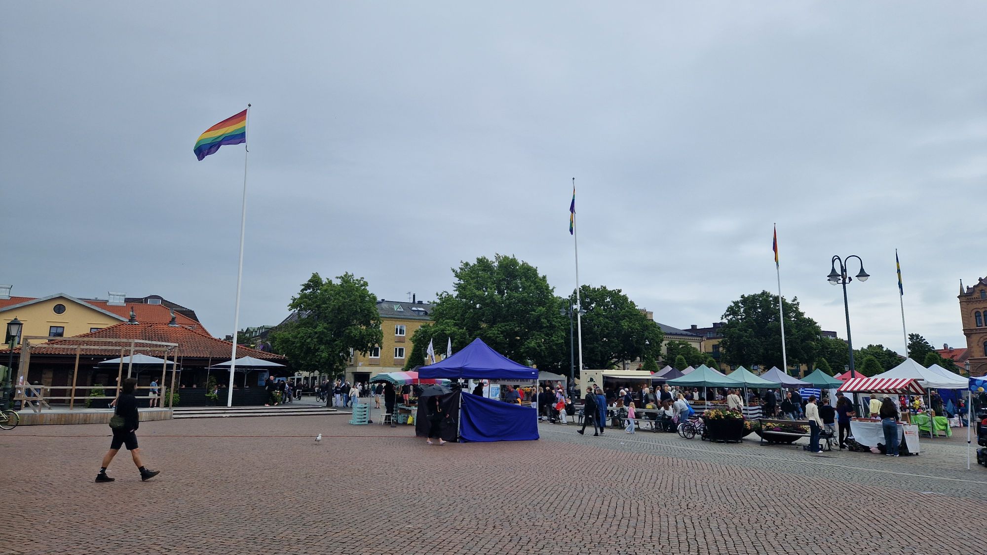
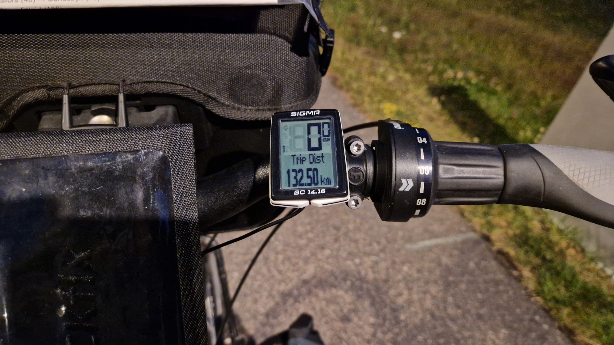
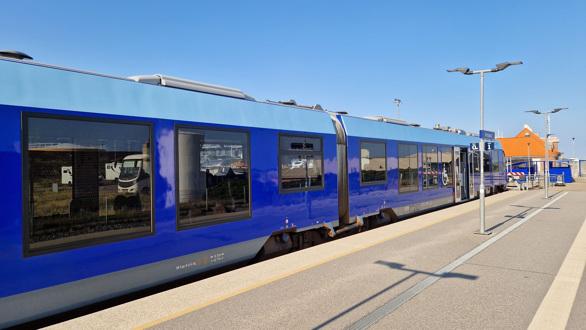
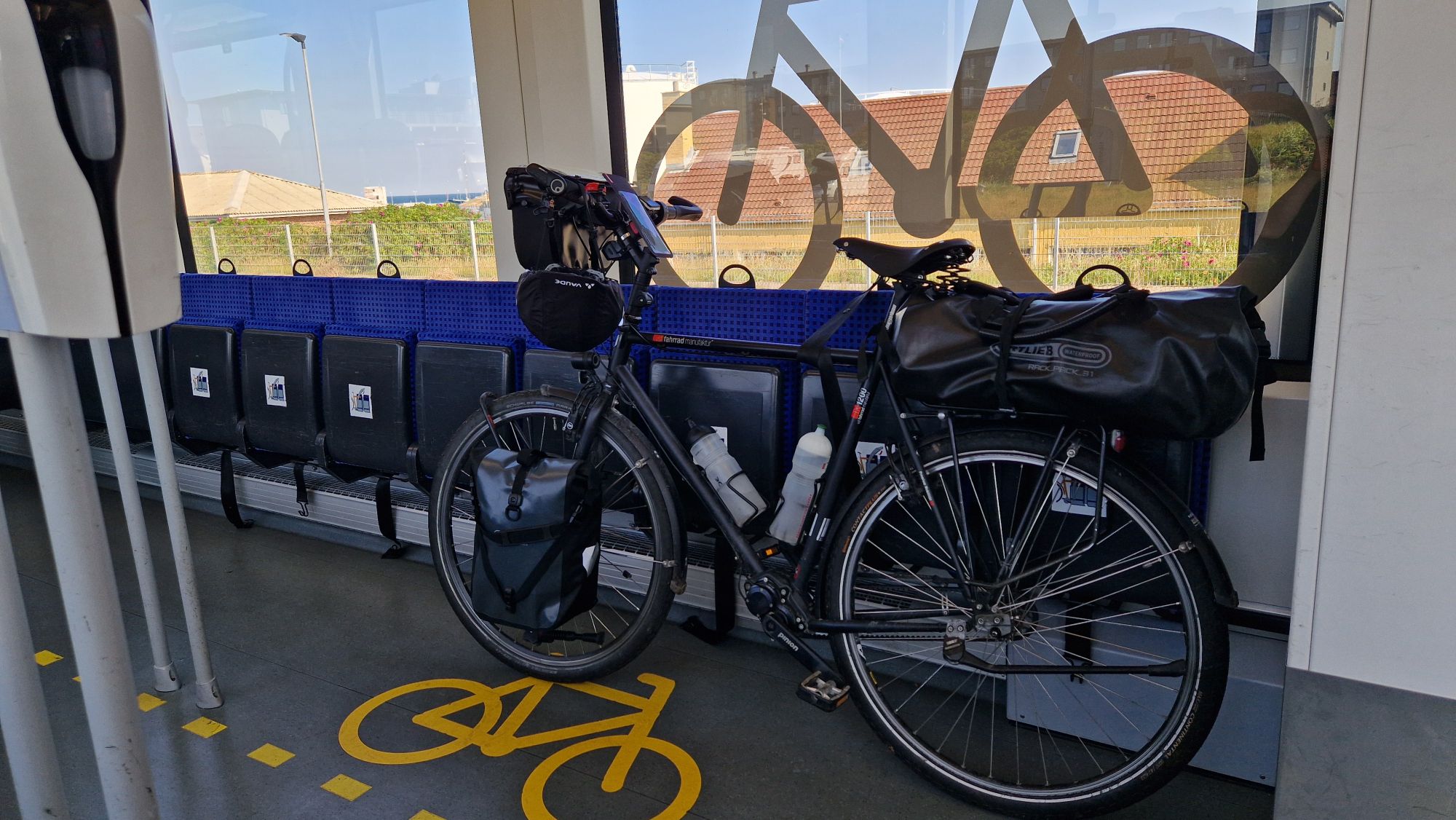
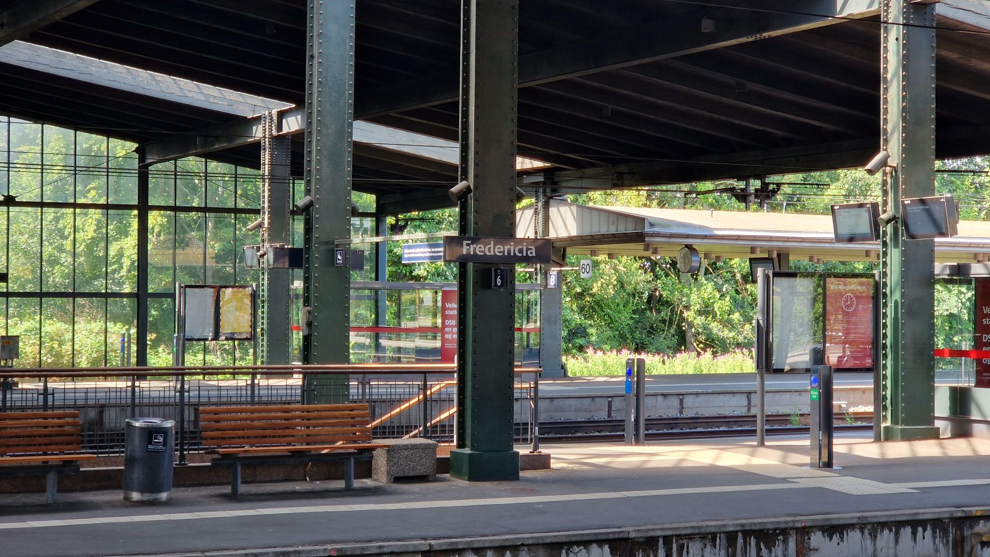
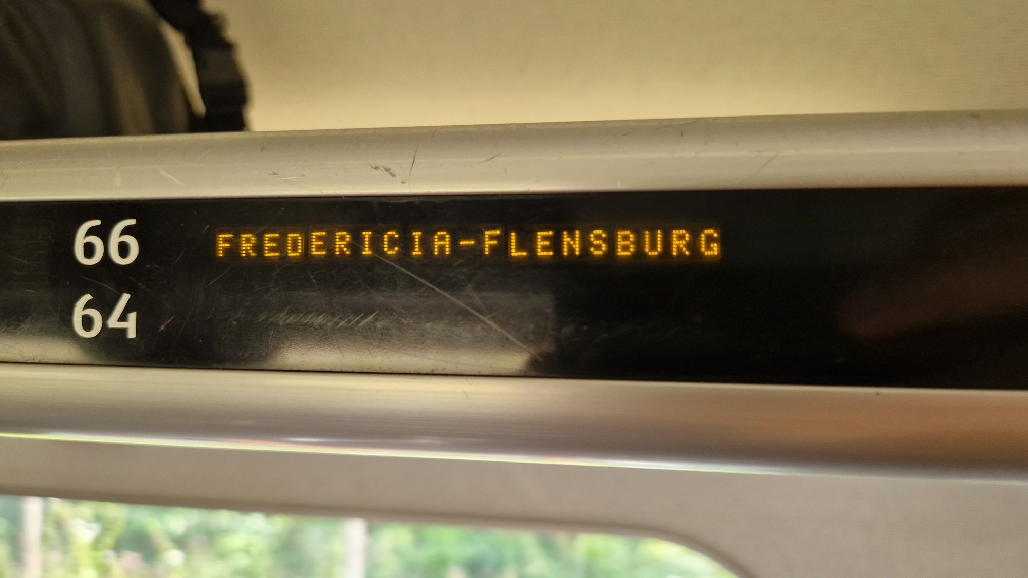
The travel back home continued via trains. I’ve chosen the route Hirtshals – Aalborg – Fredericia – Flensburg, which takes about 6 hours. The price was 416 DKK, which is about 56 EUR. Flensburg – Braunschweig takes another 6.5 hours by regional trains if the trains are on time (price around 50 EUR + 7 EUR for bike ticket). I’ve had some time to finish my blog entries while passing all the places from the Denmark 2025 Tour. It really felt like speedrunning Denmark. All Danish trains were on time and the train personnel was very friendly. The bicycle compartments were a little bit full with cyclist’s bikes and families with strollers. We managed the remaining space very well. I started in Hirtshals at 9:42am and arrived in Flensburg at 3:52pm.
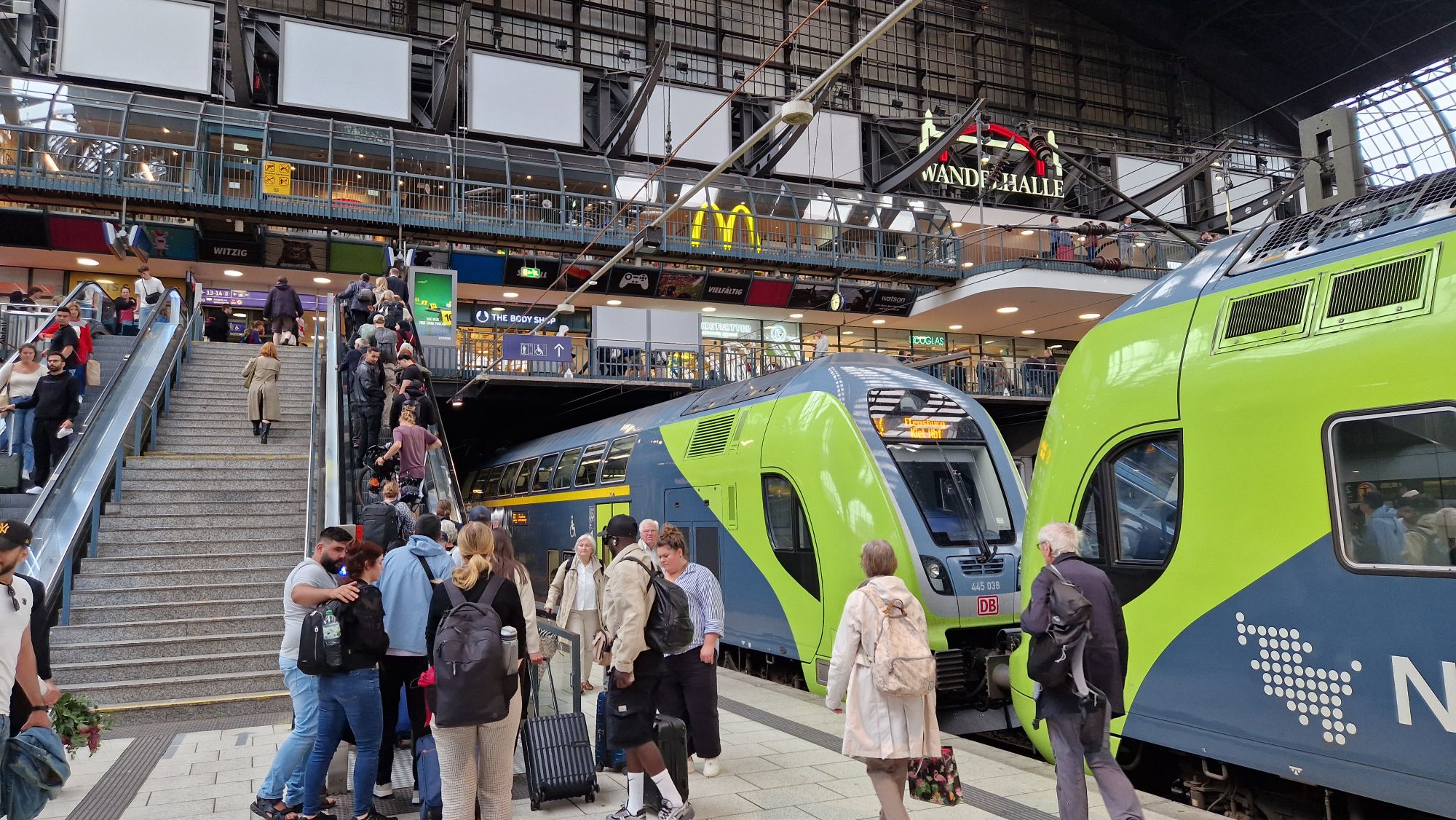
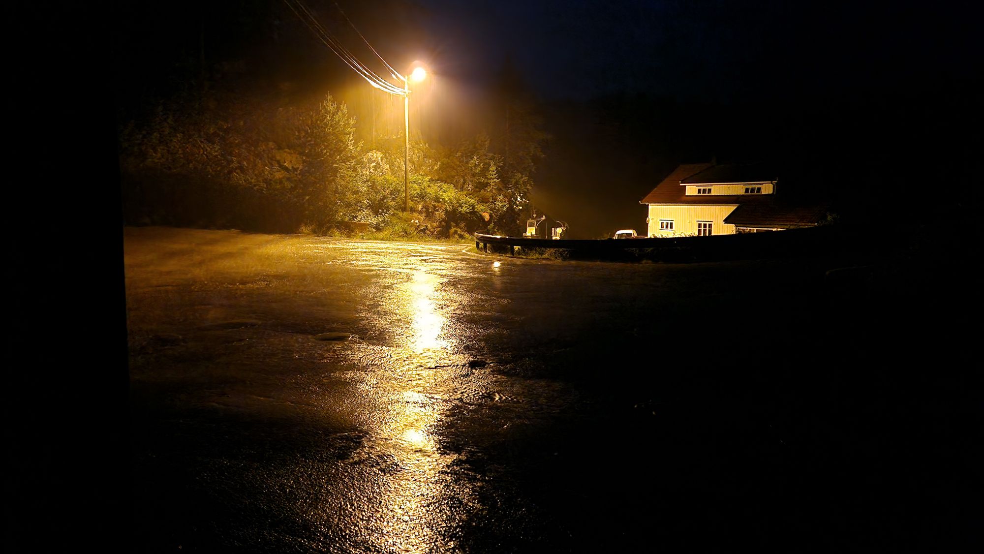
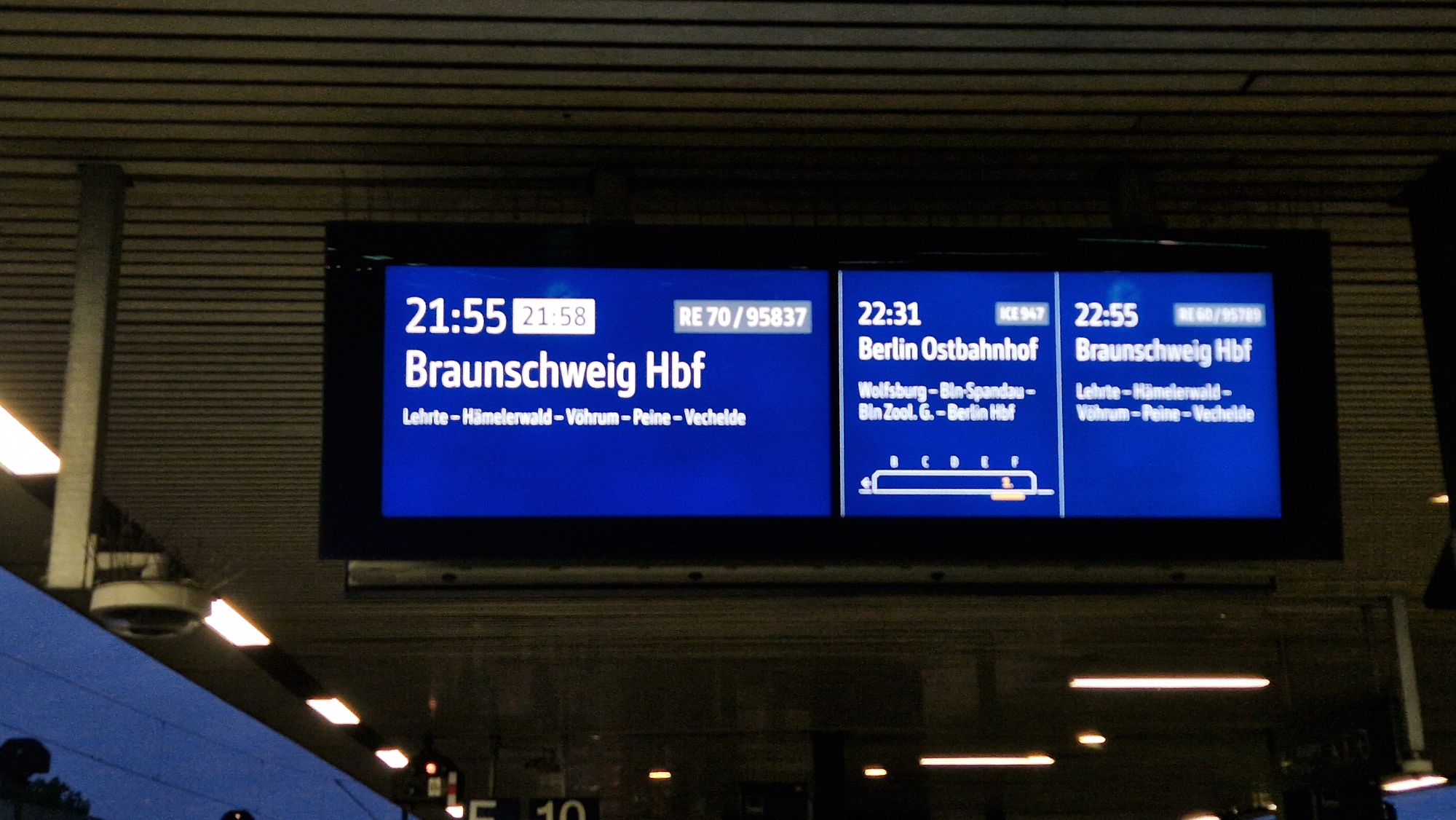
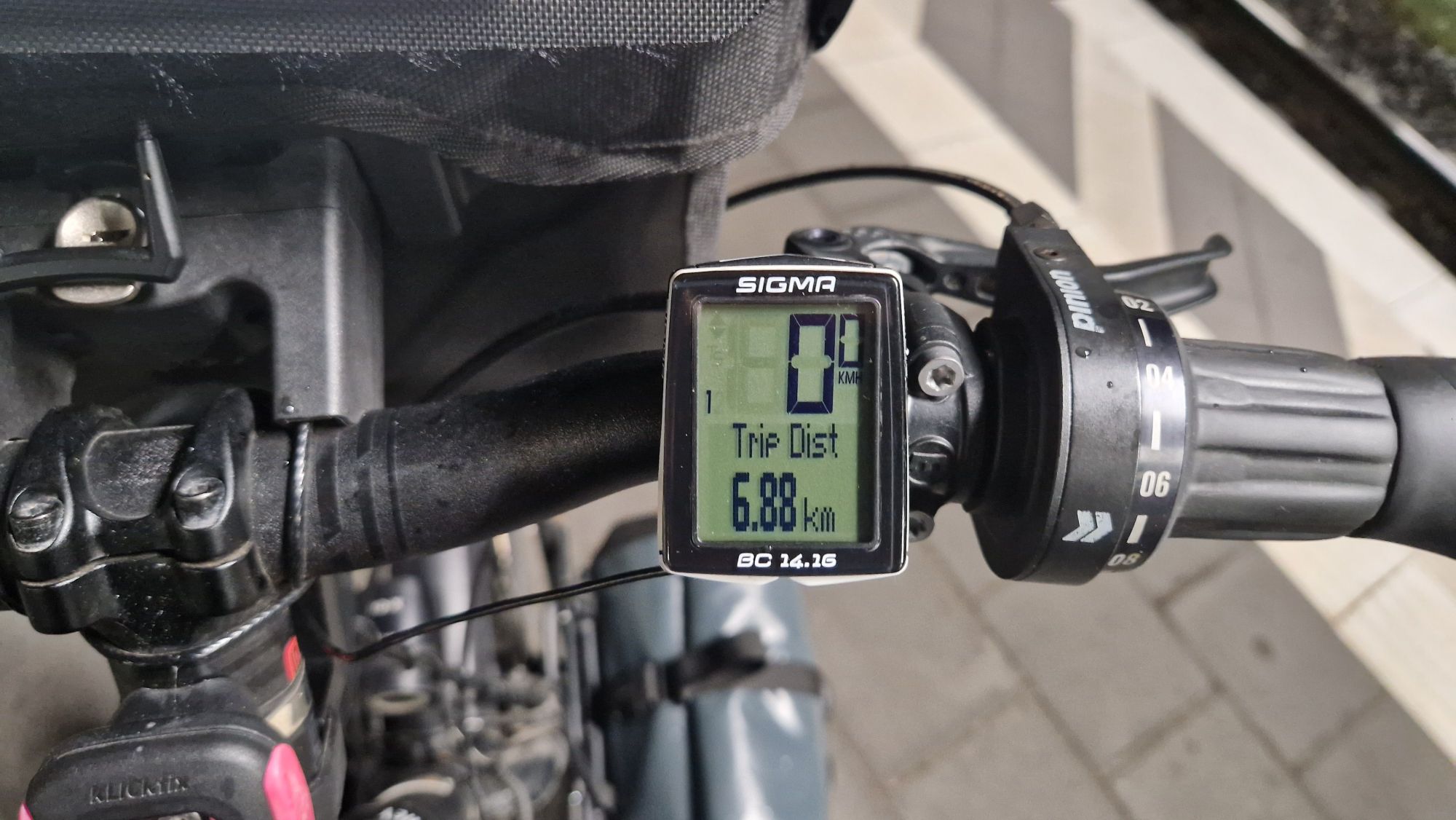
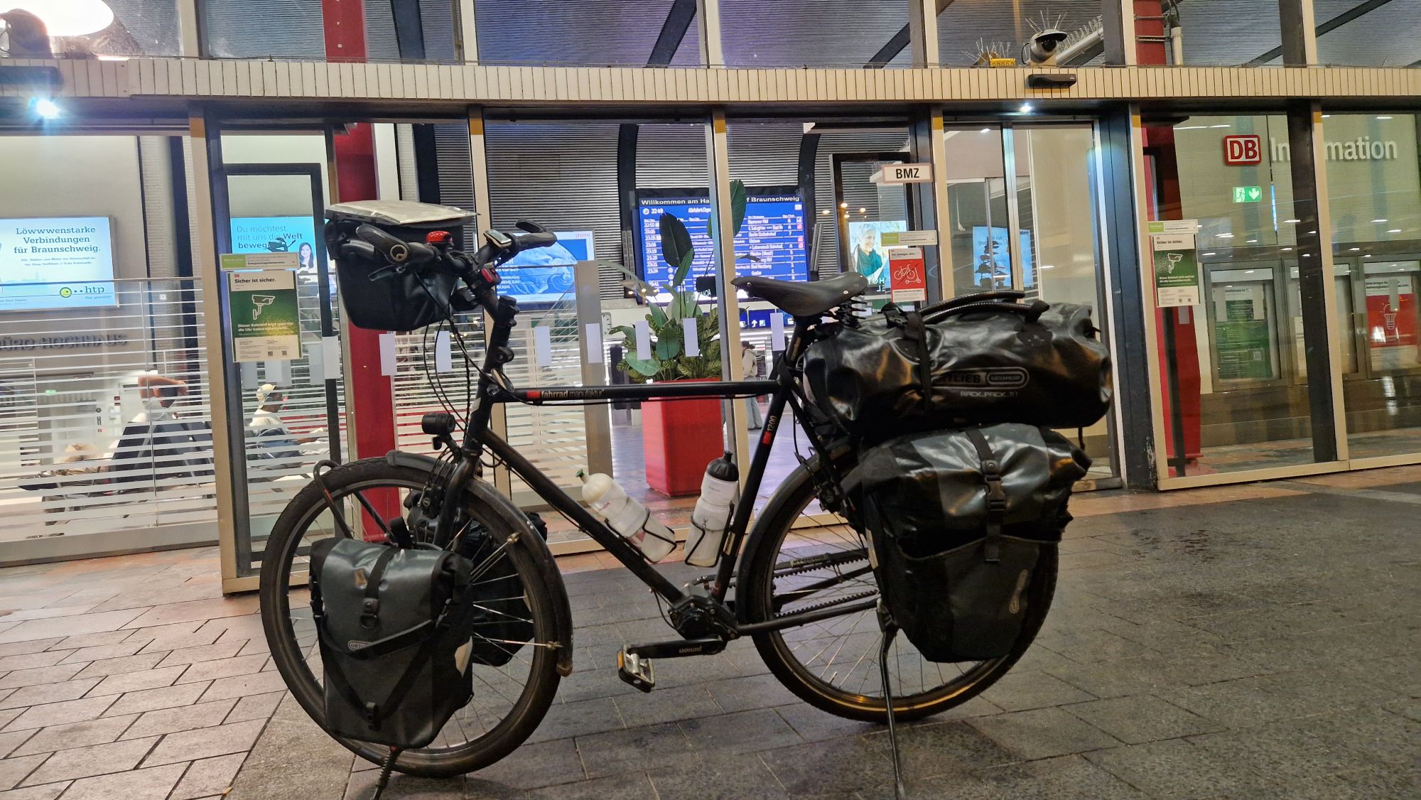
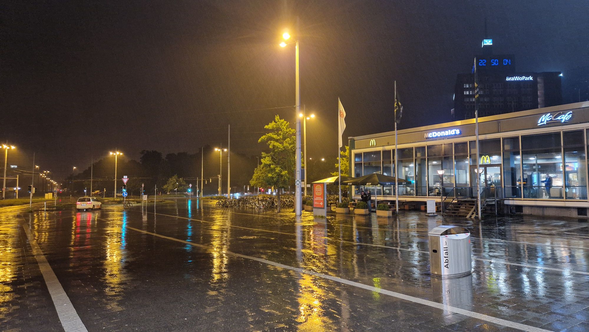
The remaining route from Flensburg to Braunschweig via Hamburg, Uelzen and Hannover was fine with few minor inconveniences. I arrived in Braunschweig at 10:40pm and cycled a bit back home in bad weather and heavy rain.
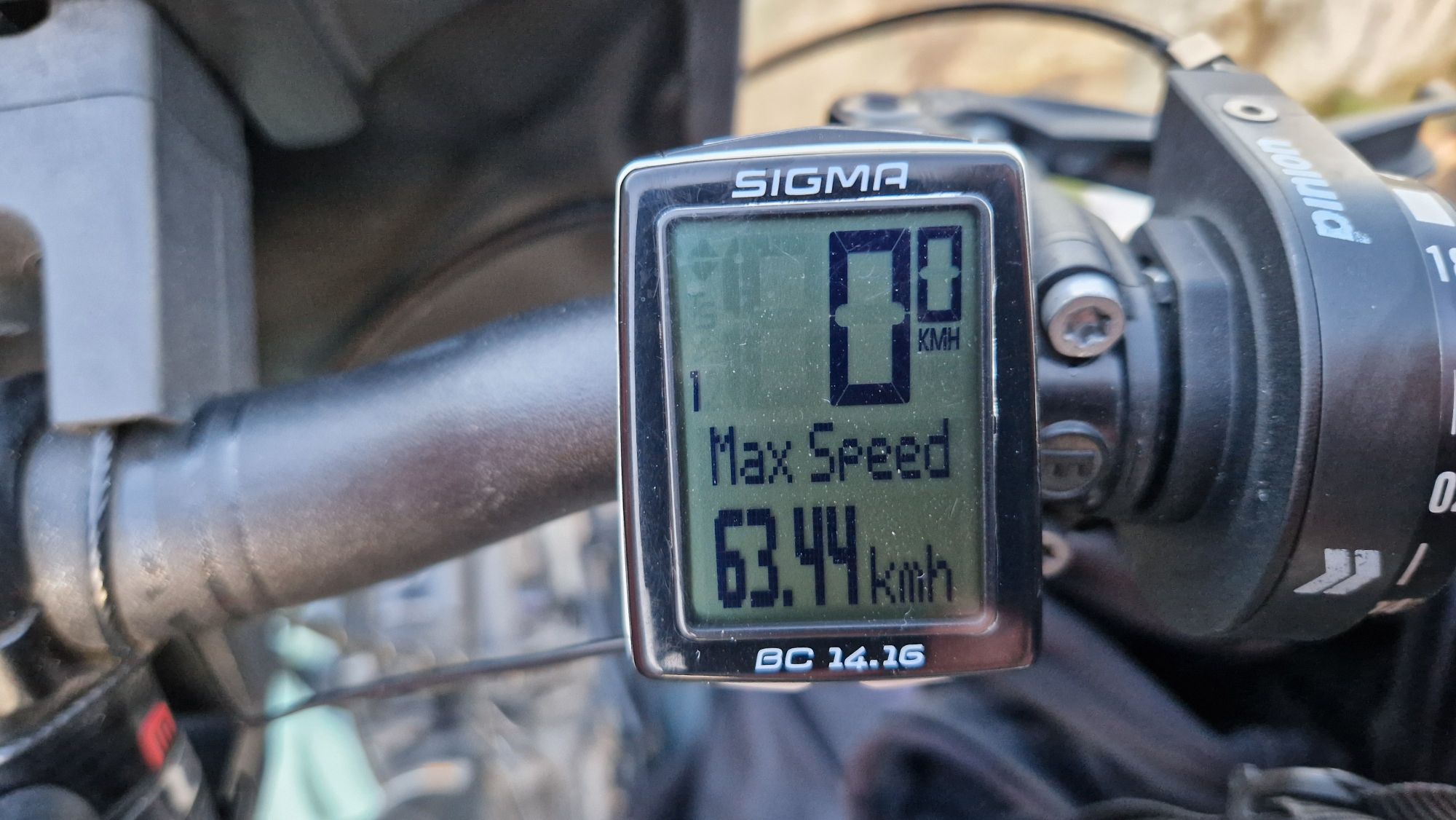
So there you have it: I traveled back home from Bergen back to Braunschweig in only 33 hours (18h by ferry, 15h by trains). The total price was around 350 EUR. The price and travel time can vary, depending on various factors.
Bergen – Braunschweig Read More »