2025 Bike Touring in Sweden and Norway – Summary and Final Thoughts
My vacation has come to the end and I arrived safe and sound back home in Braunschweig, Germany. Everything went well and it’s time to reflect the past four weeks and draw an outline for the bike tour in summer 2026.
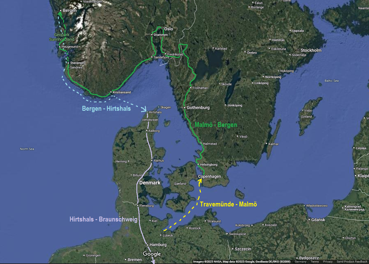
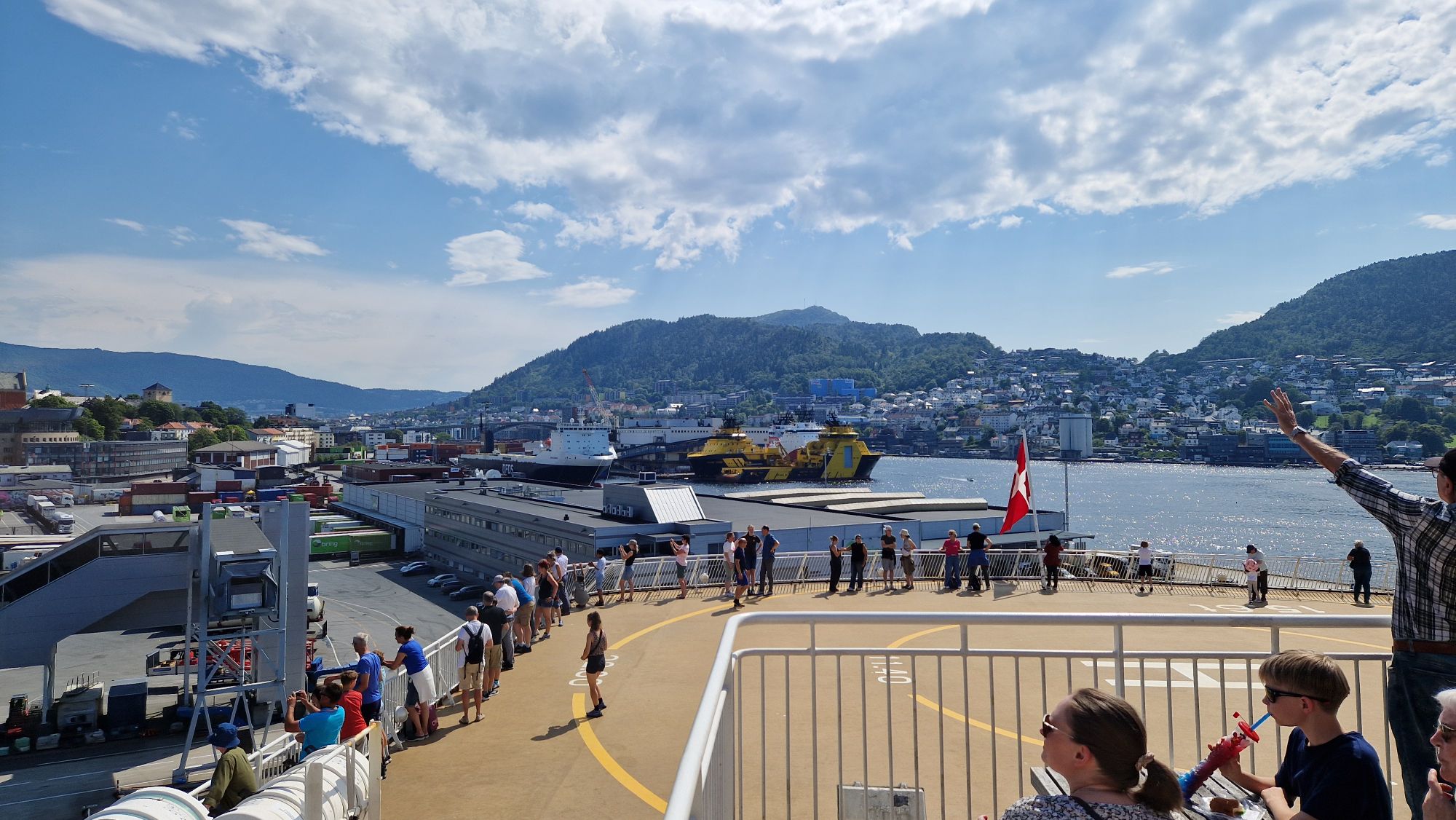
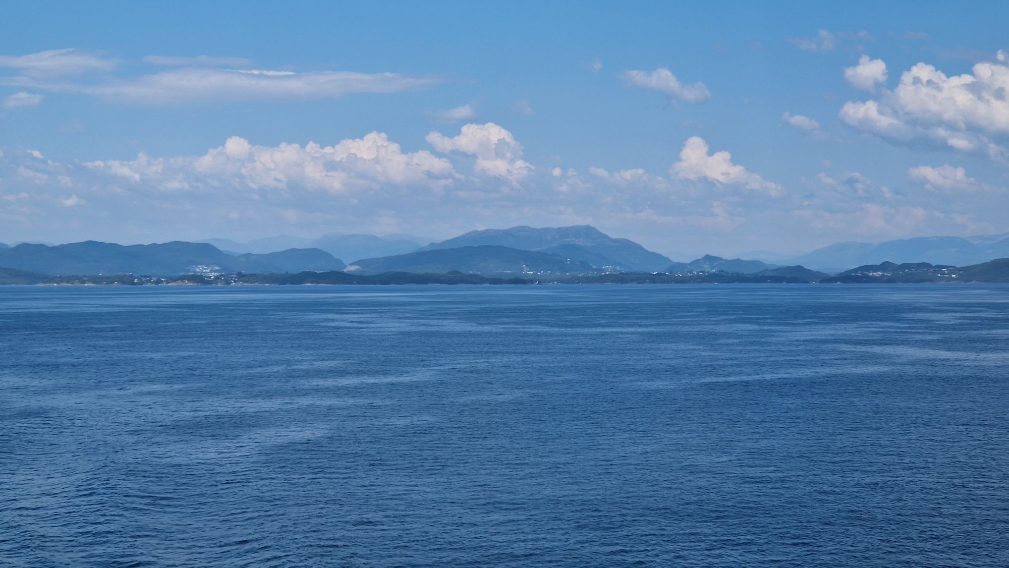
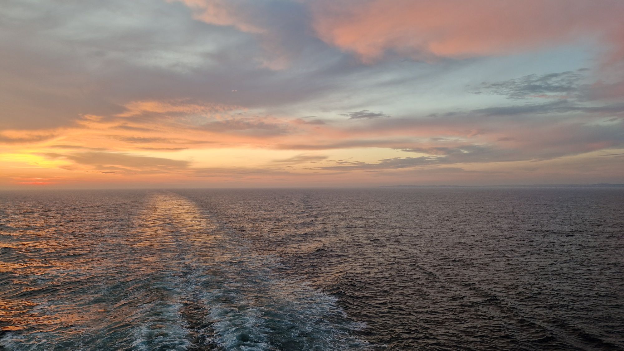
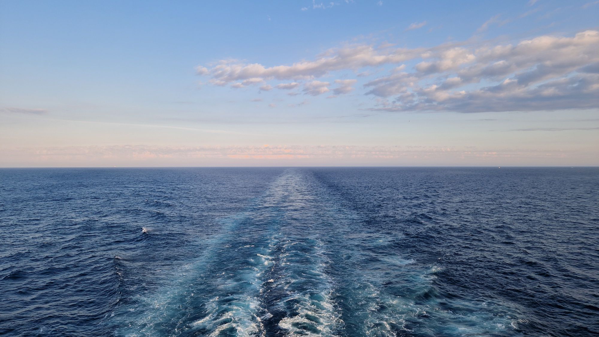
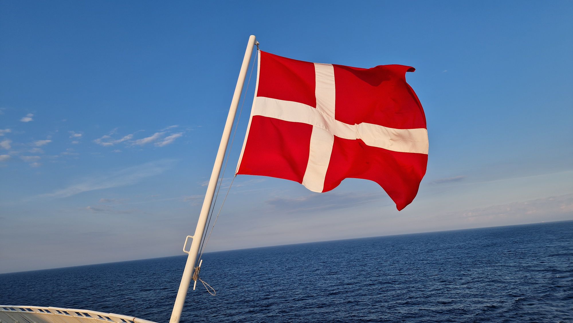
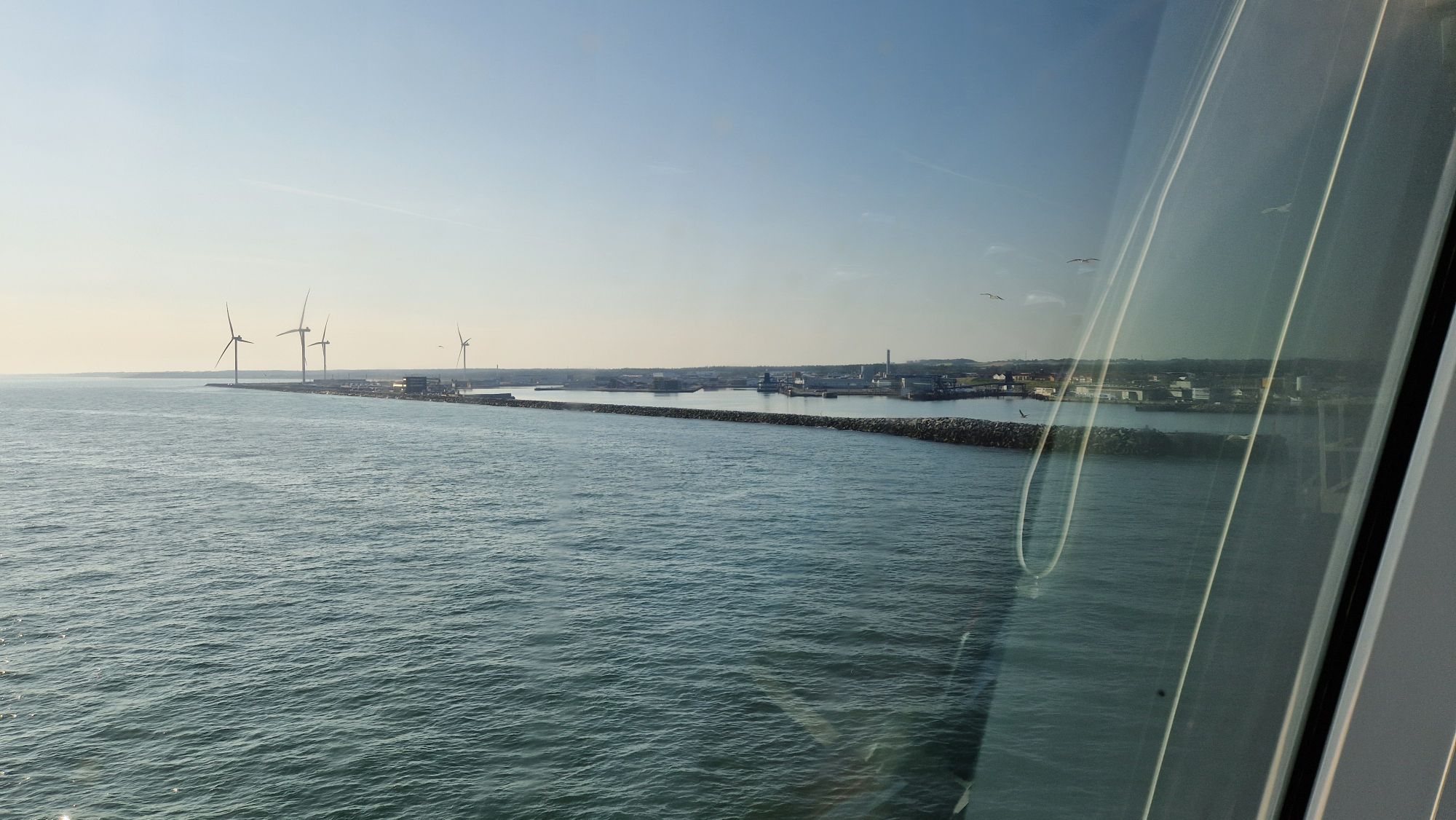
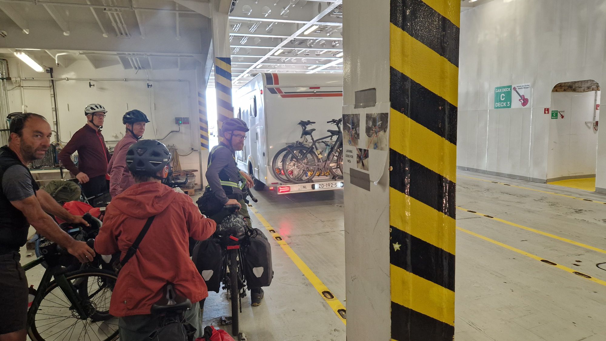
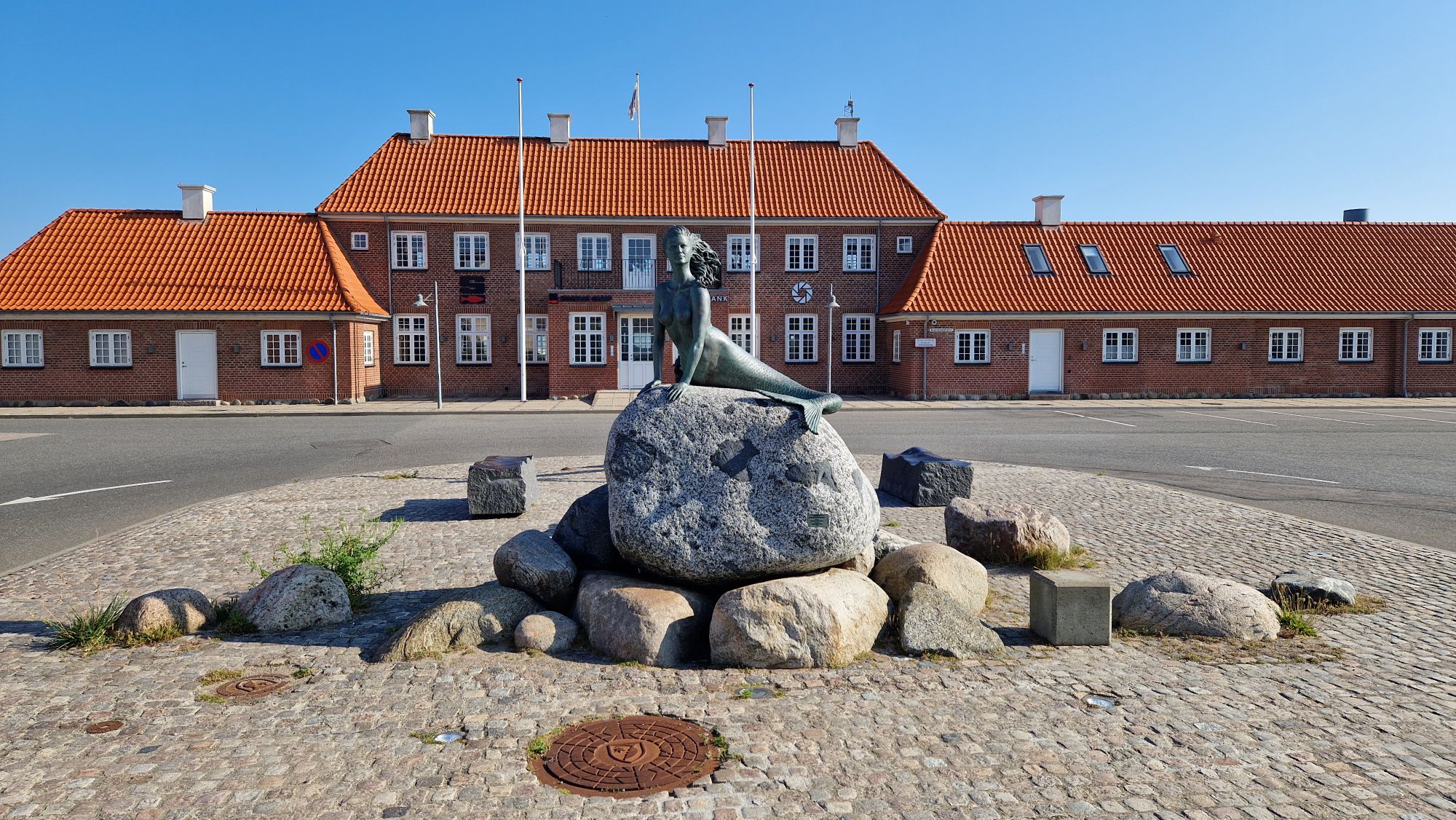
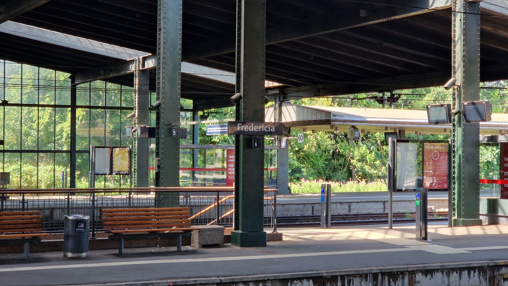
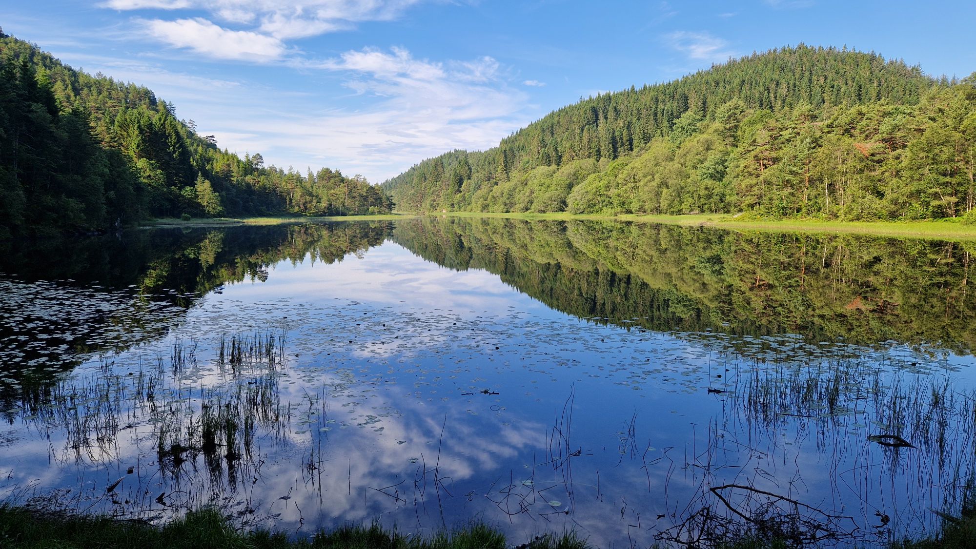
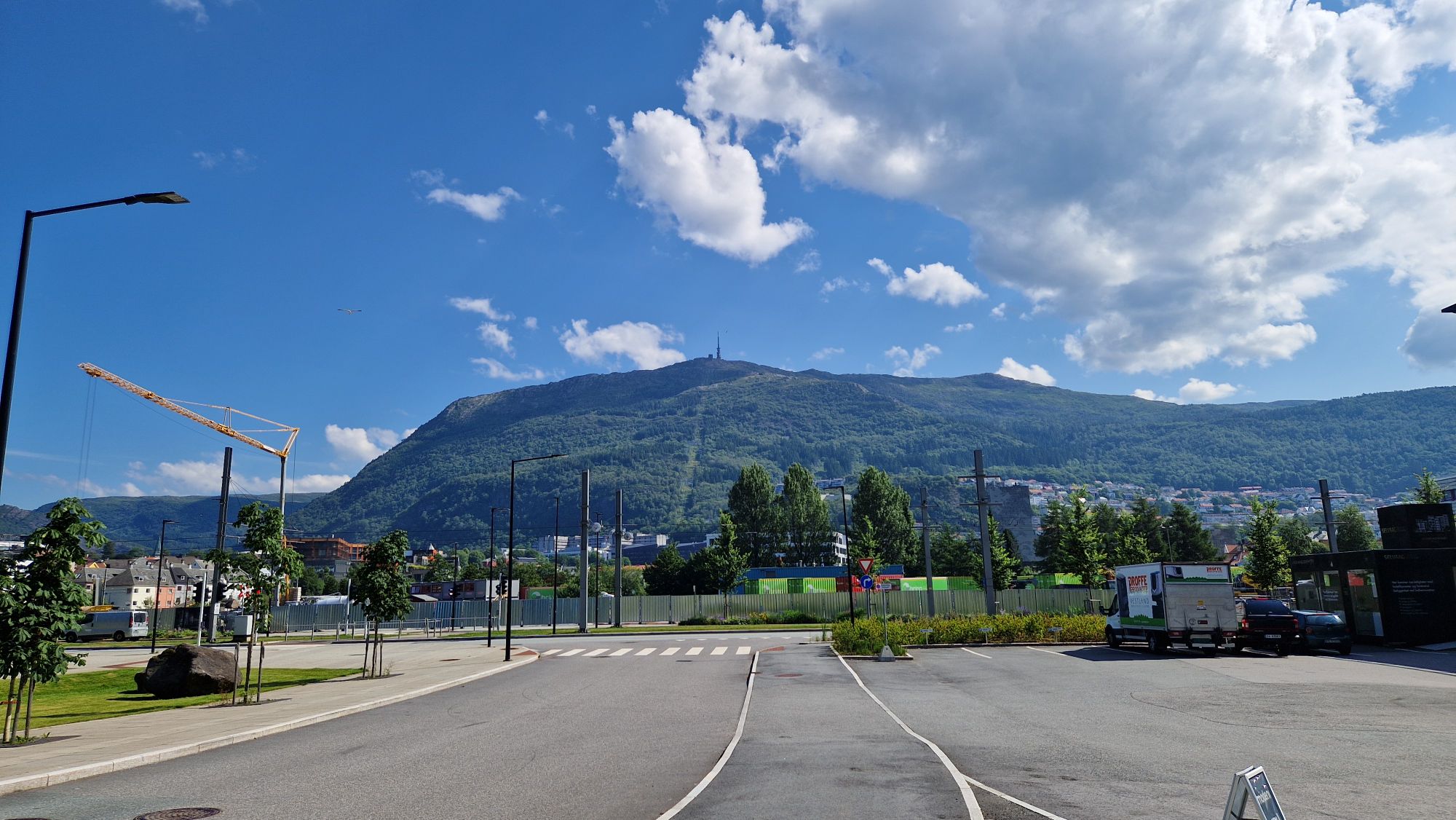
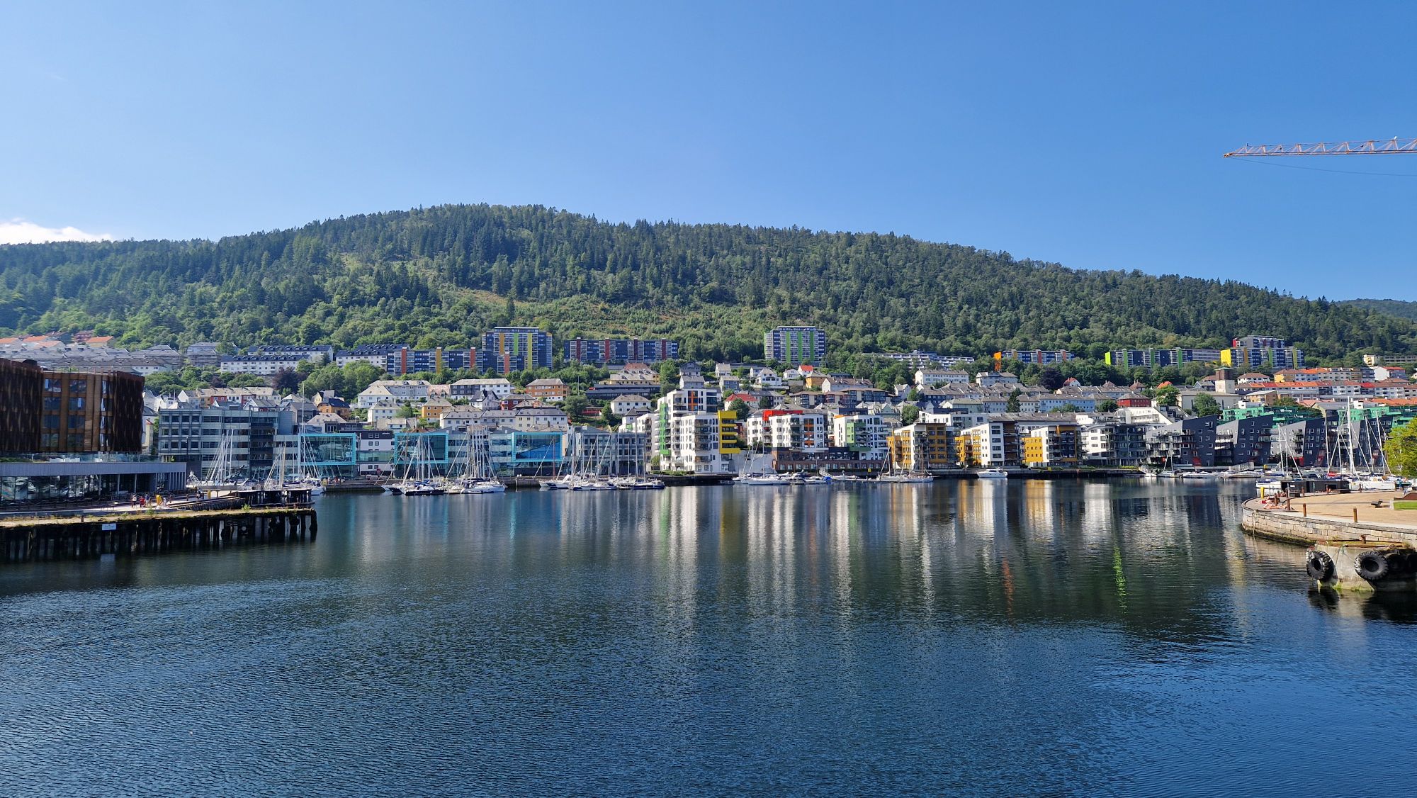
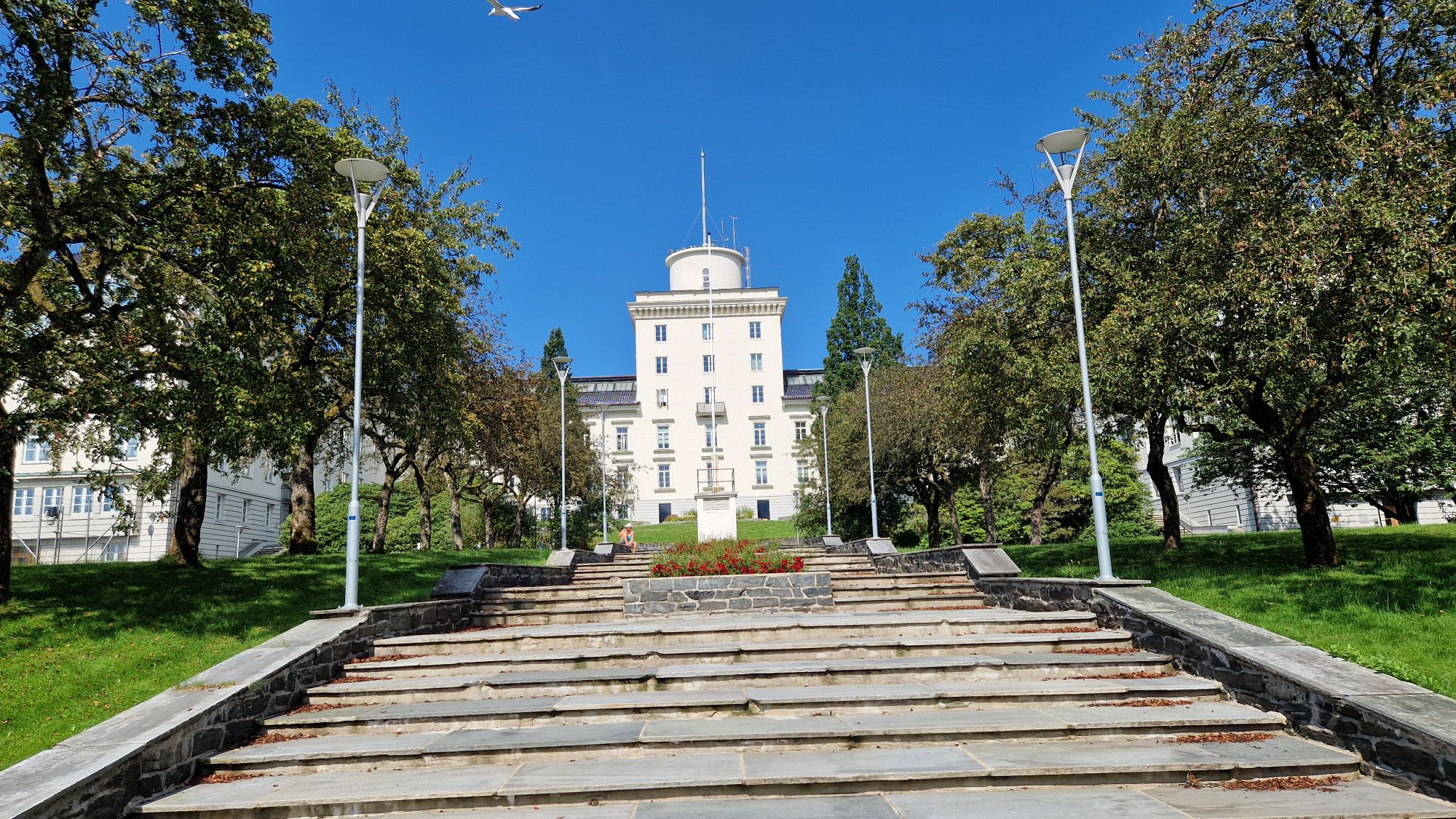
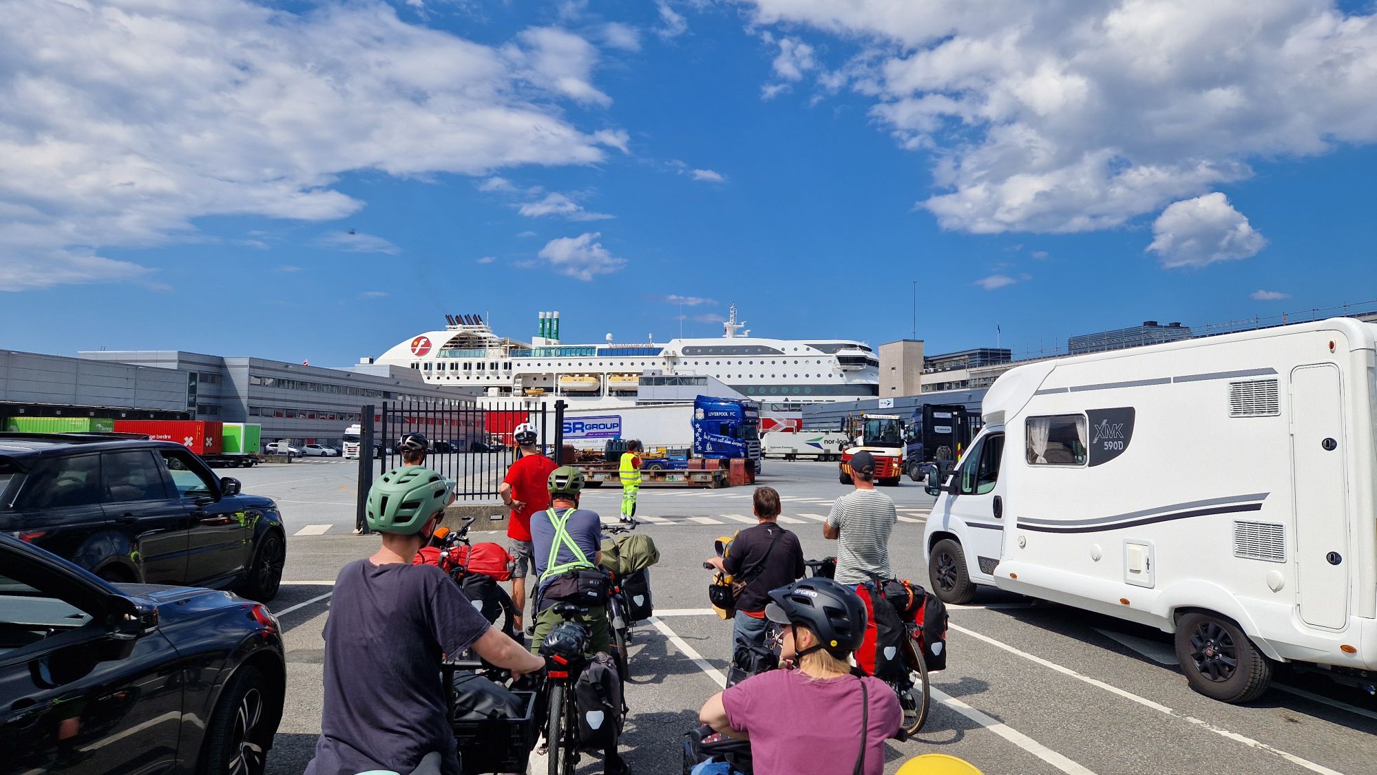
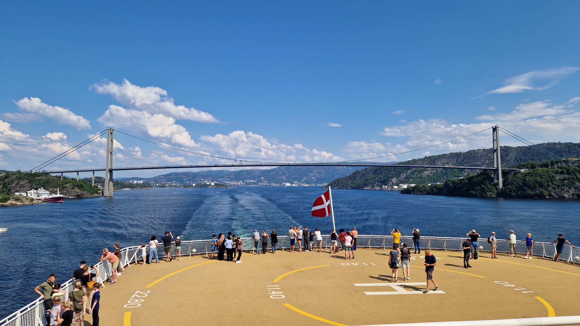
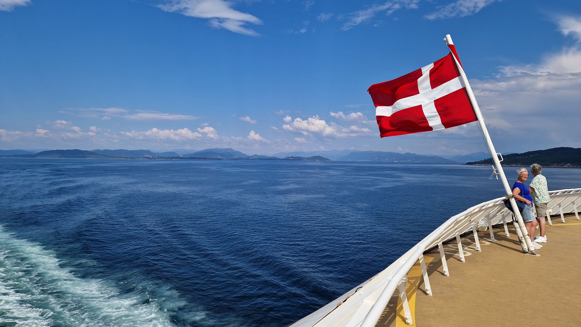
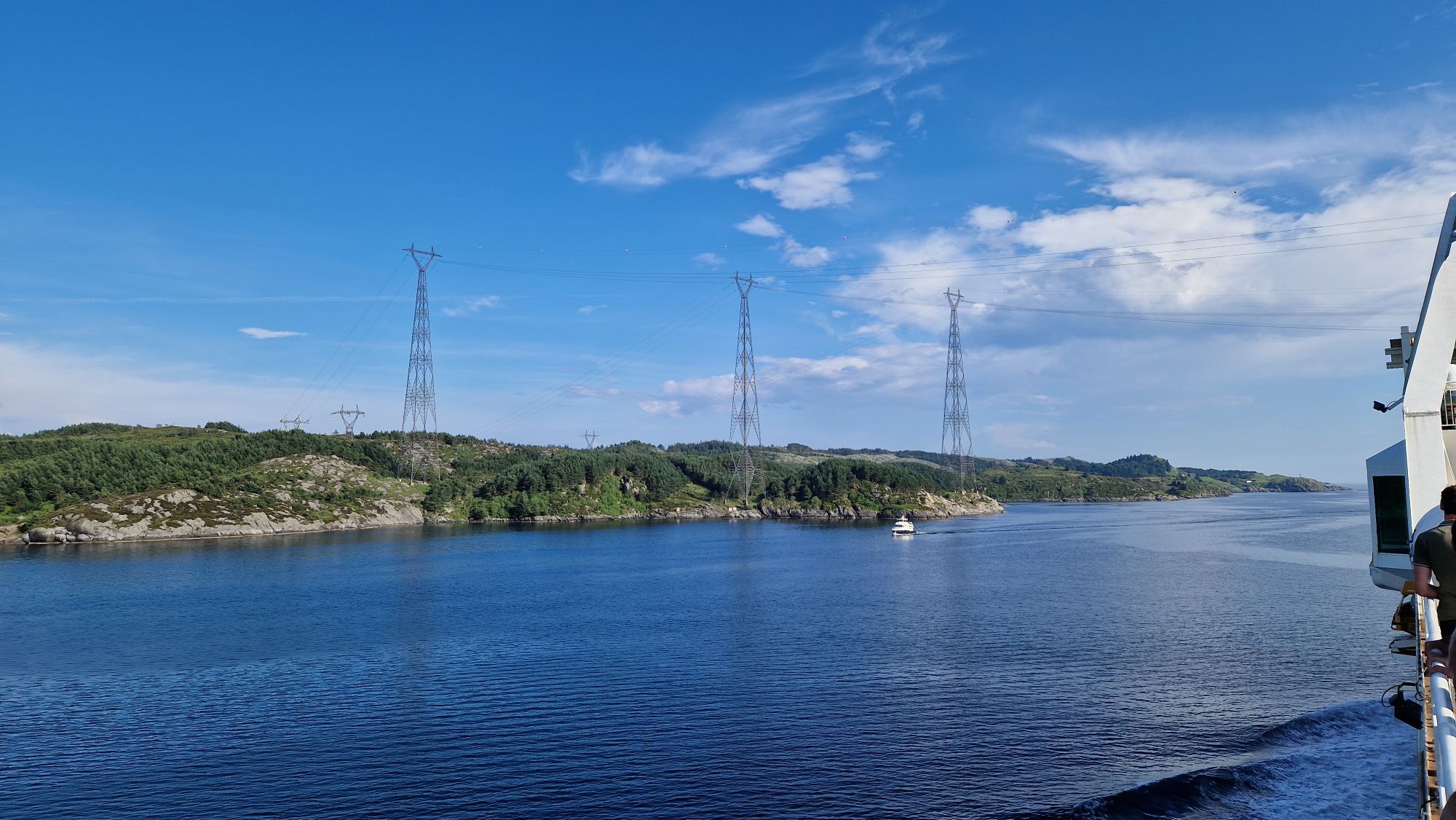
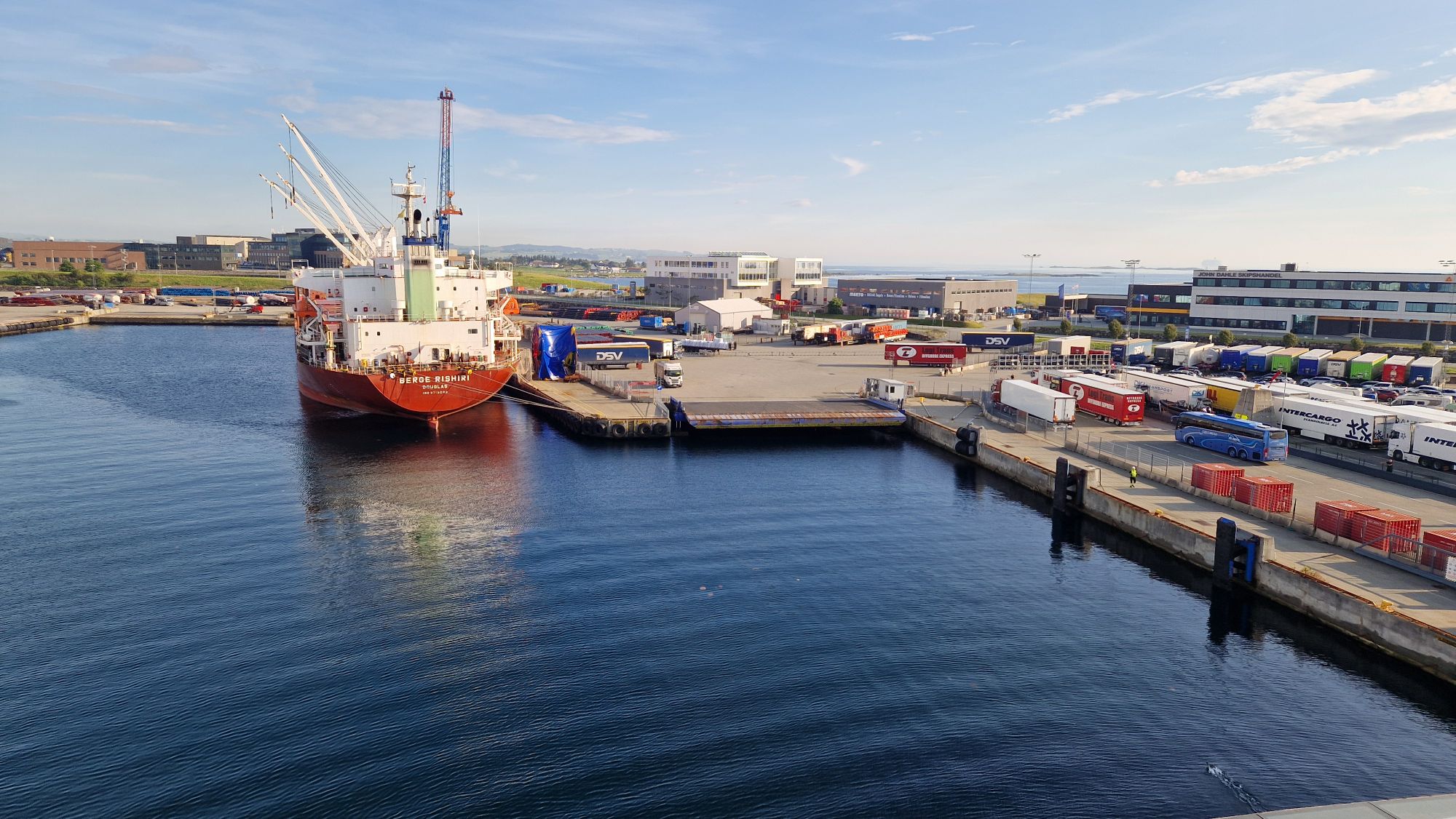
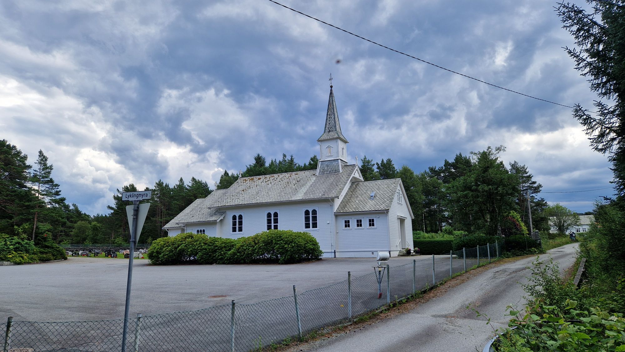
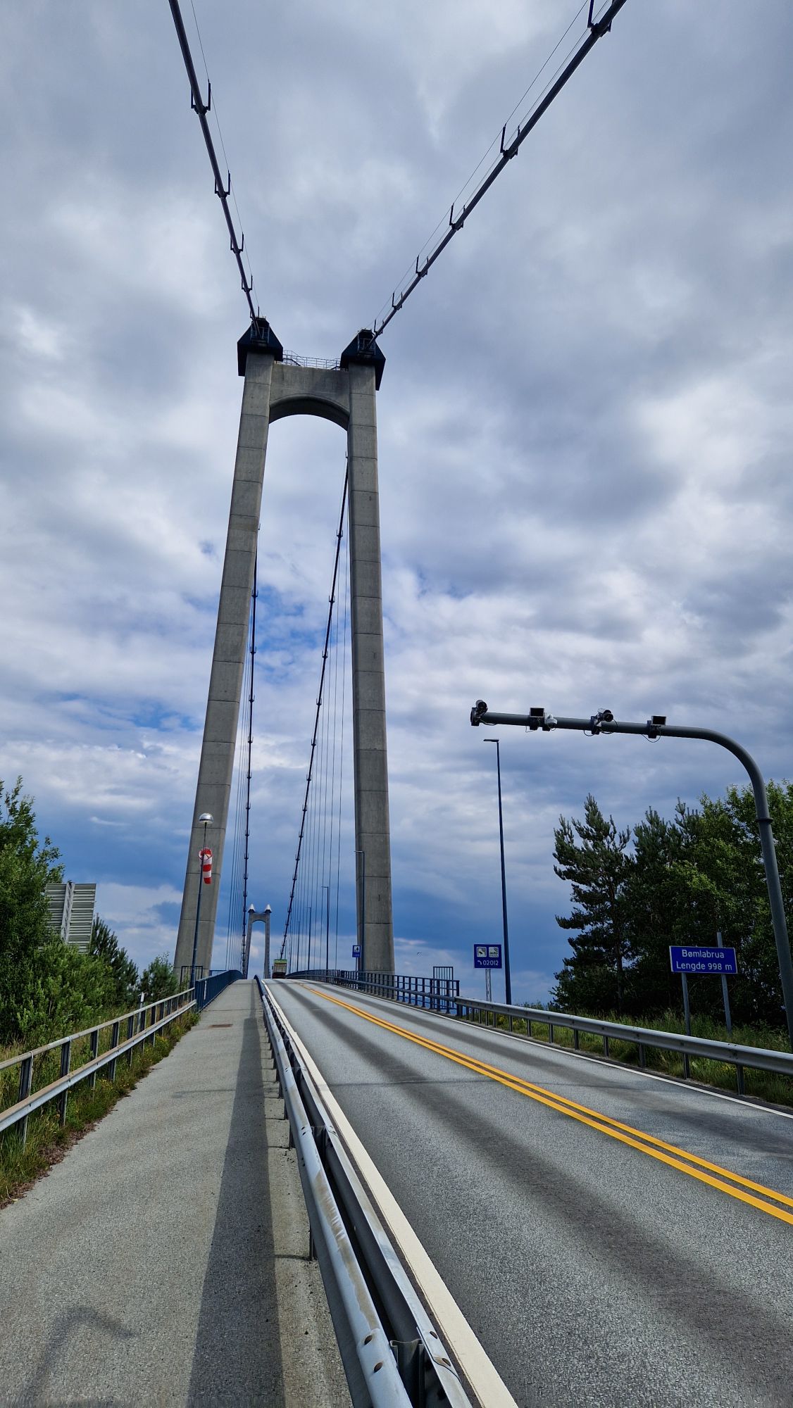
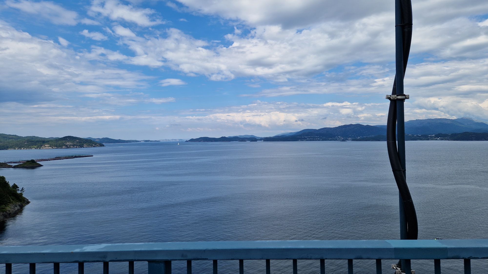
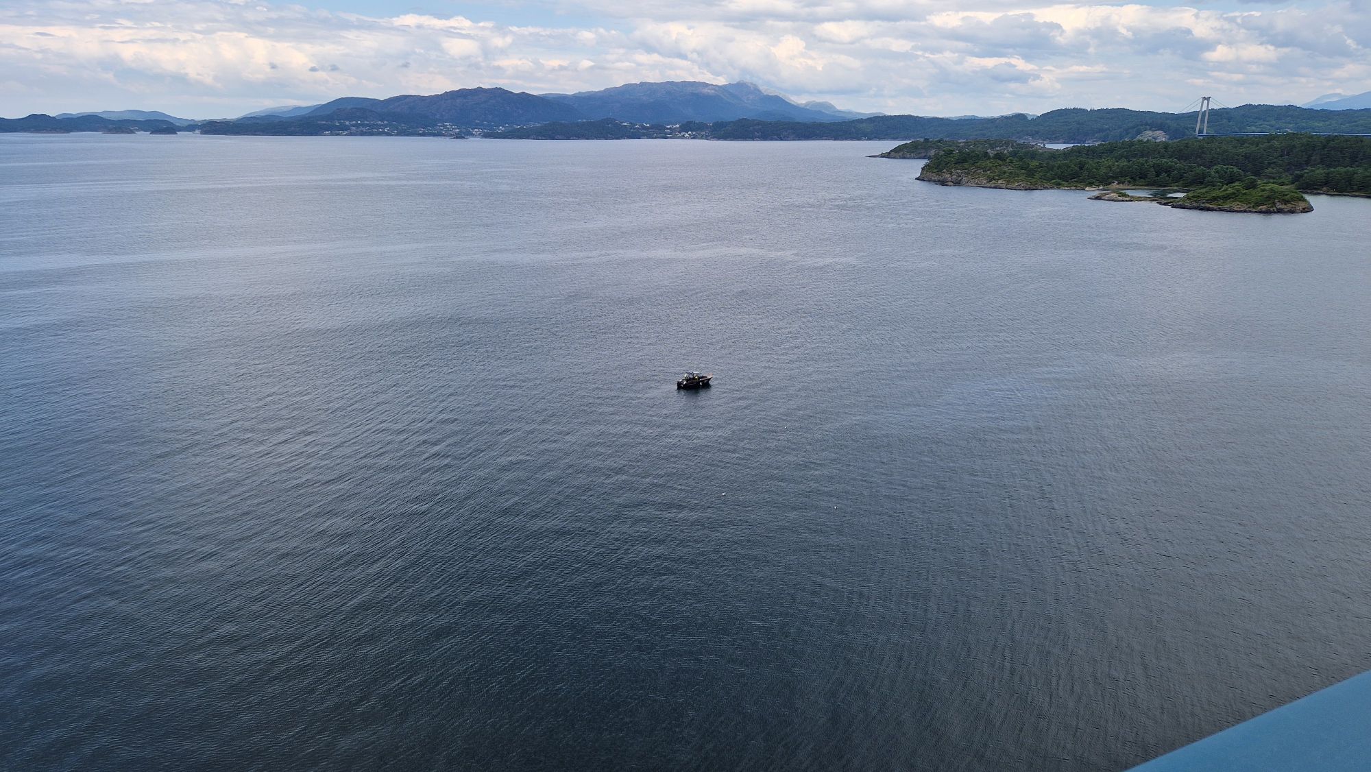
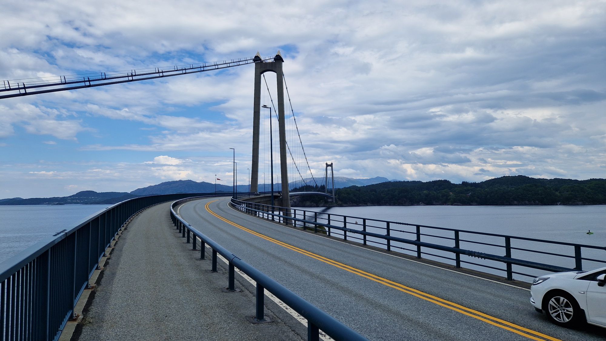
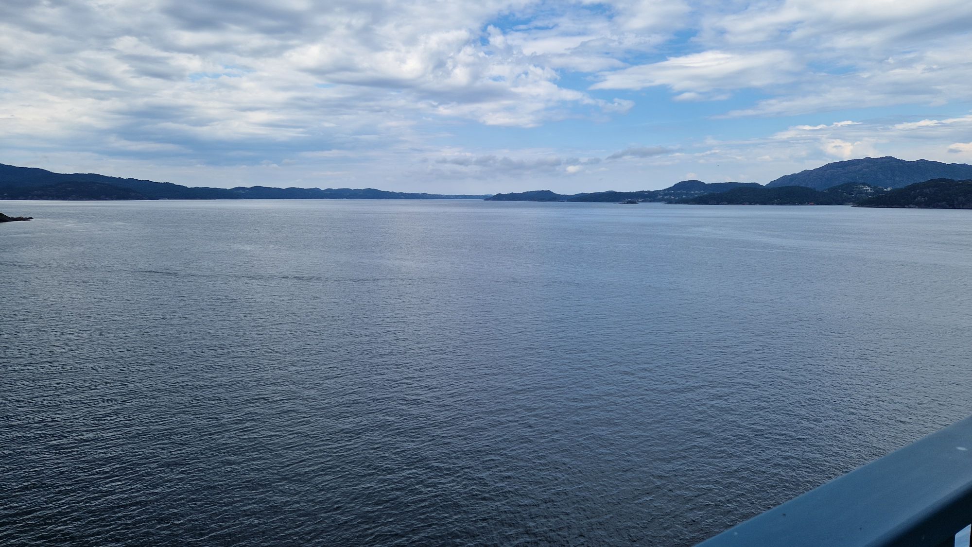
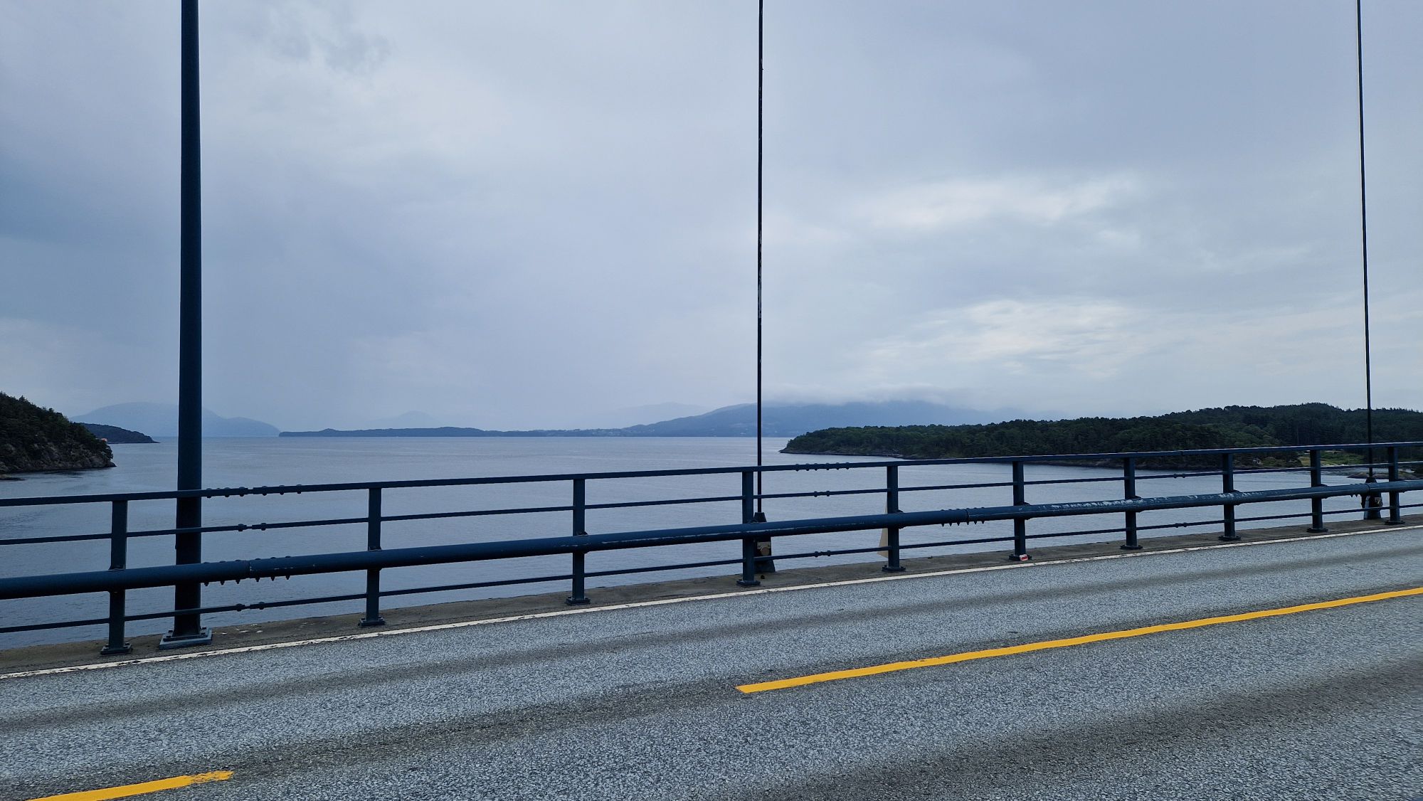
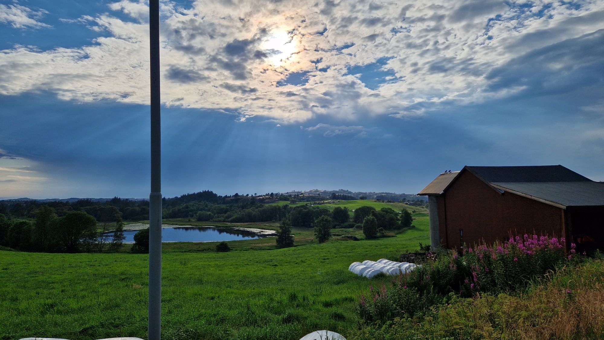
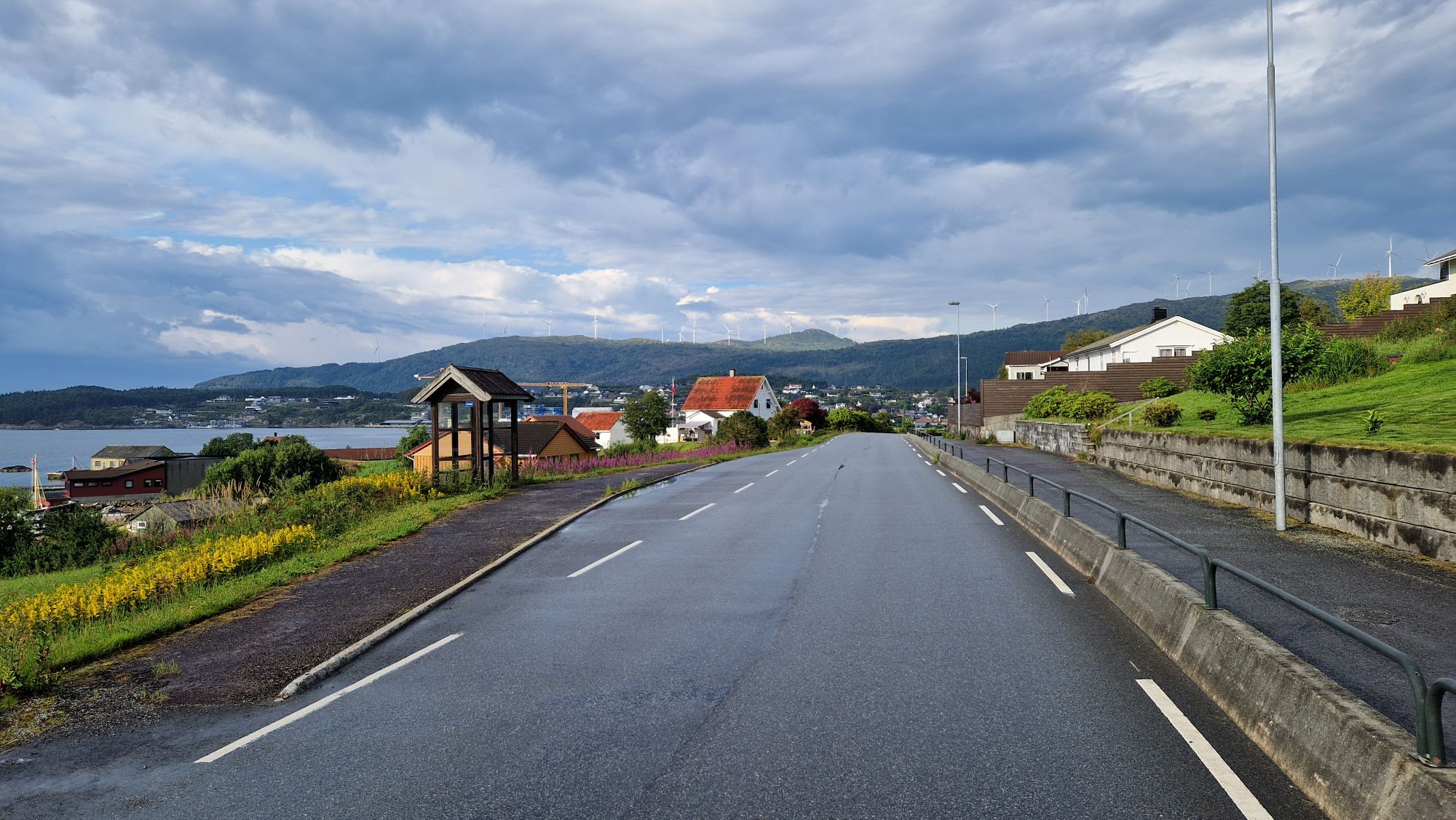
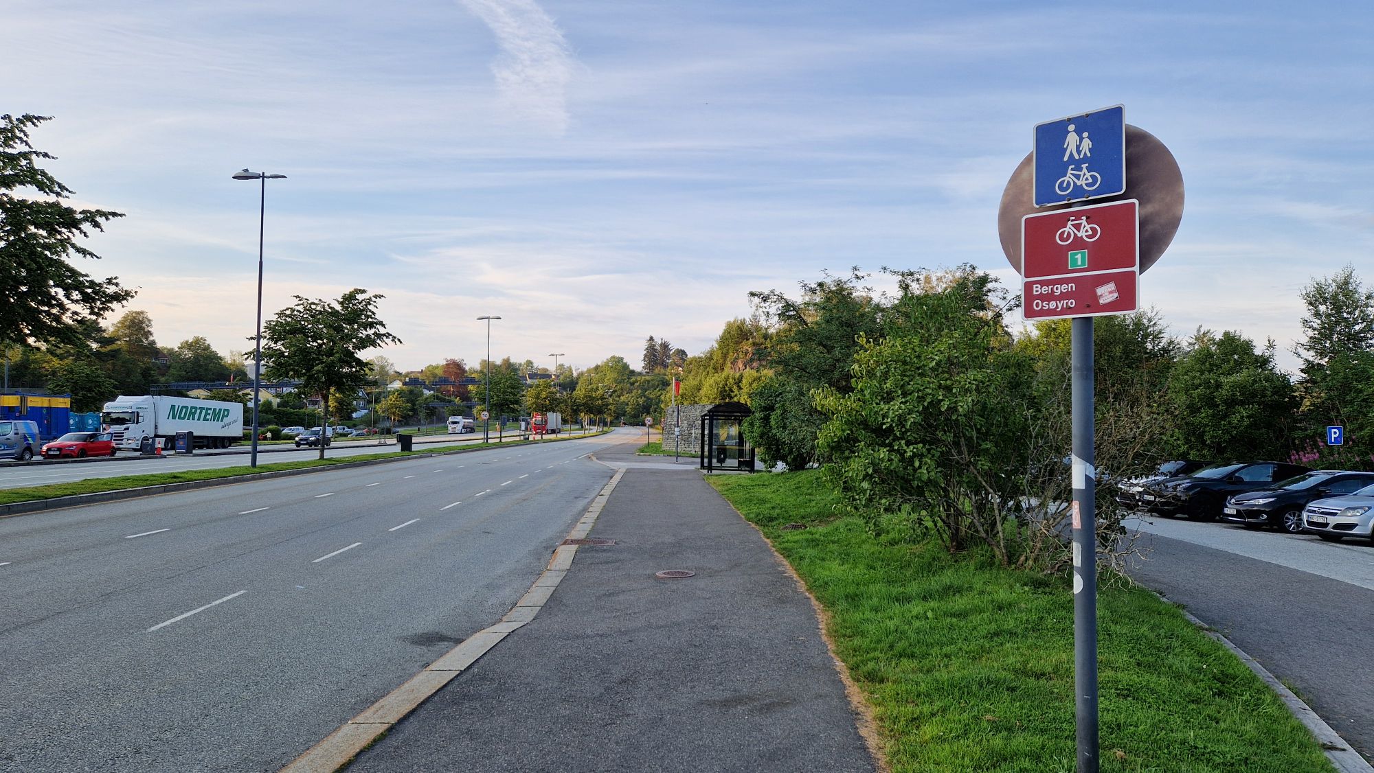
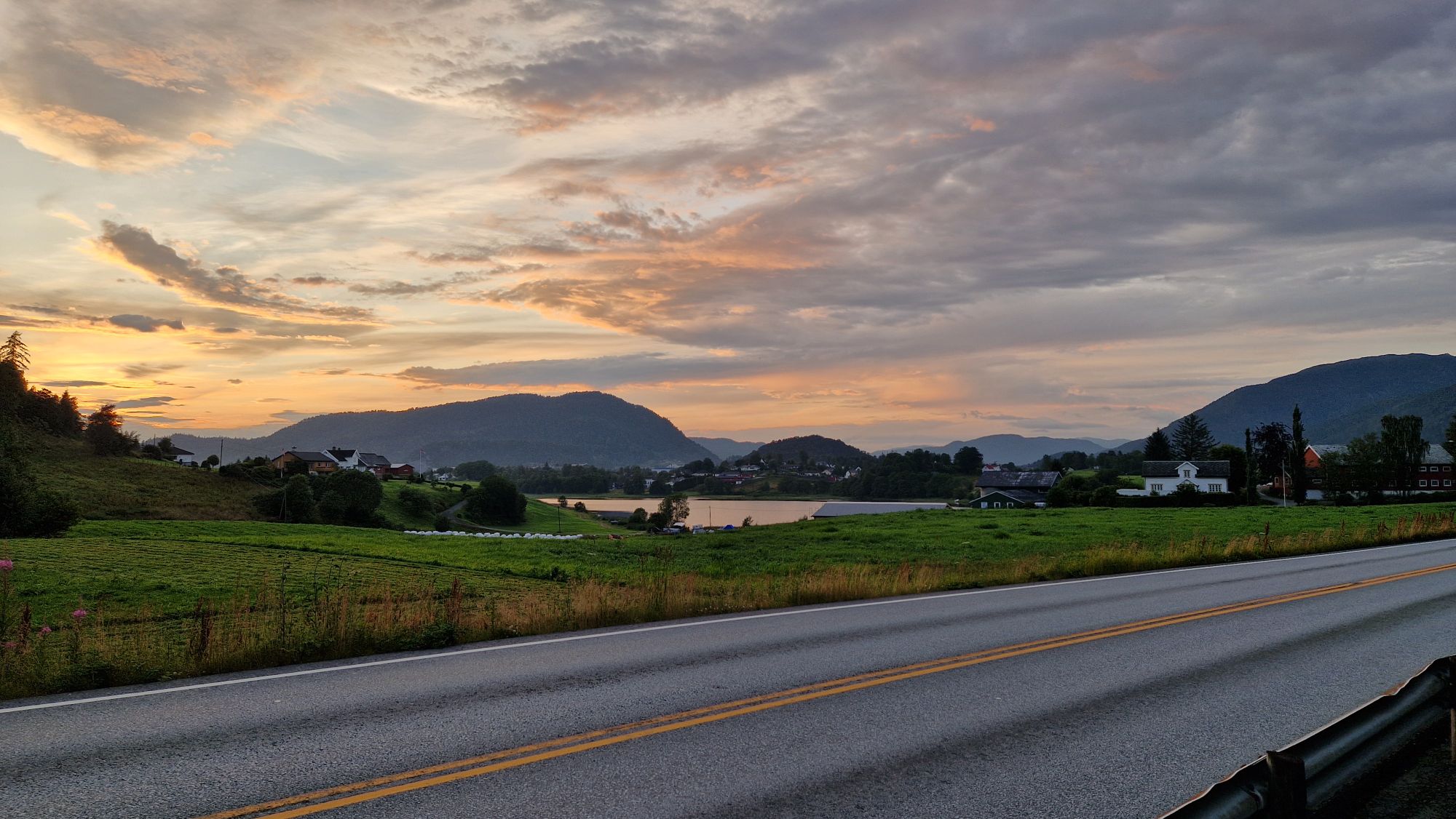
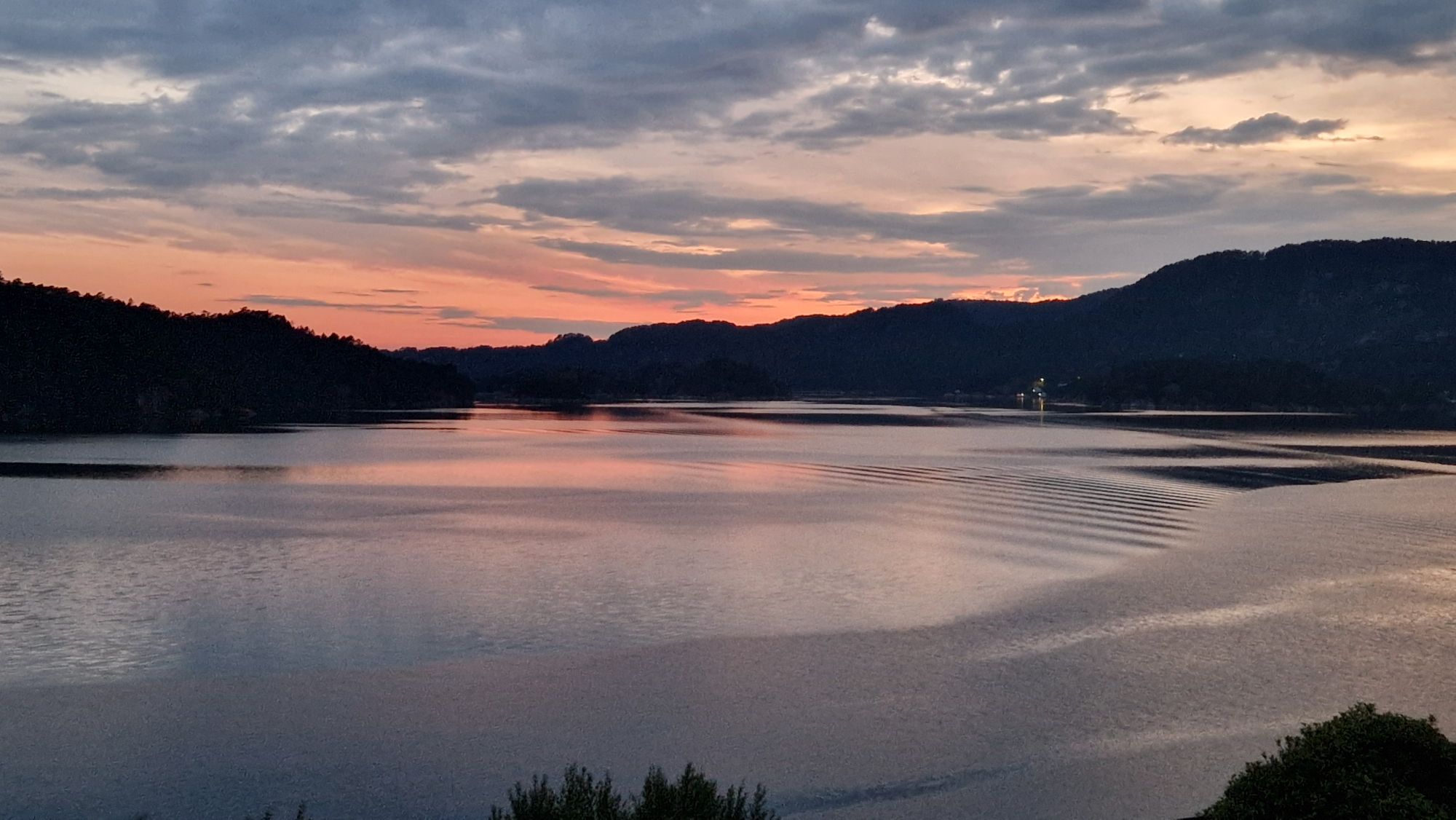
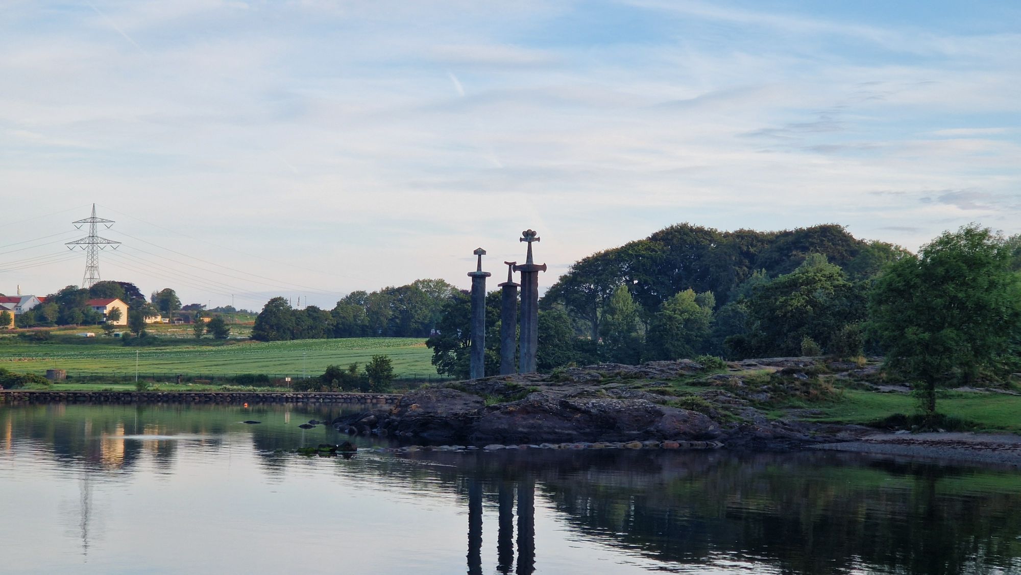
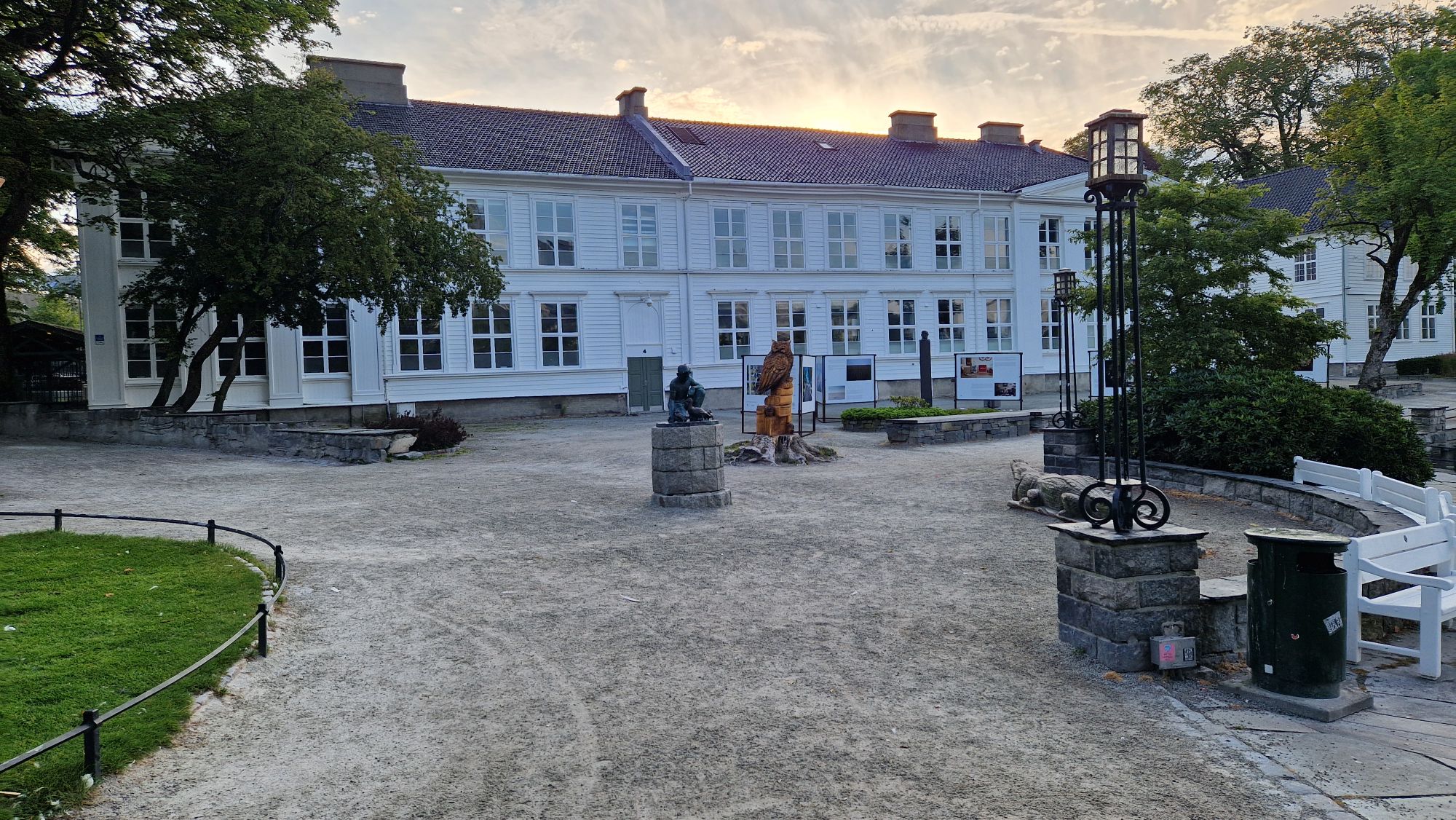
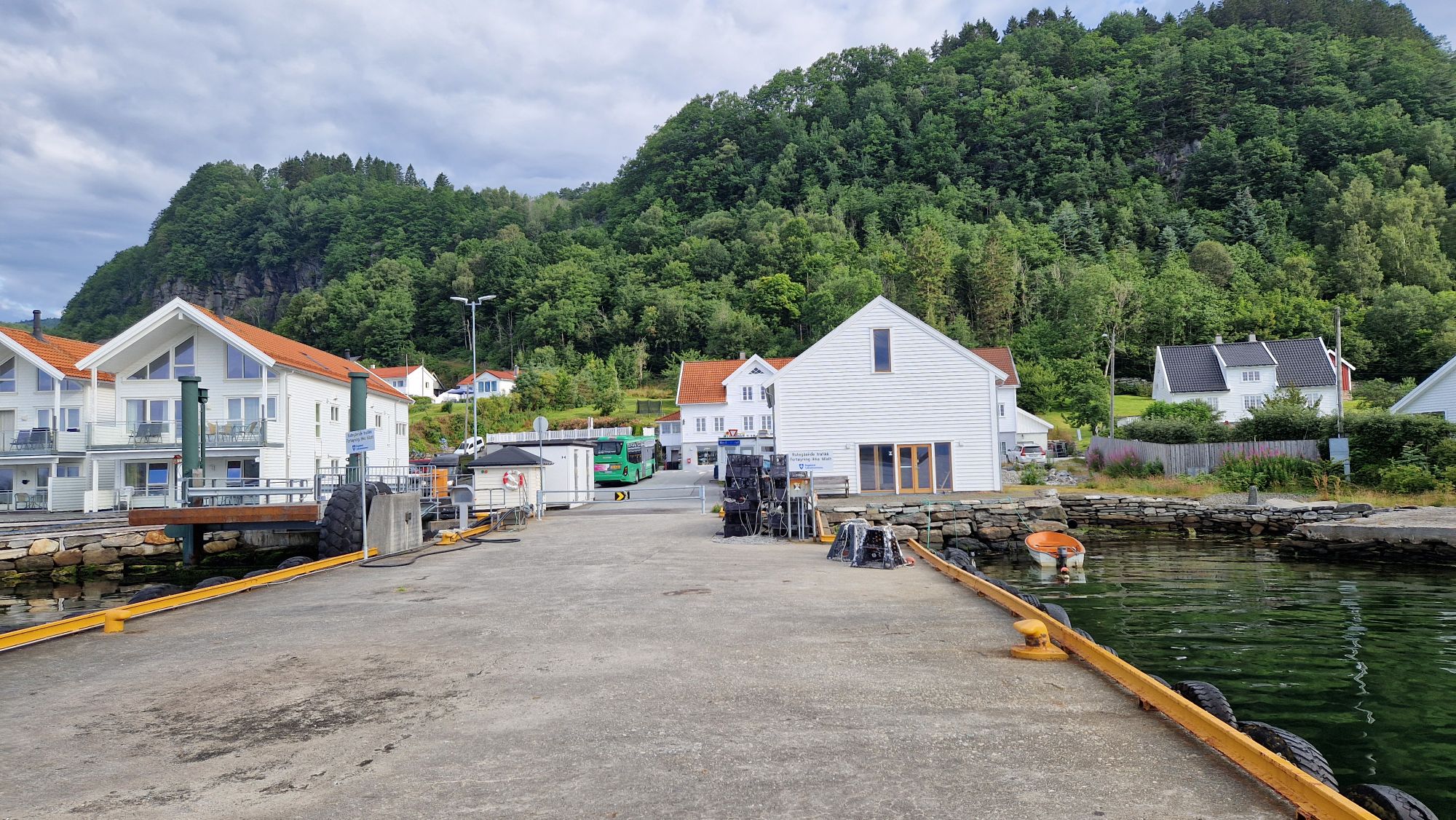
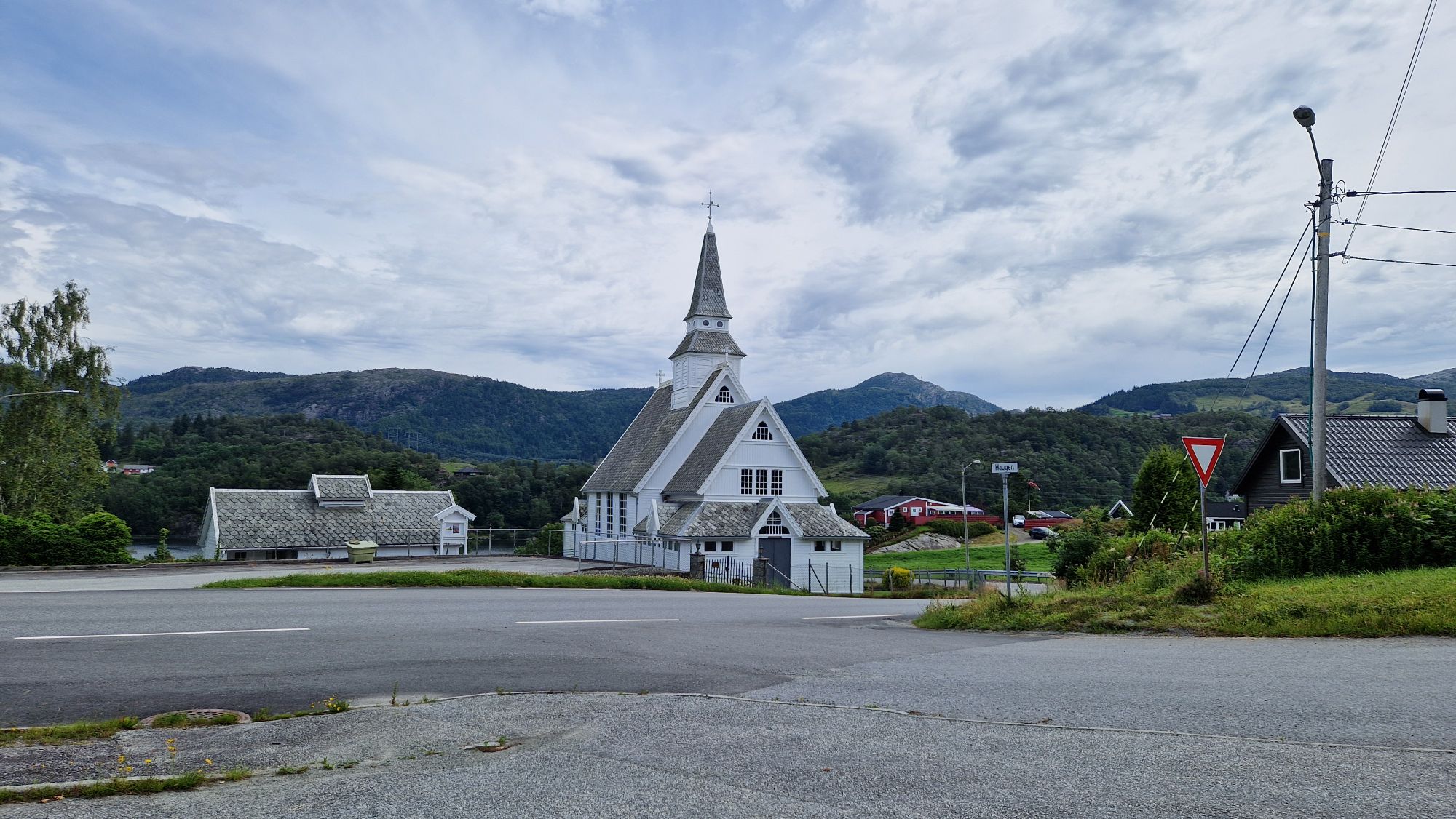
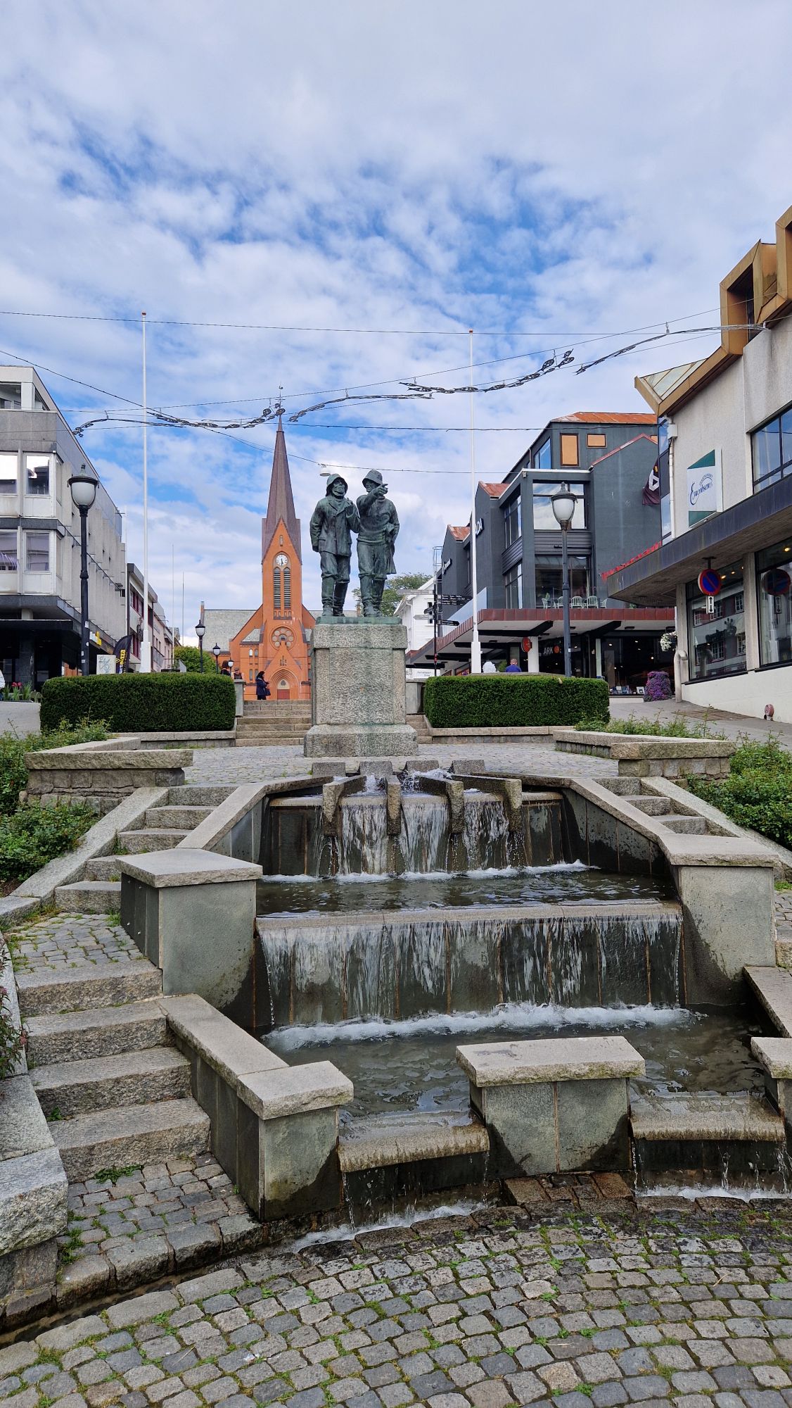
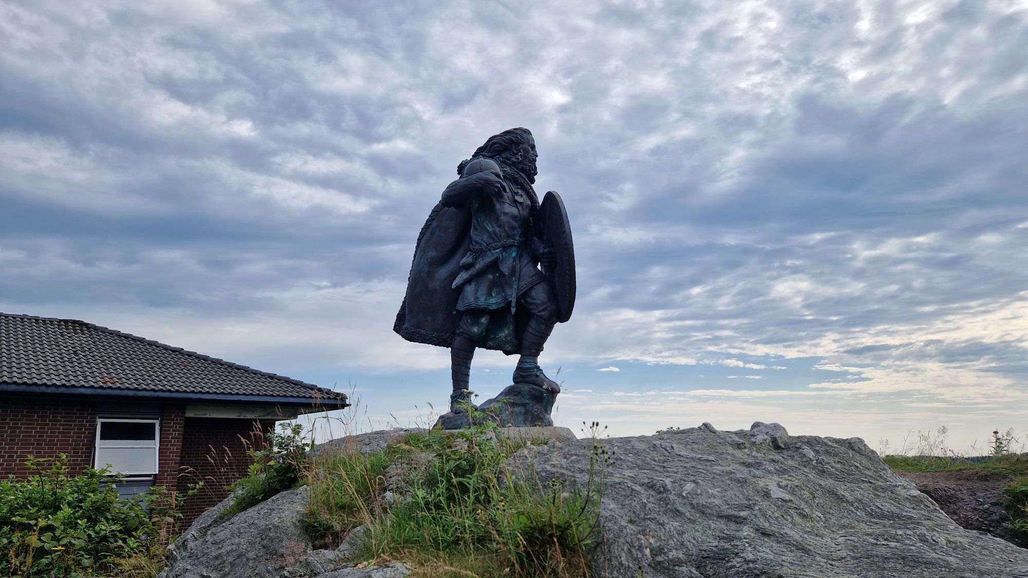
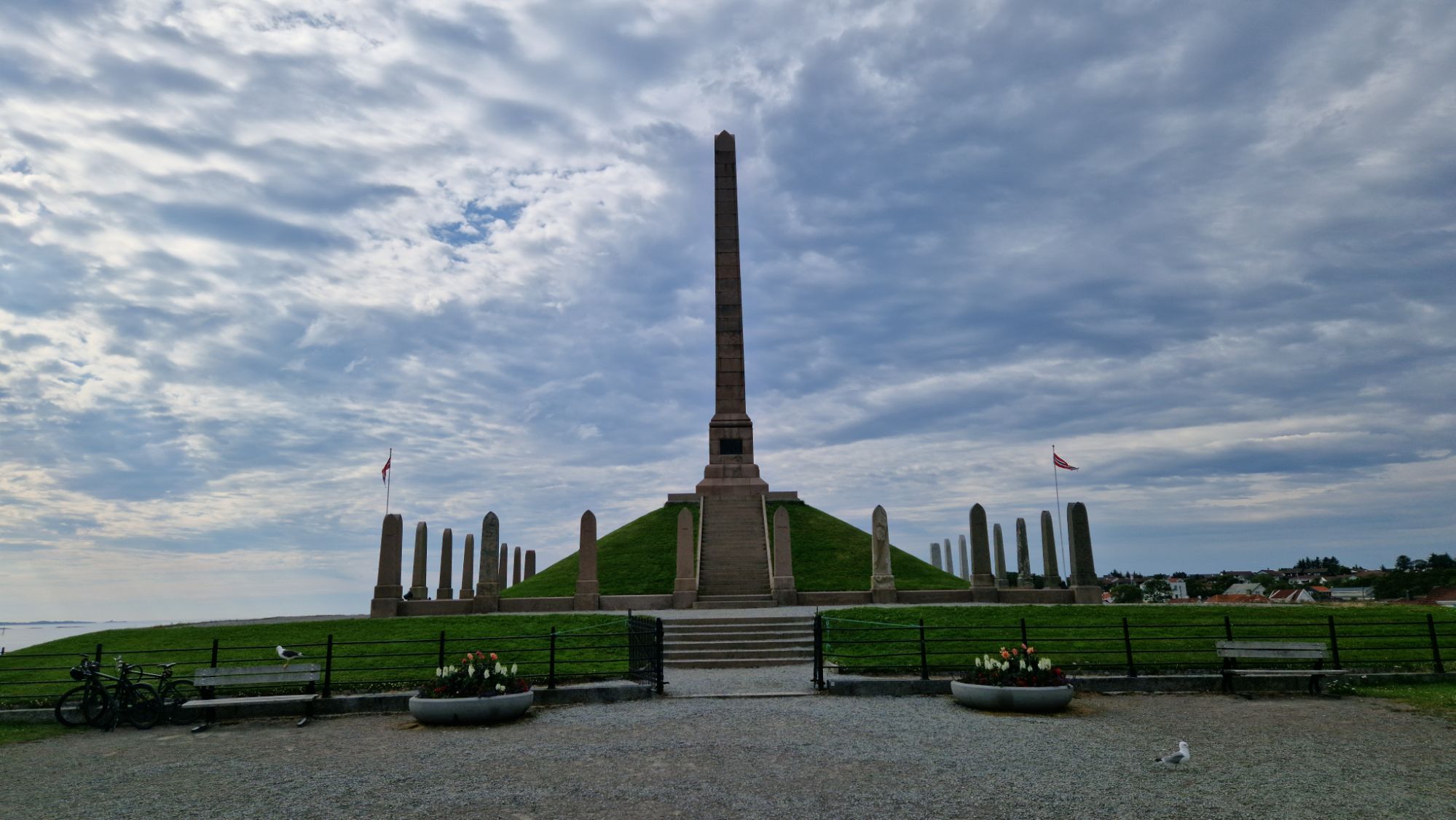
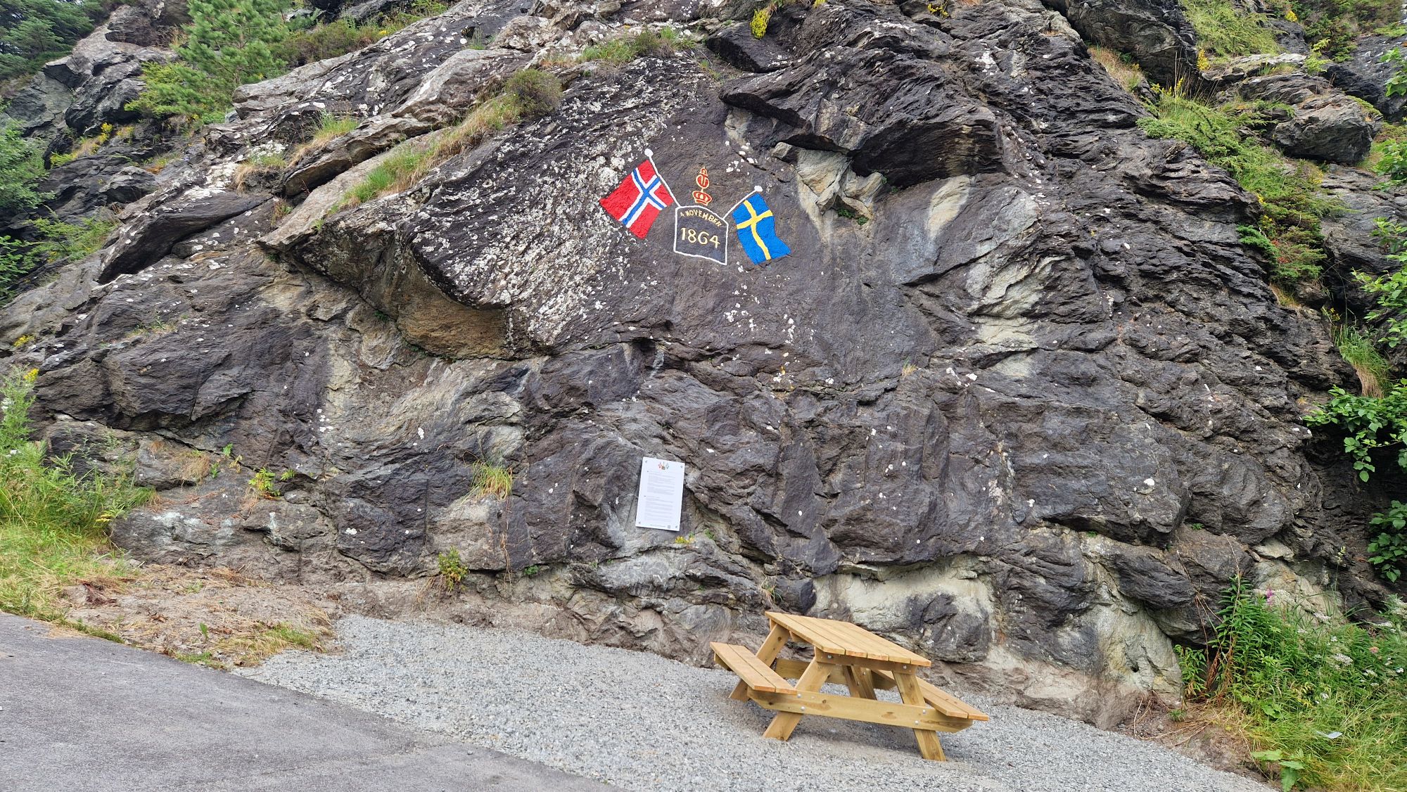
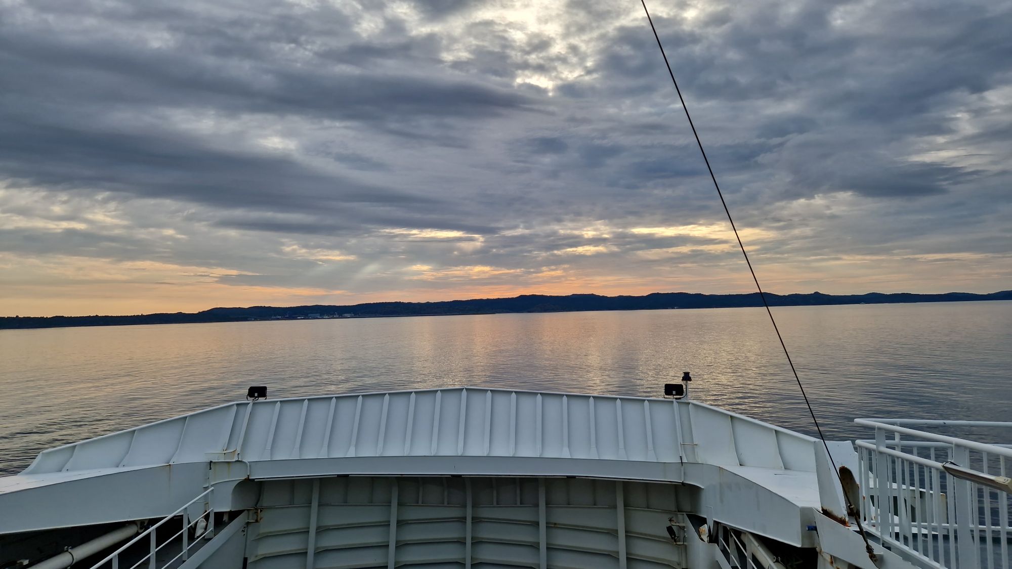
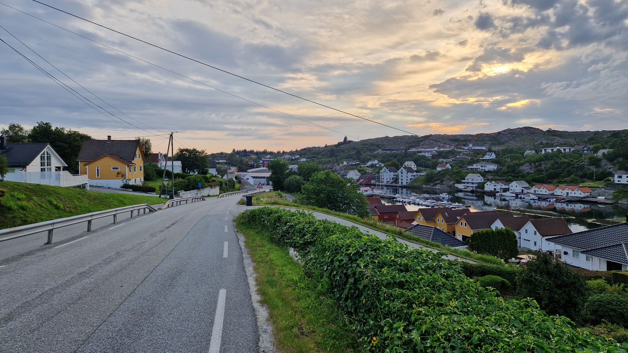
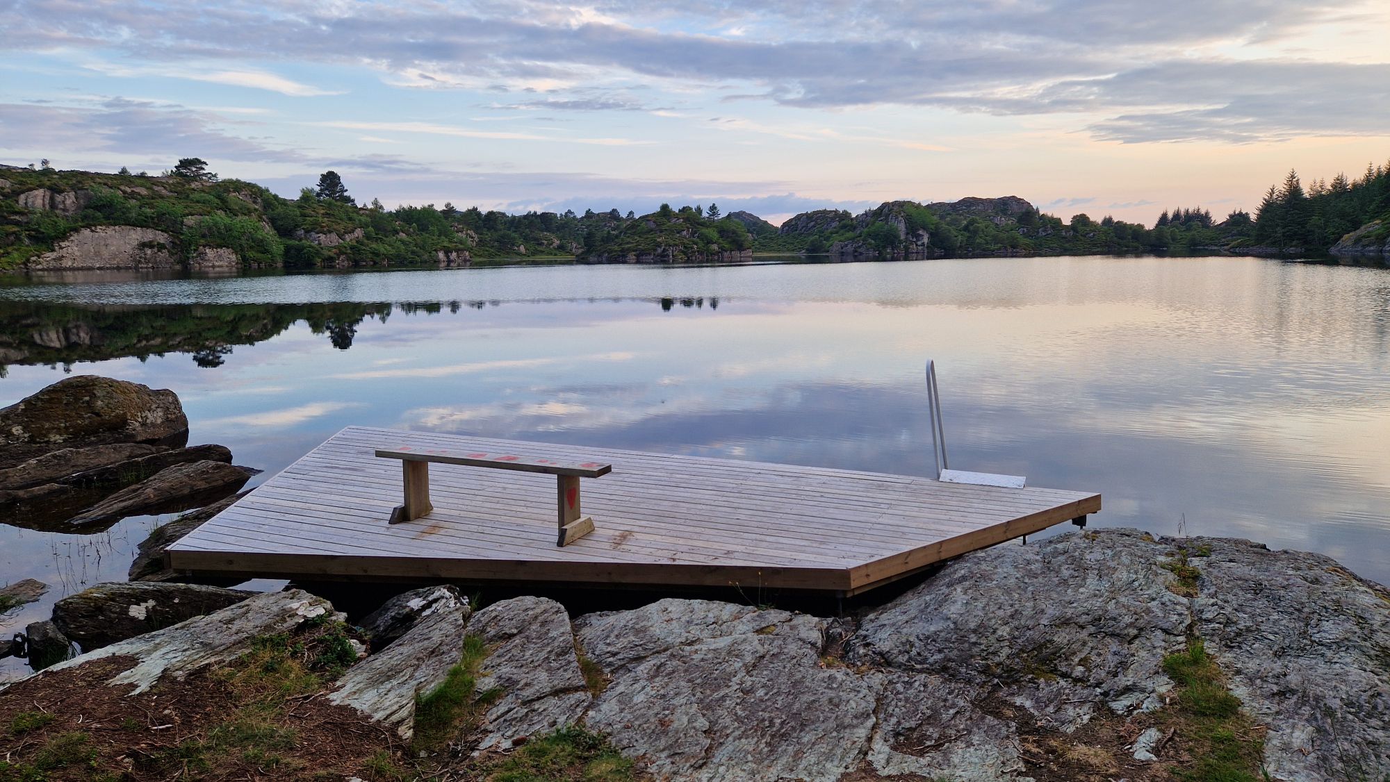
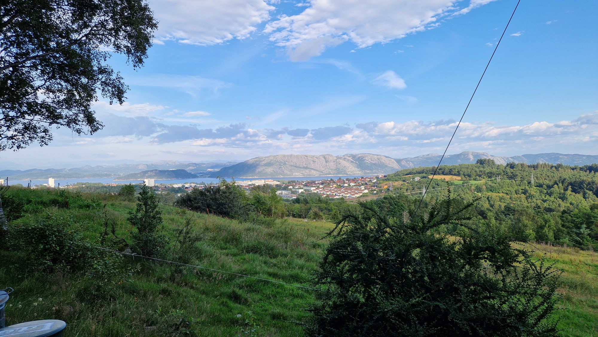
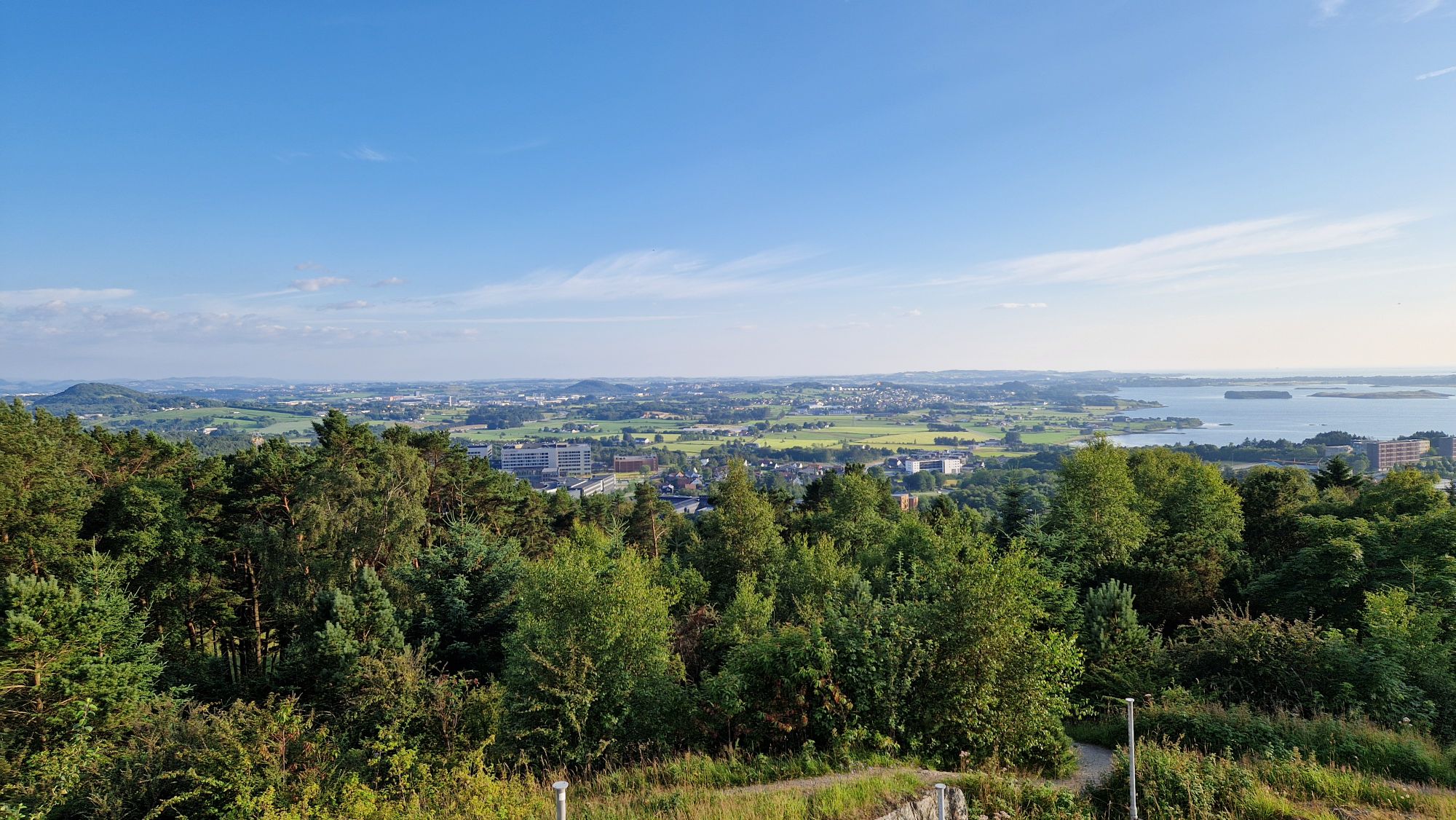
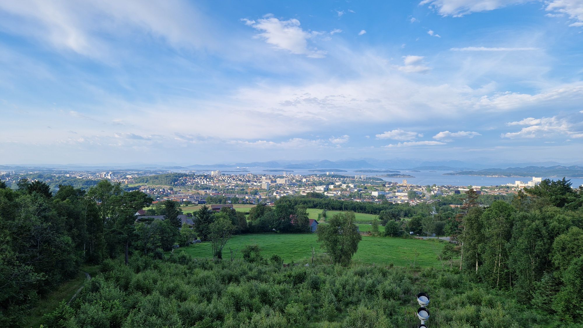
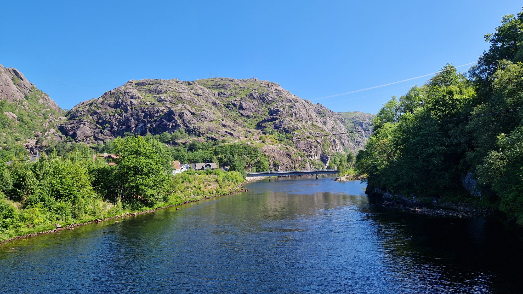
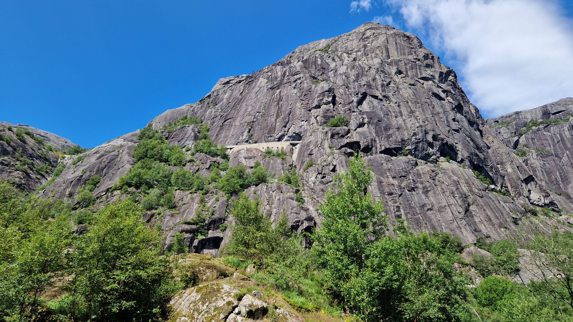
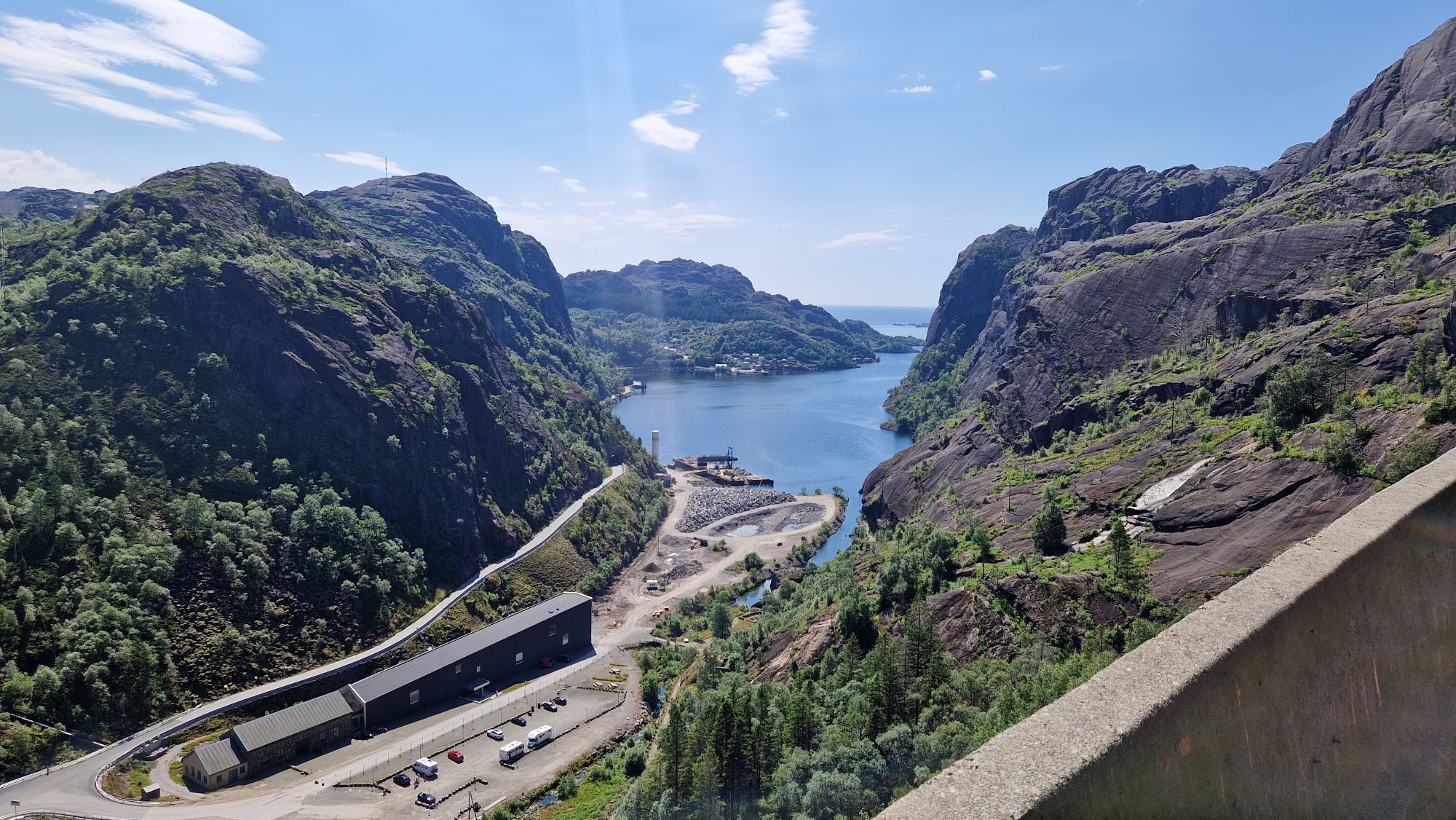
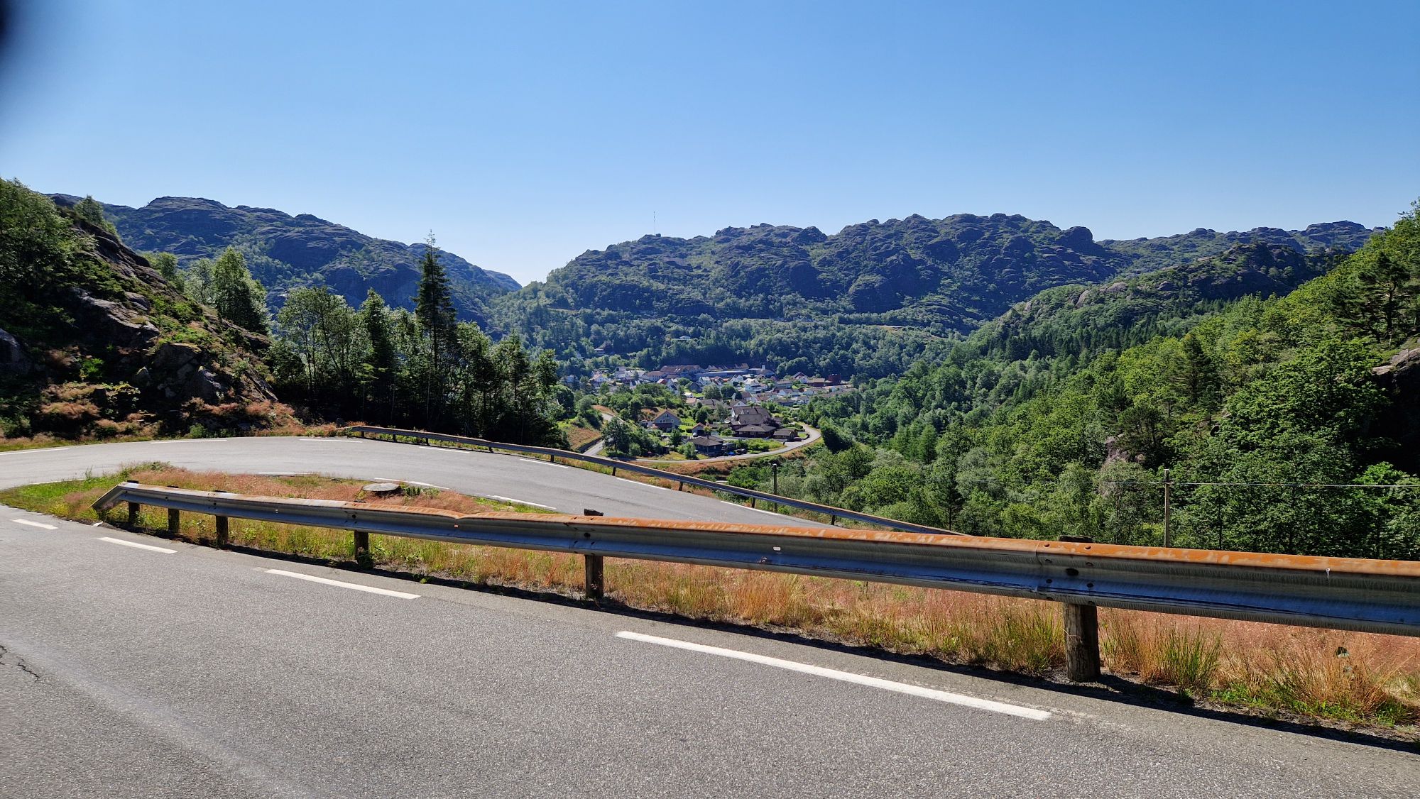
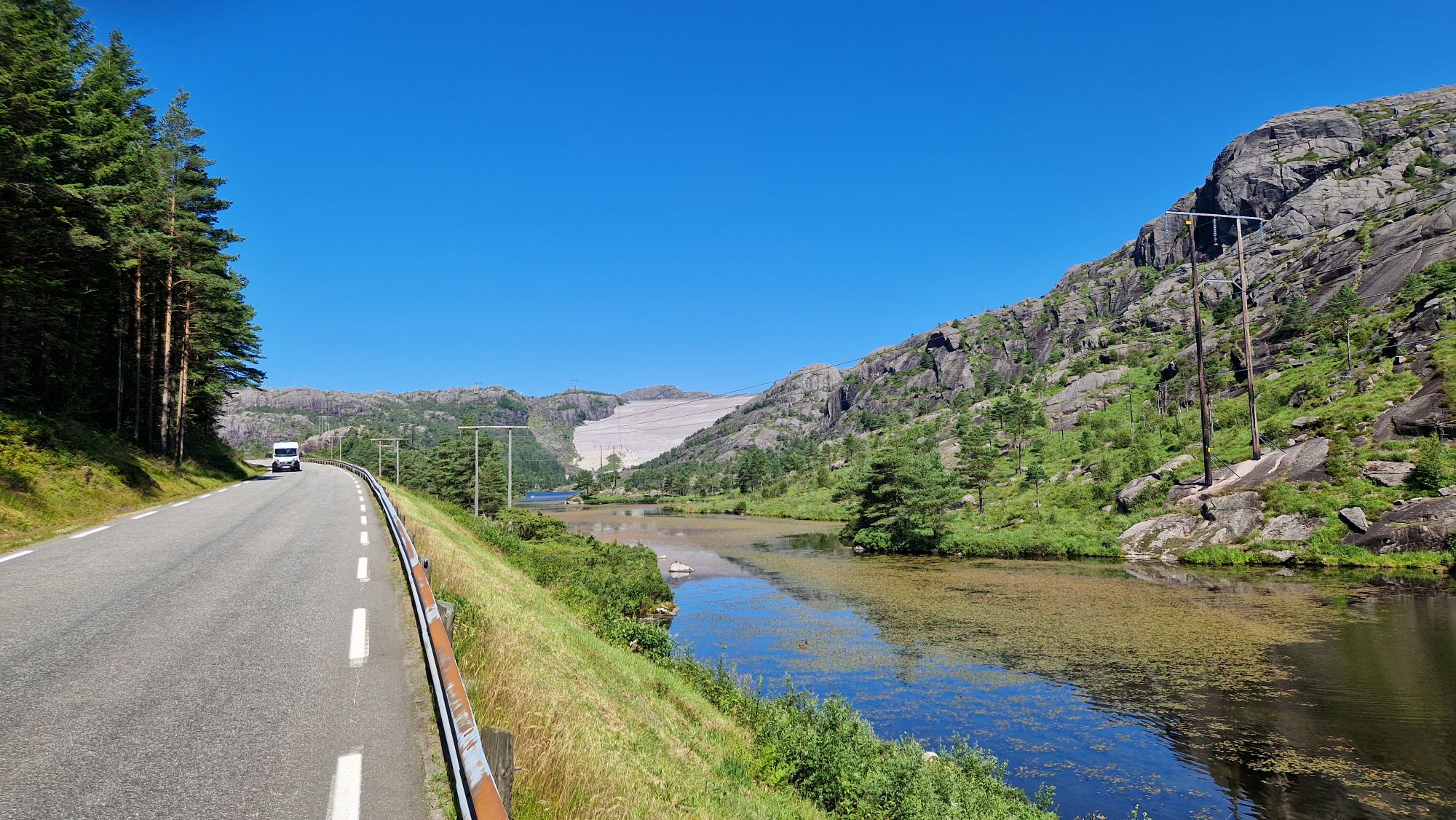
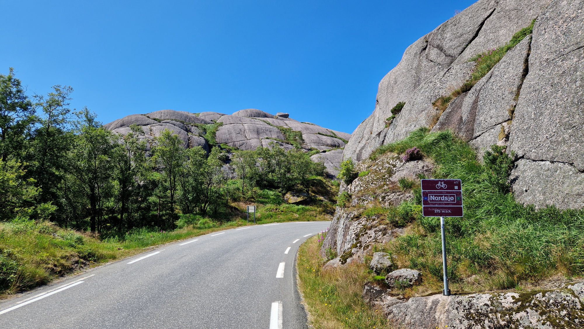
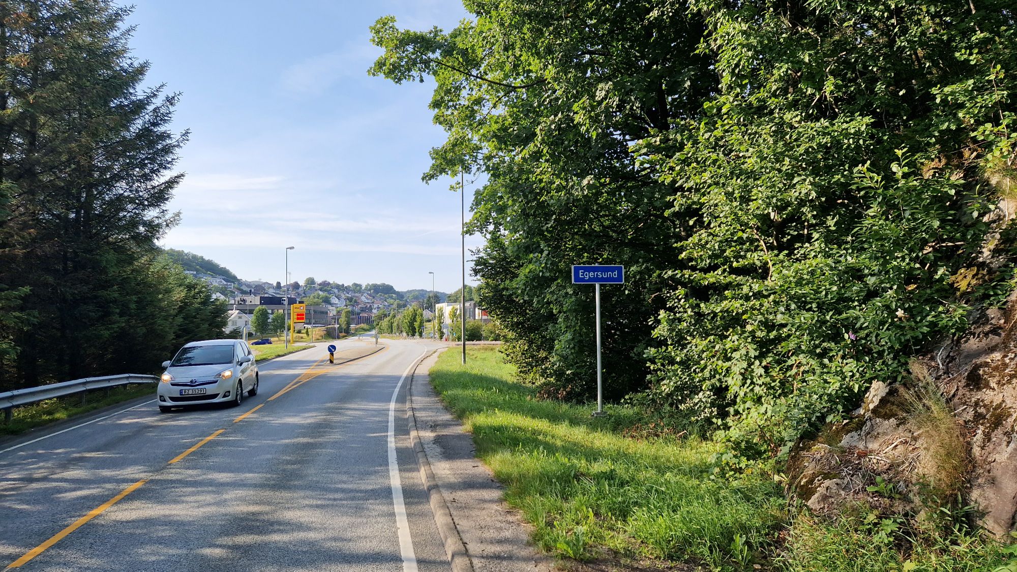
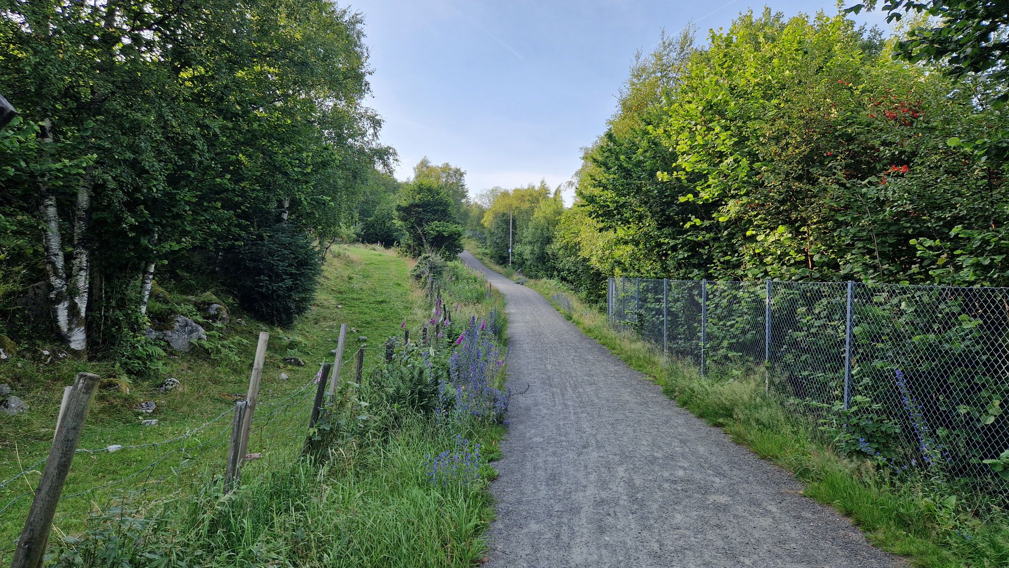
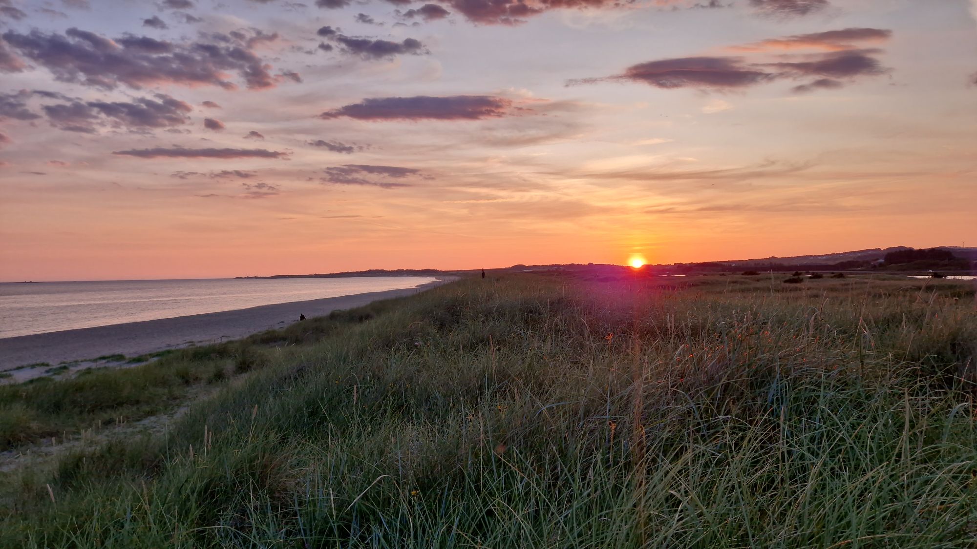
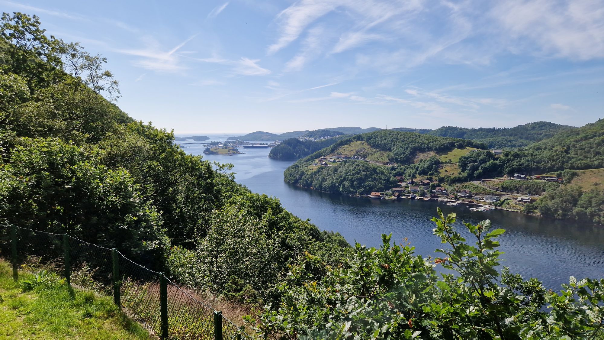
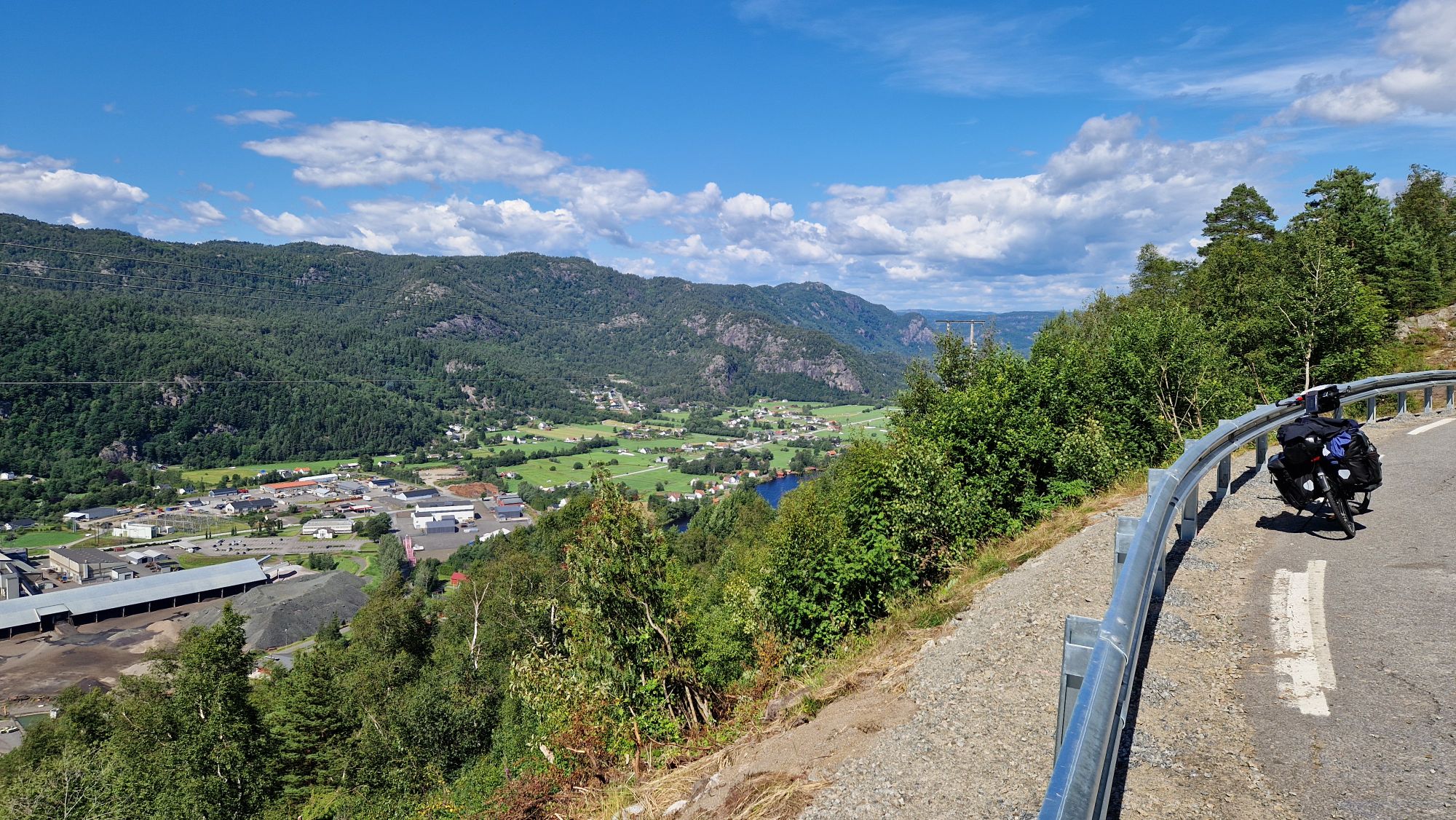
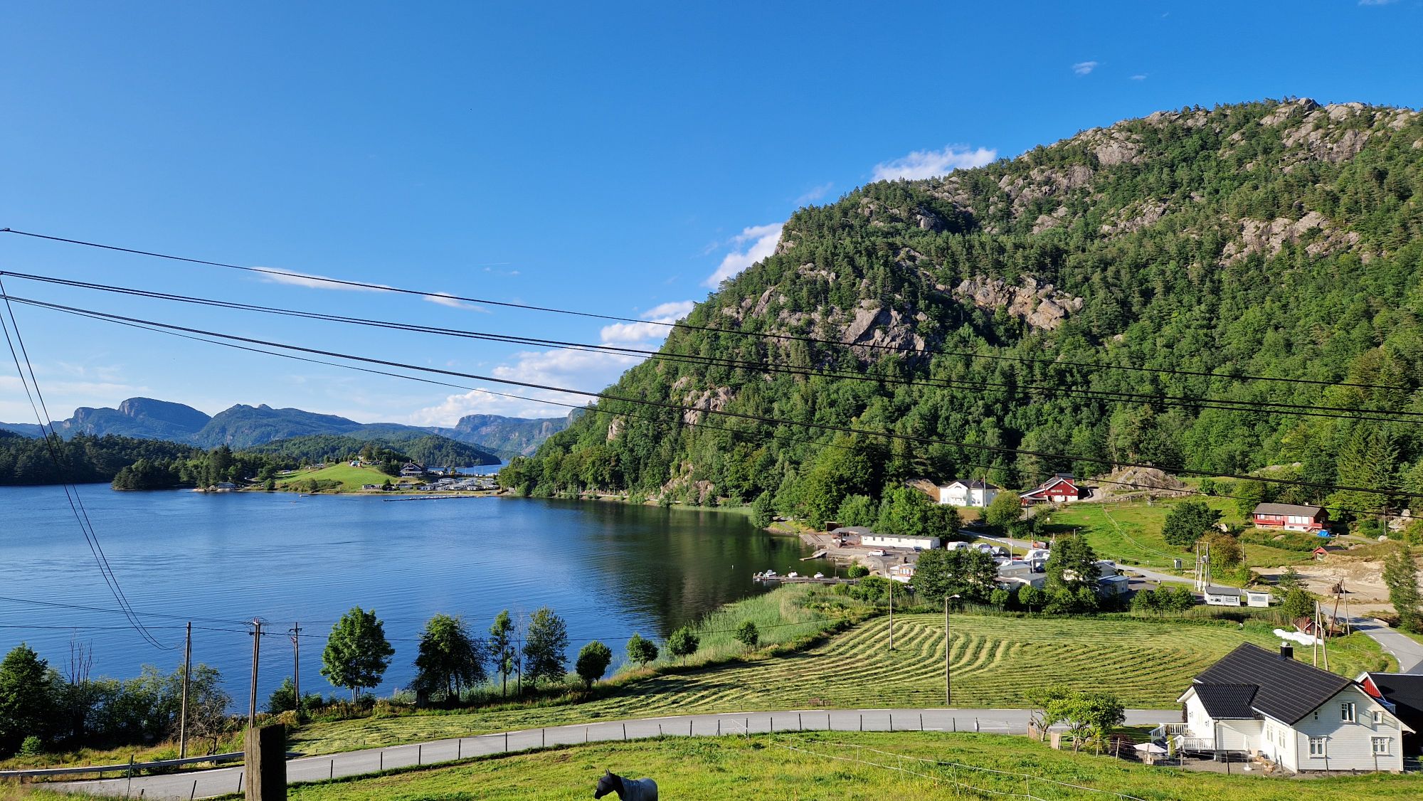
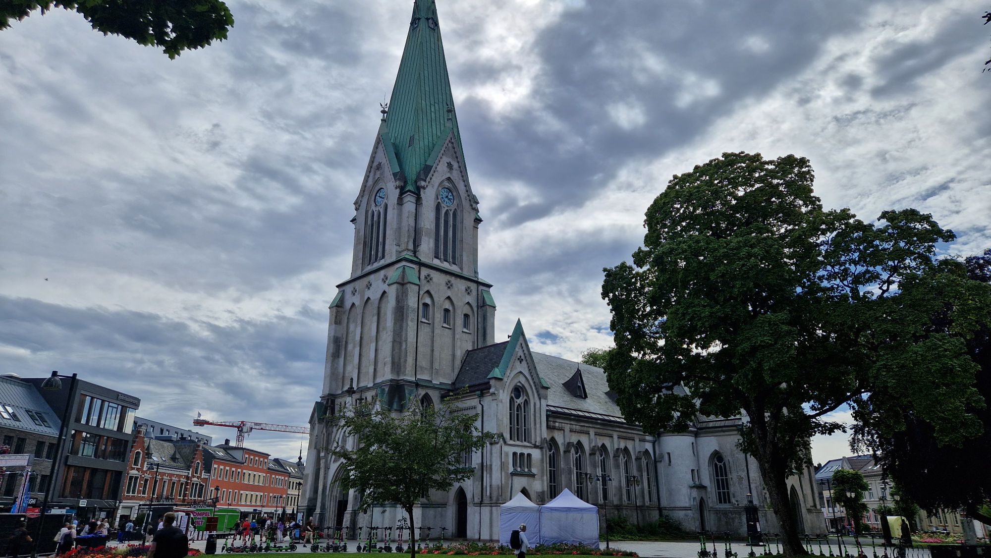
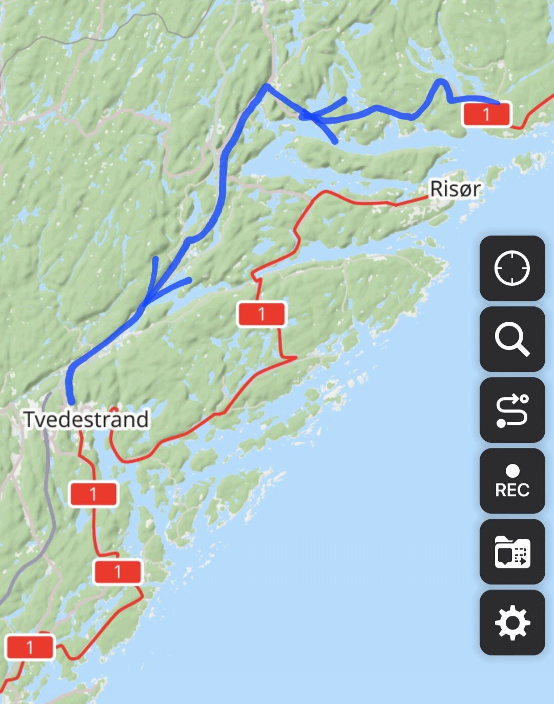
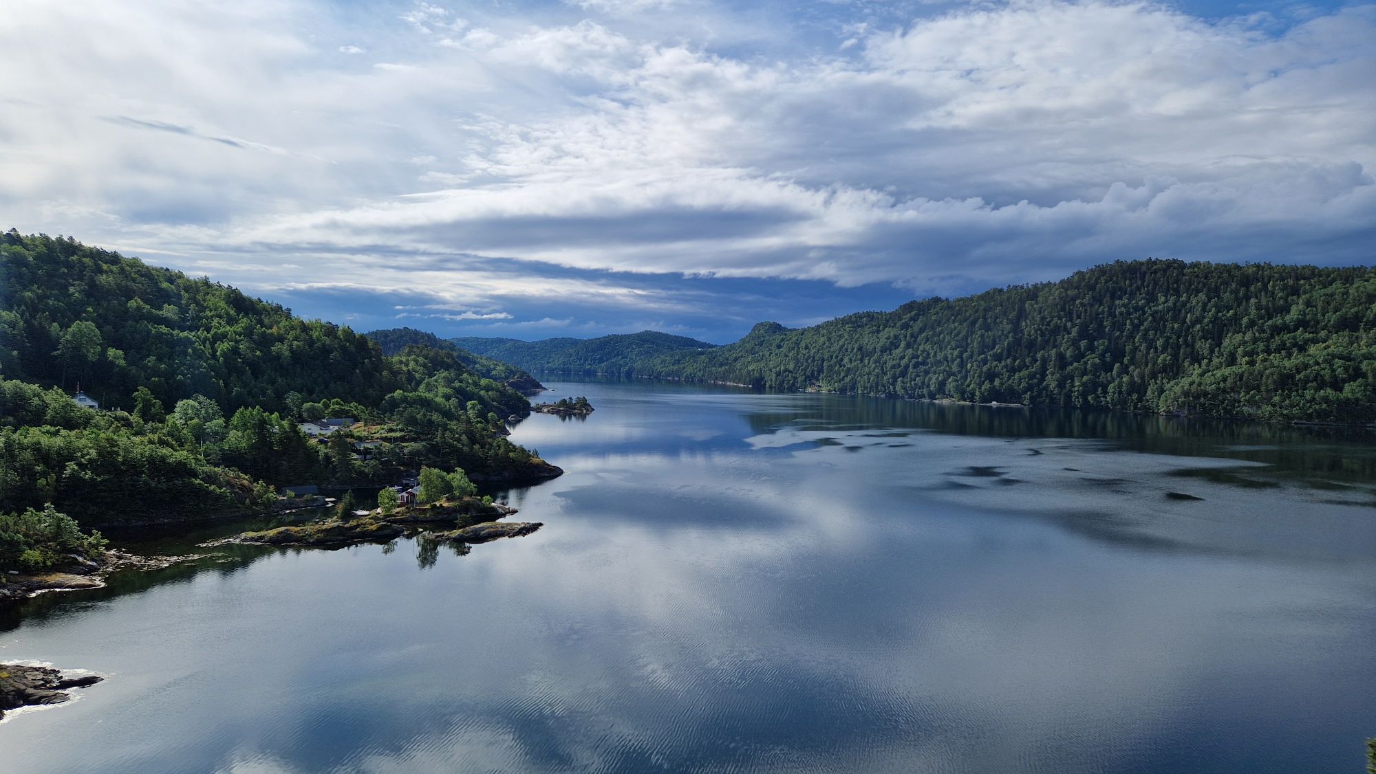
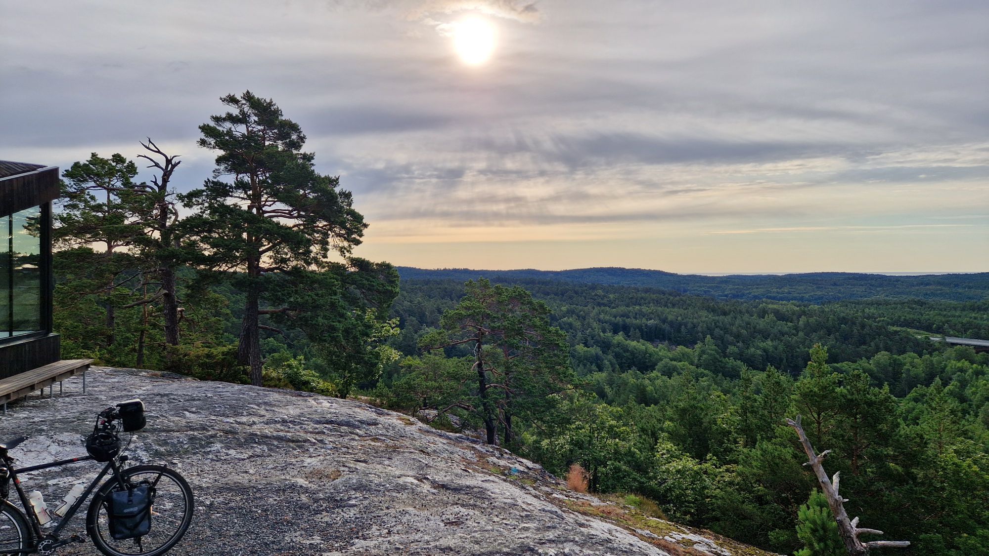
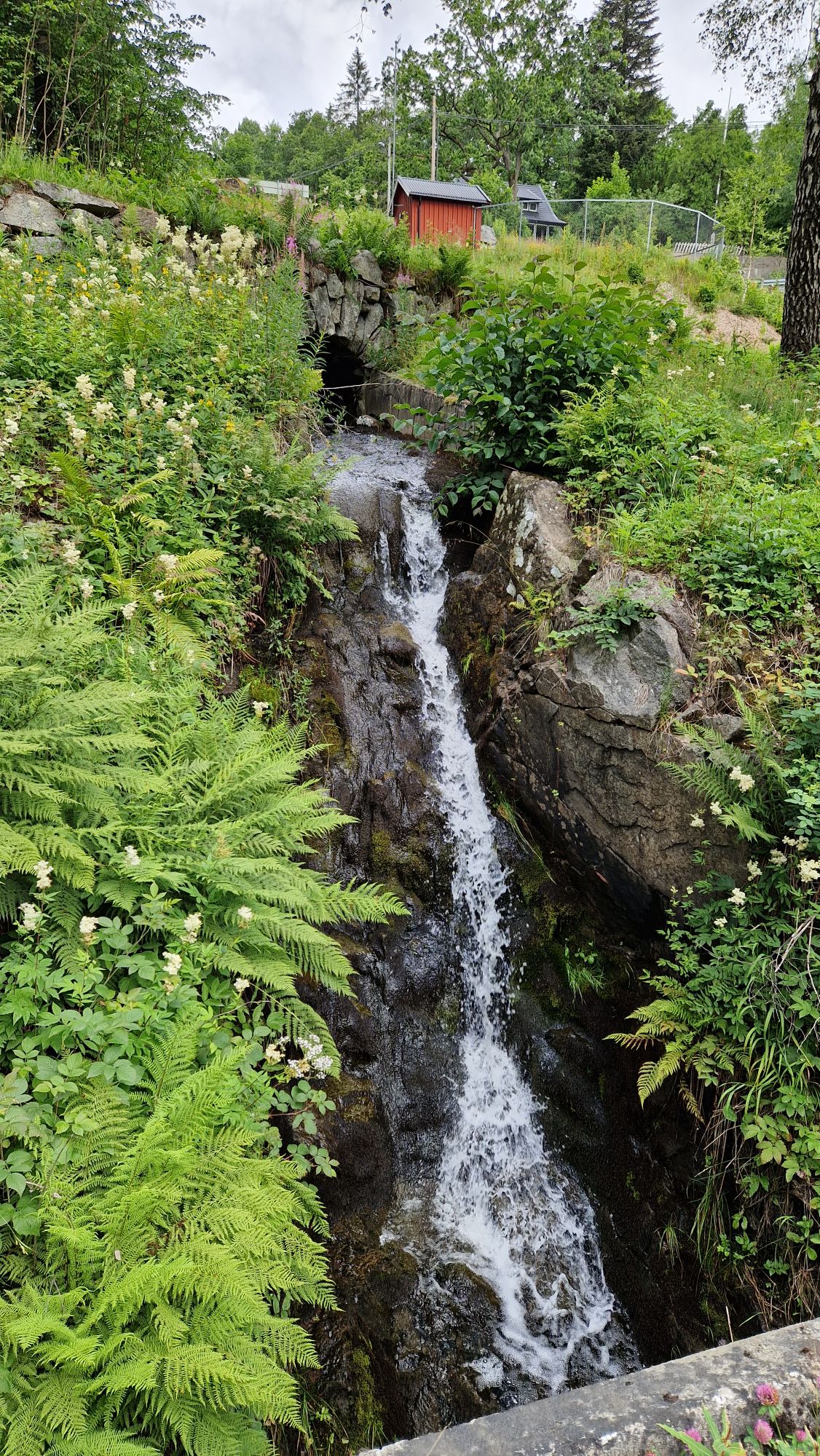
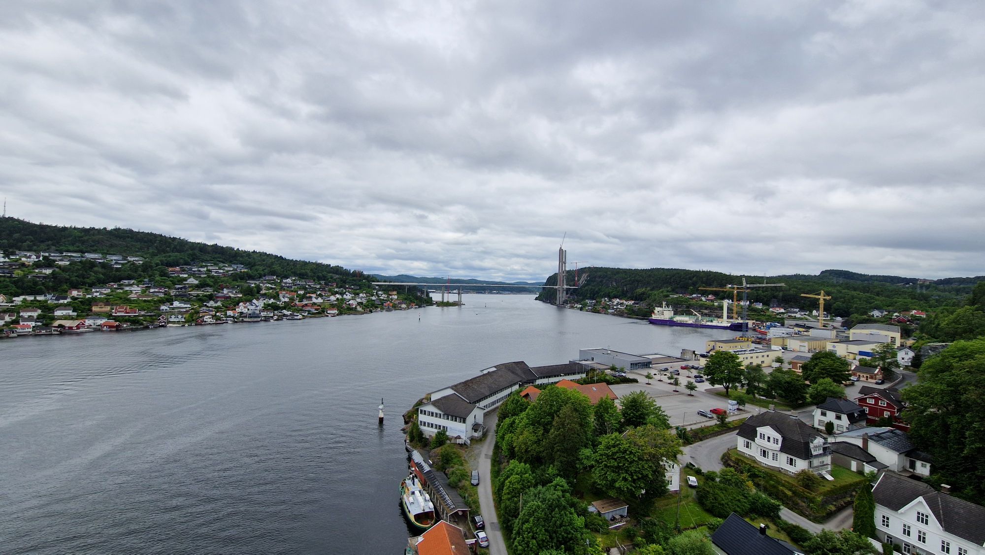
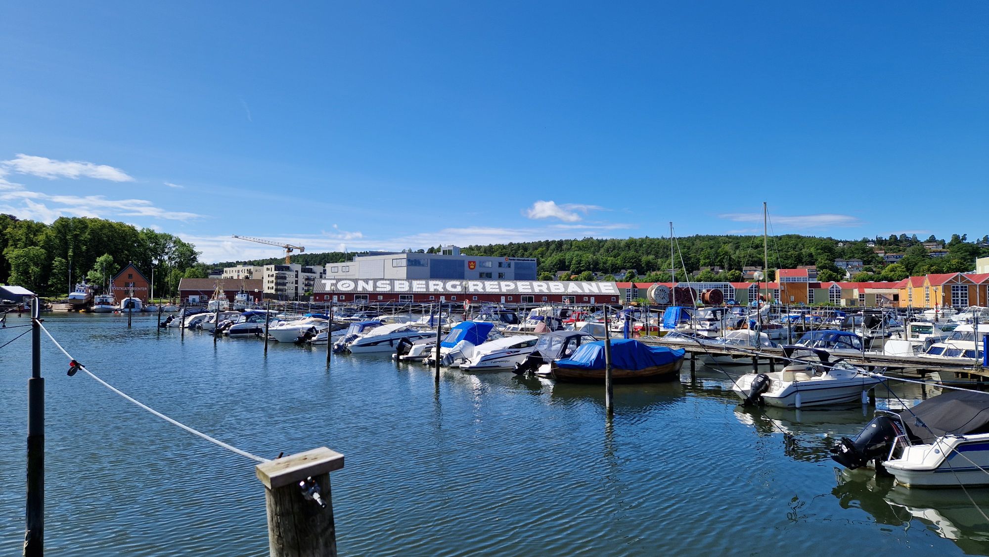
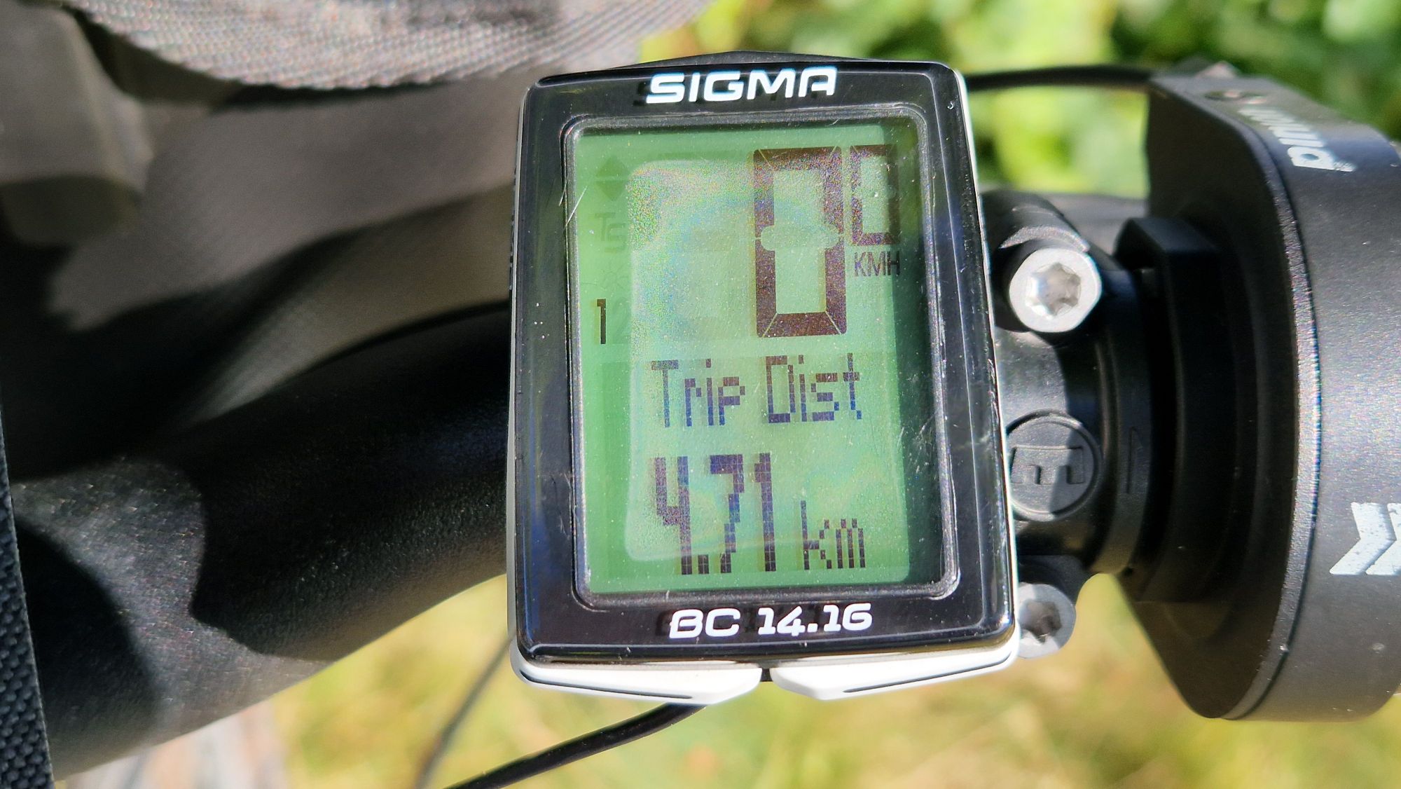
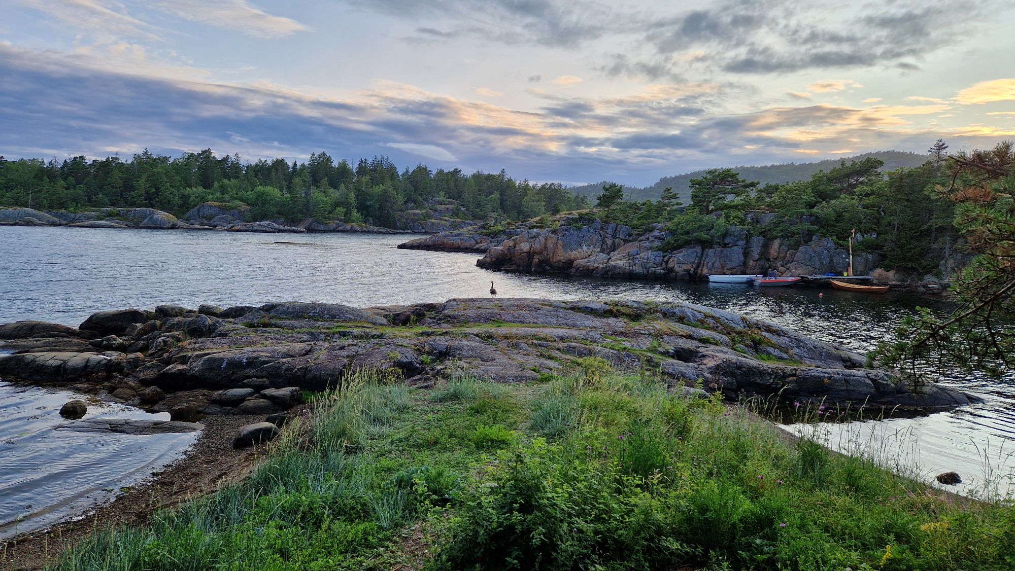
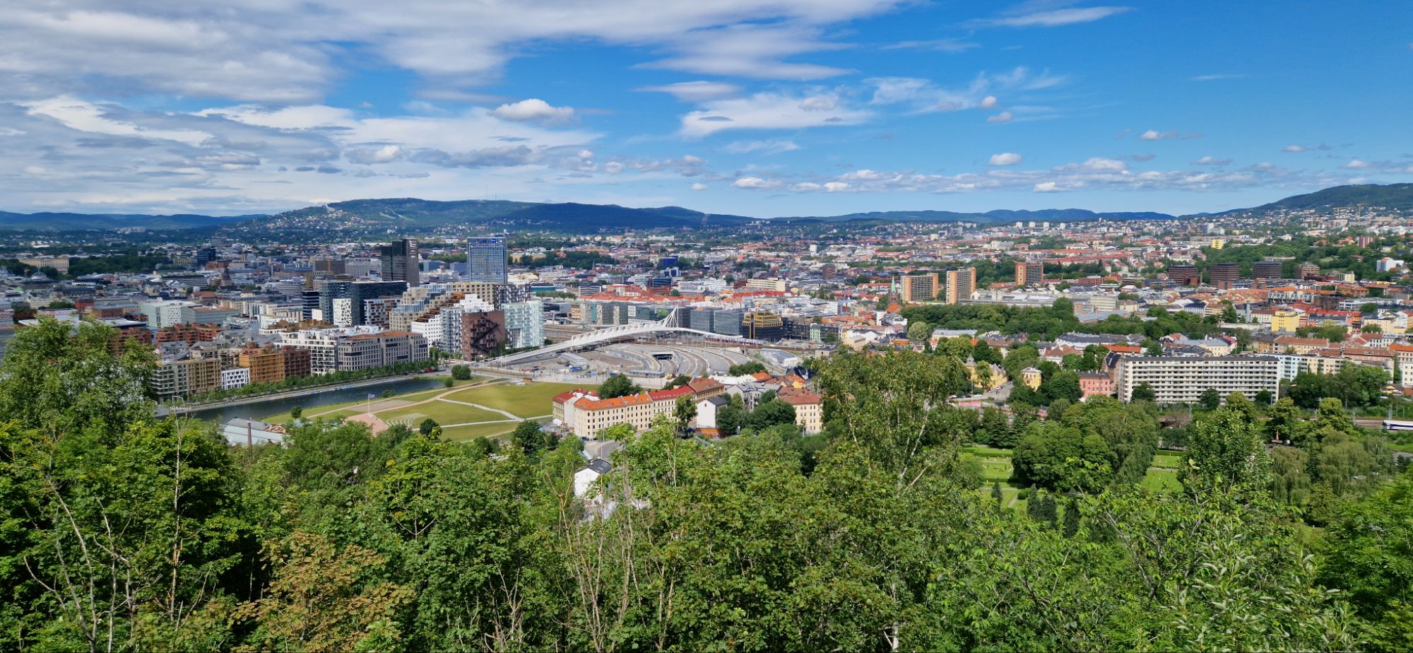
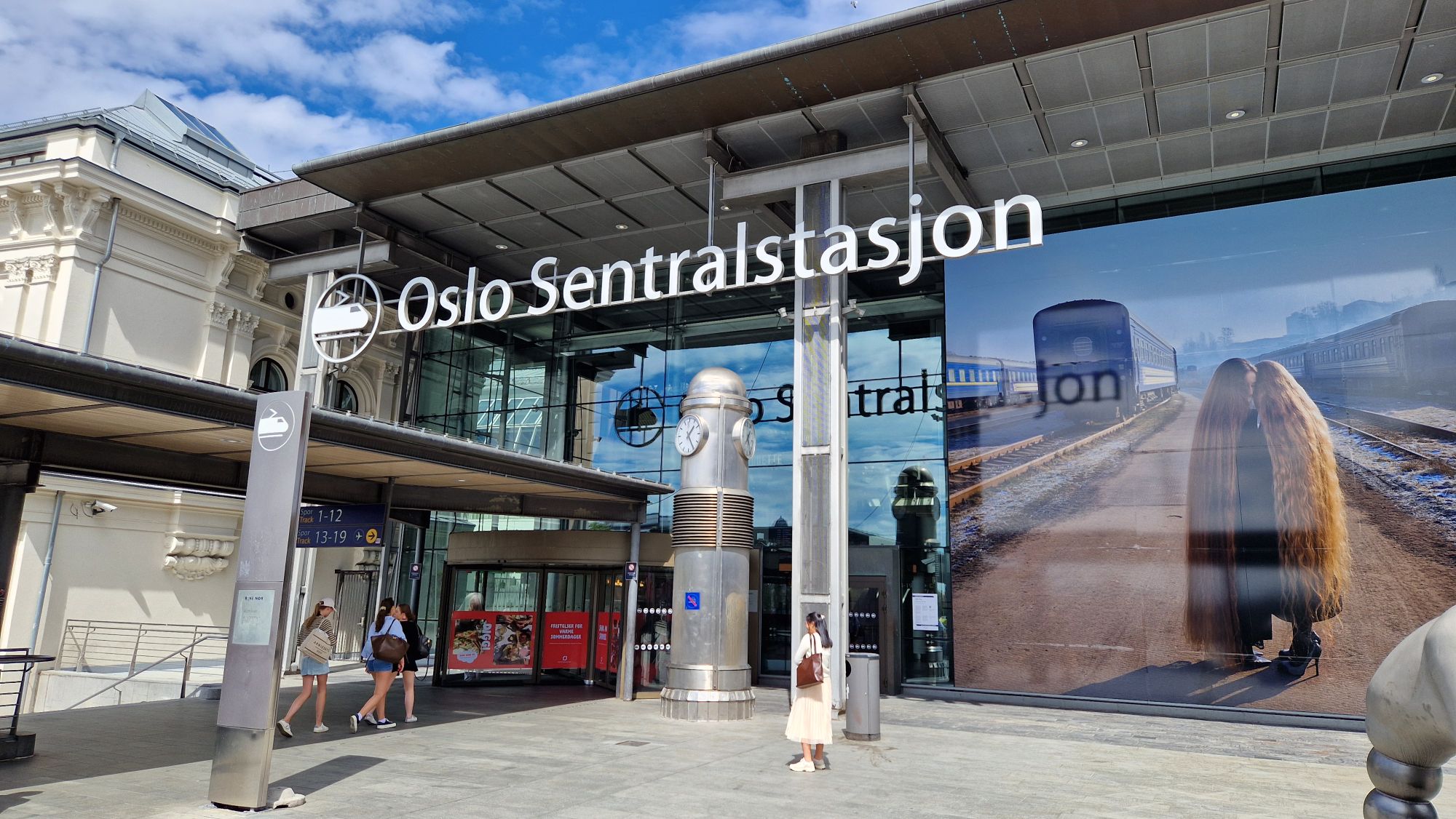
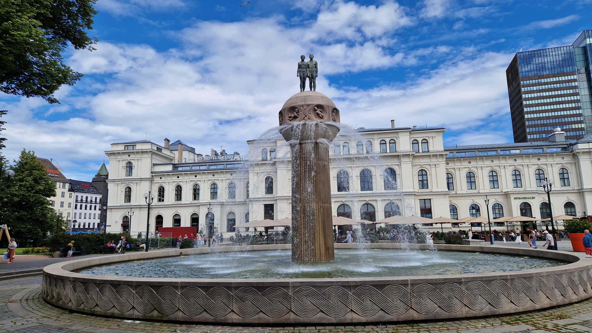
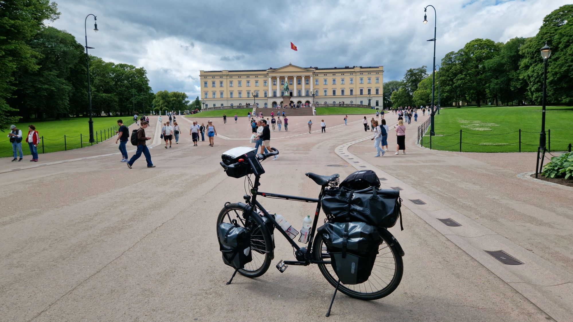
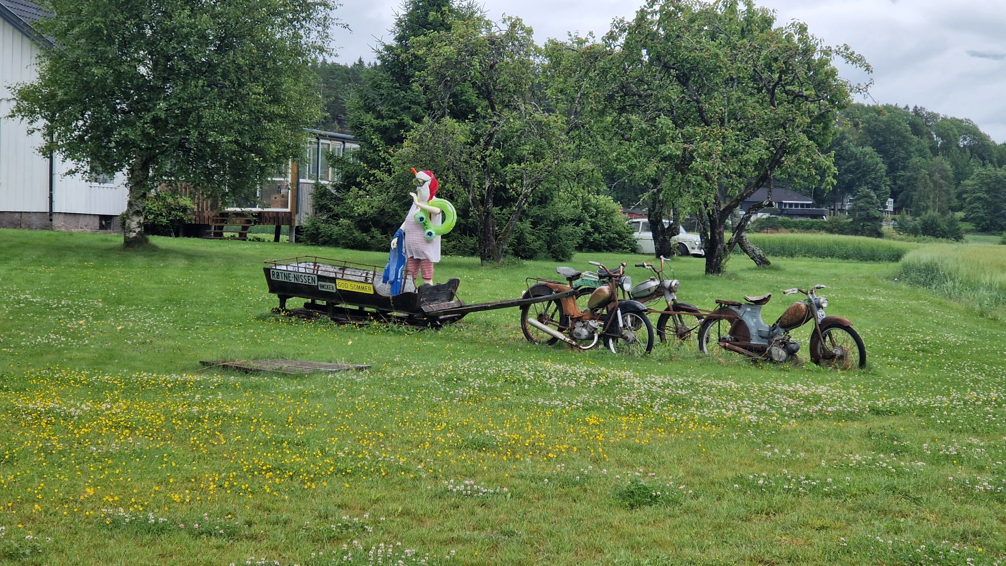
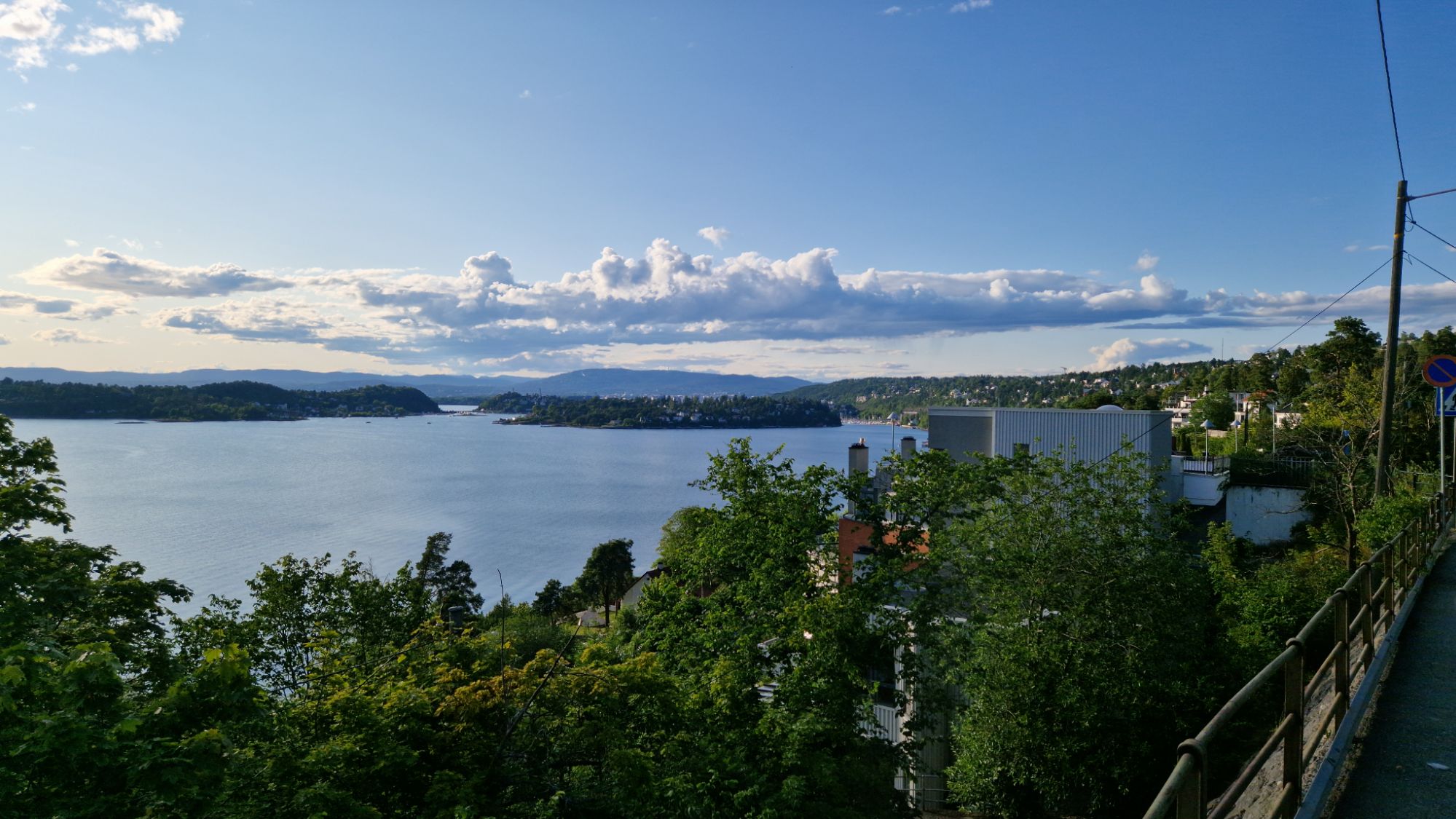
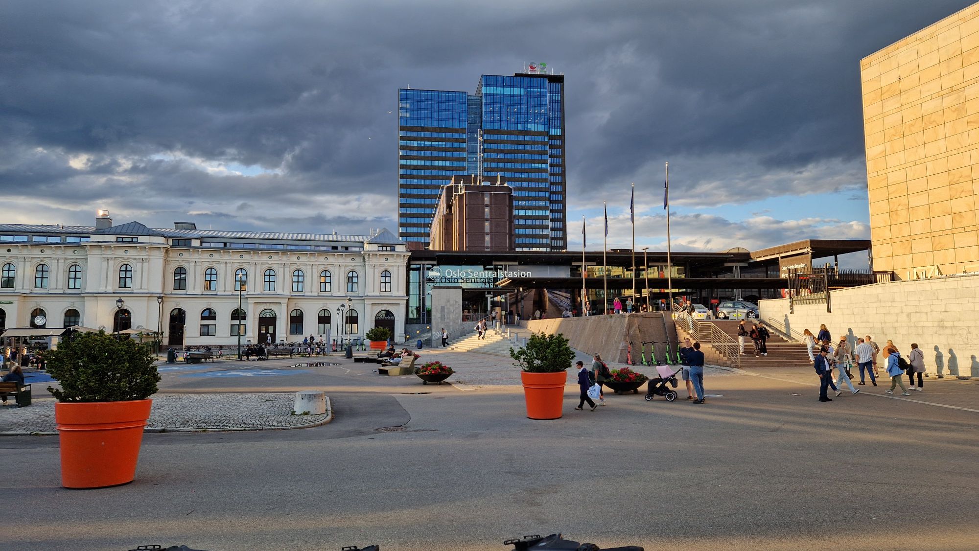
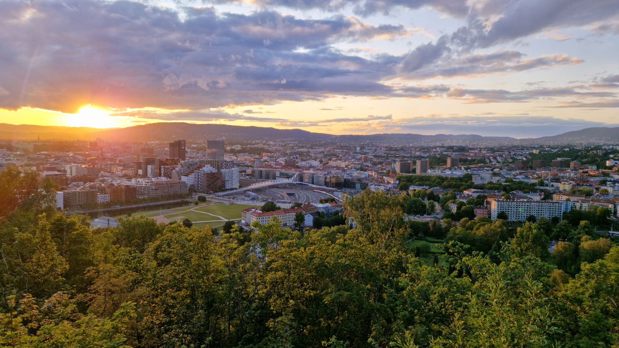
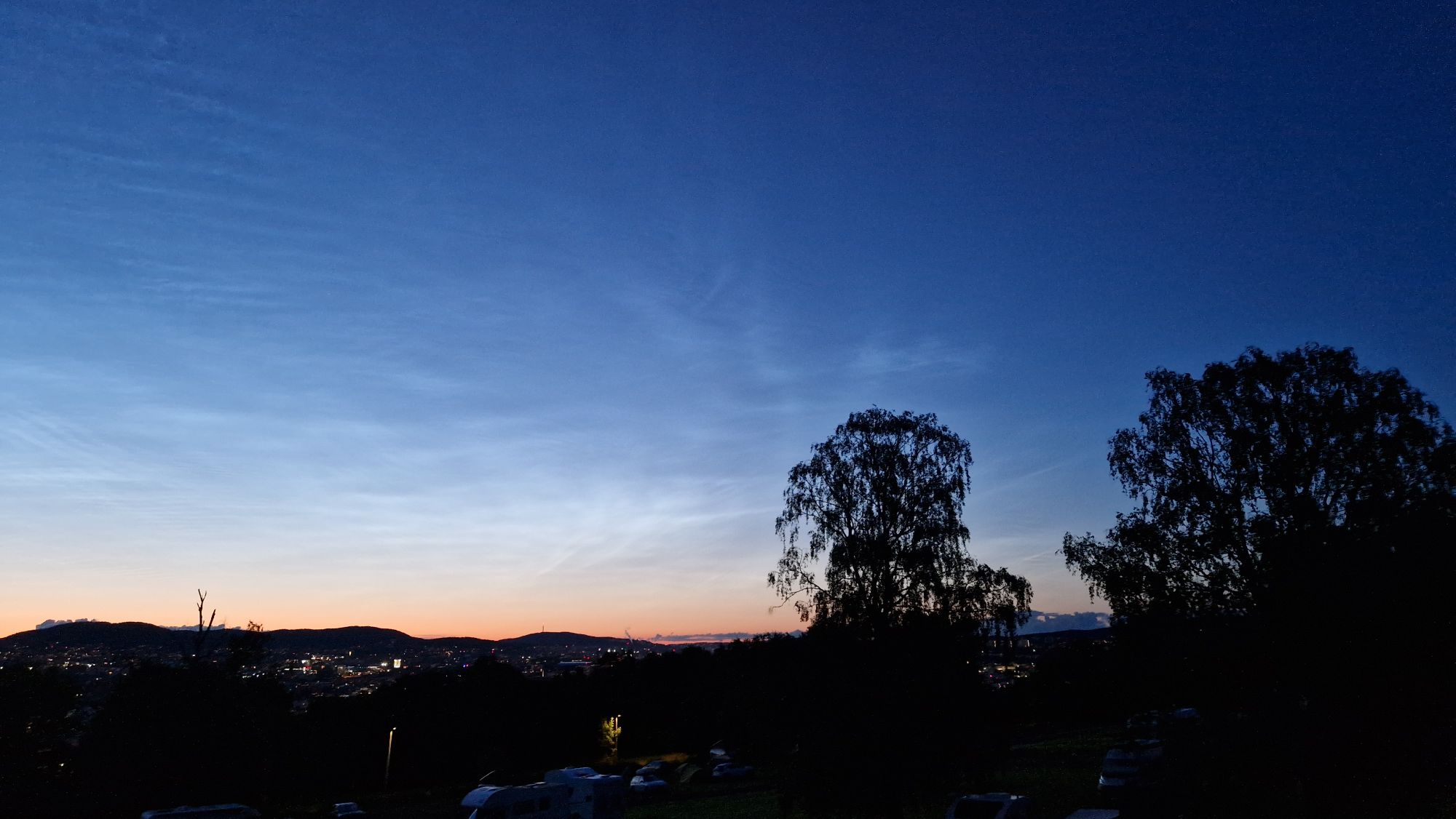
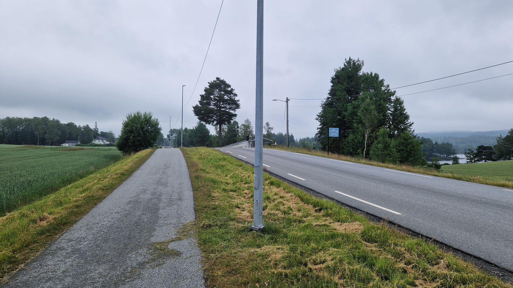
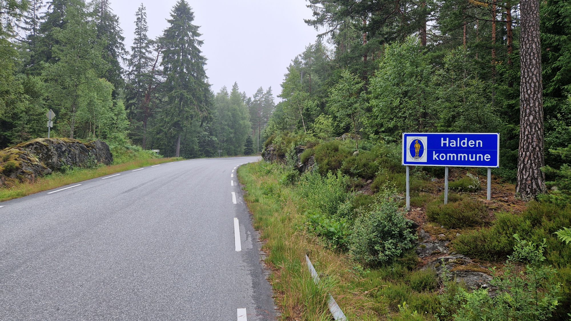
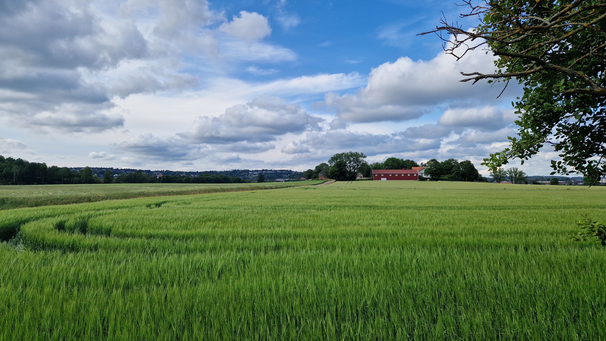
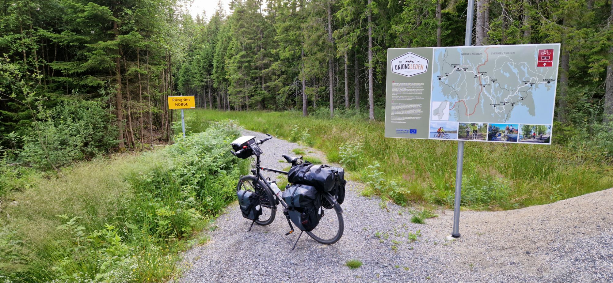
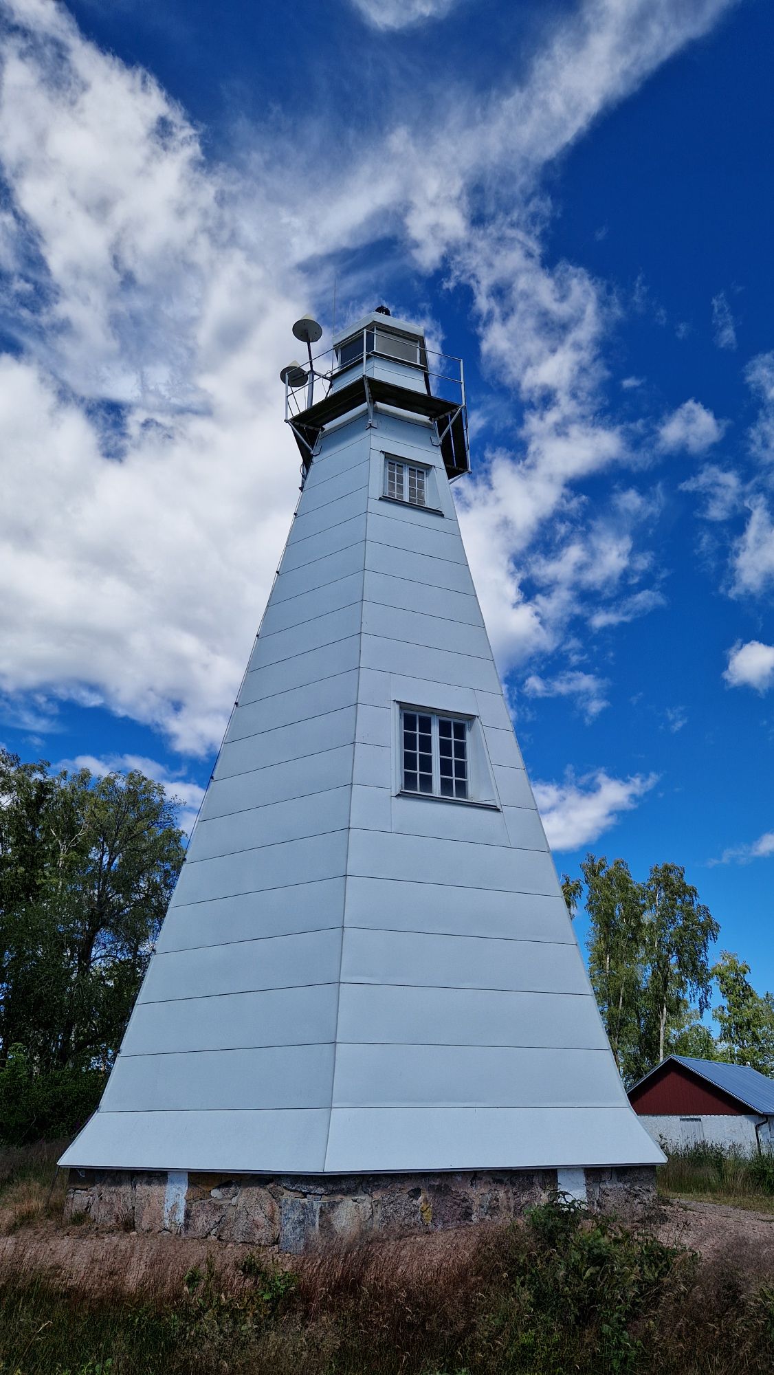
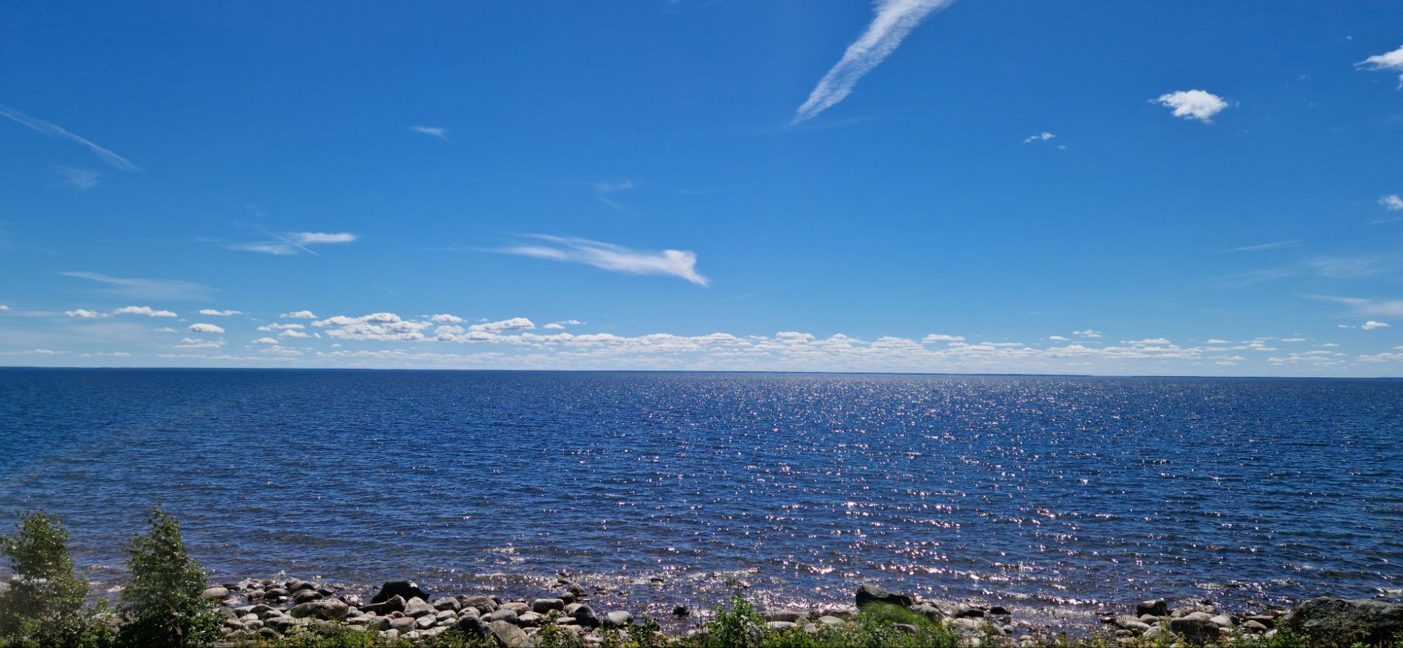
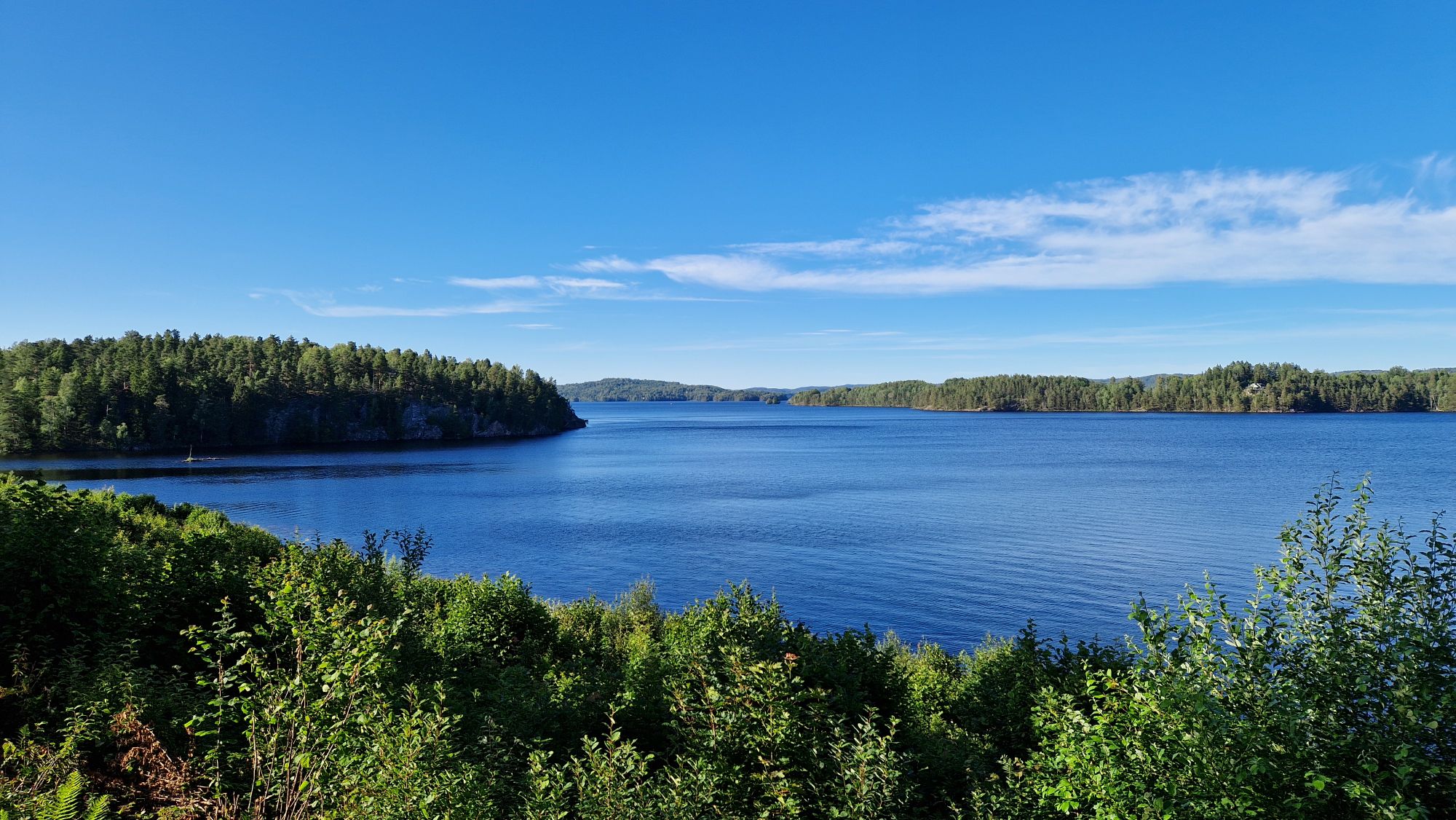
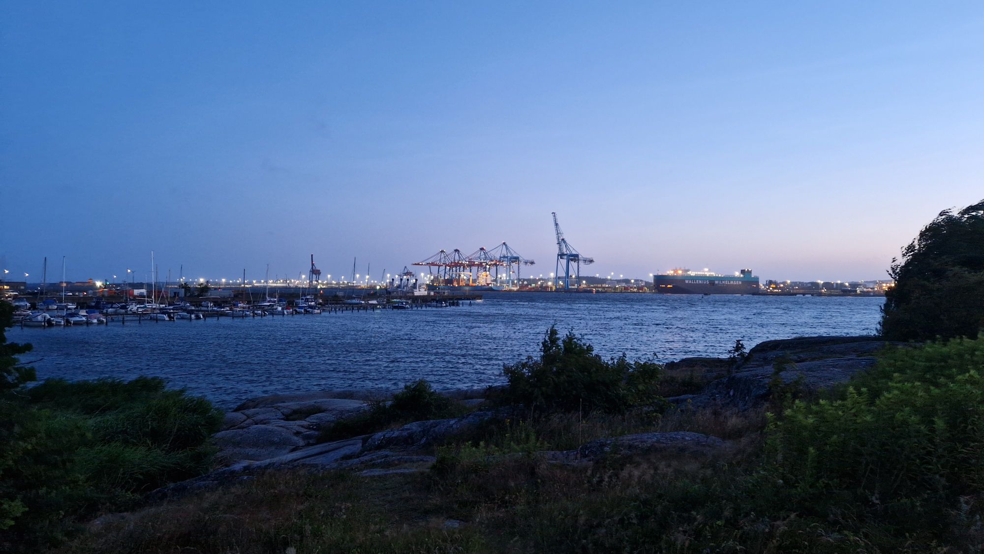
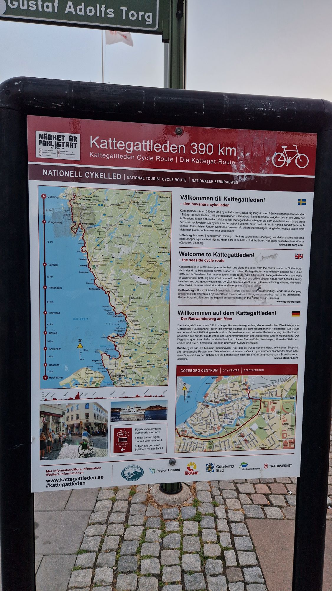
This was one of the best tours and vacations I ever had. I’ve cycled the Scandinavian leg of the North Sea Cycle Route No. 1 – around 2120 km (= 1317 miles) in 22 days from Malmö (Sweden) via Helsingborg, Halmstad, Göteborg, Vänersborg, Mellerud, Bengtsfors, Töcksfors, Ørje (Norway), Halden, Fredrikstad, Oslo, Drammen, Tønsberg, Langesund, Kragerø, Arendal, Grimstad, Lillesand, Kristiansand, Mandal (at midnight), Lyngdal, Farsund, Liknes, Flekkefjord, Egersund, Ogna, Stavanger, Haugesund, Leirvik, Bergen and many more in-between cities. The weather was perfect for cycling – mostly sunshine or friendly with occasional rain, I liked and enjoyed the lakes, the sea and the landscapes. I’ve met wonderful, kind and like-minded people along my route.
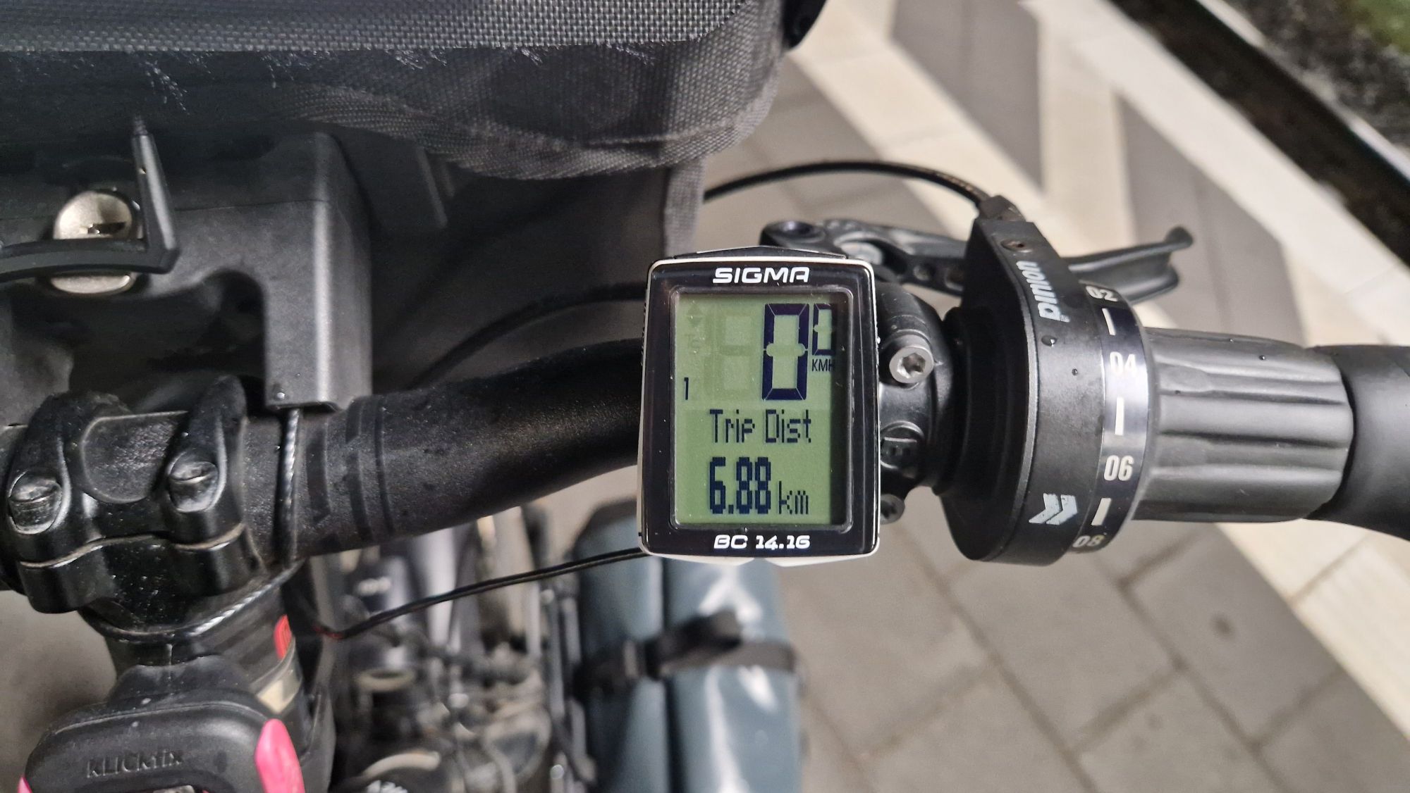
I’ve tried to document my voyage in daily blog posts. There was an overload of so many impressions almost every day! So I tried to keep up with the happenings on road. Thanks to the very good cell phone connections along the route, I was able to do it in a minimalistic fashion on my smartphone. I’ve made over 3000 pictures and it was difficult to make a good selection, because almost every picture has its own story… I hope that some future-travellers will find those information useful to plan their own route. If you have some specific questions about this bike tour, please write me an email at DH 7 DN [at] darc [dot] de. I’m checking it on a weekly basis due to low traffic – but I’ll answer asap!
Training my legs
The preparations for this particular tour started in winter 2024/2025. I’ve been doing cardiovascular training during the winter/spring months and basically cycling on average 5-6 days per week. I was able to reduce my weight from approx. 100 kg to about 92…94 kg in order to get in shape. The training was nothing special, just the “usual” 60 minutes or 25 km of fast cycling per day. I’ve tried to keep it up with the training plans just two days before the journey started.
Planning the tour
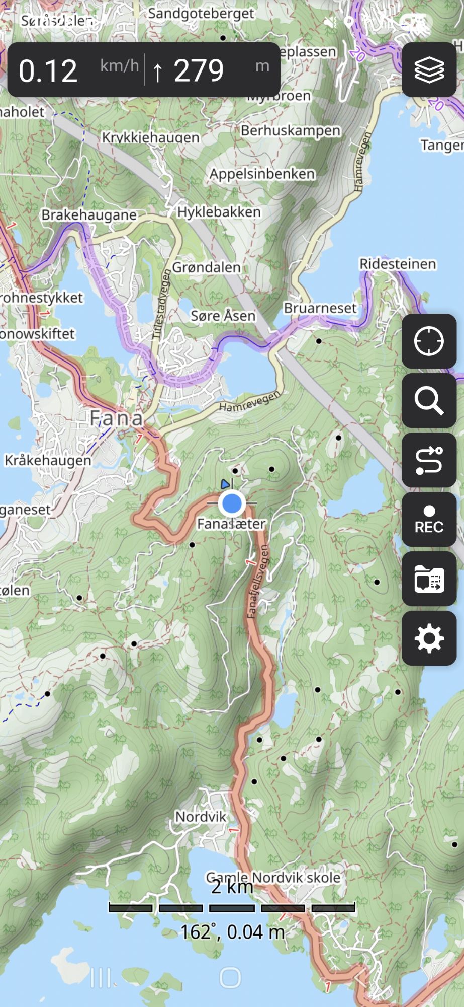
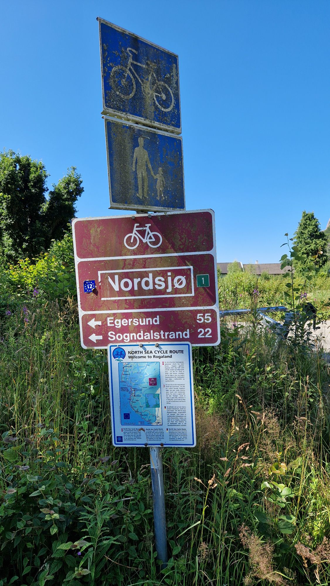
I started planning this bike tour on paper in February/March 2025. The main inspiration came from the German website Radreise-Wiki / Nordseeküstenradweg Norwegen and the OpenCycleMap.org website. It was a very good guide what to expect, huge thanks to the creators and writers of the wiki and the map. However, there is no “recipe” for such a week-long journey – one has to pick out suitable tracks. It’s impossible to see everything in a limited amount of time. So I’ve done some research on the internet (Google for bike tours to Norway), watched some YouTube videos (can highly recommend Bicycle Touring Pro YouTube Channel), checked the Wikivoyage for possible tourist spots and few others. A fellow cyclist showed me a nice travel guide booklet for this route, which I didn’t have on my mind. Anyways – much time went into preparation and creation of a plan or “time schedule” in order have a “tailored” bike tour. You can try to do it “by the numbers” but be aware of some possible real-life obstacles.
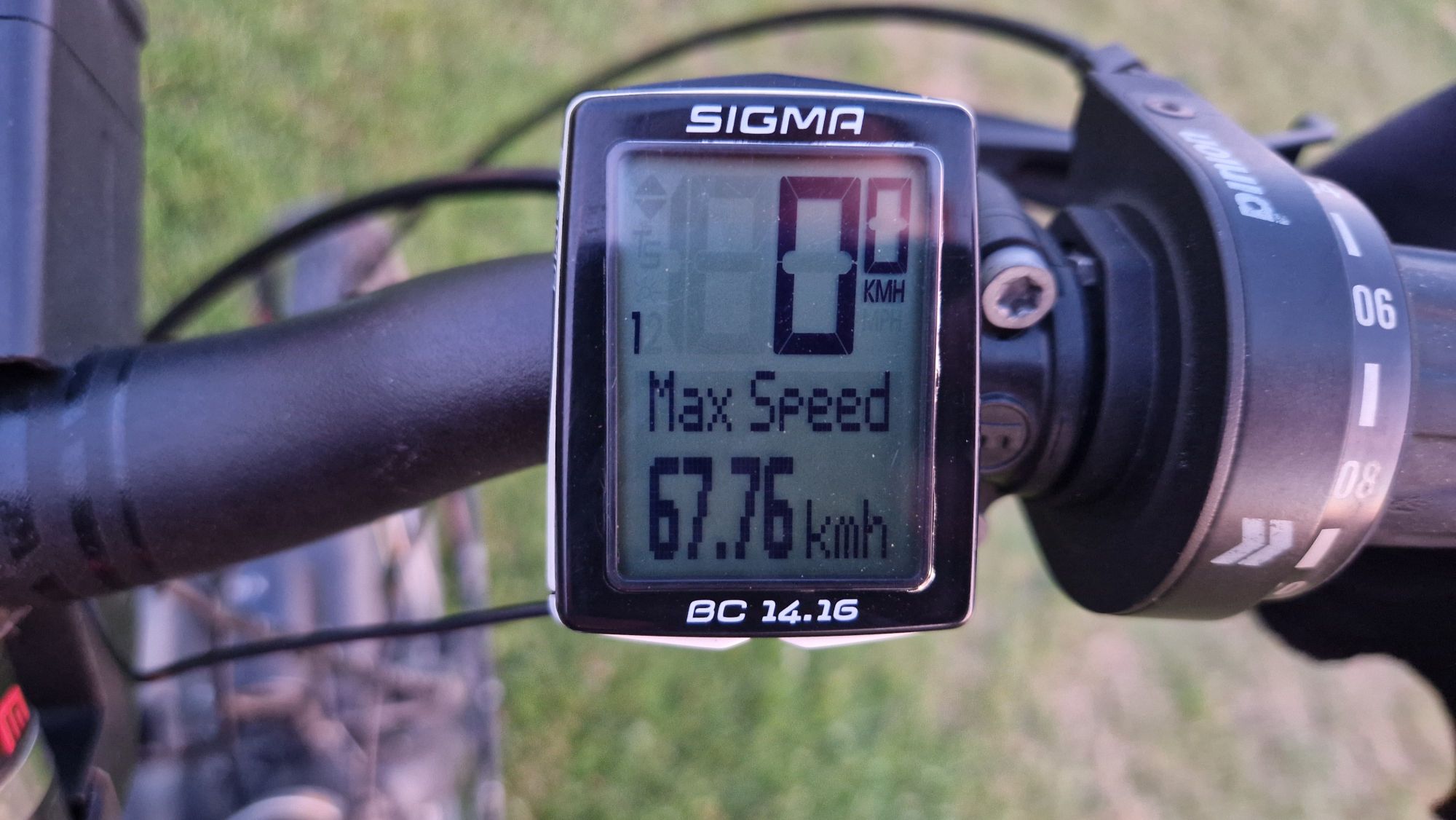
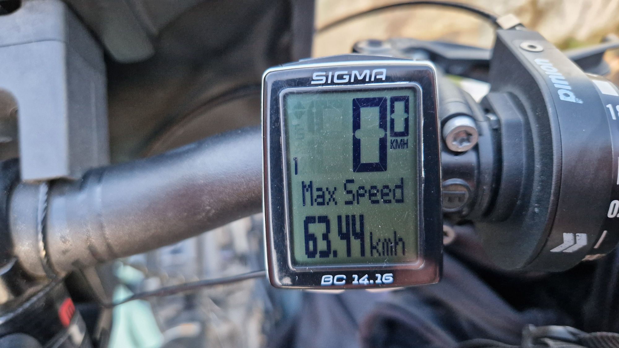
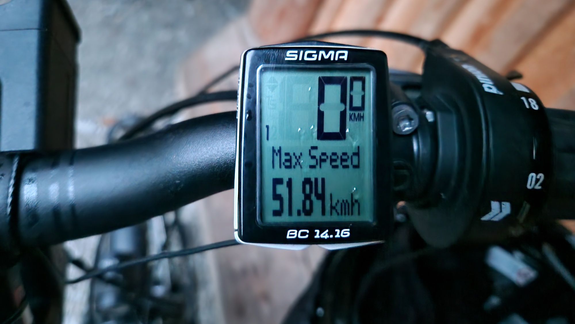
However, the route planning on a computer looked very easy but was hard to execute on-site. I’ve miscalculated the distances with errors of as high as +30%. For example: a 100 km daily cycling distance estimated by the map tool proved to be 120-130 km at the end of the day. I didn’t have experience with hills and what average speeds to expect. Now I’ve got some data for future tours… terrain with hills: 10-11 km/h on average, flat terrain: 14-16 km/h on average. It is easy to be wise after the event!
The previous bike tours to Denmark helped me a lot to estimate the travel effort. Having some knowledge Denmark’s roads, terrain, people, accommodation and railways made it much easier for me to travel. The first two days at Malmö/Copenhagen proved to be necessary, because starting such a tour on arrival would have been rather difficult: preparations and packing all the stuff took me about three full days and the immediate journey from Braunschweig to Travemünde via regional trains was very stressful. One has to calm down a bit in order to get in the mood and start a bit relaxed.
Starting the tour
The first three to four days on route are usually used for adaption to the new country and terrain. Trying not to overstretch, getting a healthy routine and finding out the right speed are the primary goals. If anything hurts – no problem, as long as you don’t ignore it and try to overcome it with painkillers. I had some problems with my toes on the feet during the first couple of days. I took care of it and it was gone. Getting a healthy amount of sleep (6-7 hours) every night was very important for the cycling performance. I was able to cycle 100 km per day on a constant basis, sometimes 120-130 km per day were possible without having pain in my legs. That kind of performance was necessary, otherwise the planned schedule would have been in vain.
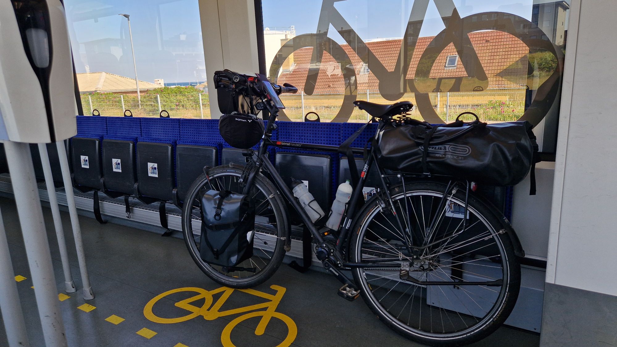
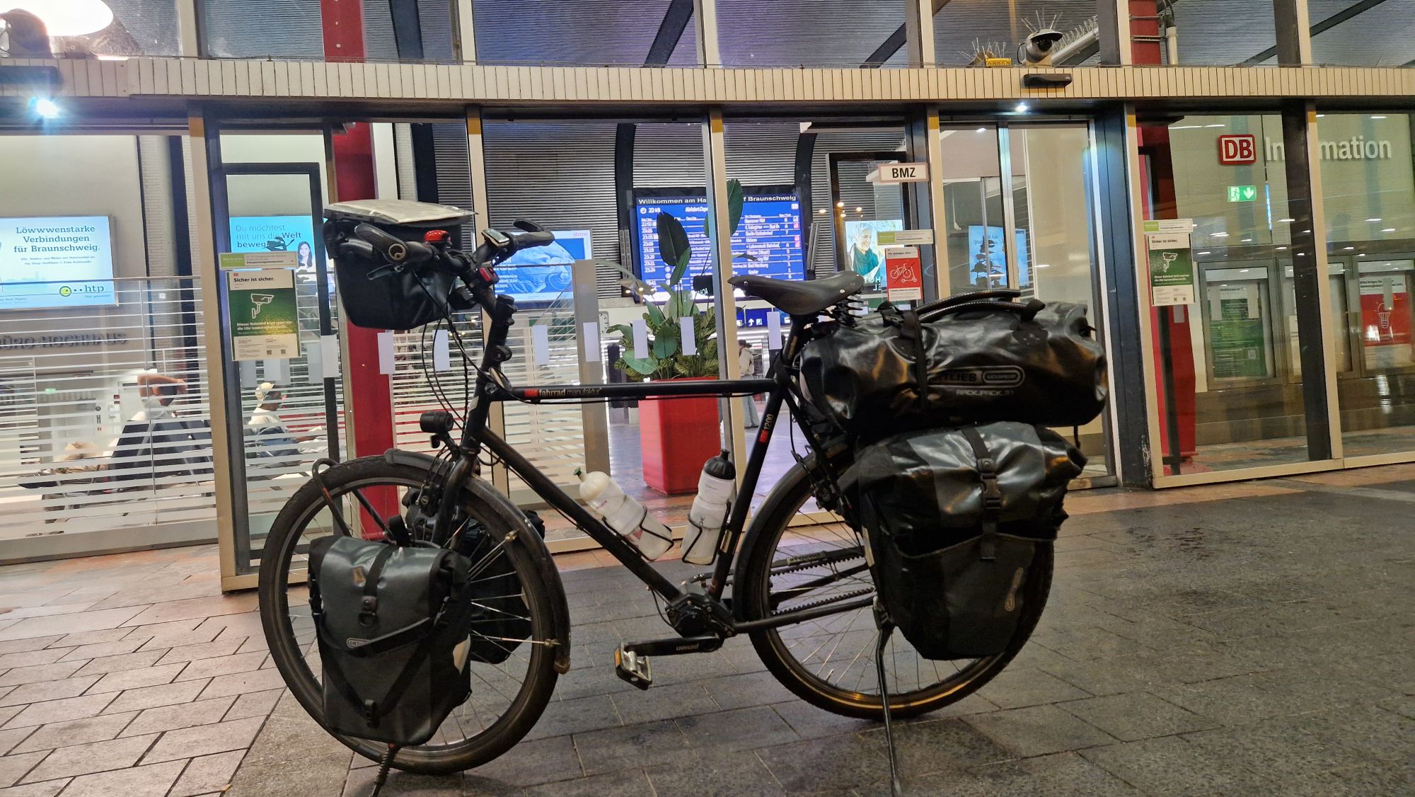
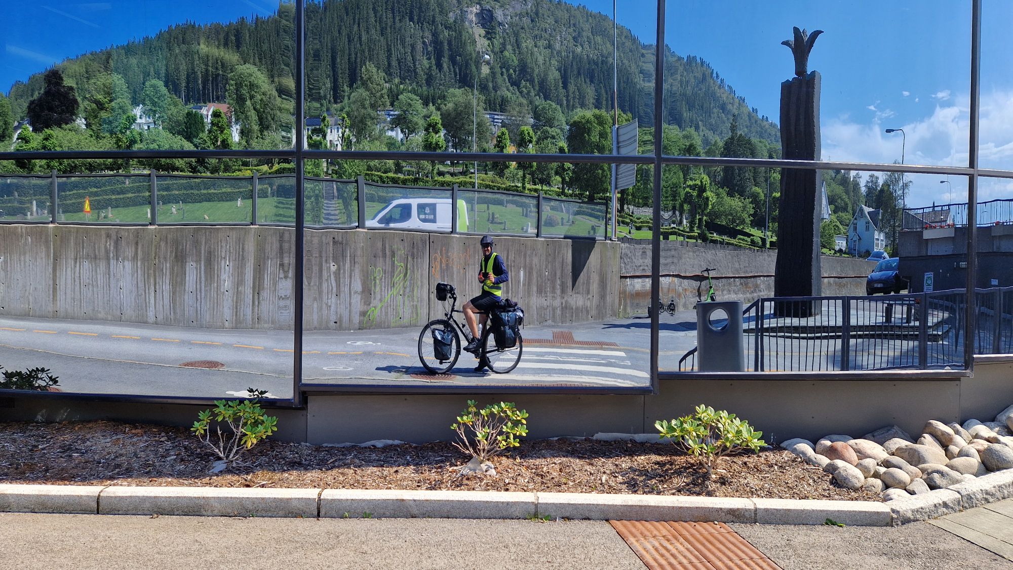
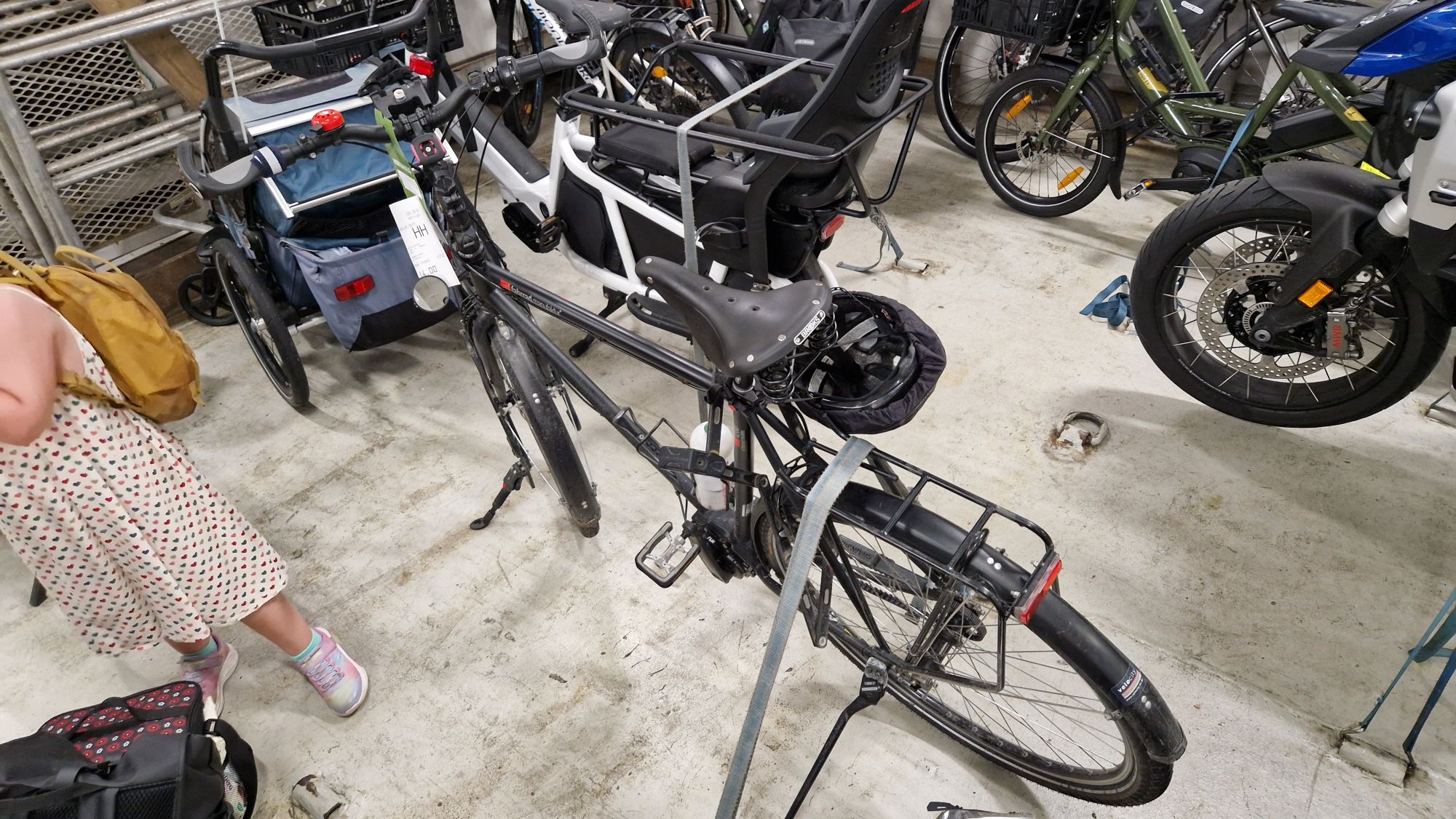
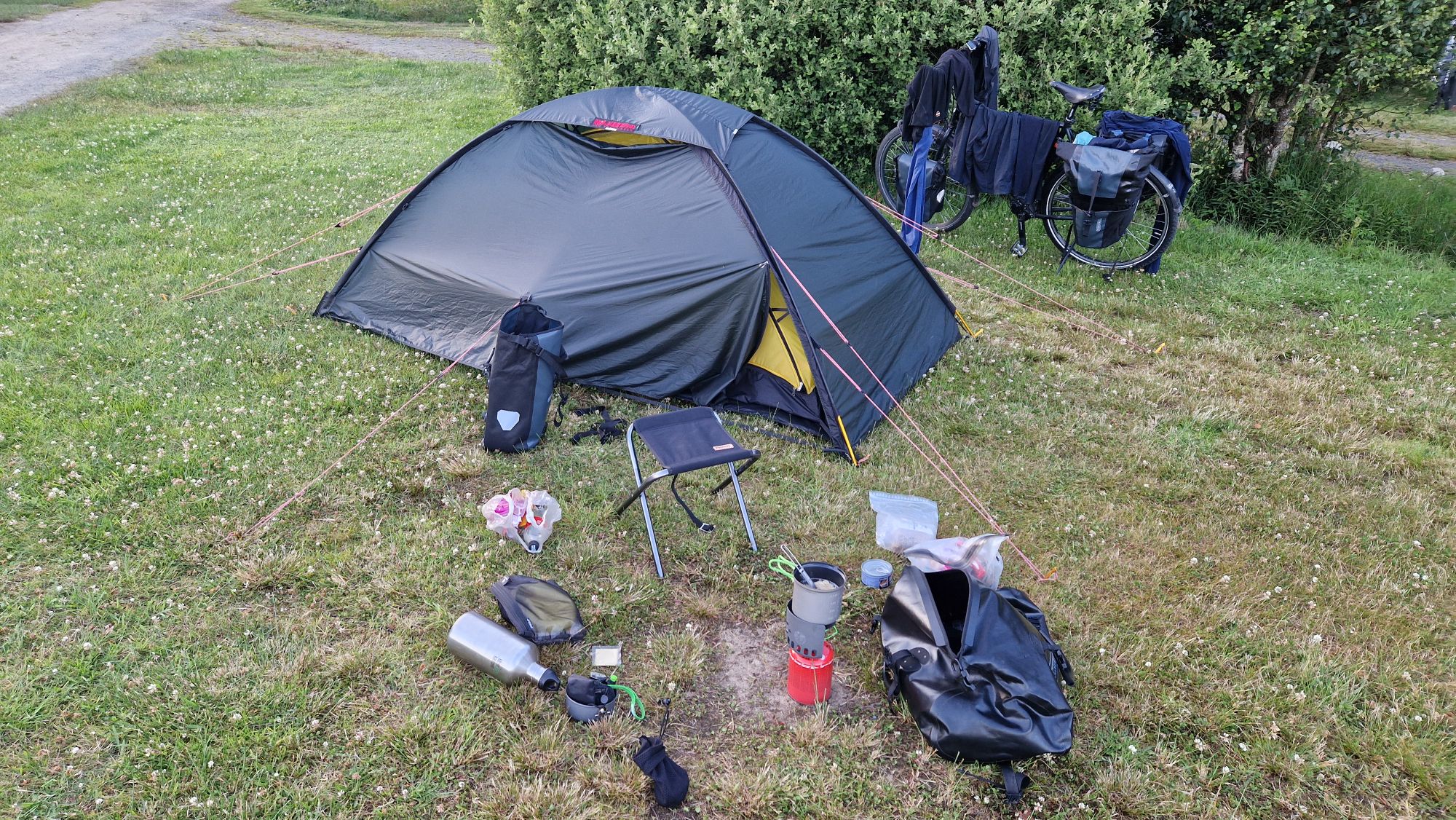
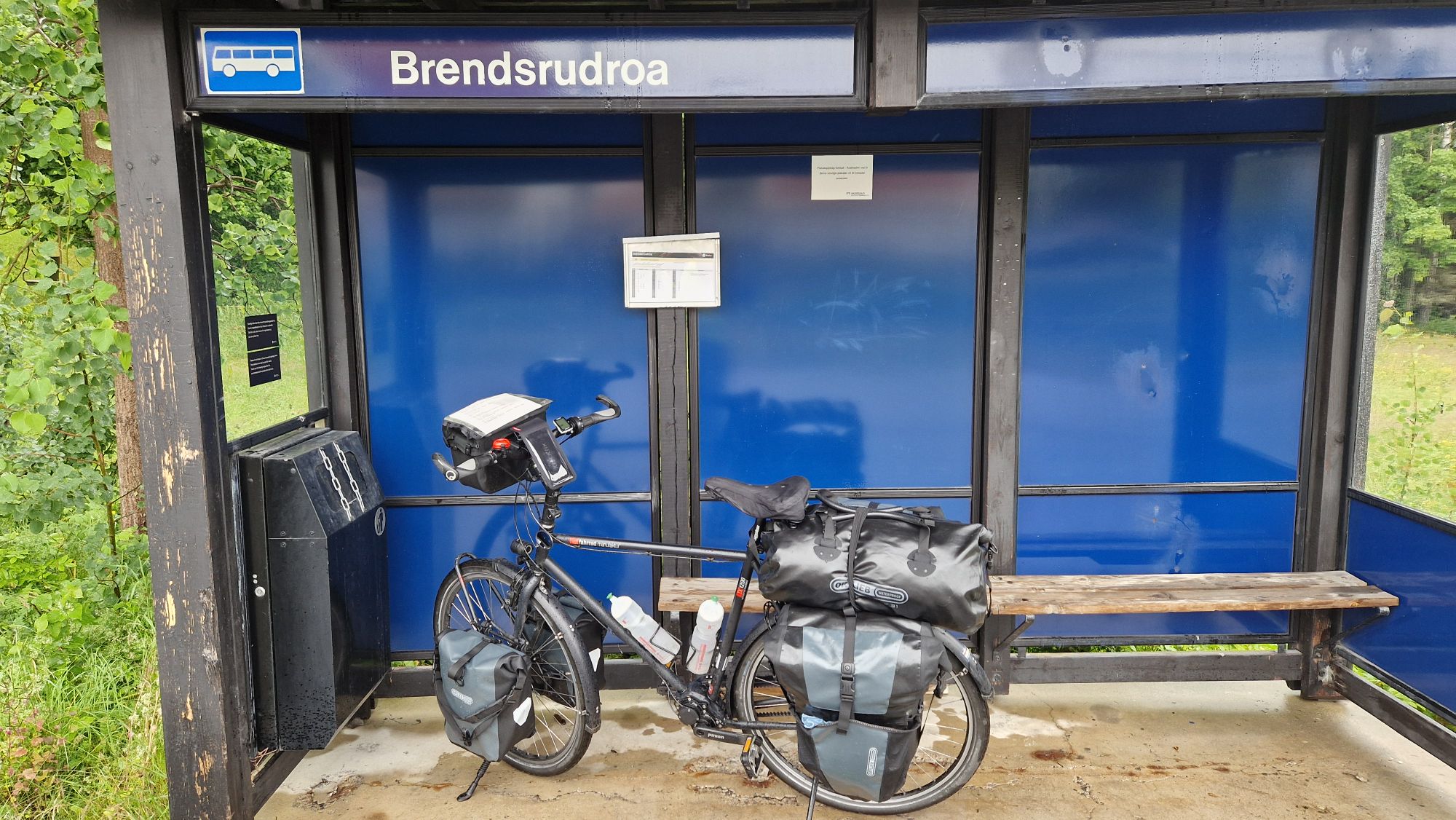
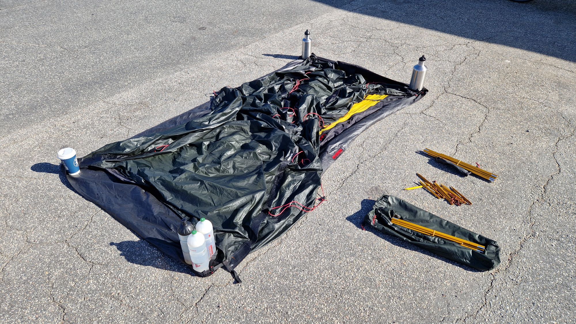
Riding a bike with too much weight
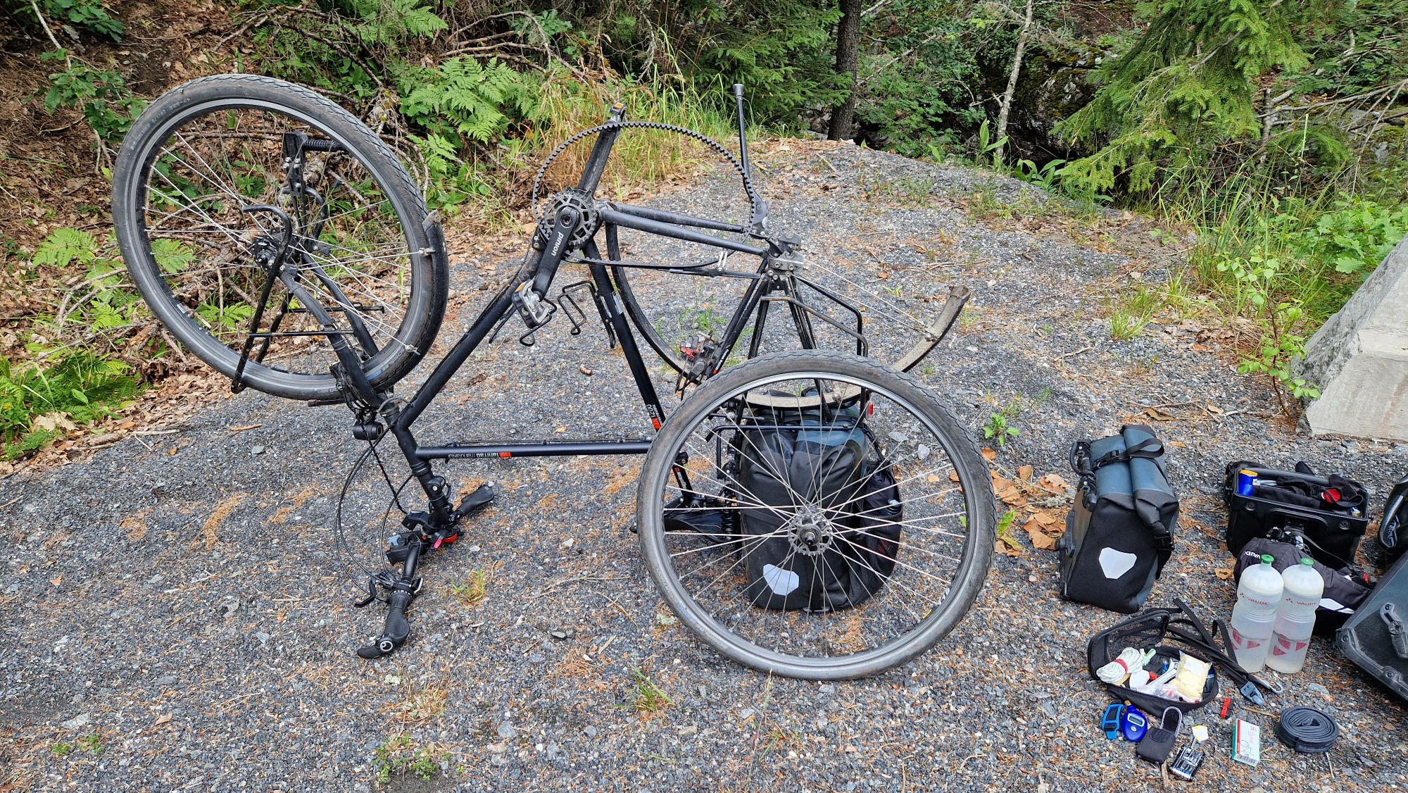
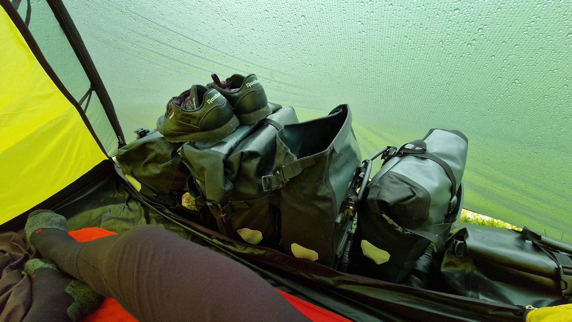
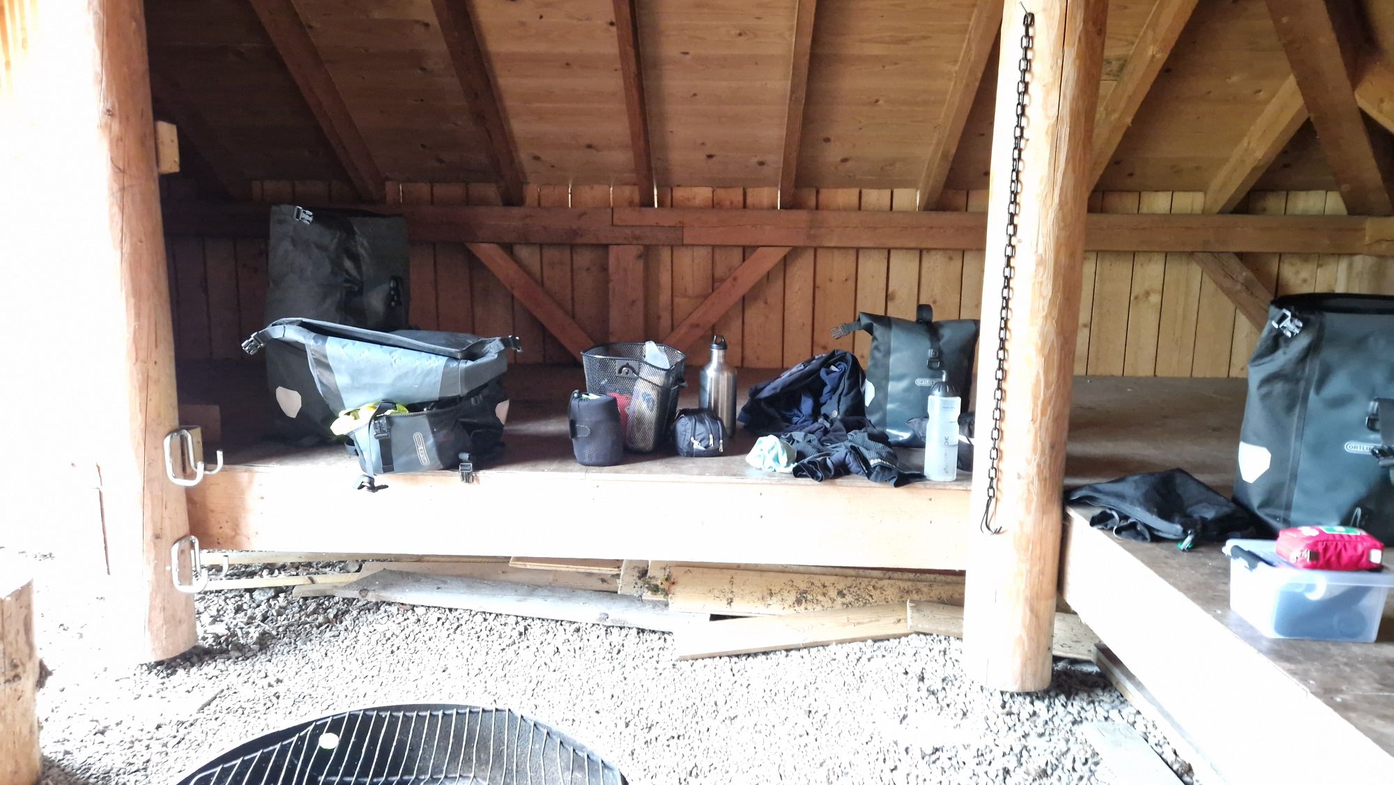
One major problem I had on route was a too heavy bike. The bike itself has some 18 kg. The fully packed pannier bags add some 25 kg, water and food may add another 10 kg of additional weight. So the total weight of me including the fully packed bike was up to approx. 140 to 150 kg! I always travel too heavy but this proved to be extremely difficult in the hills of Norway. I had to push my bike uphill a lot and tried to shed some weight by carrying a bit less food and water. I was considering of sending stuff back to Germany by mail but luckily it wasn’t necessary. I’ve carried a lot of unnecessary or unused stuff, such as backup clothing (“just in case” but the “case” came maybe with 5% chance), portable fan (for hot nights inside of the tent), a camping chair (used it only 3 times, great for full trains with no free seats), a basket (to keep the pannier bag in shape, worst decision ever), two steel bottles (for extra water, were sometimes useful but took too much space in the bags) and some other gadgets/tools (bags, tent pegs, USB cables, rags, …). The weather proved to be very favorable at 15 °C during nights and 20…25 °C during days. I’ve used my sleeping bag on three occasions in some shelters but most of the time I have used the Merino Wool Sleeping Bag Inliner as a “sleeping bag” inside of my tent. If it gets a bit colder at night, one can put on some additional clothes to stay warm, otherwise no “classic” sleeping bag is necessary. This can save up a lot of precious weight and volume and make life a bit easier.
For the future travels to Norway, I would have to lose some weight (down to 80…85 kg) and shed some equipment to get down to ~130 kg of total weight. This would improve my cycling experience a lot.
Bike performance, maintenance and technical difficulties
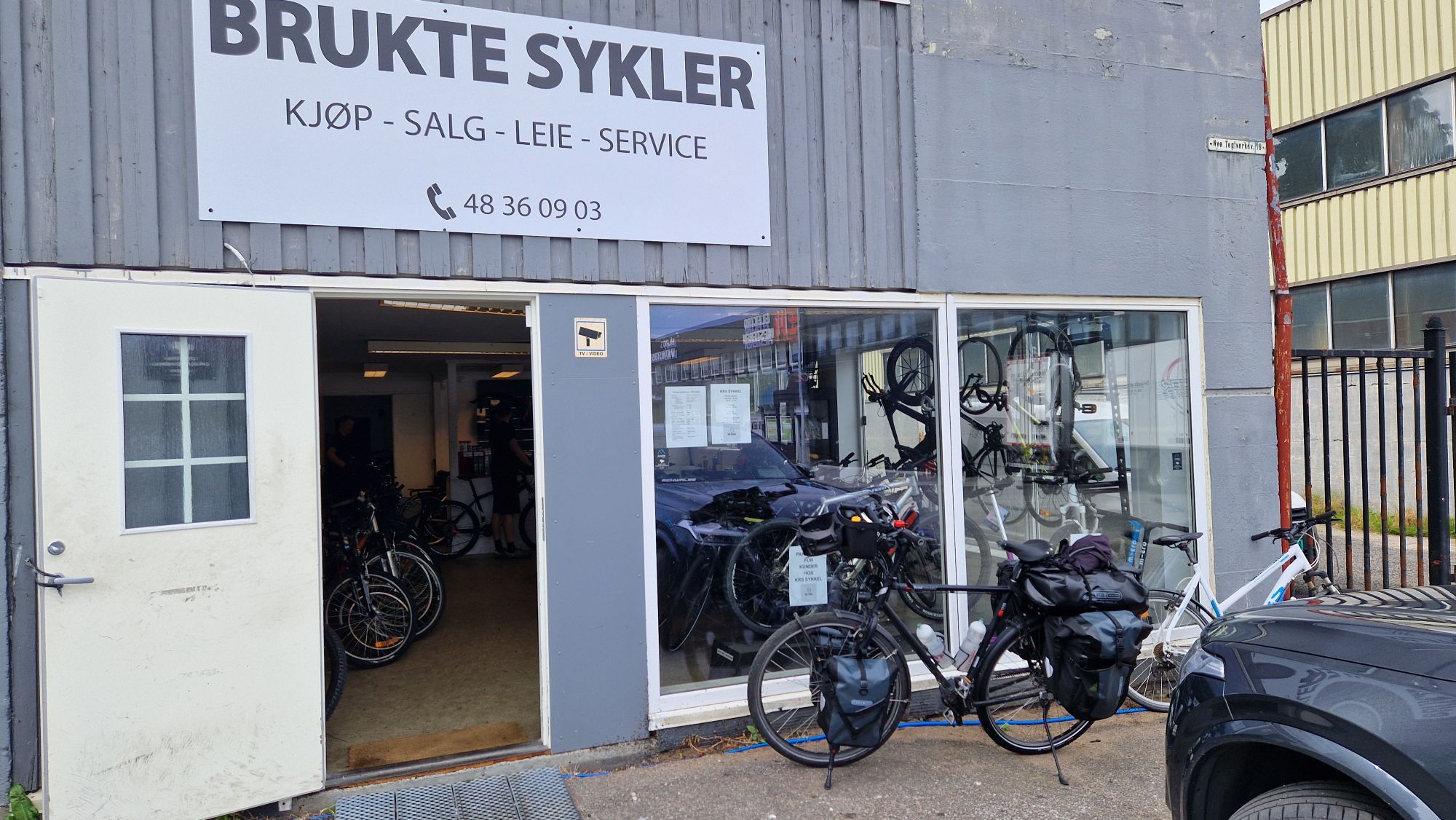
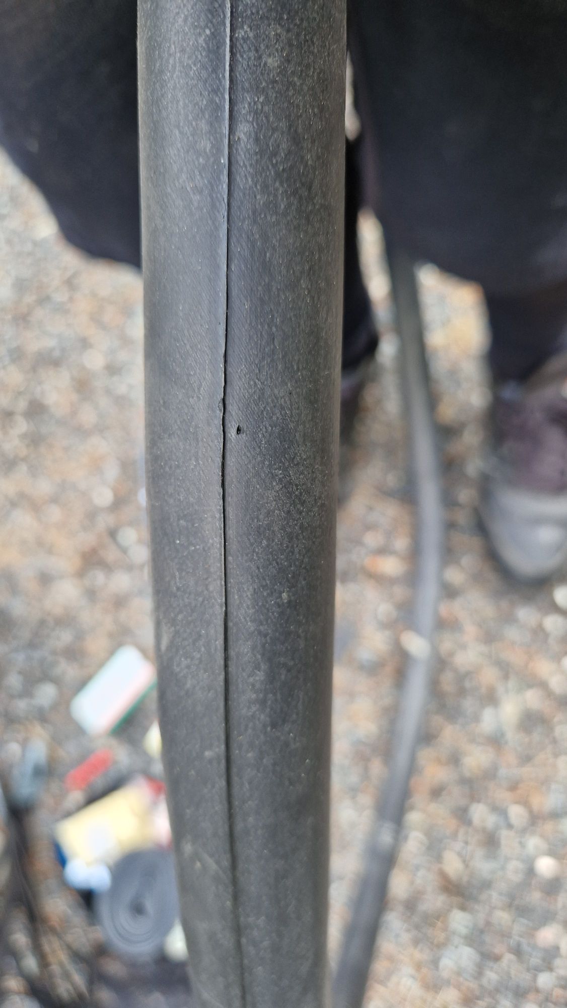
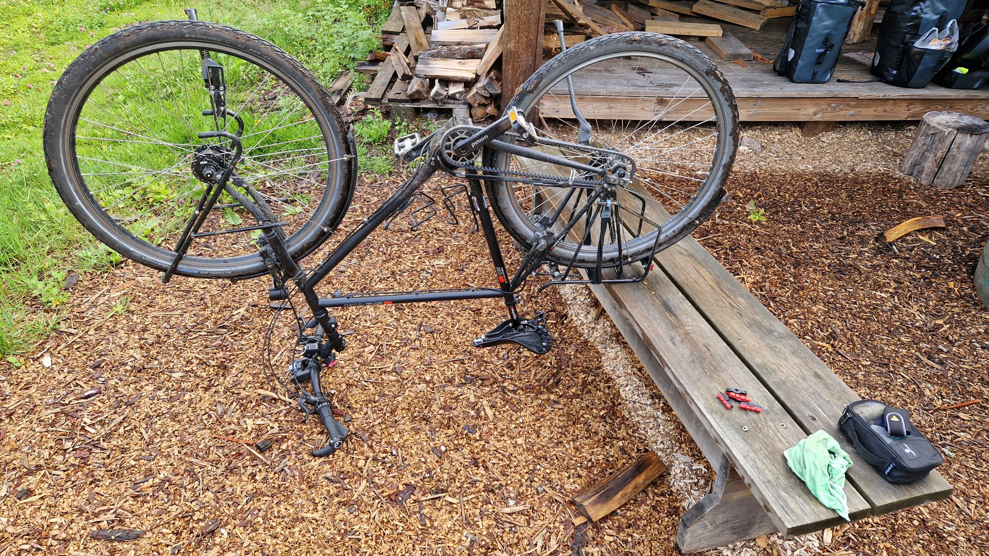
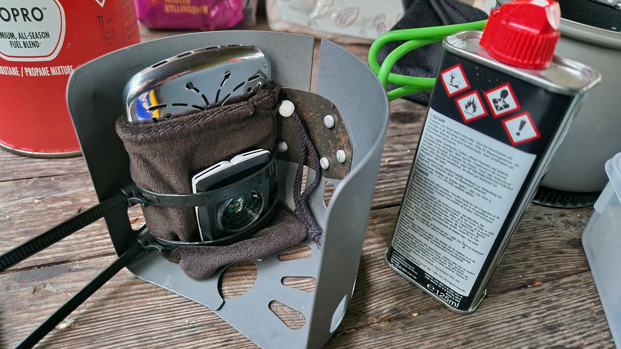
About 6 weeks prior to the tour, I’ve let my bike workshop inspect my tour bike, the vsf Fahrradmanufaktur TX-1200. They have replaced the front wheel, the pedals (both had worn-out bearings) and brake pads. Besides that, everything else looked fine. On route, I’ve had two flat tires on the back wheel due to riding a very heavy-loaded bike on coarse gravel roads. The little tiny and sharp stones sliced the tire over time and pointy shards were able to puncture the hose. I’ve replaced the tire and hose and had no more problems for the final ~300 km of the route. Another difficulty arised with the Pinion P.18 gear under heavy loads in combination with steep roads. Pinion is just great – I like it very much. It has some awesome properties I don’t want to miss anymore. However, when riding a 140 kg bike uphill in 10-15% slope in the 1st or 2nd gear, I’ve noticed some randomly occurring slippage, which is generally a bad sign. In order not to damage the Pinion gears, I’ve been cautious and pushed the bike uphill instead, some 20-50 meters before resuming the pedaling. There were no issues on flat terrain or hills up to 7% slope – lucky me. I’ll ask my workshop to look into this during the next inspection. Just be aware of the huge torques on steep roads – such conditions can easily damage any type of gear system (e. g. Roloff or Derailleur).
I’ve performed some minor maintenance on my bike during the tour. My Brooks saddle was greased every week due to heavy moisture (sweat, salt, rain). It’s necessary to keep the saddle dry and clean, otherwise it will start losing its shape or build up some cracks in the leather. The Brooks saddle was very comfortable and I could sit on it 8 hours per day without having soreness (however, try to change the sitting position every 20-30 minutes to relieve the buttocks, otherwise you will get a sore ass). It was necessary to replace brake pads once due to excessive breakings in the hills. The salty sea water spray caused some visible corrosion which needs to be taken care of. Besides that, I’ve greased the Gates belt every 200-300 km with the recommended spray. Some screws got a bit loose so I tightened them occasionally. Other than that, no further bike service or maintenance was necessary.
Camping, daily expenses and Allemannsrett
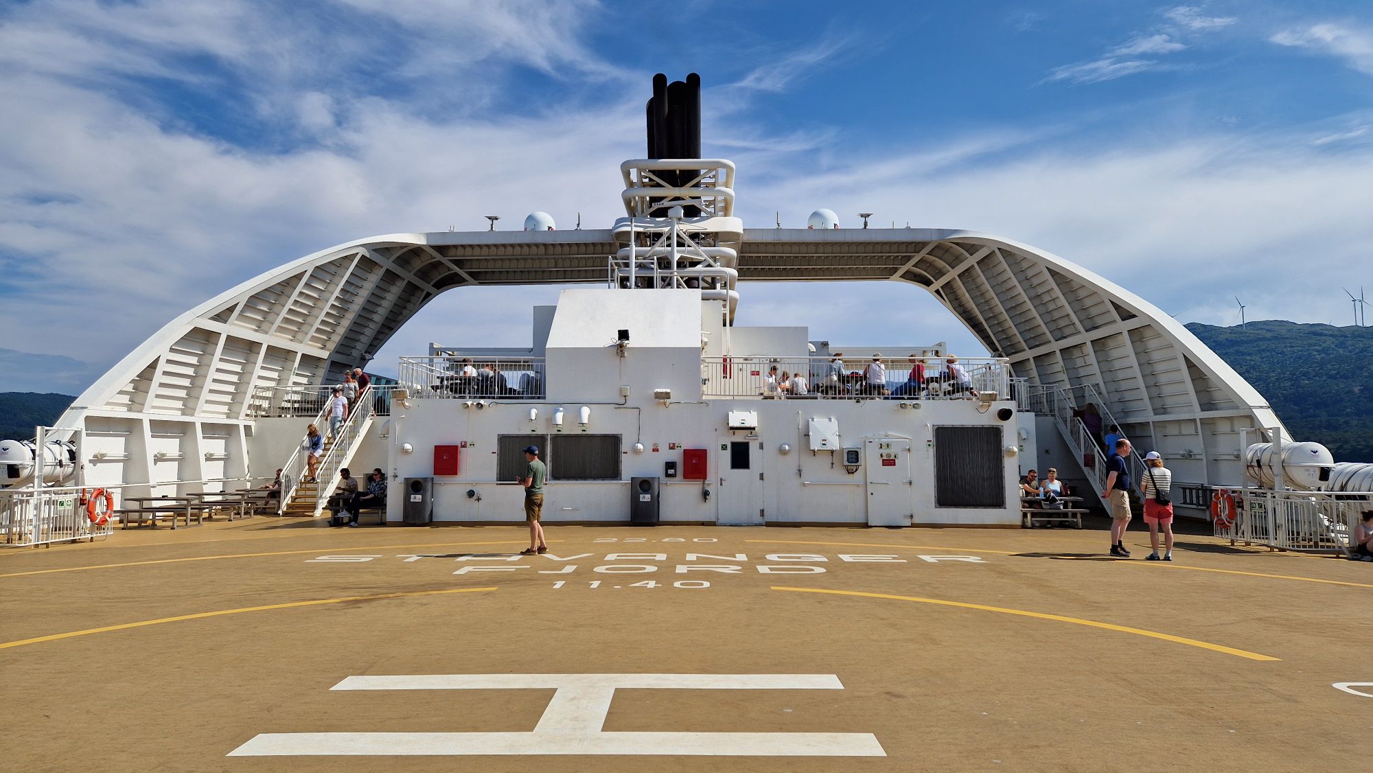
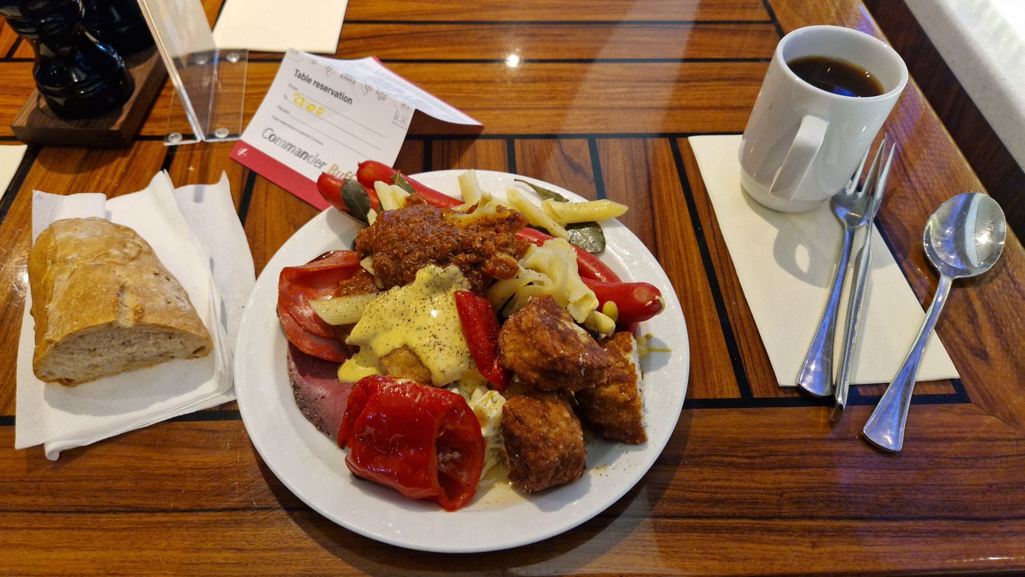
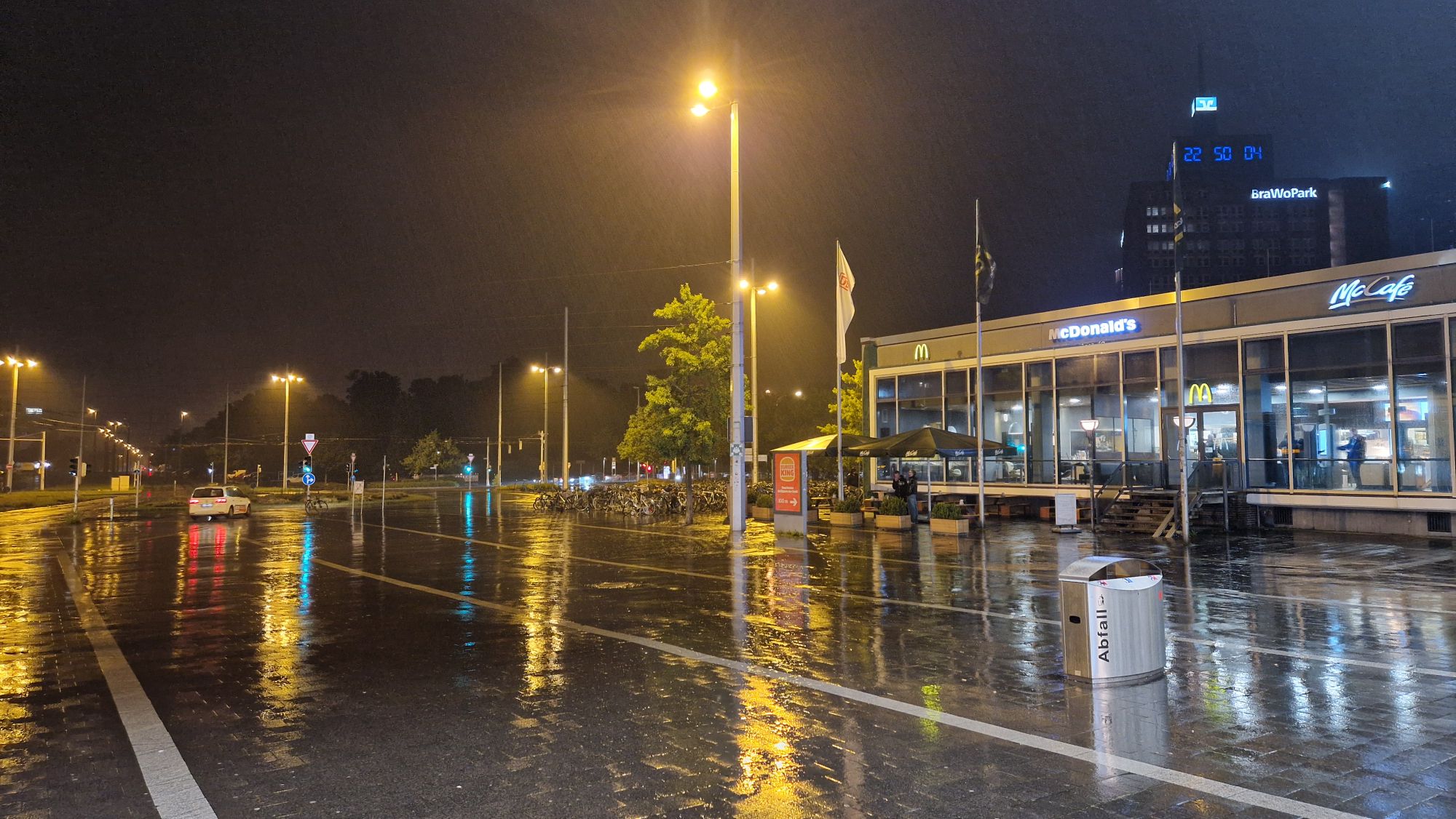
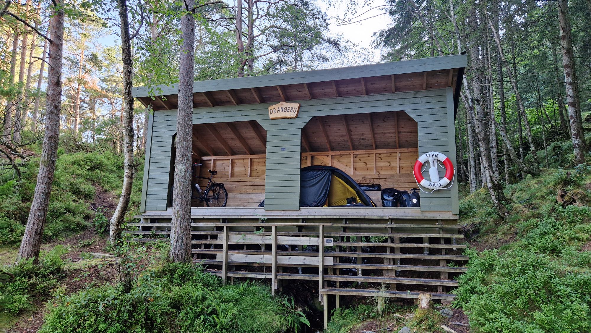
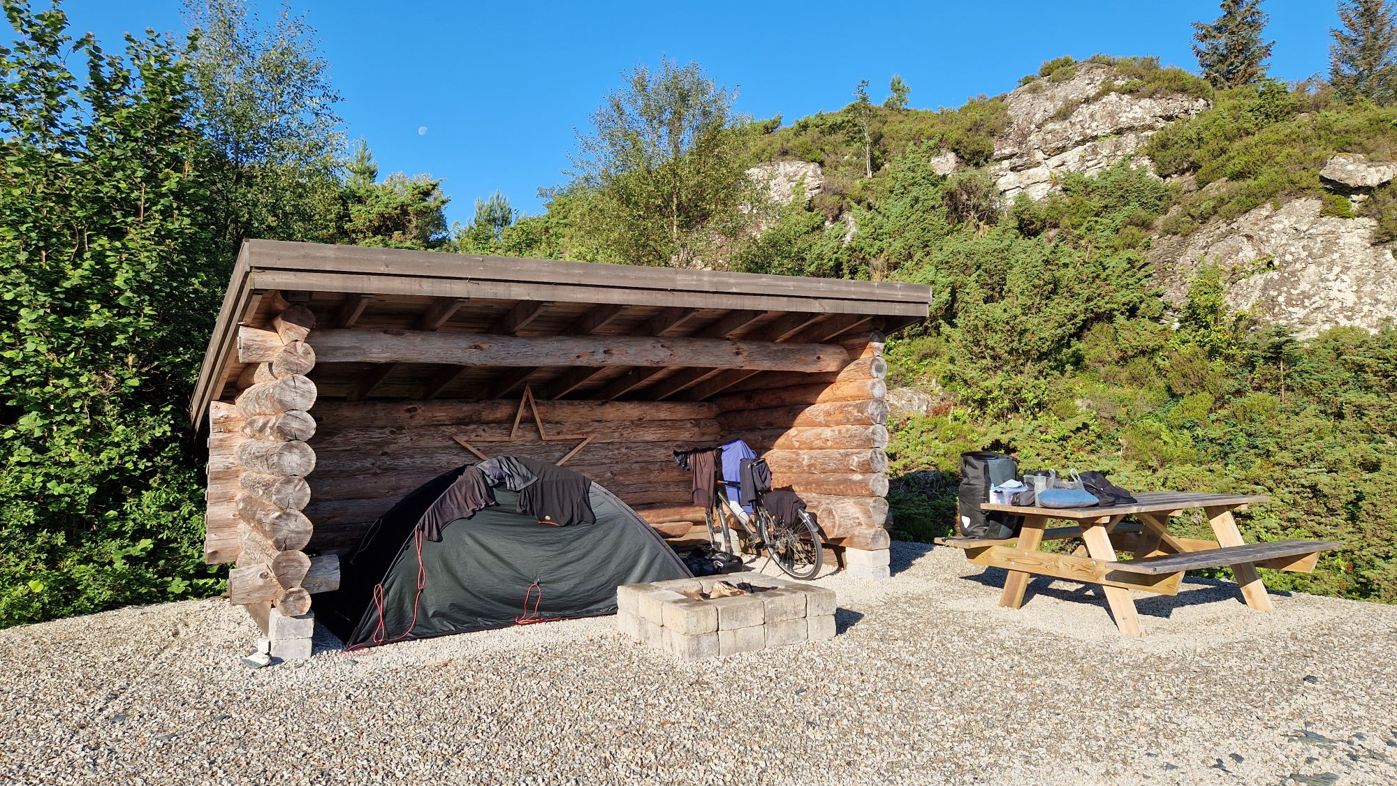
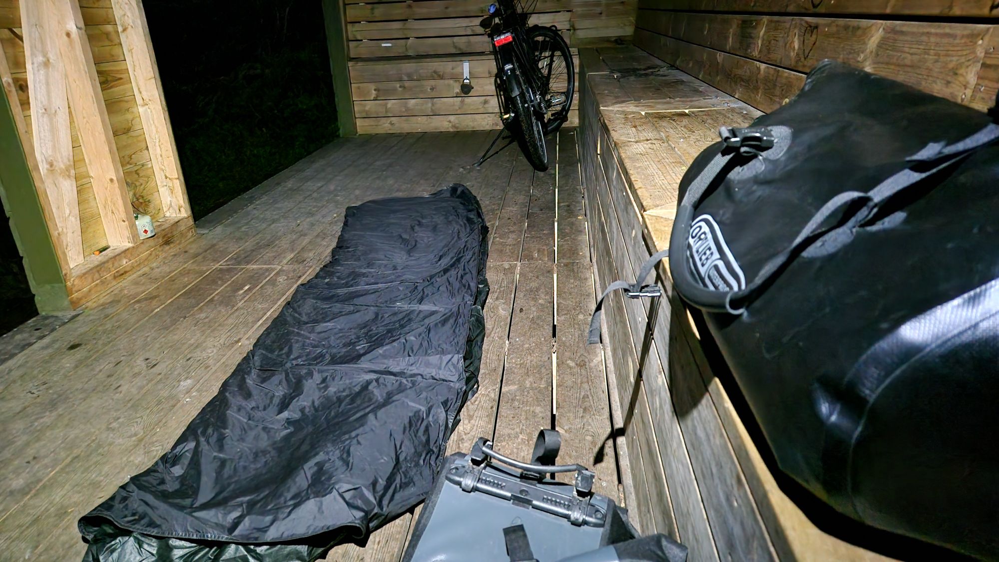
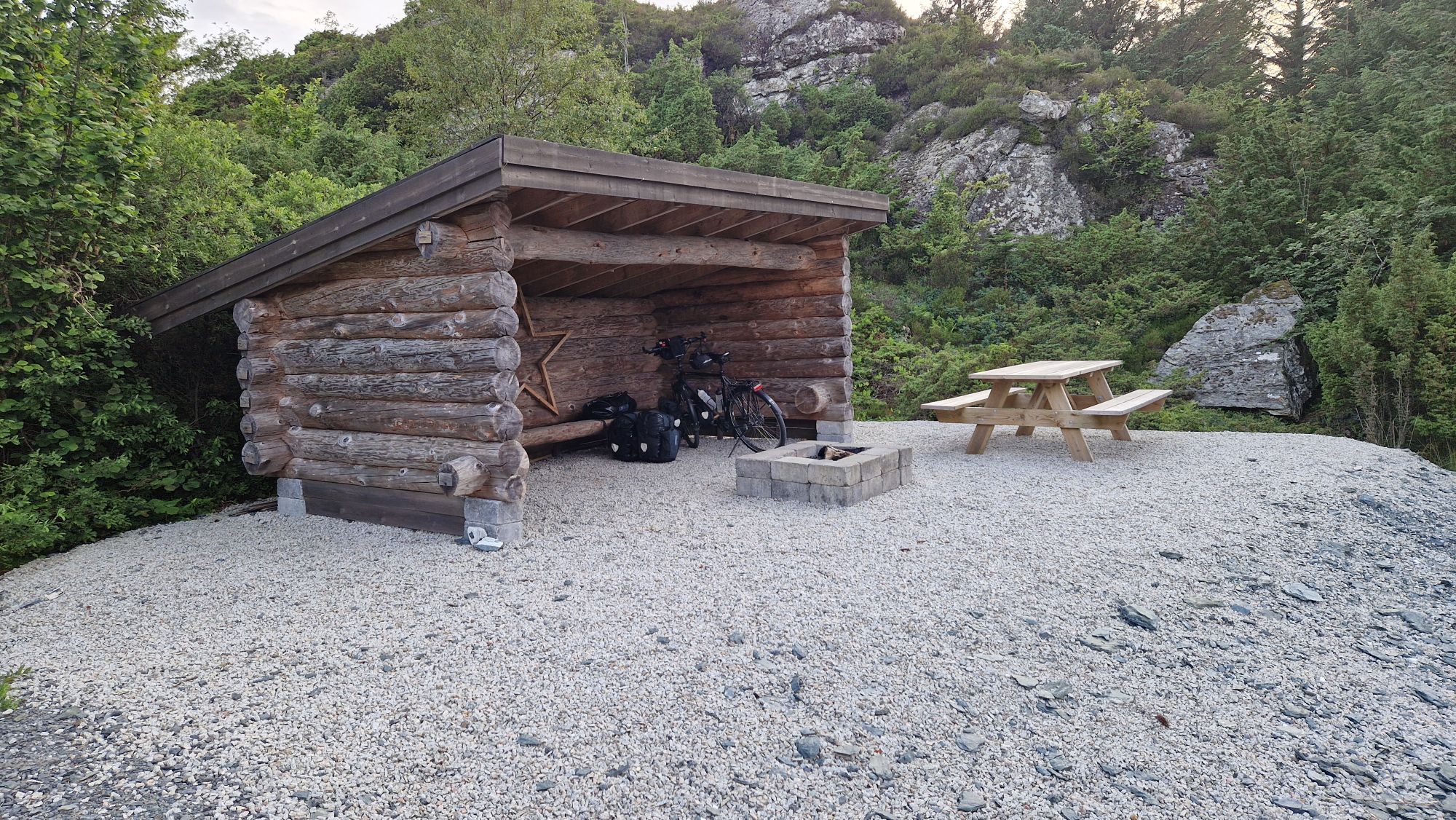
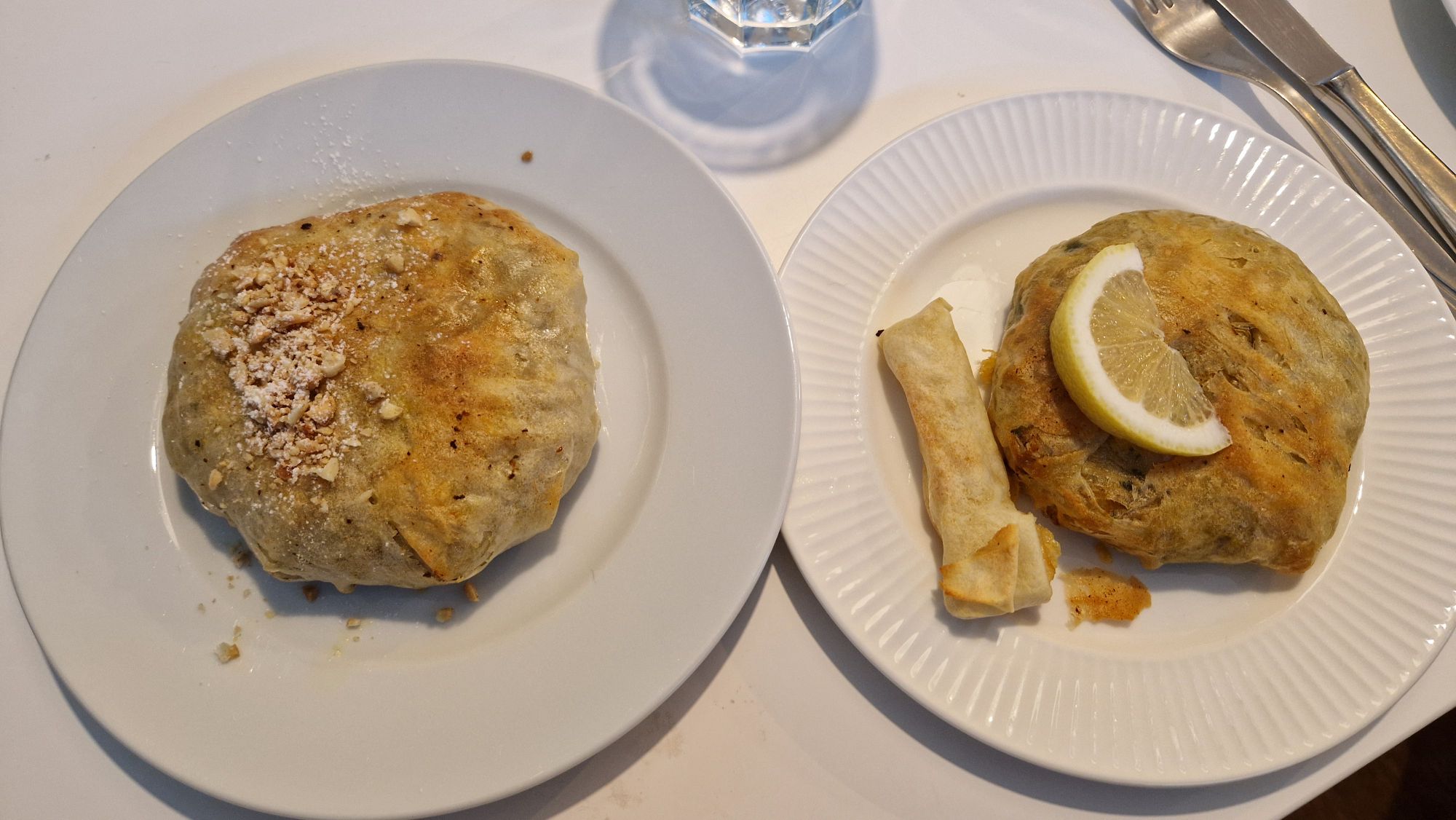
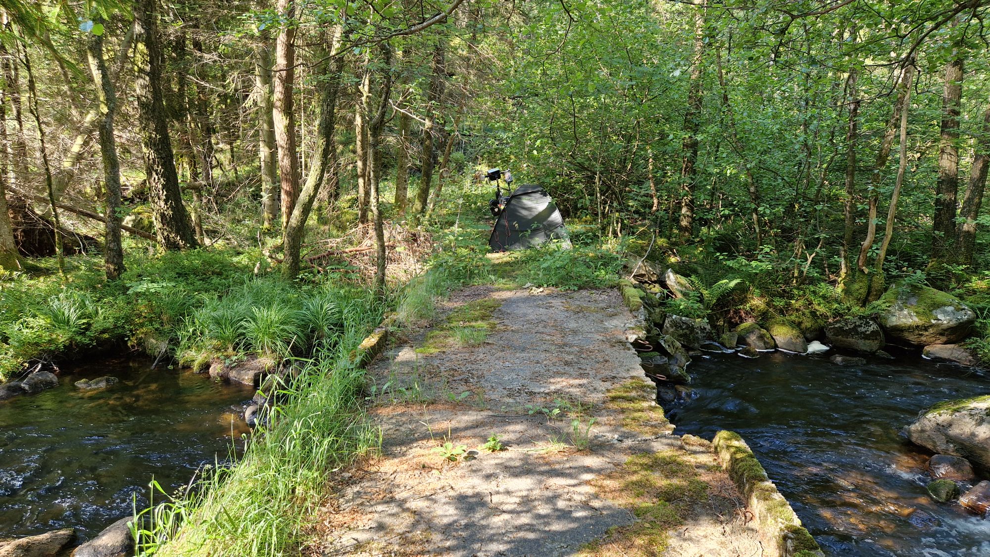
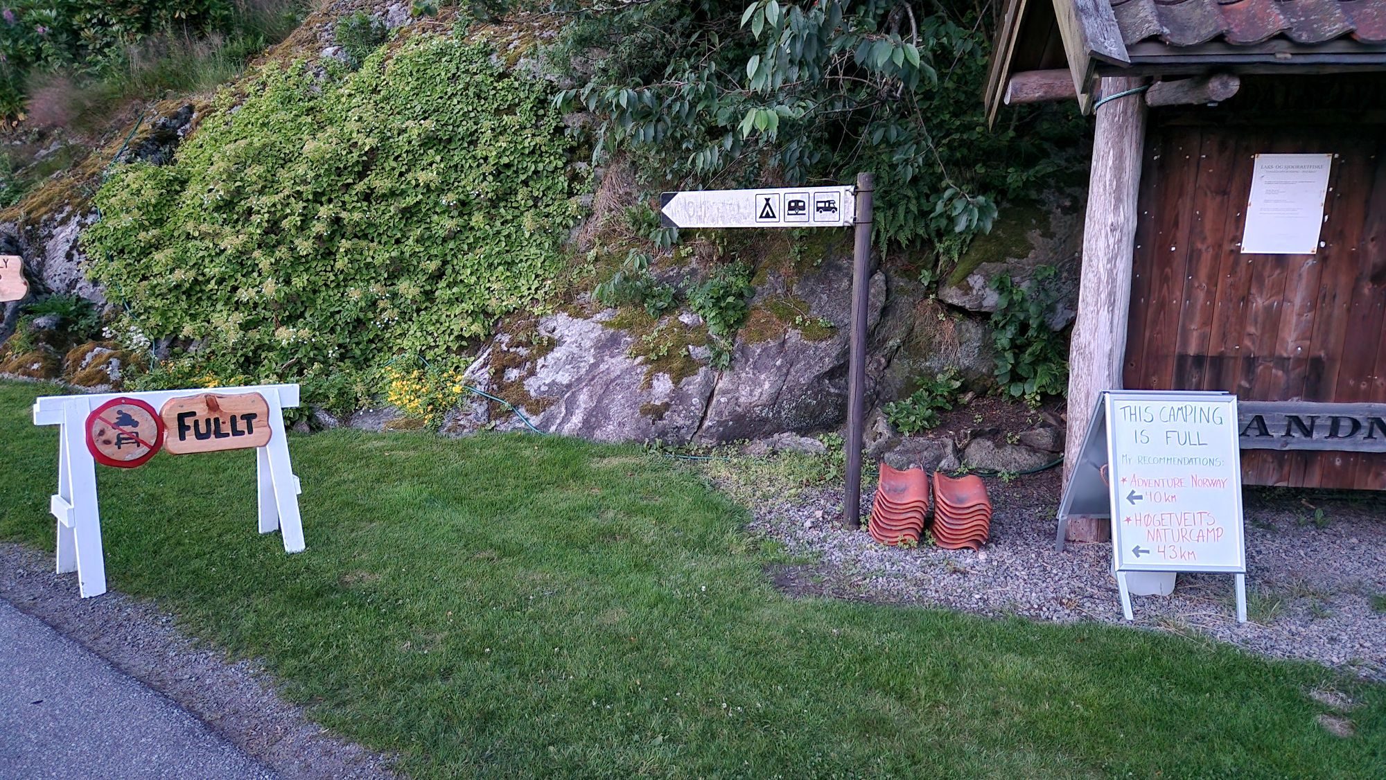
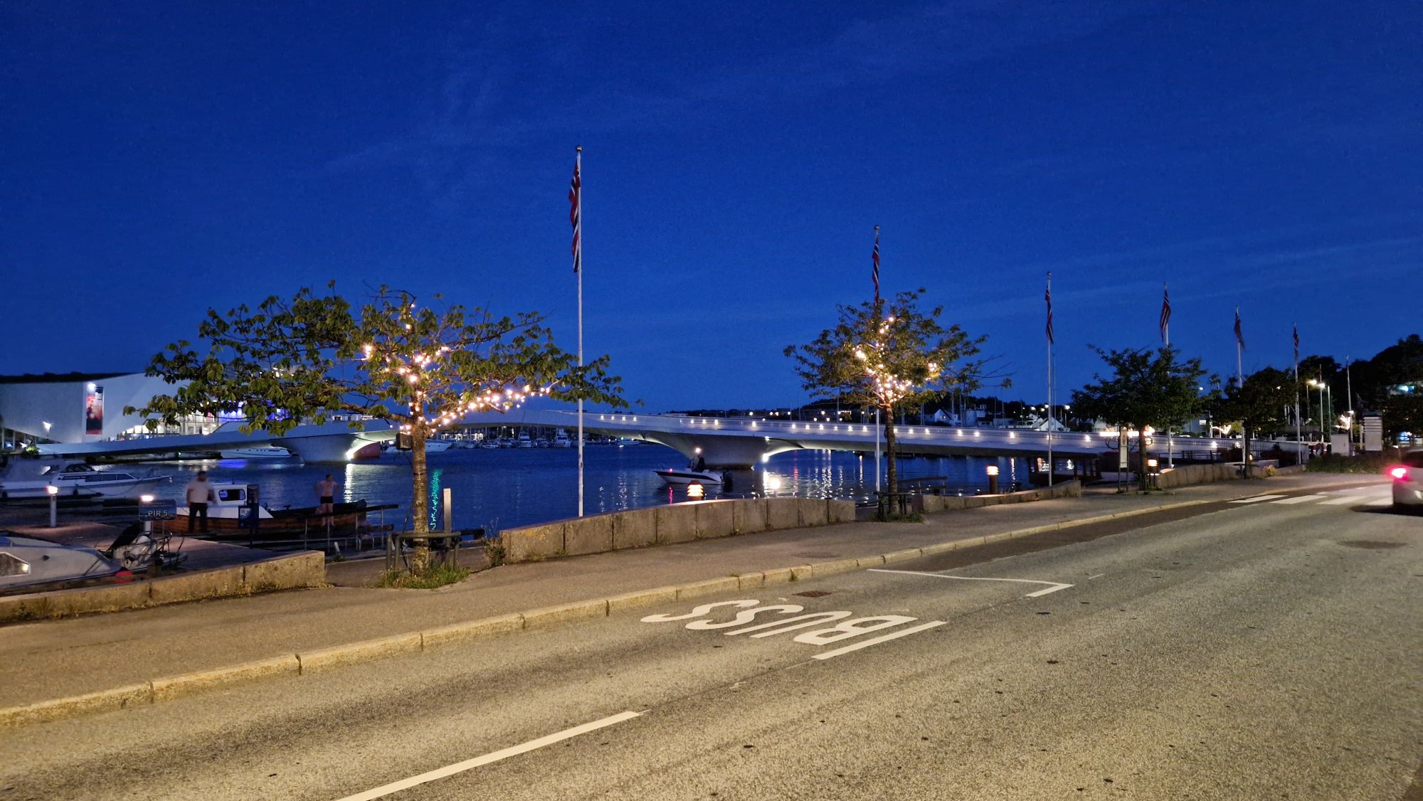
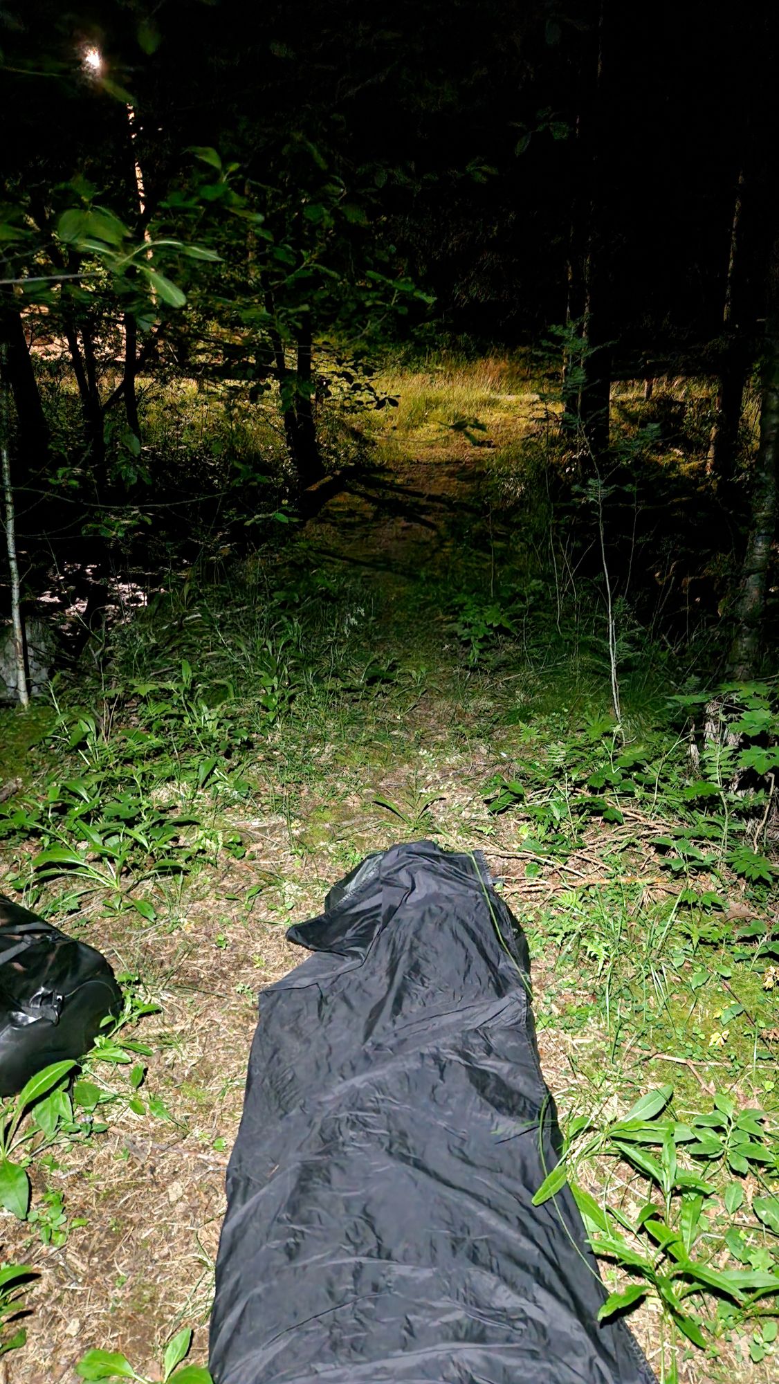
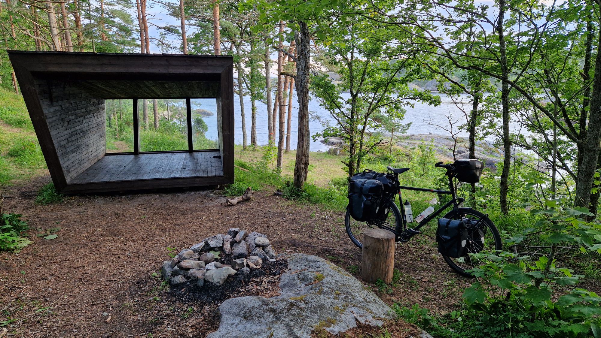
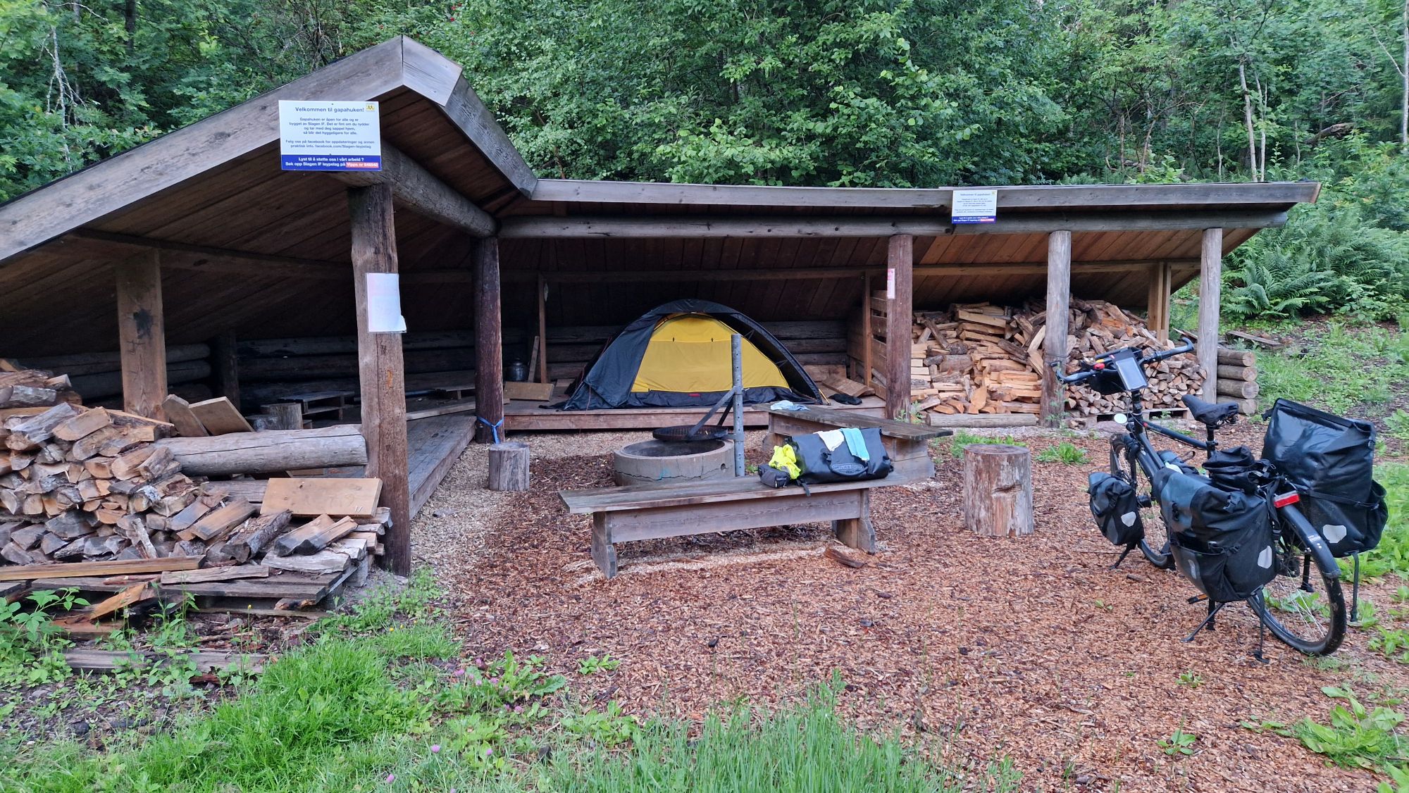
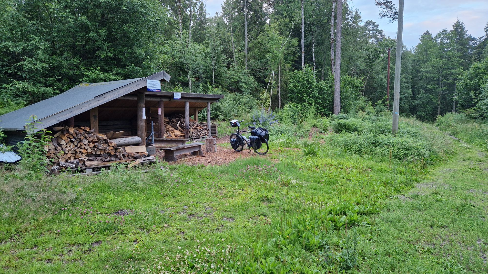
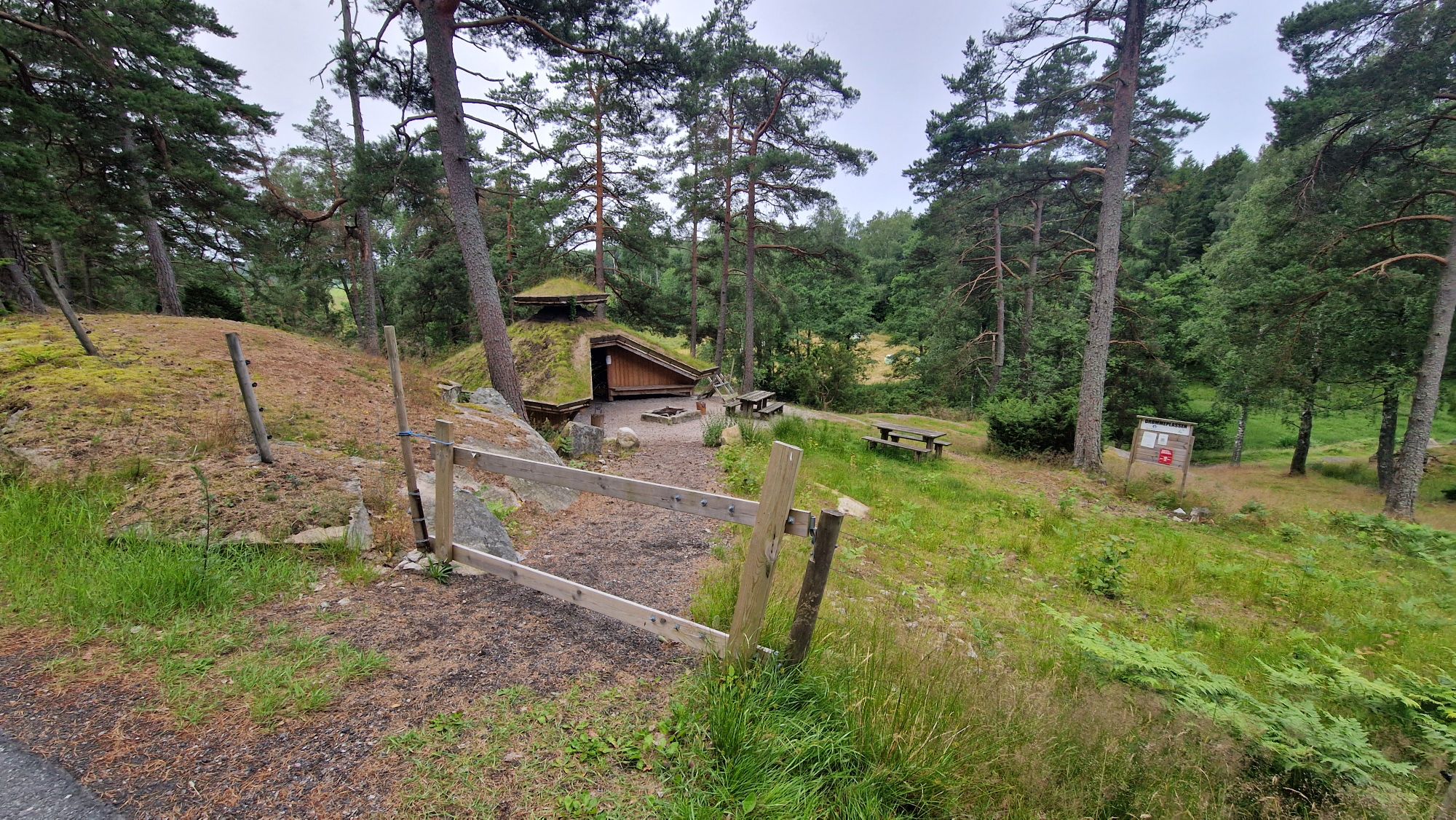
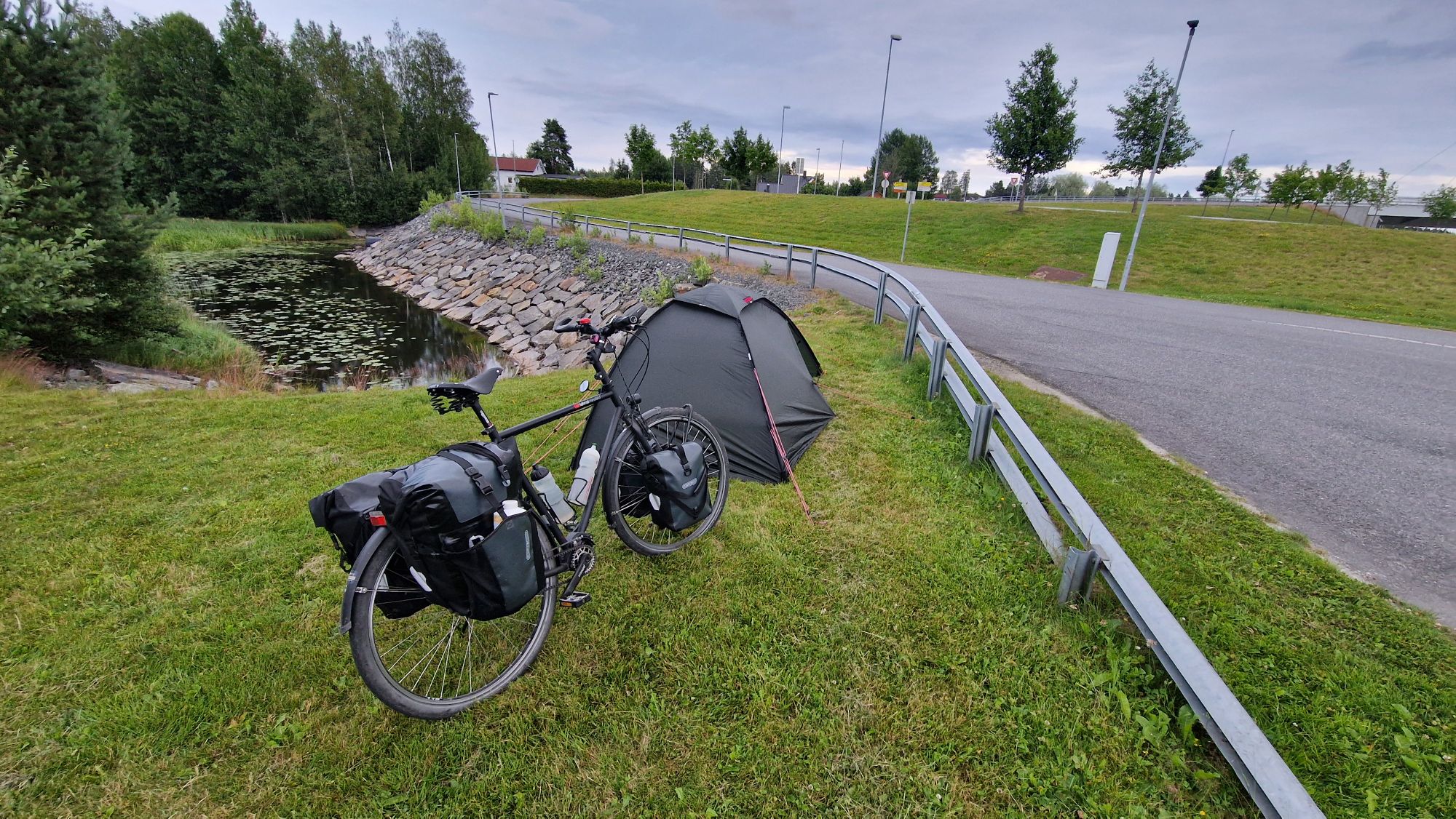
As I traveled with bike and tent, I spent most nights on camping sites or another places such as benches, shelters, forest and a parking lot. I took a two day stay in a hostel in Copenhagen but besides that, it was mostly camping. The camping prices in Sweden were moderate (20-30 EUR per person and night) and got really expensive in Norway (30 EUR per night, Oslo: 50 EUR per night). In Germany, a camping overnight usually costs between 15-25 EUR per person and night. So avoiding camping sites in Norway was necessary to stay in budget. Why? Because everything else is expensive, too! The food prices are also roughly 30% higher than here in Germany so it’s virtually impossible to keep the budget low if you plan to eat at restaurants. I’d estimate 30-40 EUR per person per day as realistic, however, the costs can double easily with “luxury food” and “premium services”. Other expenses such as transportation costs (by bus, ferries, trains, …), luxury money (eating at restaurant, having an ice cream) or emergency (repairs, replacement of equipment) should be considered in the price range of 300-500 EUR. I’ve spent around 400 EUR per week (= 60 EUR per day) on average and had around 600 EUR of travel expenses (trains, ships) in total. I could have saved some 20% by not buying stuff at gas stations or buying luxury food such as expensive chocolate bars… anyways, I think it’s fine.
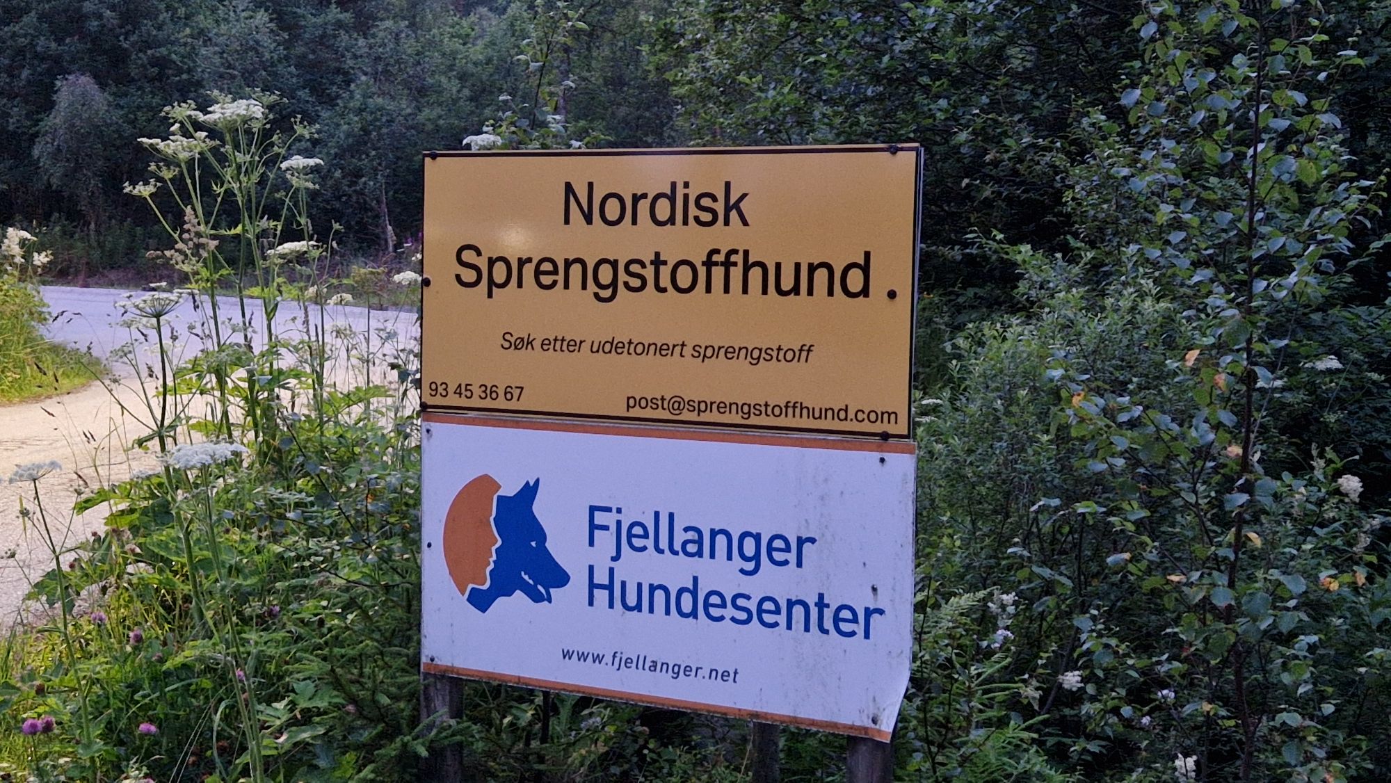
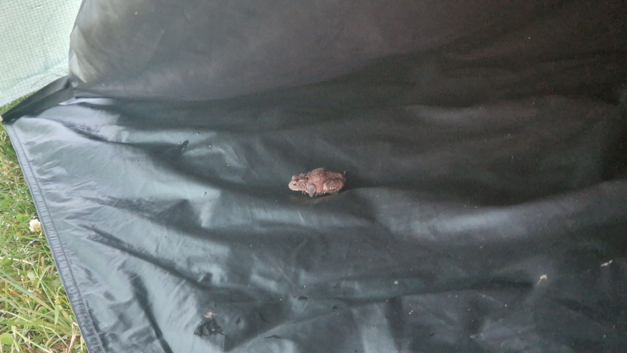
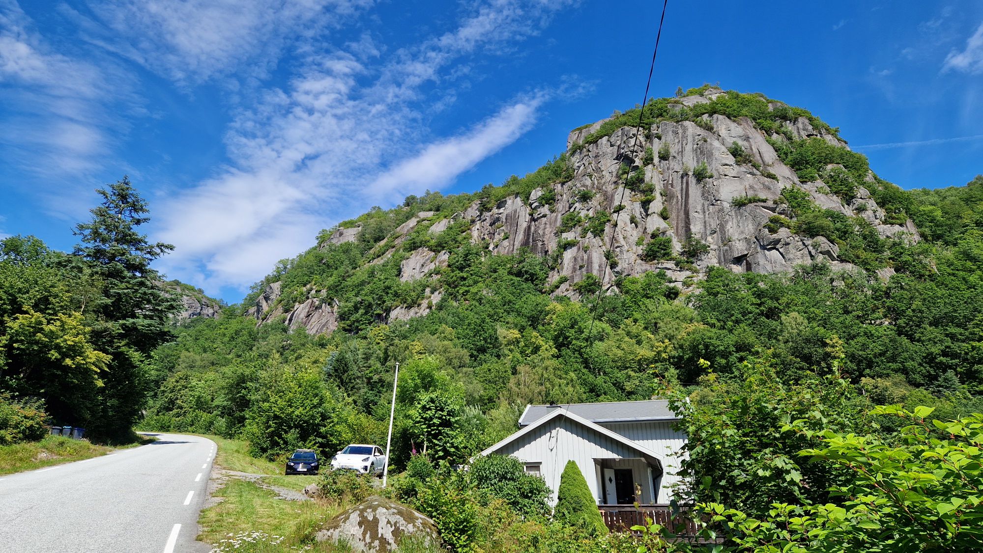
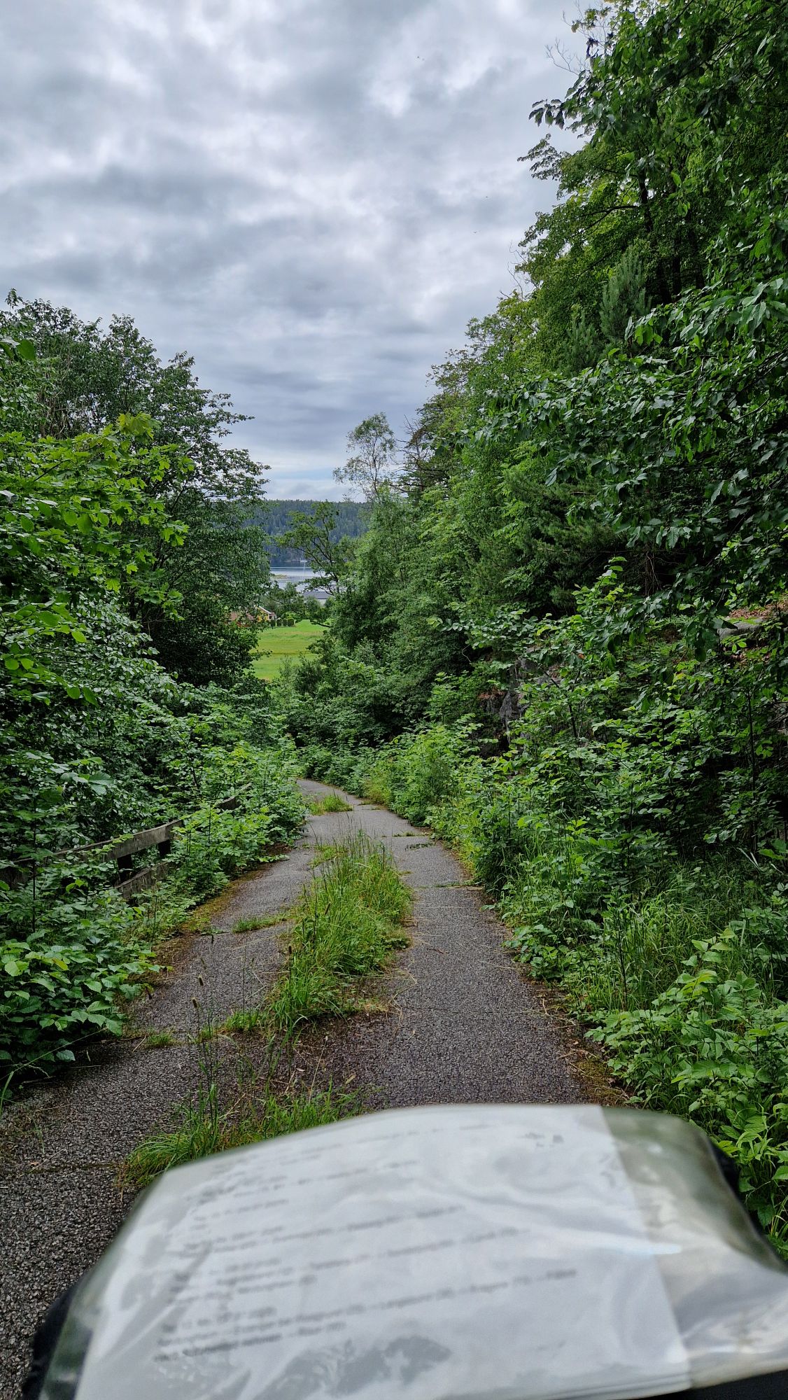
The Allemannsrett I’ve expected was a bit different from what I’ve found on route. I’ve found many privately owned properties or signs with “Camping forbidden” where you aren’t allowed to camp over night. Those were exceptionally present along the touristic spots and along the Route 1. About 10 km outside of a town, and perhaps some few kilometers off-route, one could find very nice and appealing camping spot – perhaps at a lake. However, this heavily depended on the region and terrain. I couldn’t take my bike on steep hills or find a camping spot in a bush. The mosquito plague wasn’t as bad as expected. I was visited by them but sleeping in a tent helped a lot. I had some luck with pecks (killed them before they could bite me) and inspected my body two times per day for any intruders or parasites. The insects aren’t our enemies (except mosquitoes), they are just looking for a food source and being lured by our presence (e. g. breath, scent, noises). The bushcrafters on YouTube can give you some tips how to behave correctly in the forests and how to deal with the insects. Just be aware of this – better be safe than sorry.
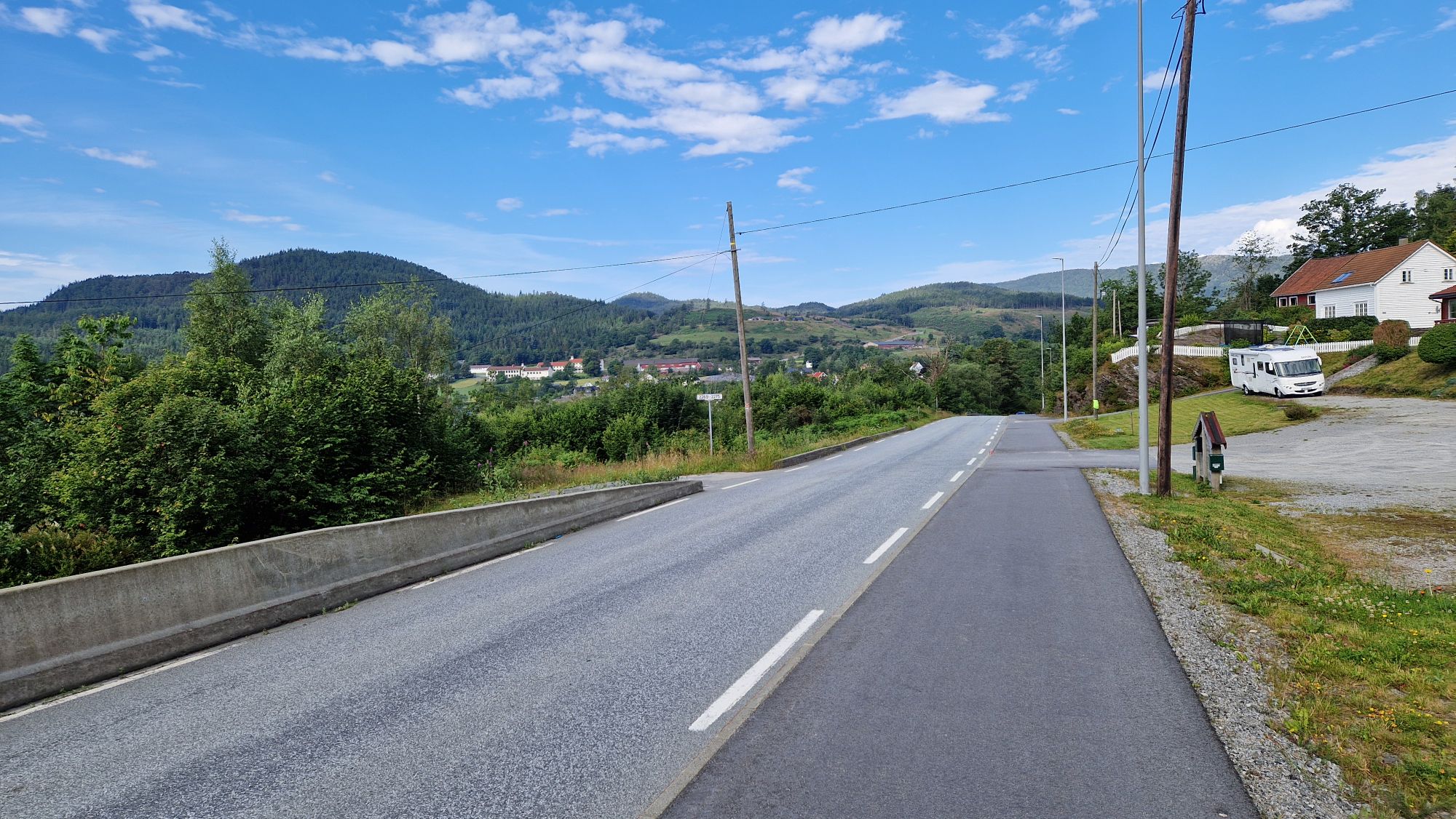
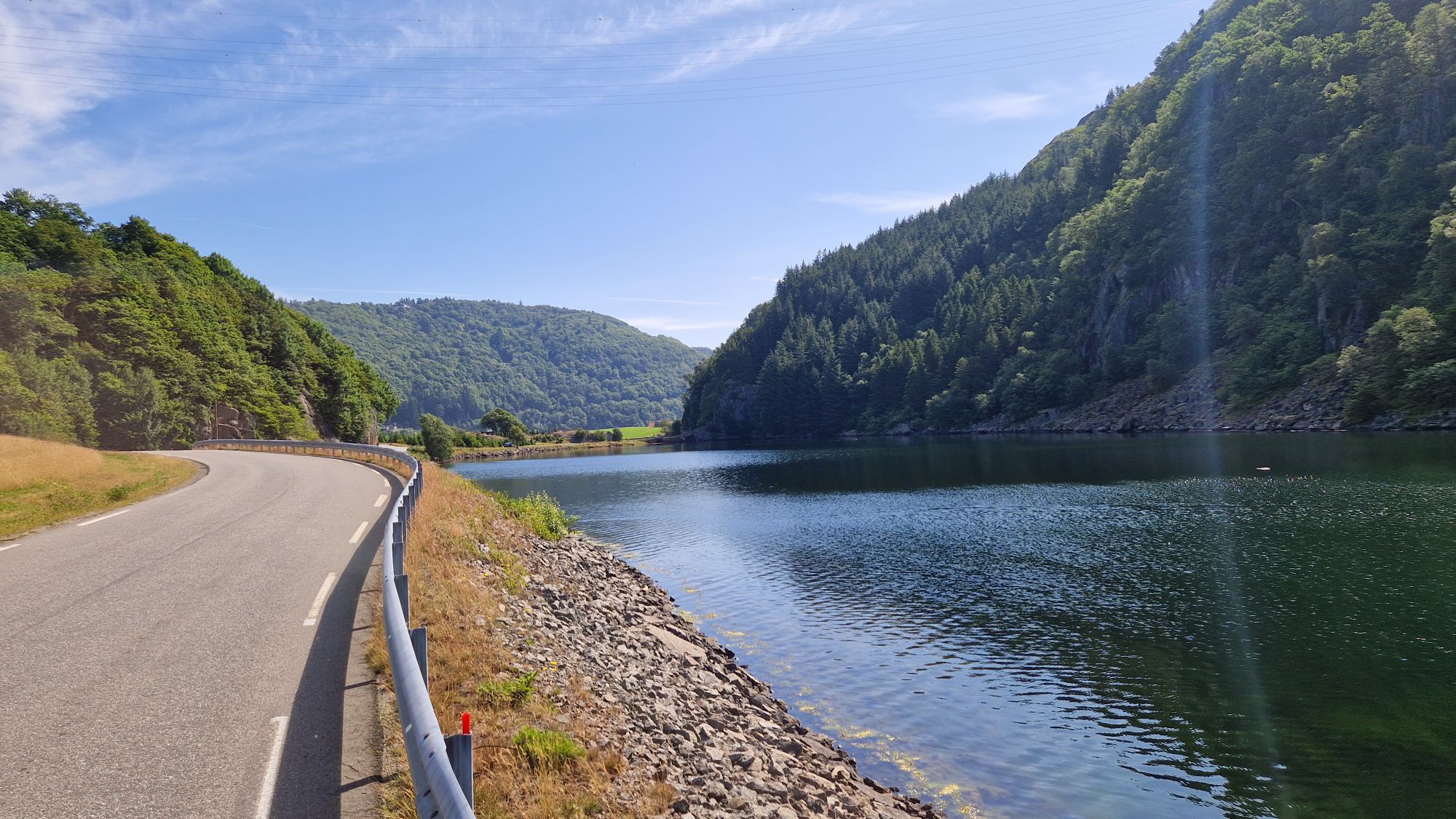
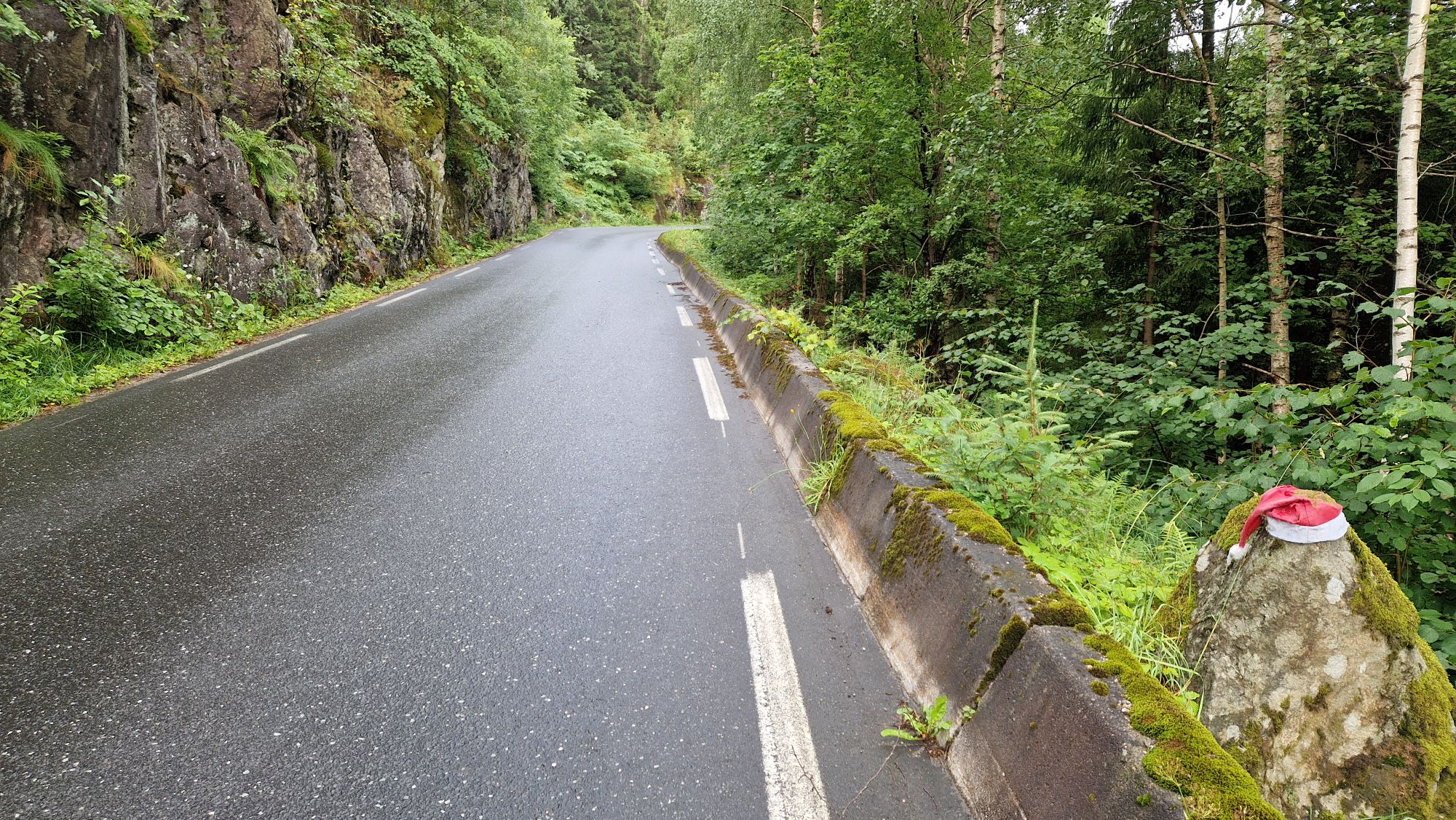
Roads and traffic
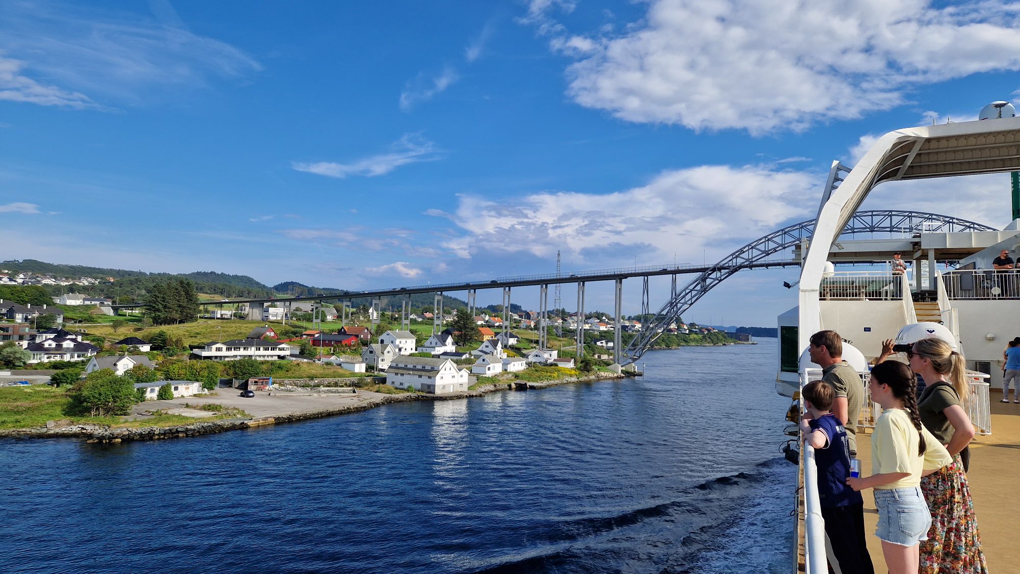
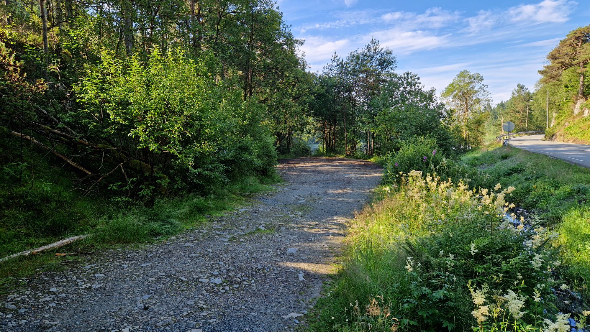
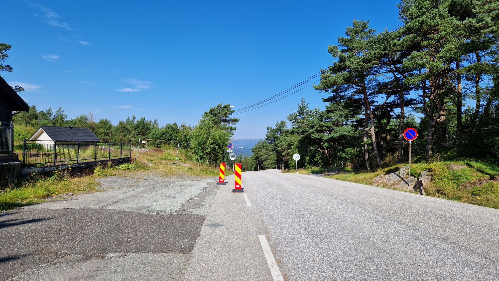
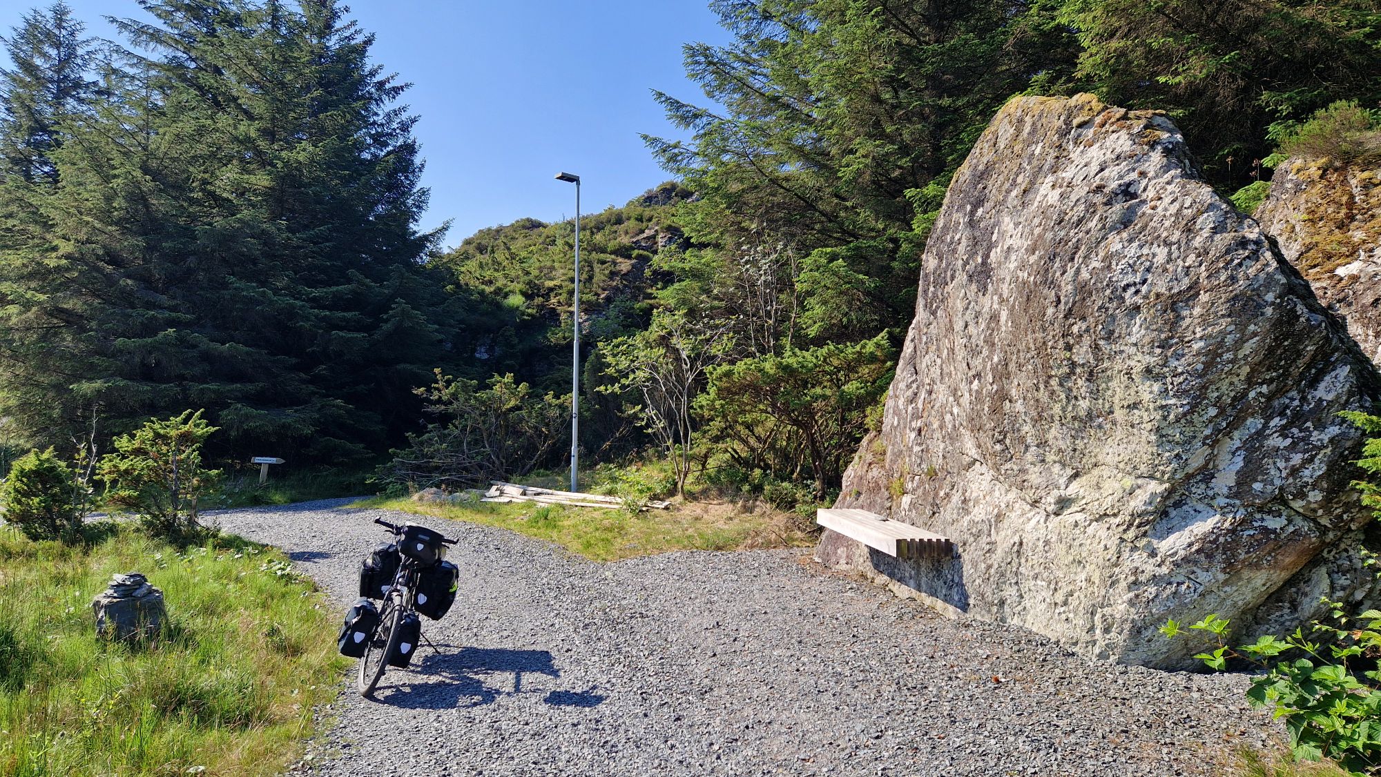
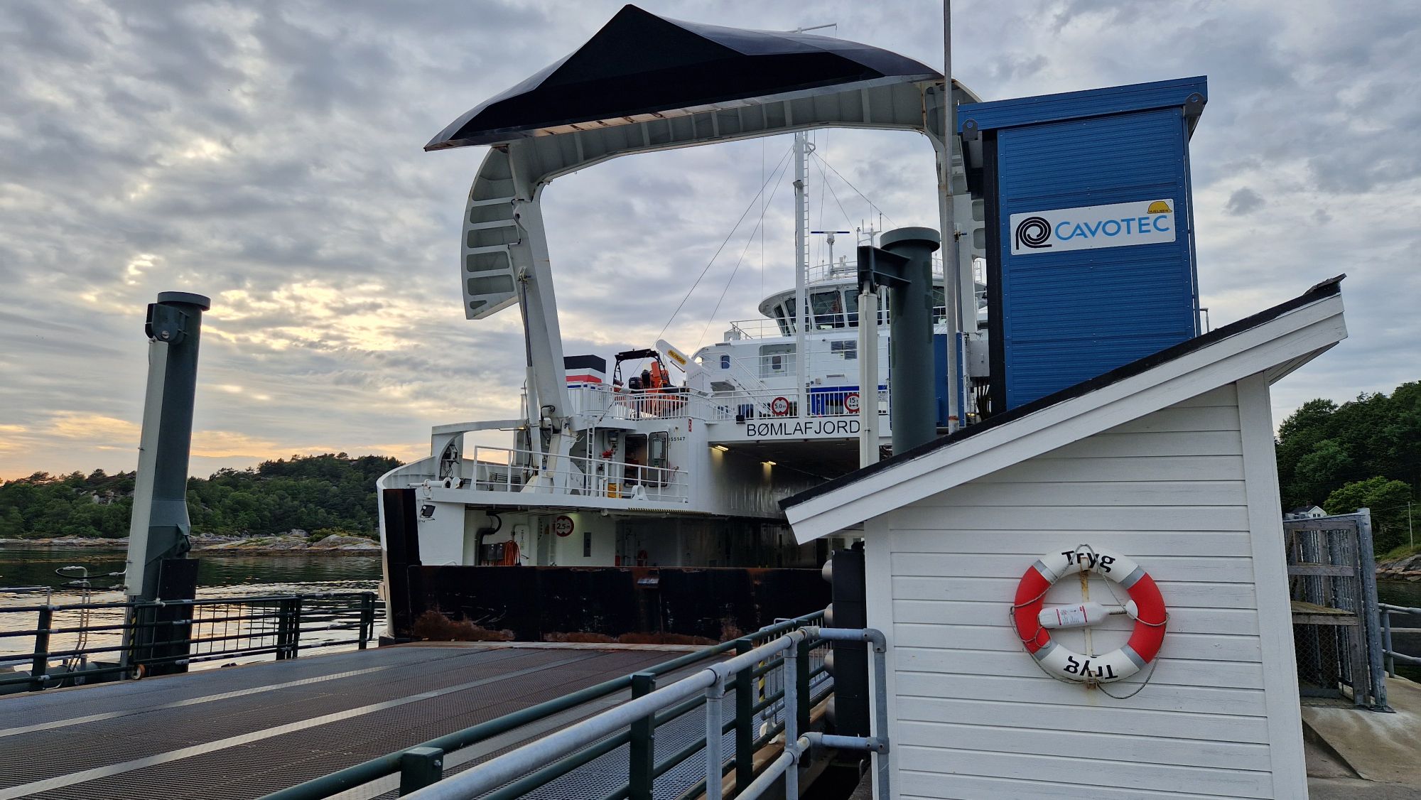
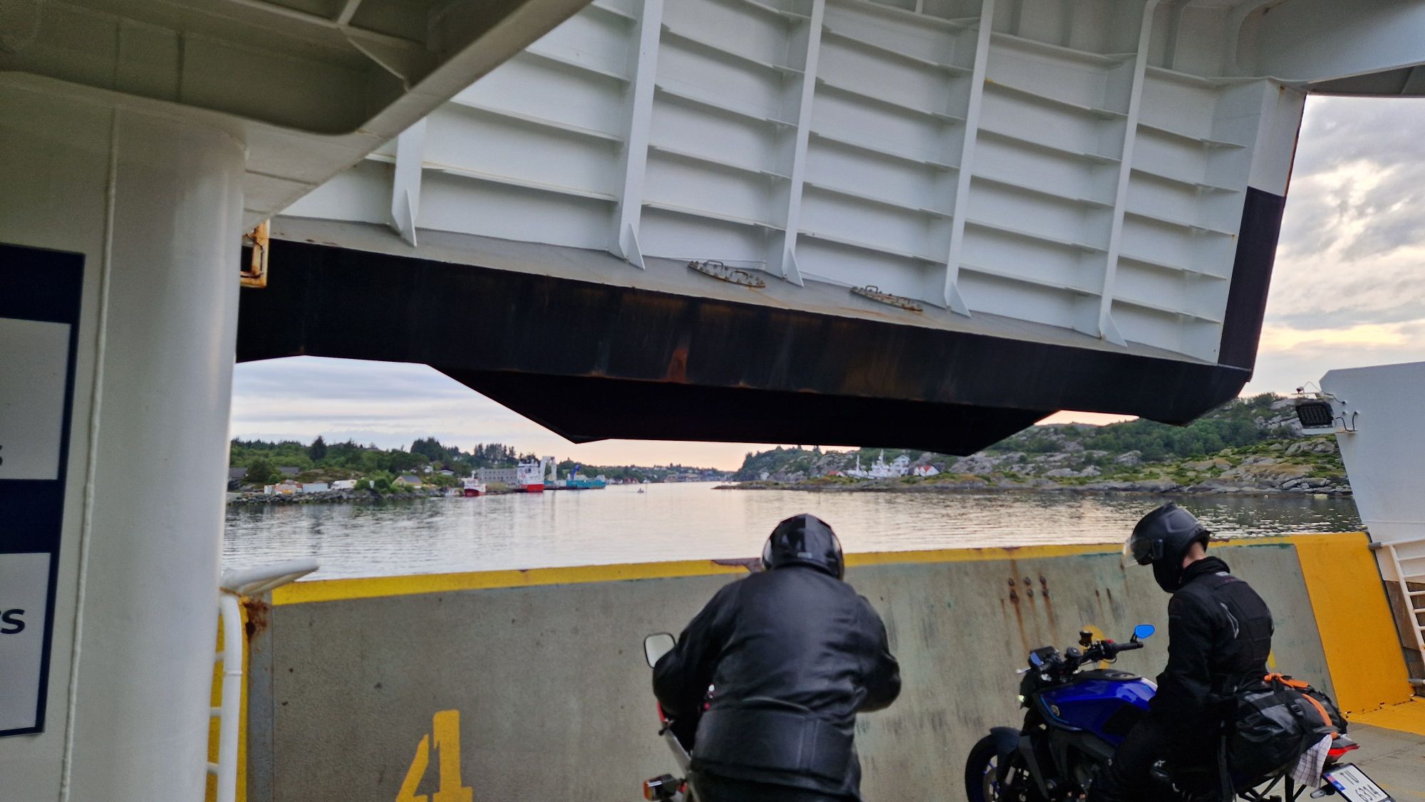
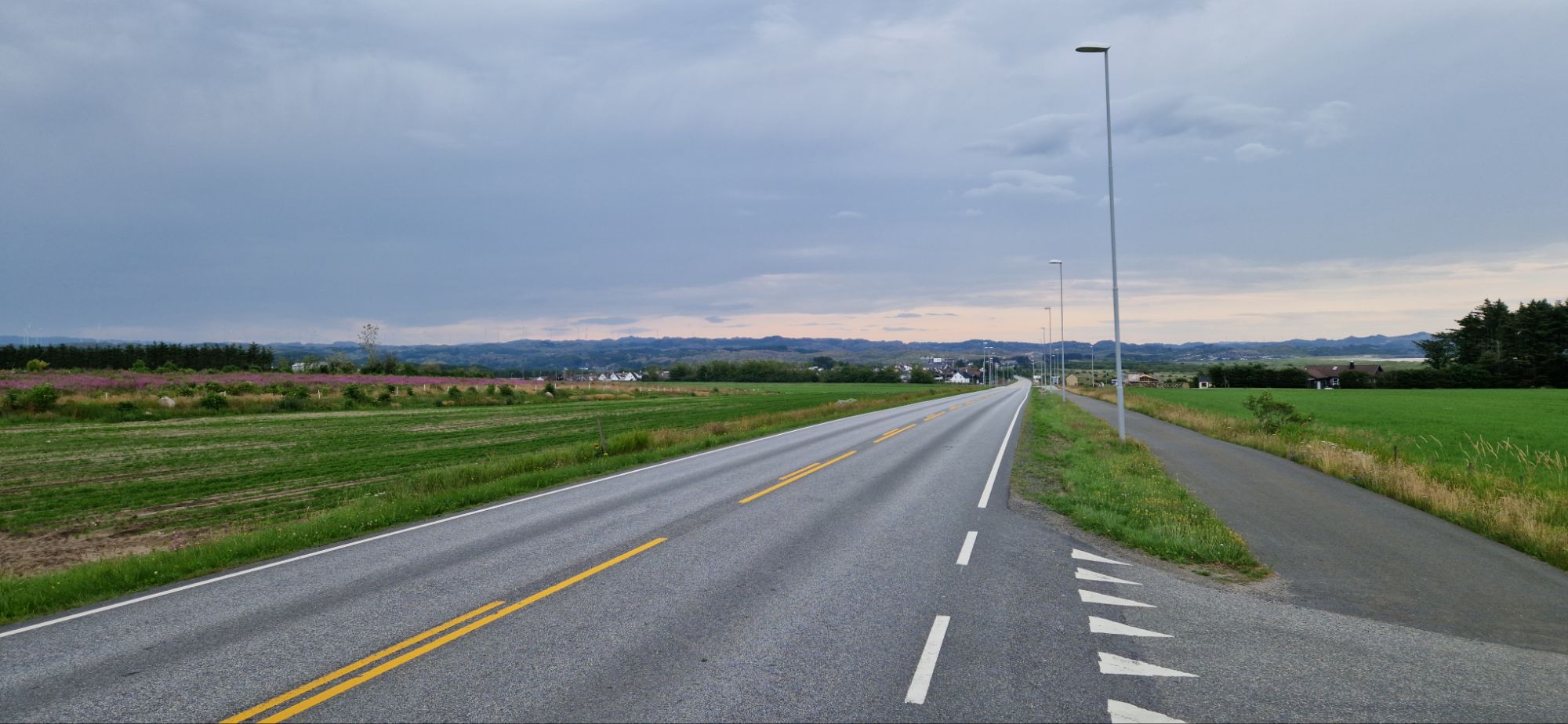
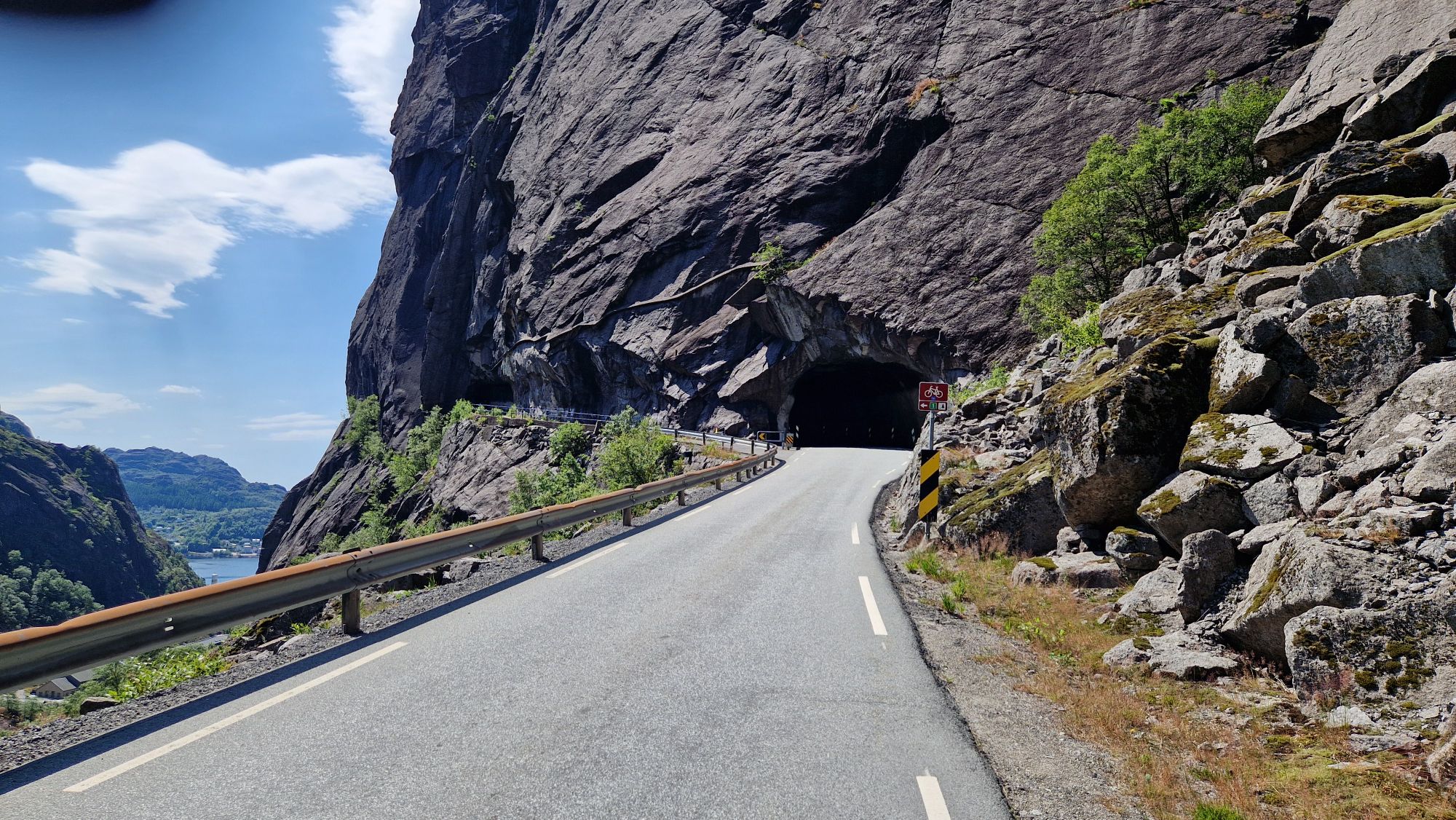
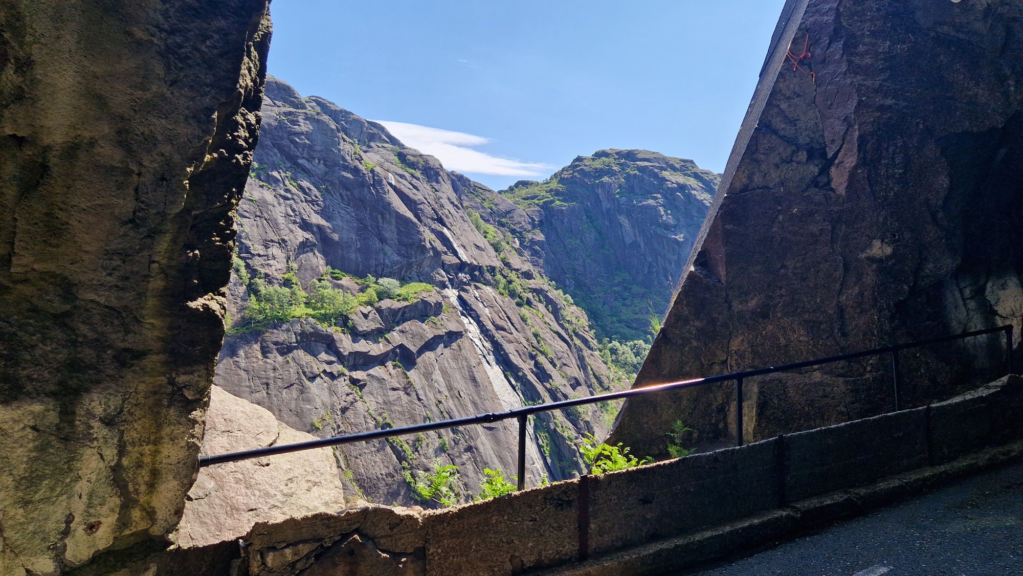
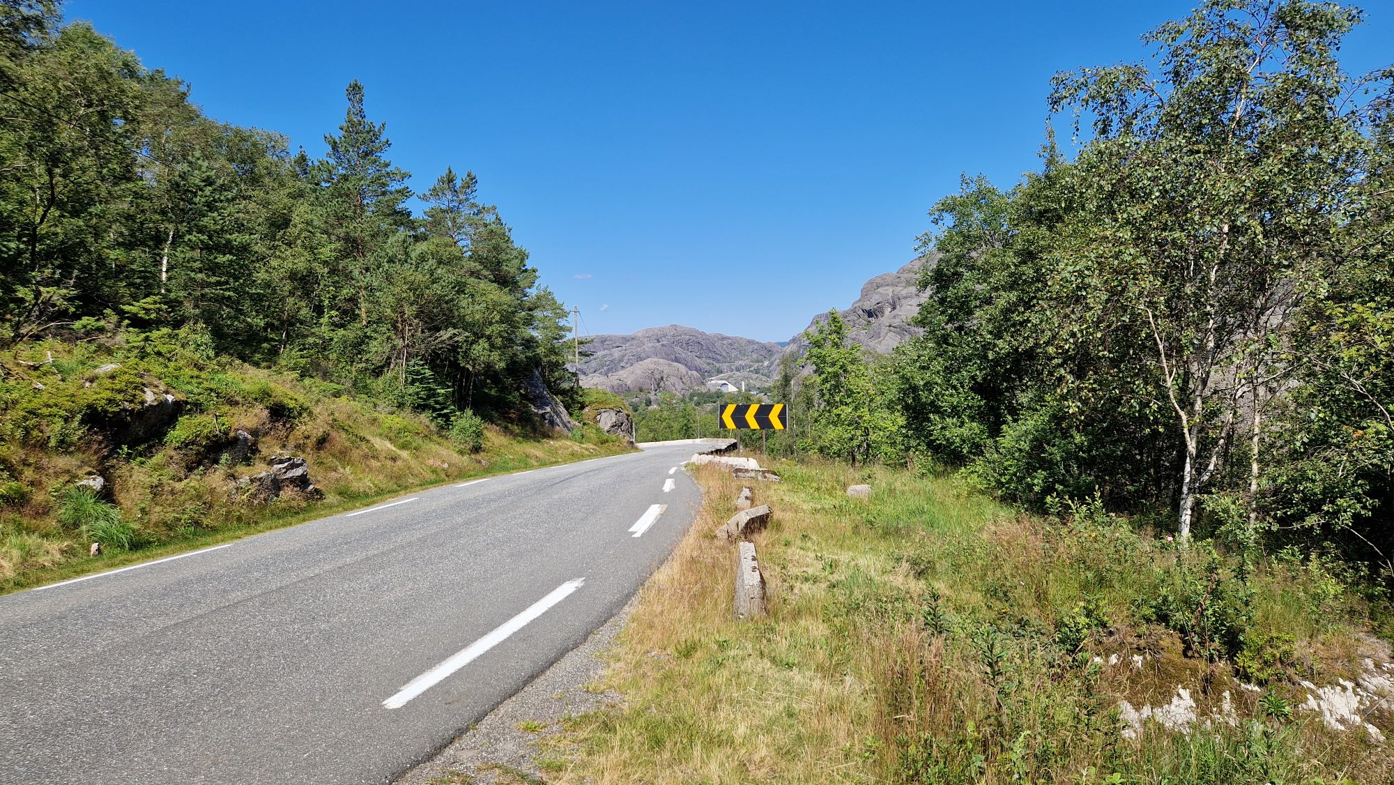
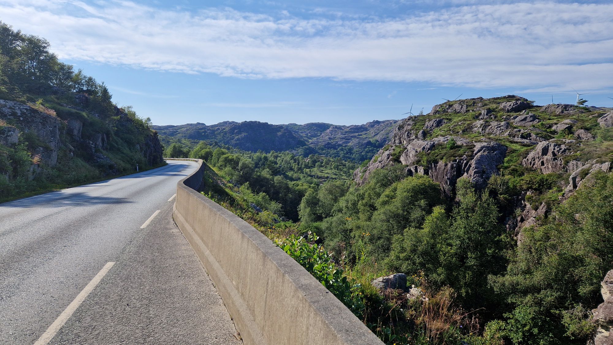
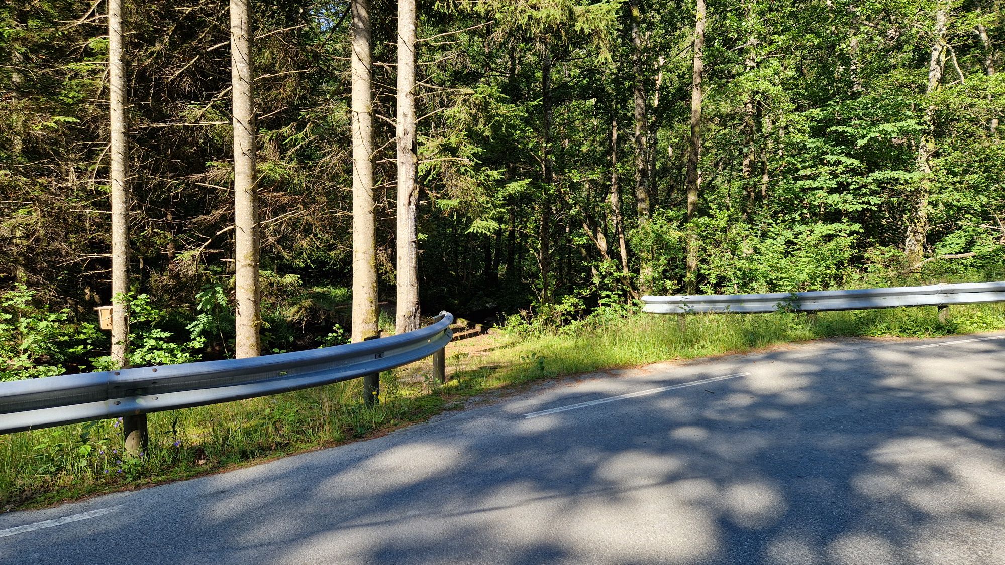
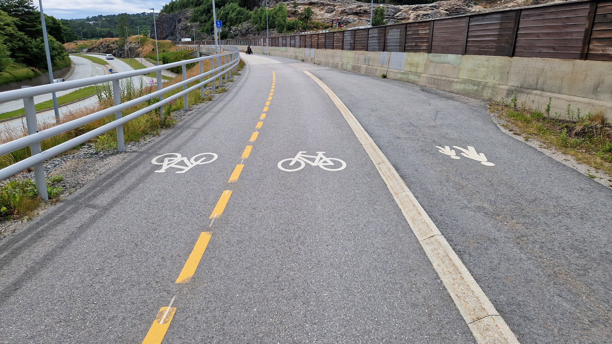
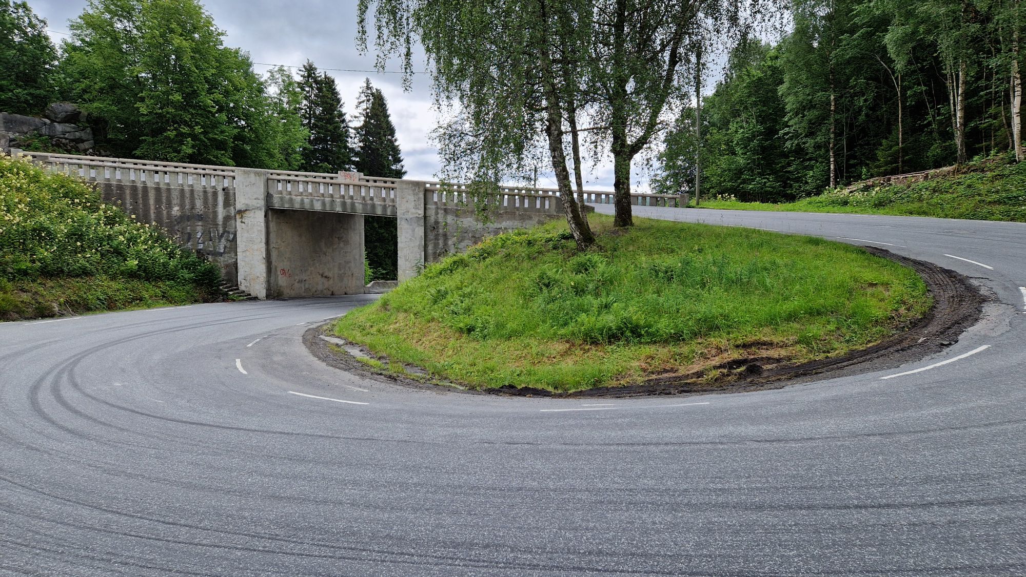
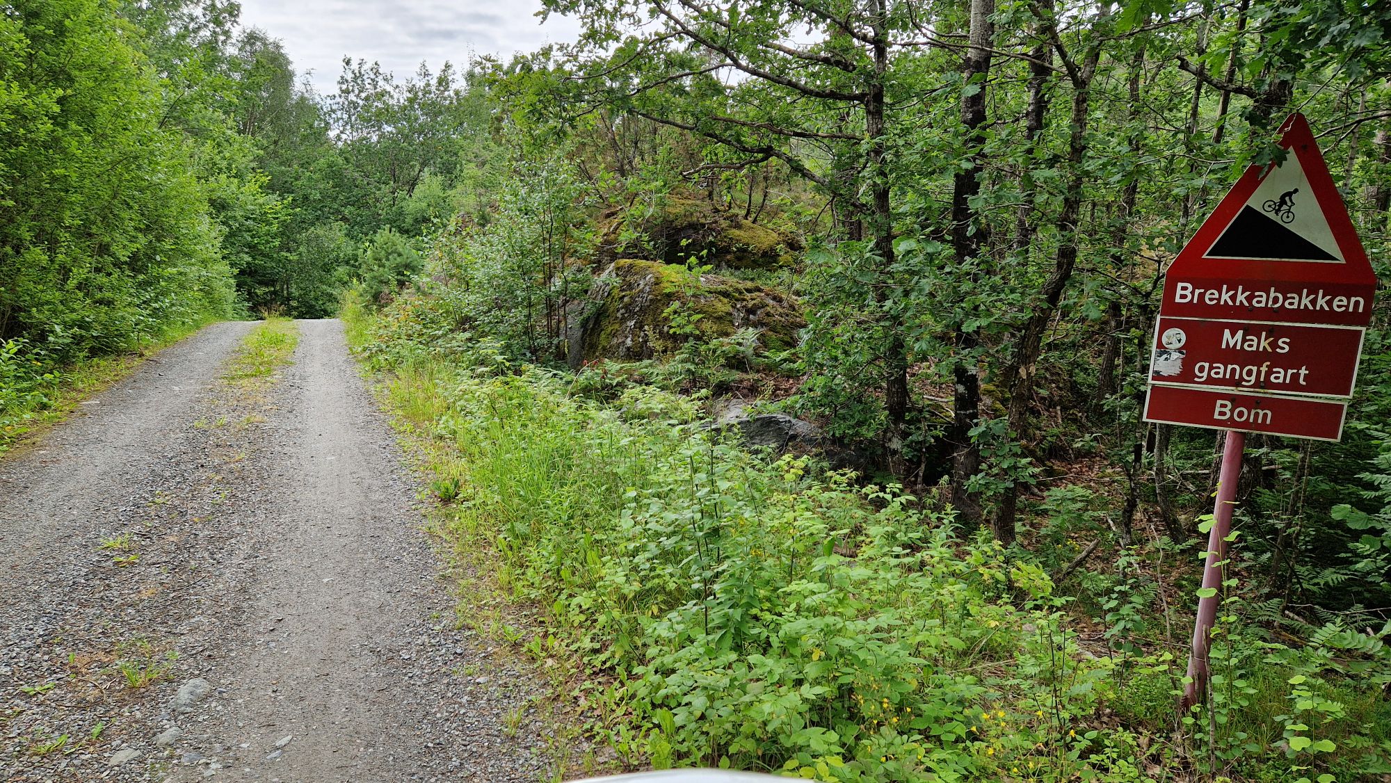
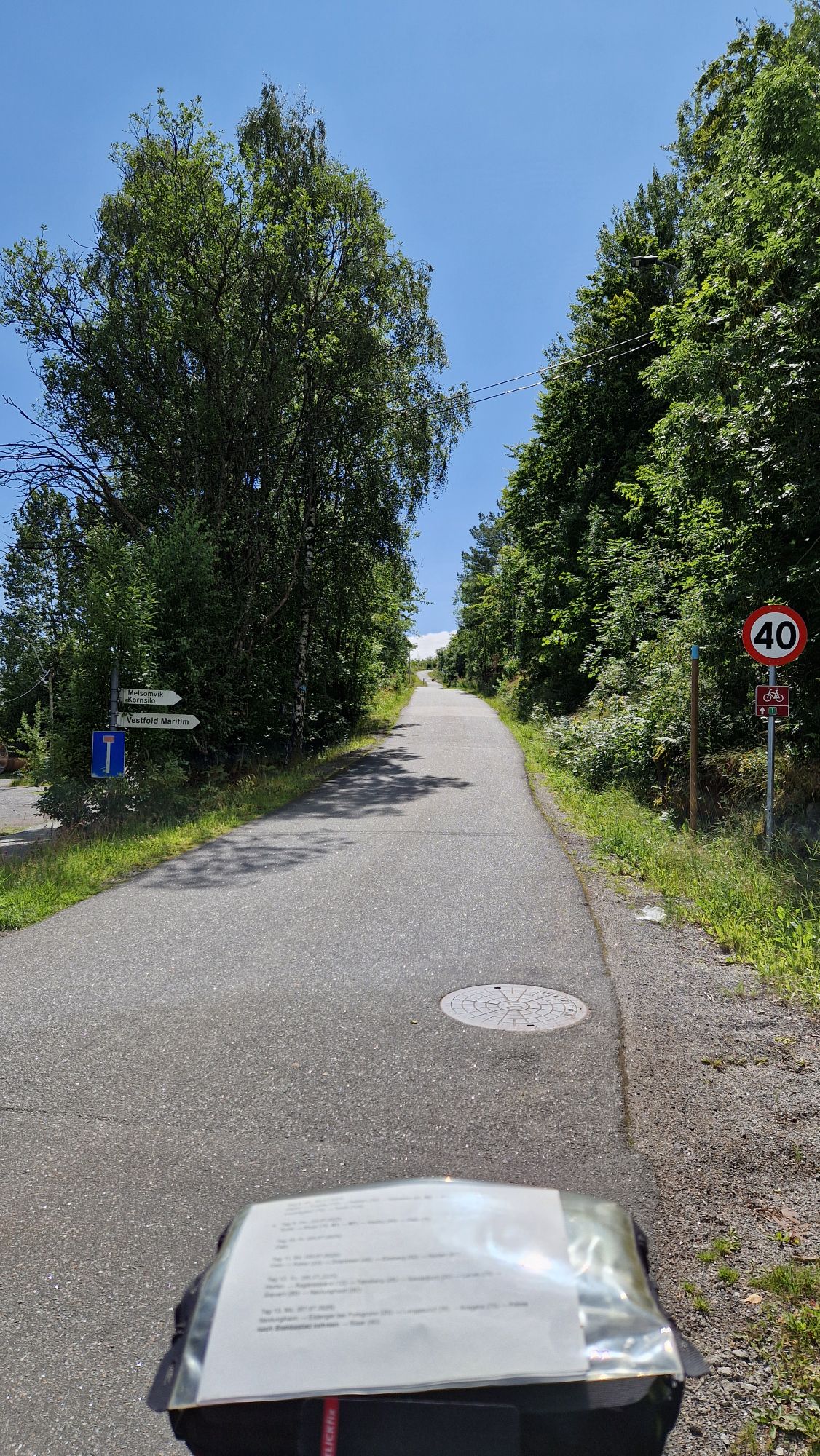
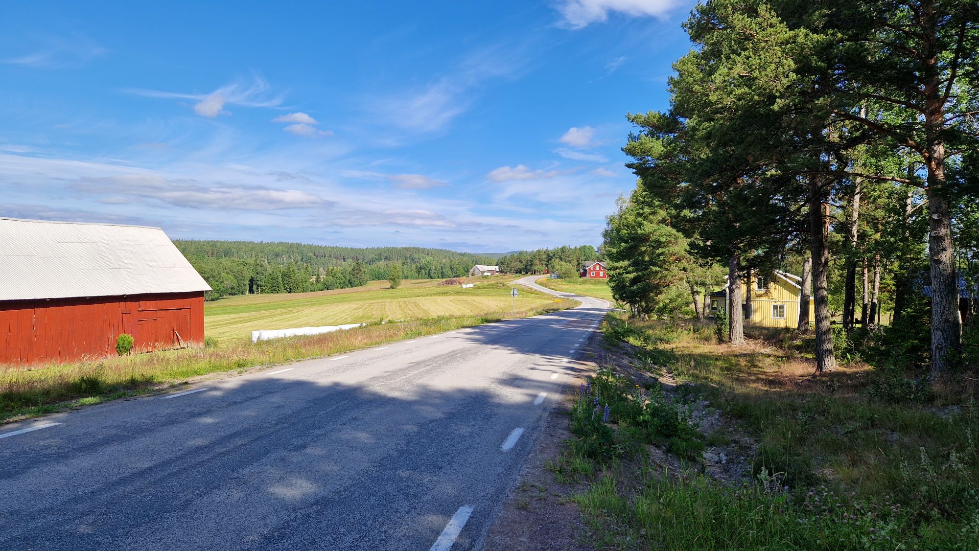
95% of the cycling roads in Denmark, Sweden and Norway were in an exceptionally good condition. I’ve never had such a good riding experience. The car drivers were very kind and cautious. They were overtaking cautious with about 1.5 meters of distance to me. I was warned by horn on three occasions: once by an Italian camping van driver, once by some crazy/drunk gang having a good time and once when I entered a tunnel where cyclists and pedestrians were not allowed. I felt safely on the roads and was very confident that I would finish the tour alive 
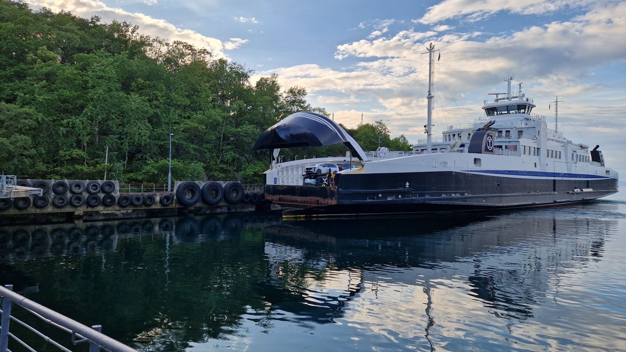
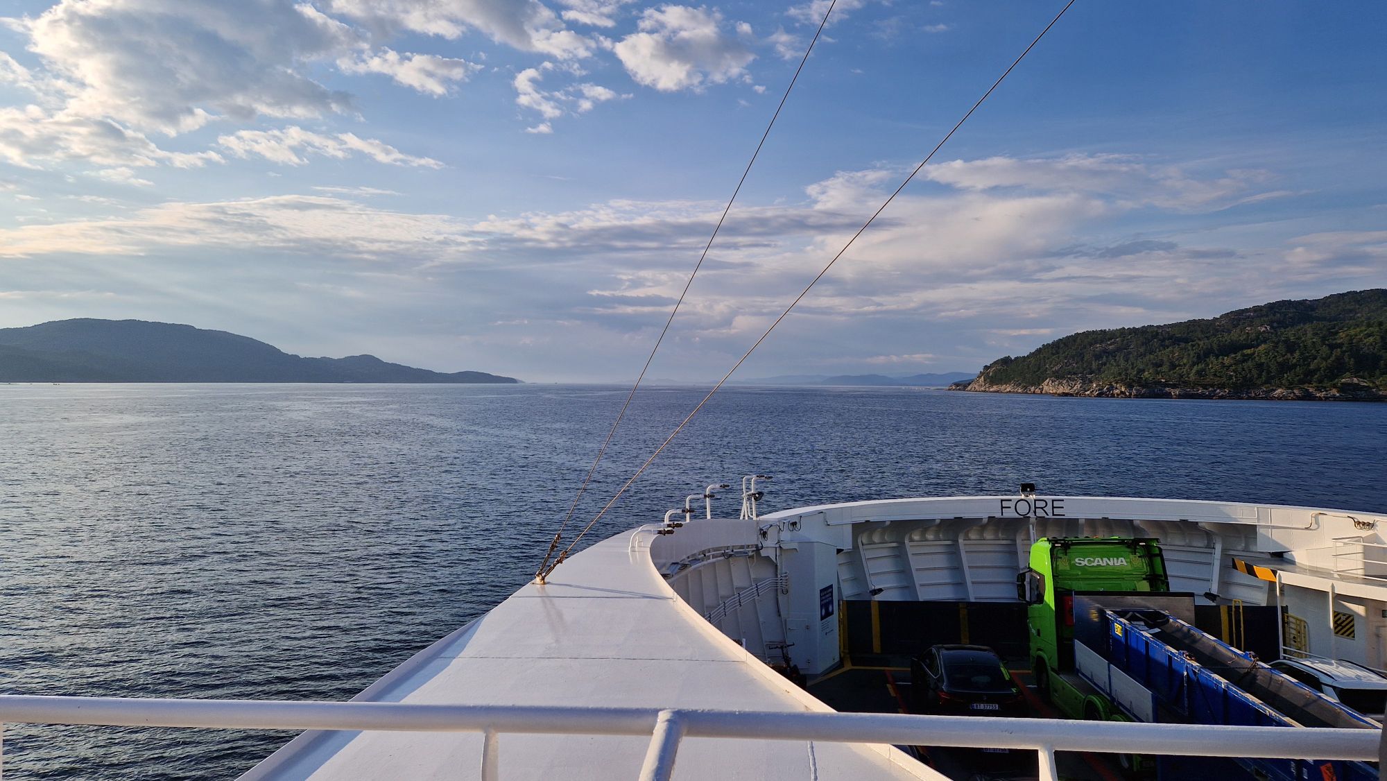
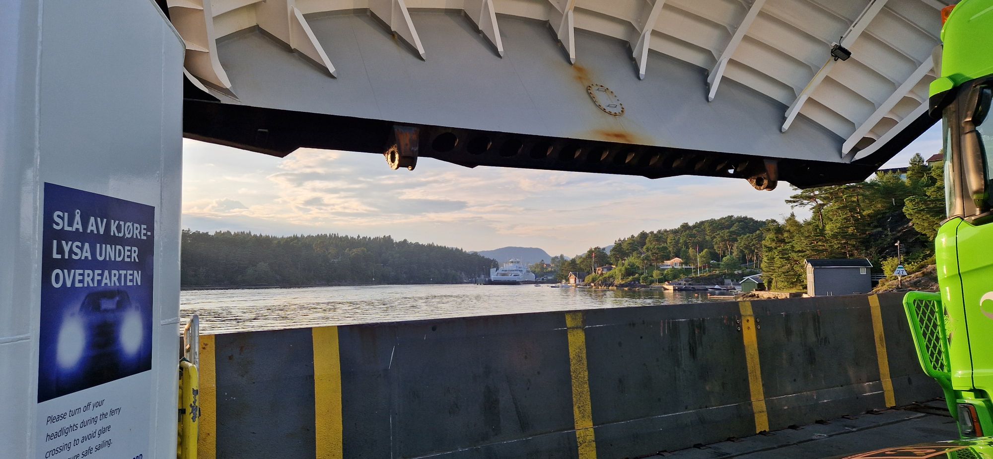
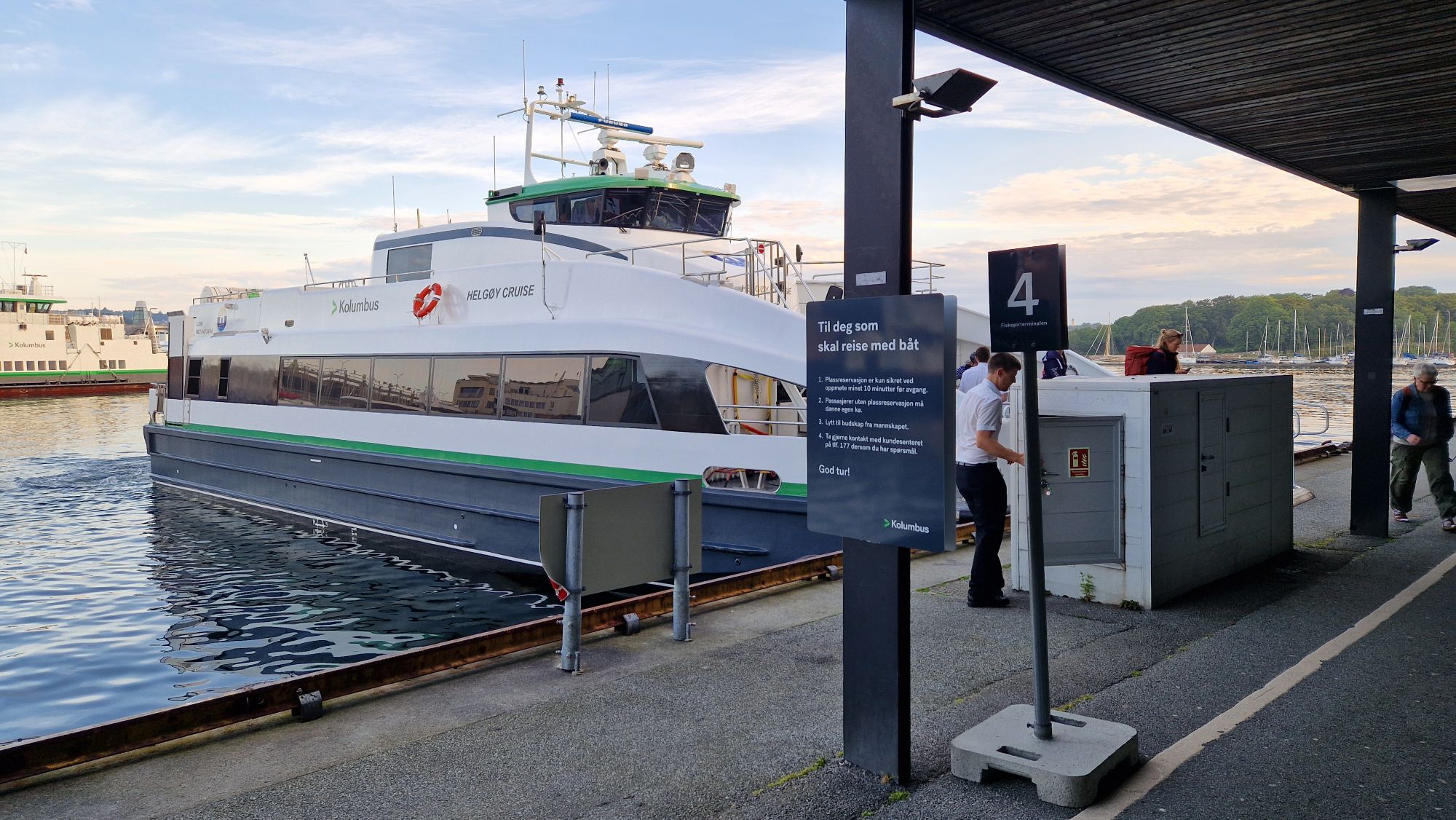
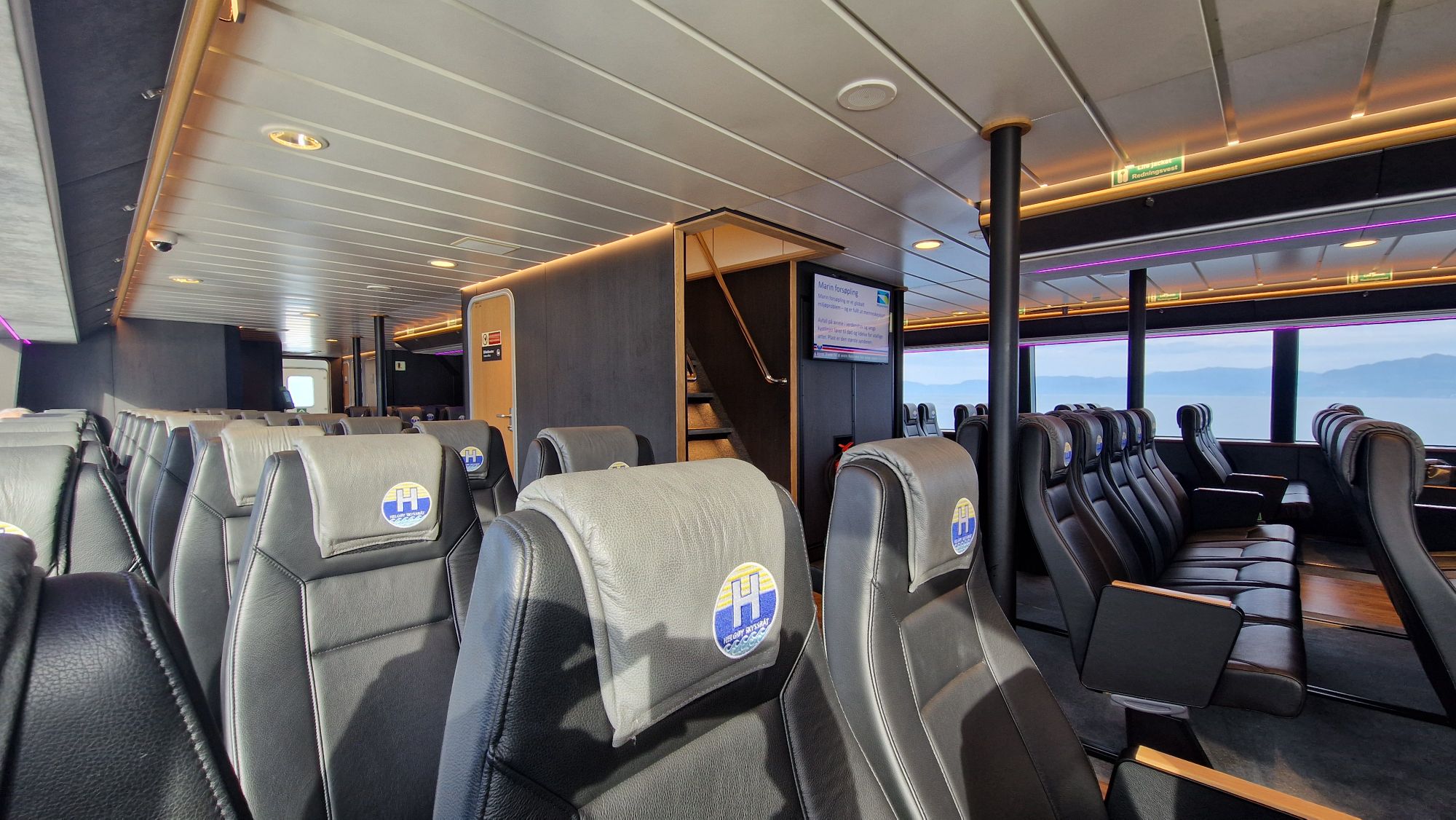
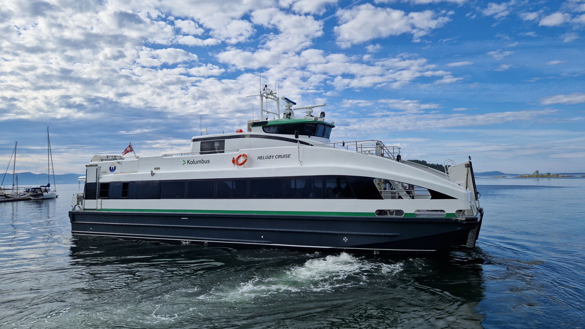
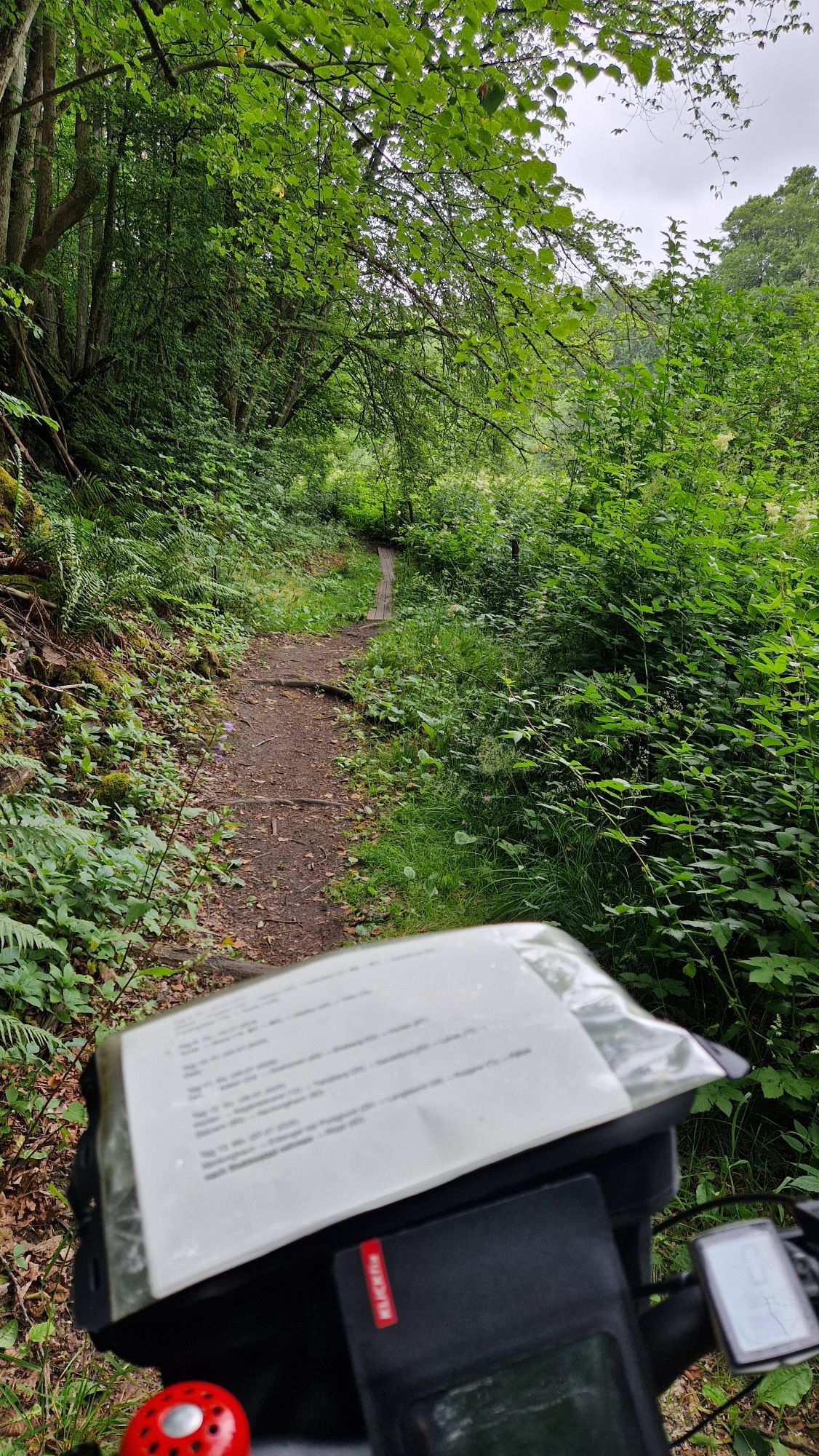
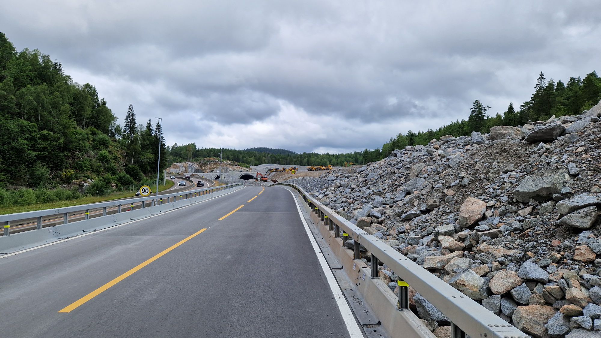
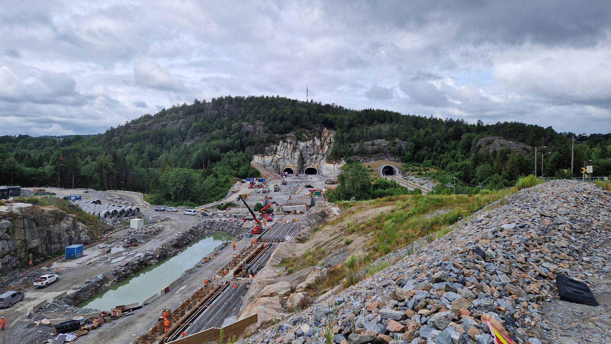
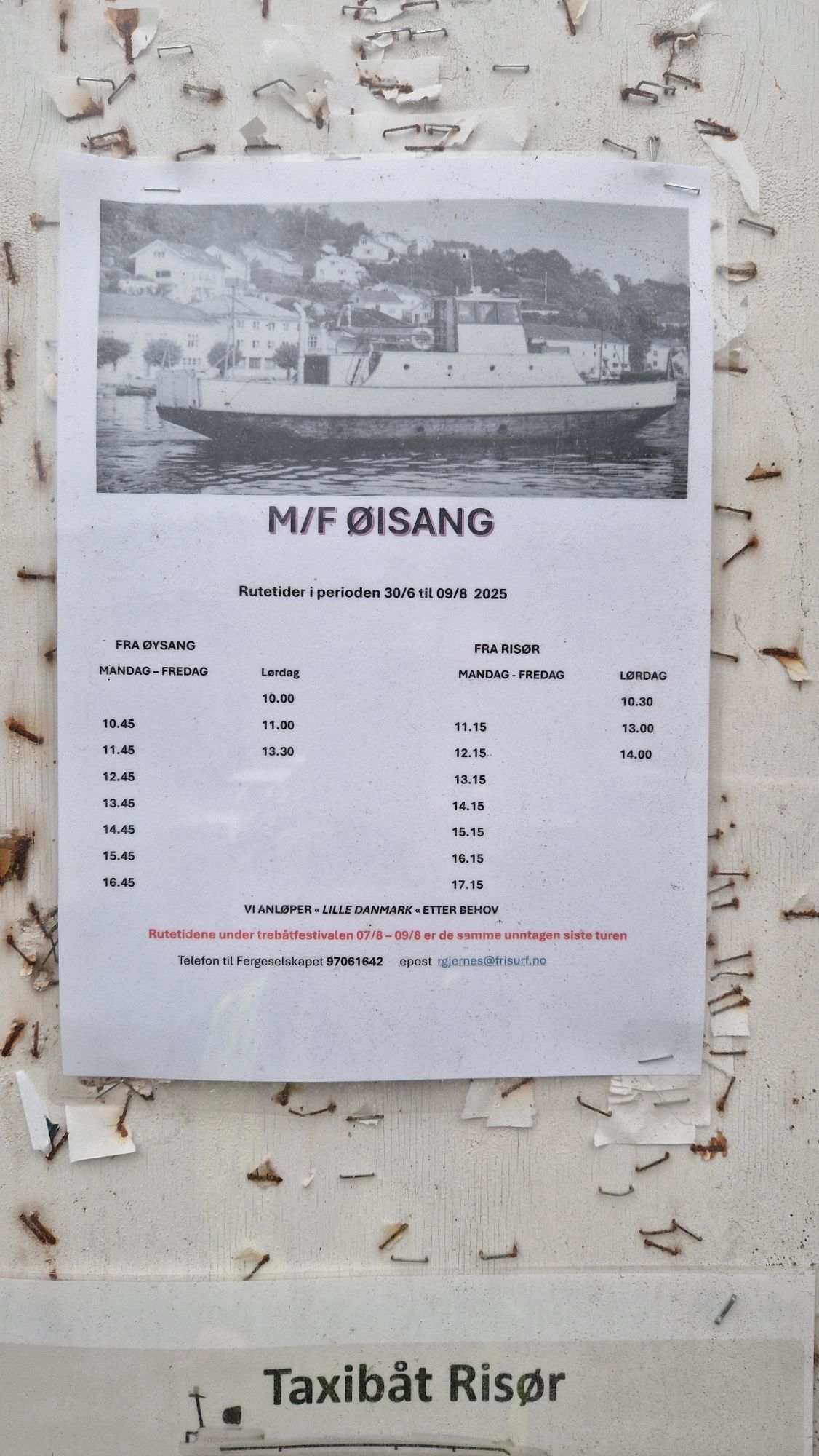
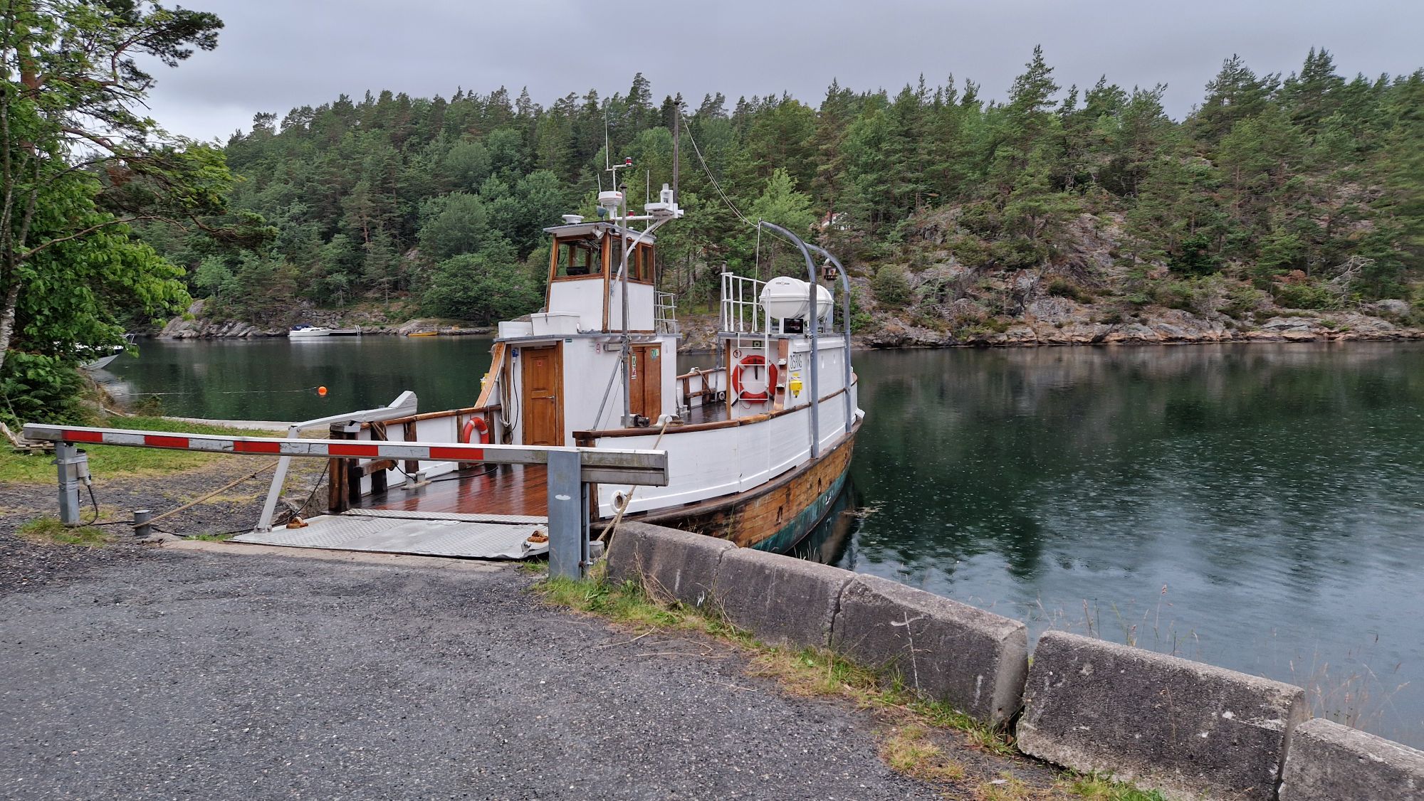
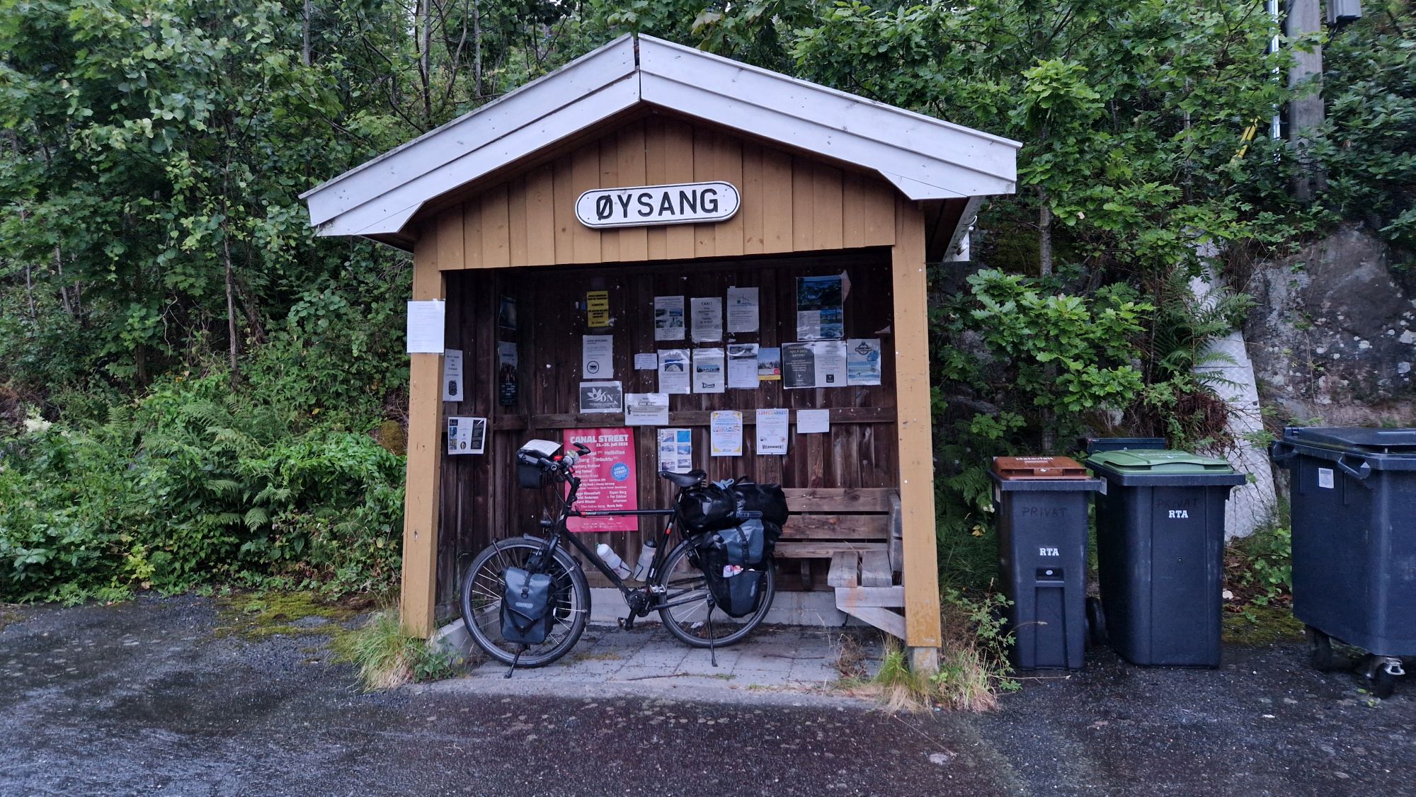
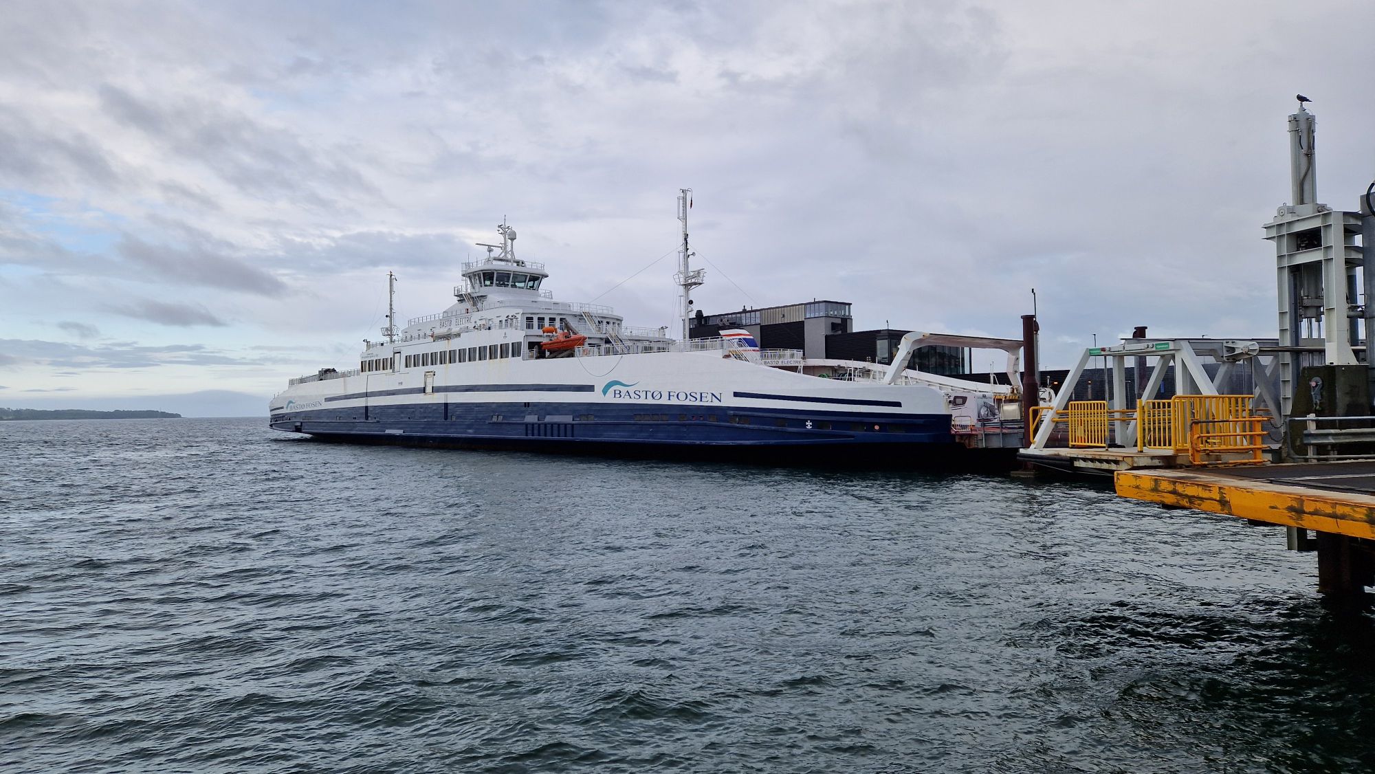
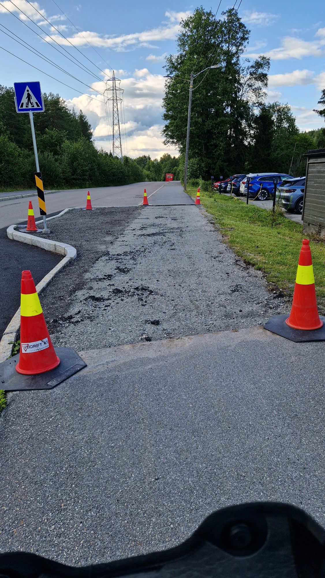
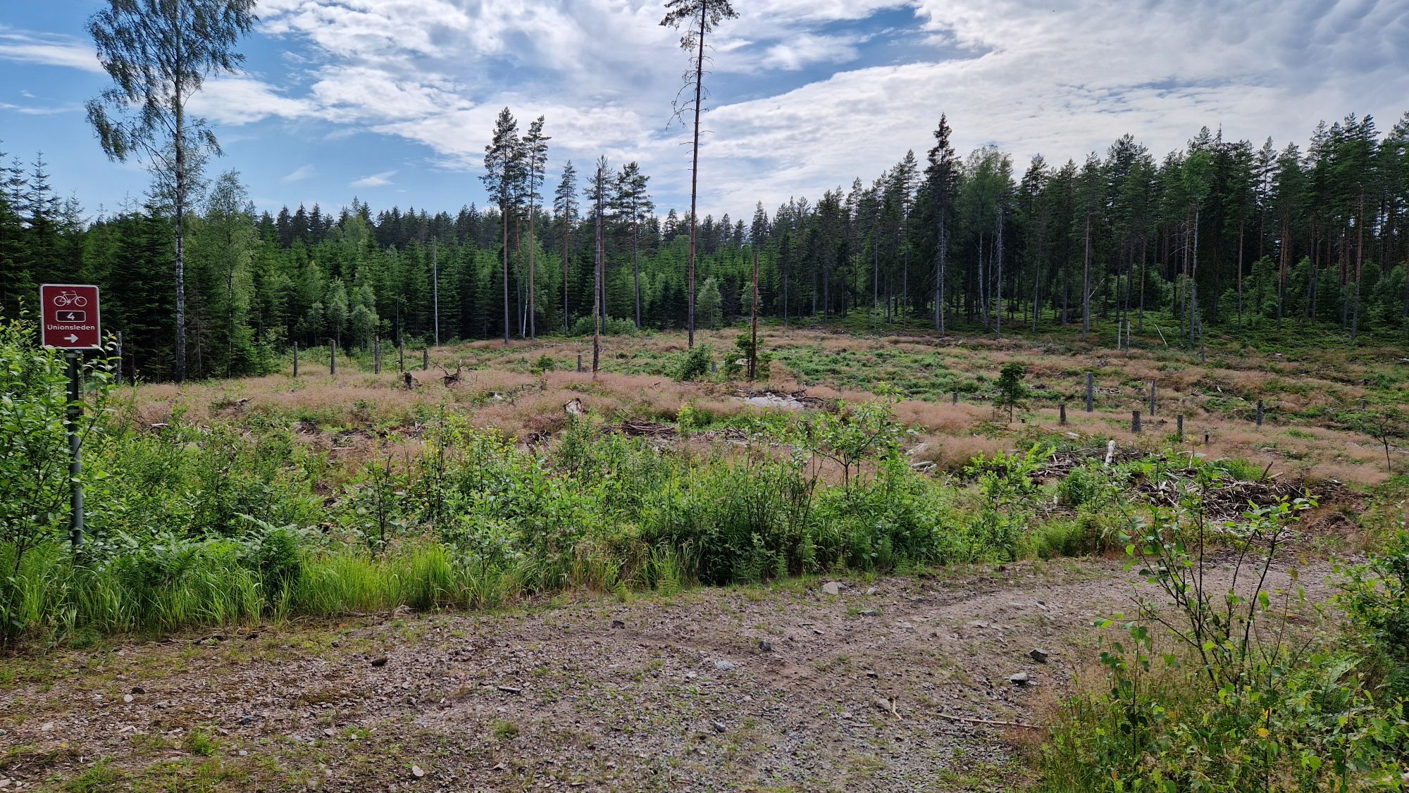
On the other hand, there were some minor issues on route: missing signs put me on wrong route multiple times per day. Some construction sites (e. g. near Oslo) made a detour necessary. The ferries were great except that one in Øysang. I’ve noticed that many Swedish and Norwegian pedestrians walk on the “wrong side” of the road. This confused me a bit because I wasn’t used to drive on a collision course with a pedestrian. One just needs to signalize an overtake with the left arm and everything will be fine. Absolutely no need to bell and yell at them!
What’s next?
My wallet needs to heal. Usually I spend 600-800 EUR for such a three-week bike tour but this tour was expensive for sure. I’ll try to find a good compromise between travel expenses, accommodation and “premium stuff” next year. My next year’s journey would continue from Bergen to the north towards Lofoten. Lofoten aren’t a “cycling paradise” due to its mountain-like terrain and harsh weather conditions, however, I’d like to travel to the northern parts of Norway and perhaps reach Nordkapp by 2027. That would be awesome! The return route would be either by ship (Hurtigruten) or by train/by bus. I’d use more ferries to deal with crossing the fjords and try not to cycle on roads or through tunnels “by any means necessary”. Unfortunately, my vacation time is limited every year to 4 weeks during the summer time so I’d expect some 1500 km in 3 weeks at best with one additional week for arrival and departure. Right now, I’m just enjoying the good time I had in Denmark, Sweden and Norway and looking forward to return next year…
2025 Bike Touring in Sweden and Norway – Summary and Final Thoughts Read More »